Carbonate bioreef formations serve as crucial hydrocarbon reservoirs, and their accurate identification bears significant implications for oil and gas exploration. Moreover, the precise and refined delineation of prograding body structures aids in the comprehensive analysis of stratigraphic geologic configurations. We develop the knowledge graph and geologic strata interpolation constraints (KGGSICs) model for the intricate identification of carbonate bioreefs and prograding body structures. Furthermore, we assess our KGGSIC-Unet architecture on the Dengying Formation Sections 3-4 carbonate bioreefs and prograding bodies in the Moxi area of the Sichuan Basin. Experimental results indicate that the KGGSIC enhances the predictive performance of the U-Net and realizes the precise and refined segmentation of carbonate bioreefs and prograding body structures. In addition, through a meticulous geologic study of the area, we synthesize the 2D profile identification results to achieve the precise and refined identification of carbonate bioreefs and prograding bodies.
Fault surface extraction is a crucial step in seismic interpretation, which can help structural interpretation and structural modeling. A key focus of fault surface extraction research is to extract fault surfaces in their entirety as much as possible, rather than just in fault segments, which is more challenging in some complex fault situations. To address this challenge, we develop a fault surface extraction method based on computational topology to extract fault surfaces in their entirety as much as possible from a fault attribute and effectively handle some complex fault situations, such as intersecting faults. From a given seed point on the target fault, we use the idea of regional growth to search for high-confidence points on the target fault, called fault control points, under the constraints of the fault attribute and the calculated fault orientations. Through these fault control points, we extract the fault boundary and process the fault attribute so that only the target fault is included. Furthermore, we use an operation in computational topology called collapse to extract the target fault from the processed fault attribute using the fault boundary as a constraint. By incorporating fault orientation information and using a relatively large search distance during the control point search, our method enables the integration of segmented faults and facilitates the handling of complex fault situations such as intersecting faults. The collapse operation ensures that the extracted fault surfaces align with the fault attribute, correspond to the actual fault locations in seismic data, and enhance fault continuity. In addition, we develop an automatic method for picking seed points to realize the extraction of all the faults in the research data. We test our method on several field data sets and the experimental results demonstrate its effectiveness. In some complex fault situations, such as intersecting faults, our method performs well and indicates a significant improvement over the compared method.
Seismic facies characterization plays a key role in hydrocarbon exploration and development. The existing unsupervised methods are mostly waveform-based and involve multiple steps. We have developed a method to leverage unsupervised contrastive learning to automatically analyze seismic facies. To obtain a stable result, we use 3D seismic cubes instead of seismic traces or their variants as inputs of networks to improve lateral consistency. In addition, we treat seismic attributes as geologic constraints and feed them into the network along with the seismic cubes. These different seismic and multiattribute cubes from the same position are regarded as positive pairs and the cubes from a different position are treated as negative pairs. A contrastive learning framework is used to maximize the similarities of positive pairs and minimize the similarities of negative pairs. In this way, we can enforce the samples with similar features to get close while pushing the samples with different features to be separated in the space where we make the seismic facies clustering. This contrastive learning framework is a one-stage, end-to-end, and unsupervised fashion without any manual labels. We have determined the effectiveness of this method by using it to a turbidite channel system in the Canterbury Basin, offshore New Zealand. The obtained facies map is continuous, resulting in a stable and reliable classification.
The conductive model of complex shaly sandstones is used to describe the rock-electric characteristics, which is the key to reservoir saturation evaluation. At present, conductive models as a single factor are unable to accurately reflect the conductive property of complex shaly sandstones, which limits the evaluation precision of reservoir saturation. In this paper, by incorporating multiple factors of shale, pore structure, and conductive structure, a novel modified equivalent rock element model (MEREM) is developed to analyze the rock-electric characteristics and calculate the reservoir saturation in complex shaly sandstones. Our studies show that pore structure and shale significantly influence the conductive property of complex shaly sandstones. However, they have the opposite effect and may cancel out each other. Moreover, the conductive model presented here has achieved promising results in interpreting experimental data. Furthermore, the MEREM is extended to oil-bearing shaly sandstones, demonstrating that the rock resistivity at different saturation is sensitive to pore structure and shale. The MEREM is applied to predict the reservoir saturation, and the computed saturation is found to be well-matched with cores. Therefore, the proposed MEREM is good for interpreting rock-electric characteristics and the evaluation of reservoir saturation in complex shaly sandstones.
Due to the influence of multiple factors on the conductive properties of rocks, the Archie's formula, considering only a single factor, makes it difficult to reasonably explain rock-electric characteristics of cracked porous rocks. In order to better describe the conductive mechanism of cracked porous rocks, a generalized multifactor conductivity model was proposed by considering and introducing multiple influencing factors such as the series-parallel structure, conductive matrix, cracks, and fluids, which is conducive to more accurate research on the conductive mechanism of rocks. It should be noted that the developed model is not only applicable to cracked porous rocks but also useful for porous rocks. Through the study and analysis of various influencing factors, it is demonstrated by the simulation results that both the conductive matrix and cracks improve the conductive ability, which are crucial factors resulting in the non-Archie behavior and low-resistivity pay zone, and rock conductivity is more sensitive to the conductive matrix and cracks in tight reservoirs with porosity below 10%. Furthermore, experimental data are available to validate the novel multifactor conductivity model, and the comparison results show its advantages in predicting and explaining the conductive properties of cracked porous rocks.
砂质碎屑流储层普遍非均质性较强,纵、横向变化快,储层预测难度大.因此,需要精细描述砂质碎屑流储层,以拓展油气勘探新领域.利用多属性融合技术预测砂质碎屑流储层面临属性优选,很难得到明确的解释结果.为此,利用GeoEast软件的核主成分属性优化技术与神经网络反演技术定性与定量预测砂质碎屑流储层,落实砂质碎屑流储层发育区.首先,分析砂质碎屑流地震响应特征,利用核主成分压缩技术定性预测砂质碎屑流;其次,利用敏感曲线(GR曲线)对砂质碎屑流储层的敏感性,利用神经网络反演定量预测砂质碎屑流有效储层的分布范围.结果表明,利用神经网络反演结果在平面上确定了 6个砂质碎屑流砂体,与钻井结果匹配较好.
"十三五"期间,中国石油天然气股份有限公司(简称中国石油)紧跟国际人工智能发展形势和物探领域的重大需求,在地震处理、解释环节超前谋划,积极布局,有力推动了物探技术向智能化发展,形成了智能地震处理和智能地震解释两大技术系列,并创新研发了智能地震标签数据集构建软件;同时,创新研发模式,牵头组建了由北京大学等组成的"6+1"智能物探"产学研"联盟,有效推动了中国石油智能物探技术创新工作,实现了与国际智能物探技术的同步发展."十四五"期间,中国石油将围绕公司的"数字化转型,智能化发展"战略,顺应全球能源转型和智能化发展趋势,明确"123456"的发展思路和方向;立足模块替代,探索流程再造,积极推动智能地震处理解释技术创新发展与落地见效.其中,在人力密集型环节实现智能模块替代,提高地震处理解释效率,支撑实际生产提效降本;在技术密集型环节实现智能流程再造,提高地震处理解释精度,引领物探技术创新发展,形成世界一流的智能地震处理解释技术系列,实现智能物探科技自立自强,全面推进中国石油物探业务智能化发展,最终实现智能化找油找气,并为水平井钻井提供实时导向.
海洋地震资料普遍发育强能量表面多次波,传统表面多次波压制技术(SRME)能够预测出所有阶次表面多次波,但是各阶次表面多次波相互混叠.为了能够单独利用不同阶次的表面多次波成像,降低干涉假象对多次波成像的影响,需要将不同阶次的表面多次波分离出来.本文提出一种基于扩展SRME的海洋单阶次表面多次波分离方法.首先,应用SRME技术预测出混叠的所有表面多次波;其次,修改常规SRME技术的边界输入条件,将上一步求得的所有多次波进行升阶次处理;再次,预测出混叠的所有表面多次波与其升阶次后的表面多次波匹配相减求得单阶次多次波.以此类推,能够逐步分离出不同阶次的表面多次波.数值模型和某深海实际资料测试表明本方法的有效性,不同阶次表面多次波被有效分离,为后期多次波的利用奠定了基础.
深海探区蕴含着大量的油气资源,高质量的地震资料是识别有利储层的关键,然而,一些探区由于浅层气云、气烟囱、泥浆带、低速异常体等高吸收异常带的存在,造成深层地震波振幅变弱,频率降低,严重影响构造成像精度.Q偏移技术来补偿深海地震资料的吸收衰减,首先采用谱比法建立时间域的等效Q场;其次,基于等效Q场进行深度域Q层析反演建立准确的Q场模型;最后基于高精度Q场进行克希霍夫Q叠前深度偏移.将该技术在某海外深海探区实际资料处理中应用,浅层低速异常造成的能量吸收现象得到了解决,弱能量区的成像质量得到了明显改善.
孟加拉湾处于深水油气勘探前沿领域,近年来备受国际油公司关注.针对该区地震资料中存在的受鬼波影响产生虚假同相轴、浅层气影响下伏地层速度场求取、储层地震波振幅弱和频率低影响目的层成像精度等问题,采取了针对性的处理策略.首先,通过基于波场分离的自适应鬼波衰减技术实现对震源端和电缆端鬼波的压制;其次,采用基于倾角约束的网格层析速度建模技术,精细刻画速度场;最后,应用Q层析实现空间Q场的最终建立,开展基于射线追踪理论的克希霍夫法Q叠前深度偏移补偿资料吸收衰减.通过运用这些技术手段,较好地解决了浅层气造成的能量吸收现象,明显改善了弱能量区的成像质量,为孟加拉湾深水油气勘探奠定了良好的基础.
 YueMing Ye (叶月明)合作论文数6
 He Meng合作论文数3LiSheng Li (李立胜)合作论文数3LiBao Wang (王力宝)合作论文数3Fan Guo-zhang合作论文数2ZhaoQi Wang (王兆旗)合作论文数2ZongRen Wang (王宗仁)合作论文数2
 Xingmiao Yao (姚兴苗)合作论文数School of Resources and Environment, University of Electronic Science and Technology of China2yong xueshan合作论文数1Xiaoming Sun合作论文数1
 Cheng Zhou合作论文数1
 Ruoshui Zhou合作论文数1Mengzhu Shao (邵萌珠)合作论文数1Duo Dong (董夺)合作论文数1
 Tao Zhao合作论文数Schlumberger, Houston, Texas, USA1
 Hu Zhanxuan合作论文数1LiBing Fu (傅礼兵)合作论文数1ZhiCheng Xu (徐志诚)合作论文数1TongKui Wang (王童奎)合作论文数1GangFu Hou (厚刚福)合作论文数1
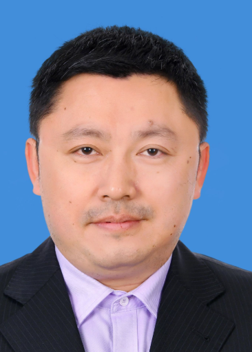 Hanpeng Cai (蔡涵鹏)合作论文数School of Resources and Environment, University of Electronic Science and Technology of China1
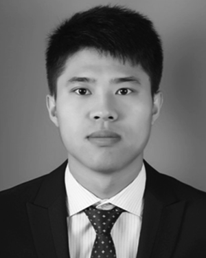 Chang De-Kuan合作论文数1
 Haoran Ren (任浩然)合作论文数Geophysical Intelligent Information Processing Research Group, School of Earth Sciences, Zhejiang University;Department of Earth Information Science and Technology, School of Earth Sciences, Zhejiang University;Explosion and Seismic Sensing Research Center, Institute of Advanced Technology, Zhejiang University1Shiqiong Liu (刘诗琼)合作论文数School of Geoscience and Technology, Southwest Petroleum University1
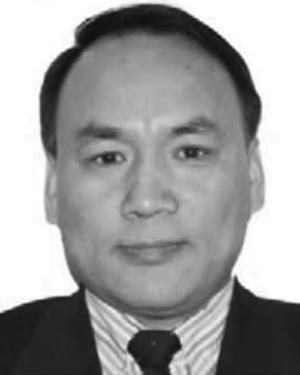 Bangliu Zhao (赵邦六)合作论文数1
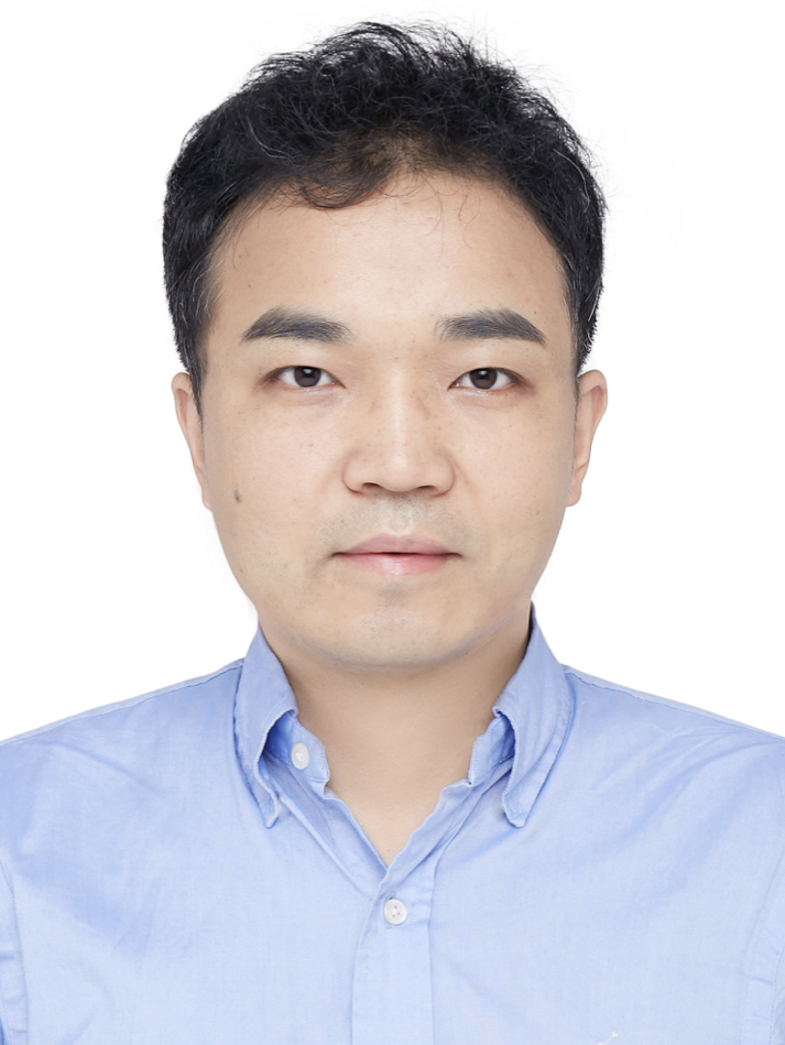 Xinming Wu (伍新明)合作论文数School of Earth and Space Sciences, University of Science and Technology of China1
 Jianhu Gao (高建虎)合作论文数Northwest Branch, Research Institute of Petroleum Exploration and Development1
 Tangyan Liu (刘堂晏)合作论文数School of Ocean and Earth Science, Tongji University1
 Haishan Li合作论文数1
 Guangmin Hu (胡光岷)合作论文数School of Resources and Environment, University of Electronic Science and Technology of China1




