Advancements in 3D data acquisition technologies have significantly increased the availability of point clouds (PCs) in urban areas, leading to a growing demand for the accurate and efficient construction of urban models at various levels of geometric and semantic detail. Numerous methods have been developed to address this problem in computer vision, photogrammetry, remote sensing and computer graphics, often tailored to specific applications. In this context, the proposed survey focuses on approaches that generate 3D urban models starting from city PCs produced by various acquisition devices. The strategies used to create 3D models are grouped according to whether they use templates, basic surface primitives, hybrid approaches or the identification of linear primitives (such as edges and contours). We analyse the different processes applied to the input PC and the type of output representation created, with more details on the reconstruction of buildings, as these are key urban objects in most of the techniques proposed in the literature which are crucial to test and train the developed methods.
The estimation of visual complexity in 3D remains a relatively under-studied problem. An aspect of this deficiency is due to the lack of suitable publicly available benchmarks. In this work, three datasets are used to investigate this problem from different angles: (1) a subset of the ABC dataset of CAD shapes, augmented with perceived visual complexity rankings; (2) an existing primate tooth dataset, with complexity rankings derived from established domain attributes; and (3) a novel dataset of fractal shapes with perceived visual complexity rankings. Ground truth rankings for (1) and (3) were derived from human judgments obtained from two studies in which lay individuals performed two-alternative forced-choice comparisons between pairs of shapes. We then invited researchers to submit results for algorithms designed to model shape complexity. We find that most methods that operate directly in 3D yield low, positive correlations; whereas—despite working on 2D projections derived from the original geometry—the best results were obtained by a subset of 2D methods.
We present an optimization procedure for generic polygonal or polyhedral meshes, tailored for the Virtual Element Method (VEM). Once the local quality of the mesh elements is analyzed through a quality indicator specific to the VEM, groups of elements are agglomerated to optimize the global mesh quality. A user-set parameter regulates the percentage of mesh elements, and consequently of faces, edges, and vertices, to be removed. This significantly reduces the total number of degrees of freedom associated with a discrete problem defined over the mesh with the VEM, particularly for high-order formulations. We show how the VEM convergence rate is preserved in the optimized meshes, and the approximation errors are comparable with those obtained with the original ones. We observe that the optimization has a regularization effect over low-quality meshes, removing the most pathological elements. In such cases, these "badly-shaped" elements yield a system matrix with very large condition number, which may cause the VEM to diverge, while the optimized meshes lead to convergence. We conclude by showing how the optimization of a real CAD model can be used effectively in the simulation of a time-dependent problem.
The digital twin (DT) paradigm provides a purpose-built digital representation of a physical system. DTs are often composed by several interconnected models, which need to be specifically tailored to fit the DT purposes. The objective of this work is the development of an urban digital twin (UDT) for the city of Matera, following urban intelligence (UI) paradigm. The latter leverages the multi-disciplinary integration and optimization of the city systems and subsystems to develop purpose-driven DTs and support the decision-making process. The UDT is intended to support governance, stakeholders, and citizens, integrating morphological data for the city representation, reliable simulation tools and data-driven methods for the city state prediction (e.g., traffic, solar irradiation), optimization algorithms for planning and emergency response, sensors for vehicle and pedestrian traffic volumes and environmental monitoring (e.g., pollutant distributions), and a participatory data collection process from the citizens. A Data Lake is used to make available to the UDT modules the data produced by the morphological representation, simulations/data-driven methods, sensors, and the participatory data. The Data Lake provides a standardized approach for the aggregation and extraction of information. Finally, an Urban Sensing Engine supports the decision-making process with artificial intelligence forms of reasoning, to effectively combine the information produced by the UDT components.
This course offers a dive into the concept of mesh quality in the context of and in relation to numerical methods for simulation problems, techniques that are at the heart of a variety of computer graphics tasks. It is targeted to graduate students, researchers, and practitioners interested in mesh processing and generation oriented to numerical simulations with the Virtual Element Method (VEM), who want to learn how to assess and optimize the quality of any kind of polytopal mesh and are willing to explore the potentialities of the VEM in Computer Graphics. It is assumed that the reader has basic mathematical and geometrical notions and is familiar with mesh processing and geometry processing, i.e. knows what a mesh is and how to manipulate it. Some knowledge about numerical analysis is also required, in particular on the Finite Element Method.
We propose a quality-based optimization strategy to reduce the total number of degrees of freedom associated with a discrete problem defined over a polygonal tessellation with the Virtual Element Method. The presented Quality Agglomeration algorithm relies only on the geometrical properties of the problem polygonal mesh, agglomerating groups of neighboring elements. We test this approach in the context of fractured porous media, in which the generation of a global conforming mesh on a Discrete Fracture Network leads to a considerable number of unknowns, due to the presence of highly complex geometries (e.g. thin triangles, large angles, small edges) and the significant size of the computational domains. We show the efficiency and the robustness of our approach, applied independently on each fracture for different network configurations, exploiting the flexibility of the Virtual Element Method in handling general polygonal elements.
Purpose This work proposes 3D modelling and patient-specific analysis of the spine by integrating information on the tissues with geometric information on the spine morphology. Methods The paper addresses the extraction of 3D patient-specific models of each vertebra and the intervertebral space from 3D CT images, the segmentation of each vertebra in its three functional regions, and the analysis of the tissue condition in the functional regions based on geometrical parameters. Results Main results are the localisation, visualisation, quantitative, and qualitative analysis of possible damages for surgery planning and early diagnosis or follow-up studies. Conclusions The framework properties are discussed in terms of the spine’s morphology and pathologies on the spine district’s benchmarks.
We analyze the joint efforts made by the geometry processing and the numerical analysis communities in the last decades to define and measure the concept of "mesh quality". Researchers have been striving to determine how, and how much, the accuracy of a numerical simulation or a scientific computation (e.g., rendering, printing, modeling operations) depends on the particular mesh adopted to model the problem, and which geometrical features of the mesh most influence the result. The goal was to produce a mesh with good geometrical properties and the lowest possible number of elements, able to produce results in a target range of accuracy. We overview the most common quality indicators, measures, or metrics that are currently used to evaluate the goodness of a discretization and drive mesh generation or mesh coarsening/refinement processes. We analyze a number of local and global indicators, defined over two- and three-dimensional meshes with any type of elements, distinguishing between simplicial, quadrangular/hexahedral, and generic polytopal elements. We also discuss mesh optimization algorithms based on the above indicators and report common libraries for mesh analysis and quality-driven mesh optimization.
Thanks to continuous efforts towards 3D digitisation in the Cultural Heritage (CH) domain, we have experienced increasing interest in mathematical methods and computer graphics tools that can concretely support archaeological research and extend curatorial systems, so that the potential of digital data can be exploited beyond the mere rendering and visualisation of artefacts. This trend calls for robust and supportive methods for the analysis, characterisation and documentation of digital artefacts. Many are the applications that can assist the work of the professionals in the field of artistic/archaeological research, and curation: hypothesis formulation and interpretation, indexing and retrieval of content, and exploration of collections along new and dynamic dimensions. In this work, we present a variety of computational approaches tailored to CH applications, and archaeology especially, tested in real use cases by practitioners of the field, spanning from shape analysis to indexing of 3D assets.
This work addresses the patient-specific characterisation of the morphology and pathologies of muscle-skeletal districts (e.g., wrist, spine) to support diagnostic activities and follow-up exams through the integration of morphological and tissue information. We propose different methods for the integration of morphological information, retrieved from the geometrical analysis of 3D surface models, with tissue information extracted from volume images. For the qualitative and quantitative validation, we will discuss the localisation of bone erosion sites on the wrists to monitor rheumatic diseases and the characterisation of the three functional regions of the spinal vertebrae to study the presence of osteoporotic fractures. The proposed approach supports the quantitative and visual evaluation of possible damages, surgery planning, and early diagnosis or follow-up studies. Finally, our analysis is general enough to be applied to different districts.
This work proposes a framework for the patient-specific characterization of the spine, which integrates information on the tissues with geometric information on the spine morphology. Key elements are the extraction of 3D patient-specific models of each vertebra and the intervertebral space from 3D CT images, the segmentation of each vertebra in its three functional regions, and the analysis of the tissue condition in the functional regions based on geometrical parameters. The localization of anomalies obtained in the results and the proposed visualization support the applicability of our tool for quantitative and visual evaluation of possible damages, for surgery planning, and early diagnosis or follow-up studies. Finally, we discuss the main properties of the proposed framework in terms of characterisation of the morphology and pathology of the spine on benchmarks of the spine district.
A urban digital twin is the virtual representation of real assets, processes, systems and subsystems of a city. It uses and integrates heterogeneous data to learn and evolve with the physical city, providing support to monitor the current status and predict/anticipate possible future scenarios. In this paper, we focus on the issues and potential related to the geometric layer of the city digital twin. On the one hand, detailed 3D data to reconstruct the urban morphology very accurately might not be available, and planning a new survey is costly in terms of money and time. On the other hand, the more the geometry adheres to the real counterpart, the more accurate measures and simulations related to the urban space will be. We describe our approach to develop the geometric layer of the digital twin of the city of Matera, in Italy, using only pre-existing public data. Specifically, our method exploits available digital elevation models from a previous regional aerial survey and integrates them with data coming from OpenStreetMap to generate an as-precise-as-possible 3D model, annotated with heterogeneous semantic information. We demonstrate the potential of the geometric layer by developing two geometric characterisation services, namely route slope extraction and light/shadow maps according to a specific date and time. In the next steps, the computed attributes will help to answer specific objectives which could be of interest for the Municipality, such as personalised optimal routes taking into account user preferences including slope and perceived environmental comfort.
This work addresses the patient-specific characterisation of the morphology and pathologies of muscle–skeletal districts (e.g., wrist, spine) to support diagnostic activities and follow-up exams through the integration of morphological and tissue information. We propose different methods for the integration of morphological information, retrieved from the geometrical analysis of 3D surface models, with tissue information extracted from volume images. For the qualitative and quantitative validation, we discuss the localisation of bone erosion sites on the wrists to monitor rheumatic diseases and the characterisation of the three functional regions of the spinal vertebrae to study the presence of osteoporotic fractures. The proposed approach supports the quantitative and visual evaluation of possible damages, surgery planning, and early diagnosis or follow-up studies. Finally, our analysis is general enough to be applied to different districts.
The creation of 3D models of heritage and architectural sites requires proper technologies able to capture a wide area at fine geometric and appearance detail. In this paper we address the acquisition and digitization of three challenging Points of Interest in Matera, Italy. The sites, both outdoor and indoor, are characterised by limited accessibility, complex morphology and poor lighting conditions. We describe our experience with a portable, lightweight laser scanner, describing the planning, acquisition and post-processing phases, and providing some lessons learnt in order to achieve good results in terms of quality and resolution.
For rheumatic diseases, it is fundamental to achieve an efficient medical evaluation of the patient's status and monitor the development of pathology. Acquiring and analyzing information on the pathology progression are important steps to customize the therapy and slow the disease's degeneration. This paper focuses on the localization of bone erosion sites, which are a typical symptom of rheumatic disease progression, from both morphological and tissue perspectives. To this end, we propose a geometry-based approach, which performs a geometric analysis of 3D segmented surfaces, and a texture-based approach, which analyses changes in the grey levels in a neighbour of the bone surface. These two approaches are integrated to define a more complete tool for the analysis and visualization of the input anatomical structures and the underlying pathology. The performances of the different methods are evaluated on the wrist district, acquired by a low-field magnetic resonance scanner.
Partial differential equations can be solved on general polygonal and polyhedral meshes, through Polytopal Element Methods (PEMs). Unfortunately, the relation between geometry and analysis is still unknown and subject to ongoing research in order to identify weaker shape-regularity criteria under which PEMs can reliably work. We propose PEMesh, a graphical framework to support the analysis of the relation between the geometric properties of polygonal meshes and the numerical performances of PEM solvers. PEMesh allows the design of polygonal meshes that increasingly stress some geometric properties, by exploiting any external PEM solver, and supports the study of the correlation between the performances of such a solver and geometric properties of the input mesh. Furthermore, it is highly modular, customisable, easy to use, and provides the possibility to export analysis results both as numerical values and graphical plots. PEMesh has a potential practical impact on ongoing and future research activities related to PEM methods, polygonal mesh generation and processing.
The geometric kernel (or simply the kernel) of a polyhedron is the set of points from which the whole polyhedron is visible. Whilst the computation of the kernel for a polygon has been largely addressed in the literature, fewer methods have been proposed for polyhedra. The most acknowledged solution for the kernel estimation is to solve a linear programming problem. On the contrary, we present a geometric approach that extends our previous method, optimizes it anticipating all calculations in a pre-processing step and introduces the use of geometric exact predicates. Experimental results show that our method is more efficient than the algebraic approach on generic tessellations and in detecting if a polyhedron is not star-shaped. Details on the technical implementation and discussions on pros and cons of the method are also provided.
 Bianca Falcidieno合作论文数Department of Genova, National Institute of Applied Mathematics and Information Technology, National Research Council107
 Silvia Biasotti合作论文数Istituto di Matematica Applicata e Tecnologie Informatiche "E. Magenes", CNR, Italy76
 Giuseppe Patané合作论文数CNR-IMATI71
 Michela Mortara合作论文数IMATI-CNR42
 Daniela Giorgi合作论文数IMATI-CNR30
 Marco Attene合作论文数CNR - IMATI24Chiara Eva Catalano合作论文数CNR IMATI-Genova23
 Ioannis Pratikakis合作论文数Visual Computing Group, Department of Electrical and Computer Engineering, Democritus University of Thrace15
 Daniela Cabiddu合作论文数Computer Science, Universita degli Studi Di Cagliari14
 R.C. (Remco) Veltkamp合作论文数Department of Game and Media Technology, Faculty of Science, Utrecht University14
 Francesco Robbiano合作论文数CNR IMATI-Genova12
 Simone Marini合作论文数Institute of Marine Science Ismar, Italian National Research Council12
 Imon Banerjee合作论文数12
 Andrea Cerri合作论文数CNR -- IMATI, Genova11Martina Paccini合作论文数Ist Matemat Applicata & Tecnol Informat E Magenes, CNR10
 Andreas Scalas合作论文数Ist Matemat Applicata & Tecnol Informat Enr Magen, CNR10
 Simone Pittaluga合作论文数IMATI-CNR9
 Tommaso Sorgente合作论文数Istituto di Matematica Applicata e Tecnologie InformaticheConsiglio Nazionale delle RicercheGenovaItaly9
 Asan Agibetov合作论文数CNR IMATI, Via De Marini 6, Genoa, Italy8
 Andrea Clematis合作论文数8
 Franca Giannini合作论文数IMATI, Consiglio Nazionale delle Ricerche7Corrado Pizzi合作论文数6
 Giovanni Gallo合作论文数Image Processing Laboratory, University of Catania6Laurent Moccozet合作论文数Universite de Geneve, Suisse6
 Jaroslaw R. Rossignac合作论文数College of Computing;Interactive and Intelligent Division ;Georgia Tech6
 Sorin Hermon合作论文数The Cyprus Institute6
 Marios Pitikakis合作论文数centre for research and technology-thessal ..., university of thessaly5
 Marco Livesu合作论文数Istituto di Matematica Applicata e Tecnologie Informatiche, Consiglio Nazionale delle Ricerche5
 Afzal Godil合作论文数Visualization and Usability Group, National Institute of Standards and Technology5Andrea Coda合作论文数5Tor Dokken合作论文数SINTEF ICT Applied Mathematics P.O. Box 124 Blindern NO-0314 Oslo Norway5
 Laura Papaleo合作论文数Rensselaer Polytechnic Institute;Metropolitan City of Genova5S Marini合作论文数4S Spinello合作论文数4T. Theoharis合作论文数4d sobrero合作论文数4
 Elia Moscoso Thompson合作论文数Istituto di Matematica Applicata e Tecnologie Informatiche ‘E. Magenes’ - CNR, Italy4
 Valentina Vassallo合作论文数Sci. & Technol. in Archaeology Res. Center (STARC),, Cyprus Inst.;c;Sci. & Technol. in Archaeology Res. Center (STARC),, Cyprus Inst.4Theoharis Theoharis合作论文数4
 Luc Van Gool合作论文数Computer Vision Lab, Department of Information Technology and Electrical Engineering, ETH Zurich;Institute for Computer Science, Artificial Intelligence and Technology4
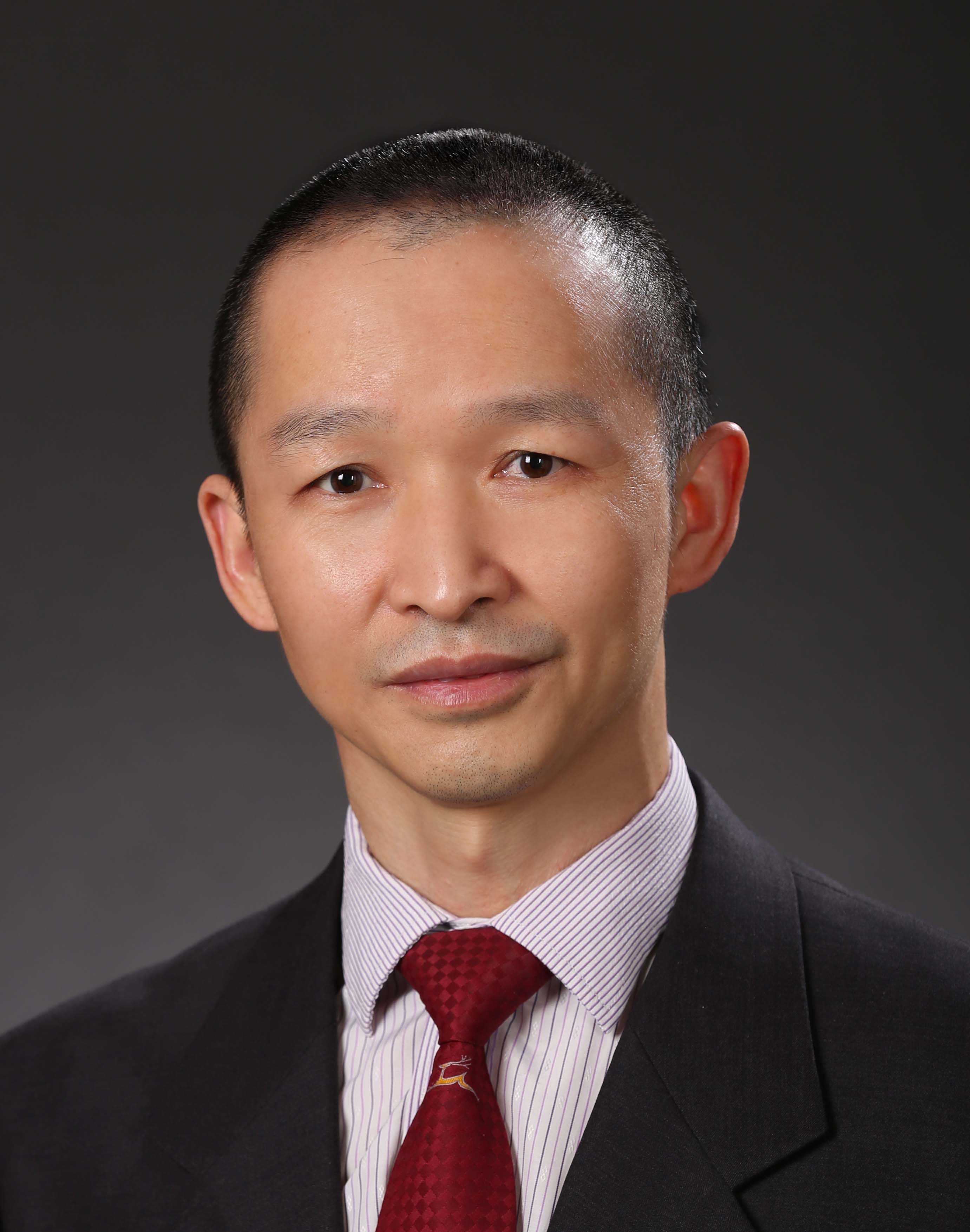 Jun-Hai Yong (雍俊海)合作论文数School of Software, Tsinghua University4
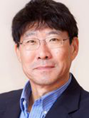 Wenping Wang合作论文数Department of Computer Science & Engineering, College of Engineering, Texas A&M University4
 Tobias Schreck合作论文数Institute of Visual Computing, Graz University of Technology4
 Michael Bronstein合作论文数Department of Computer Science, University of Oxford;AITHYRA Research Institute for Biomedical Artificial Intelligence4Silvia Bertoluzza合作论文数Istituto di Matematica Applicata e Tecnologie Informatiche del C.N.R., v. Ferrata 1, 27100, Pavia, Italy4
 Maks Ovsjanikov合作论文数Laboratoire d'Informatique, Ecole Polytechnique;Computer Science Department, Ecole Polytechnique4
 Vibeke Skytt合作论文数4
 Nadia Thalmann合作论文数MIRALaboratory, University of Geneva4




