A novel Mesh optical interconnection board configuration in free-space is considered in this paper. Based on Mesh optical interconnection topology principle, this design is specially designed for integrated chip interconnection on high performance occasion as tiny satellites. The system uses VCSELs as electronic-to-optics converter modules to implement conversion between electronic signals and optical ones. Then optical signals, which have better anti-interference than electronic signals, propagate in free-space in a robust way. And at the interconnected chip side, which could only process electronic signals, optical signals are needed to be converted by PIN arrays into electronic ones. All interconnections are skillfully finished by certain cube prisms and inclined 45 degrees reflecting mirrors and limited on the optical-waveguide layer inserted in a PCB board. This paper emphasizes on the configuration of an interconnecting unit (considered as a processing element) and its connecting manner. The design aims at light-weight, small-bulk, great anti-interference, advantages at better robustness, lager throughput, especially suitable for data switch, data propagation and IC interconnection on the tiny satellite.
With the appearance of the realistic structure model in the quantitative remote sensing research on the vegetation, the visualization of the structure of the vegetation has become an important aspect of the realistic structure model. In the process of the research on the realistic structure model, a 3-demensional visual data model is developed to construct the structure of the vegetation. The data model is based on the object-oriented approach and builds the geometric and logical relation among the objects through the object-combining, which is used to simulate successfully the scene of the winter wheat. The data model aims at providing the geometric and optical parameters for the RGM model and improving the accuracy of calculation of radiation of vegetation.
采用冬小麦主要生育期内冠层反照率的地面观测数据和MODIS反照率产品数据,分析了在冬小麦生长期时间序列上MODIS遥感图像端元反照率与地面观测不同空间尺度反照率的变化规律。提出了基于高空间分辨率图像分类的先验知识提取MODIS端元反照率的方法。研究结果表明,MODIS端元反照率与地面观测反照率随冬小麦生育期的变化趋势相同,两种观测尺度反照率的观测值差别小于4%,研究方法为MODIS反照率产品在大面积农田研究中的应用提供了参考。
With the support of GIS information, a process-based crop growth model is designed to estimate the spatial pattern of dry matter accumulation, seed yield and evapotranspiration of winter wheat in the Hebei Plain, from October, 1989 to June, 1990. The crop leaf area index in the model is retrieved from NOAA-AVHRR monthly maximum composite NDVI and the daily meteorological variables are scaled up with gradient inverse distance square method. The simulated domain ranges from 113°E to 118°E and 36°N to 41°N with an area of about 60,000 km 2. The grid resolution is 1 km 2 and time step is daily in this paper. The model was tested with field sampled dry matter data of five varieties and the district statistical economic yields. The absolute bias between the simulated and the statistical yields is about 12% in the domain. The simulated results show that the high yields are located in Baoding, Shijiazhuang, the central part of Xingtai and the eastern part of Handan districts from North to South with values of 6000 to 8400 kg hm -2. The low yields are shown at the eastern part of Langfang, Cangzhou, Hengshui and the eastern part of Xingtai with values lower than 3000 kg hm -2. Compared with the simulated potential yield, it is found that the differences between actual yields and potential yields are significant in this region, of which 72% shows a yield gap as large as 5000 kg hm -2. The simulated amounts of evapotranspiration over the growing season are from 310 to 500 mm, and the water use efficiency (WUE) in the irrigated fields is about 10 to 17 kg ha -2 mm -1. Low WUE area (8 kg hm -2mm -1) occupies 42% of the whole area. The spatial pattern of WUE is similar to that of yield. As suggestion, some water conservancy techniques should be taken to increase the water use efficiency in this area, such as stalk cover, new irrigation projects,etc.
试验观测不同水分处理冬小麦田能量平衡各分量、反射率和CO2通量日变化及日际变化特征结果表明,小麦拔节期麦田地表反射率平均值约为0.18,不同水分处理农田潜热通量和显热通量均有明显差异,晴朗天气冬小麦冠层顶部CO2通量日变化呈抛物线形,麦田主要表现为CO2的汇.
作物生长模型的构建有利于既有科研成果的综合集成,也是作物种植管理决策现代化的基础,还是辅助决策的有力工具.本文以荷兰Wageningen,美国DSSAT,澳大利亚APSIM和中国CCSODS等作物生长模型研究流派为例,回顾了作物生长模型的发展历程,论述了作物生长模型的主要功用,并指出了在模型研究和开发应用中存在的问题.
The objective of this paper was to determine hyperspectral narrow wavebands that are best suited for estimating rice biophysical characteristics. The paper studied the variational process of leaf area index (LAI), leaf chlorophyll density (CH.D) and hyperspectral data during the period of rice growing season. Correlation between hyperspectral data and LAI, CH.D of rice was analyzed. Spectral derivatives technique was used to suppress the effects of low frequency spectral noises on background. Stepwise regression method was used to create multivariate linear equations for predicting LAI and CH.D of rice with the data of reflectance and the first-order derivatives of reflectance as forecast factors. Results show that: 1) The first order derivatives of reflectance spectrum can enhance the correlation and improve the precision of predicting LAI and CH.D; 2) The first order derivatives of reflectance and CH.D more markedly correlate than LAI at some wavelength, CH.D is more available to express crop canopy spectrum information than leaf area index.
以玉米多品种多年试验资料,研究了反映区域叶面积指数(LAI)动态变化的模拟模型,该模型以积温指标表示的生育阶段为自变量,综合不同地理位置、品种、播期、密度等的影响,是一个扩展的Logistic叶面积生长模型,经检验可很好地模拟不同生育阶段叶面积指数动态变化,可用于区域作物生长模拟模型和区域作物生长监测及遥感估产.
本文在几何图形法、参数法和直接测量法的基础上, 利用实测数据和数字图像数据建立了计算LAI, LAD的数字图像方法, 并对此方法进行了验证. 这种方法与传统计算LAI、 LAD的方法相比, 可以对植株进行无破坏的连续观测, 一次完成LAI、 LAD的计算, 提高了计算效率, 减少了野外观测的工作量. 同时根据所获取的结构参数, 开展了夏玉米冠层结构的计算机模拟研究.
According to the Li-Strahler model, a BRDF model of row structure with gap, in which three components and six paths are taken into account, is established through analysis of the process of radiation transfer. The model is verified by the data obtained in the Satellite-Airborne-Ground Synchronous Quantitative Remote Sensing Experiment implemented from March 29 to May 10 in 2001, in Shunyi, Beijing, China. As is shown, the model can demonstrate effectively the reflection of crops with row structure.
The main problem in the validation is that the field-measured albedo is different in scale from the albedo estimated using remote sensing data. The albedo-meter based field measurement is over a small area. On the contrary, the spatial resolution of the MODIS albedo production is about 1 km. Another problem is the different wavebands or albedo-meter and MODIS sensor. As a solution, we suggest to use the field multiangular measurements data that is captured in a small field of view (FOV) to retrieve the albedo by Ambrals model inversion. As a result, the retrieved albedo is comparable with that measured by albedo-meter since they have the same scale. At the same time, the effect of wavebands difference is also corrected. In the second step, we extend this method to the airborne MARS observations of the same target. Scaling-up can be considered based on the two inverted albedos. The retrieved albedo from airborne data can be validated using field measurement too. Finally, the airborne retrieved albedo can be used to validate the MODIS albedo production. In this framework, the field measured data sets come from a large satellite-airborne-ground synchronous experiment that was taken in Shunyi, which is in the north of Beijing, in April of 2001.
Recently, more and more multiangular sensors have been launched into the space. These multiangular remote sensing observations can provide more directional information of land surface objectives than only nadir observation. To well model the directional observations in visible and near infrared (VNIR) band, bi-directional reflectance distribution function (BRDF) is much useful according to its characteristic. In this paper, we developed a geometric-optical and gap probability model to model the BRDF observations of crop while crop in the beginning of its life. This model validated by the field data of summer corn taking in 2000 in Luancheng, Hebei Province. The results show: this model can simulate the BRDF well, and it is simple to use for the horizontal homogeneous crop considering the change of leaf area index (LAI), leaf angle distribution (LAD) etc. The ultimate aim of the quantitative remote sensing is inversion. Although multiangular remote sensing observations can provide more directional information, the inversion is still difficult due to noise, ill-posed problems, etc. In this paper, we use the multi-stage, sample-direction dependent, target-decisions (MSDT) inversion strategy and above model to inverse, study how to use the prior knowledge, improve sign-noise ratio in inversion and how to divide the datasets and parameters during inversion process. The model and the methods we studied in this paper maybe an initial trial and need further study
叶绿素是农作物生长中重要的因素.叶绿素含量既表明作物生长的状况,又表征了作物的生产能力.而叶绿素密度(单位面积农作物的叶绿素含量)是估计农作物群体生产力的重要指标.对早播稻、晚播稻和玉米的多时相的群体光谱测量数据和相应的叶片叶绿素密度的测量数据进行了相关分析,结果表明早播稻、晚播稻和玉米的群体光谱的反射率数据以及其导数光谱数据与叶绿素密度具有很好的相关性,并且可以对这几种农作物建立统一的线性回归关系.利用这几种农作物的导数光谱在近红外波段762nm处与叶绿素密度的高相关性,选取样本建立了回归方程.并利用其余样本对估计方程进行检验,结果表明估计的标准偏差为0.272g/m+2,估计精度约为80.6%.
基于局地热平衡和比辐射率不随温度变化两个前提,提出了非同温混合像元热辐射组分有效比辐射率的概念,得到了由组分有效比辐射率构成的非同温混合像元热辐射方向性模型. 研究表明,组分有效比辐射率只与组分的光学特性、几何结构有关,与组分温度无关. 组分温度只改变组分辐射亮度值在体系总辐射亮度中的比例. 像元的总有效比辐射率与其方向-半球反射率的和恒等于1. 经用Monte Carlo方法对离散圆锥体和连续的冬小麦两种代表性目标的组分有效比辐射率模拟,由此计算得到目标的辐射亮度值与室内外实验观测结果吻合得很好.
The penetration,interception,reflectance and extinction coefficient of radiation of summer maize canopy are analyzed.The penetration,reflectance and extinction coefficient all show an obvious diurnal variation under clear sky;there are rema rkable changes for interception and penetration before and after flowering.The d aily reflectance decreases along with crop growing period,which is as high as 0. 23 at the initial stage and equal to 0.14 at the last growing stage.Over the who le growing period,the average is about 0.19.The canopy extinction coefficients f or incident short and net radiation are 0.51 and 0.41,respectively.A concept of bulk extinction coefficient is firstly introduced,which may be easily used to ca lculate the absorbed radiation by canopy.The variation of bulk extinction coeffi cient is more stable than that of the traditional extinction coefficient,on aver age,the bulk extinction coefficient is about 0.26.
åºäºæ å å±çç»æç¹å¾ï¼ä»æ¹åé´éçå®ä¹äºå å±ä¸ä¸å空é´ä½ç½®å¯¹å¤©ç©ºæ£å°å ¥ç §çå¼æ¾åº¦åå ¶å¨å å±ä¸çåå¸ï¼å»ºç«äºå ¥å°è¾å°å¨å å±ä¸çè¡°åä¸ä¼ è¾æ¨¡åãåºç¨å¯¹å å±ç»æãæ»å ¥å°è¾å°ãè¾å°å¨å å±ä¸è¡°åççéå¤è§æµæ°æ®ï¼å¯¹æ¨¡åè¿è¡äºéªè¯ã模åæåå°è§£éäºå å¨æ å å±ä¸è¾å°ä¼ è¾çååè§å¾ã
In our Geometric-Optical BRDF modeling study for forest canopy, we notice that the reflectance signature of sunlit crown is not uniform, a sub-model for modeling its feature is needed to evaluate the contribution of this component to the BRDF of surface. To modeling the effect of canopy structure on the radiation transmittance and reflectance within canopy, Li's path-scattering model for homogeneous layers is applied to calculate the transmittance in different layers within crown. In the positions where the foliage volume density are lower, such as near the surface of crown, the contribution of incident radiation is modeled by the openness distribution within tree crown! based on our directional gap probability model. For the model validation, field measurement was made in an apple orchard. The geometric size and foliage area volume density (FAVD) distribution of tree crowns were measured indirectly. The solar radiation, diffused skylight, hemispherical radiation at the given test points within and below the crowns were measured. The model, measurements and validation result are presented in this paper, which show that the transmitted and reflected radiation is closely related to the architecture of crown and the geometry of the test site.
As the growth cycling of crops is usually shorter than the one of forest. The change of status of crop growth was pronounced and quickly with development stages. Therefore it is useful to know the change of the features of crop growth during growth cycling in hyperspectral remote sensing. The reflected spectra of canopies of five crops, early rice, later rice, summer maize, cotton and soybean were measured with SE590 spectrometer from June to September 1997, in Beijing. The features of first-order derivatives of canopy reflectance for each of the five crops are changed regularly with the phenological evolution. The possibilities of identification of crop types with the features of red edge are discussed.
 Jindi Wang (王锦地)合作论文数Faculty of Geographical Science, Beijing Normal University9
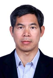 Xingguo Mo (莫兴国)合作论文数Institute of Geographic Sciences and Natural Resources Research, Chinese Academy of Sciences;University of Chinese Academy of Sciences5
 MenXin Wu (吴门新)合作论文数3
 Qingxi Tong (童庆禧)合作论文数Aerospace Information Research Institute, Chinese Academy of Sciences;University of Chinese Academy of Sciences3
 Lanfen Zheng合作论文数3
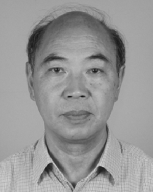 Qijiang Zhu合作论文数3yunhua zhou (周允华)合作论文数2
 Zhonghui Lin (林忠辉)合作论文数College of Chemistry, Fuzhou University2
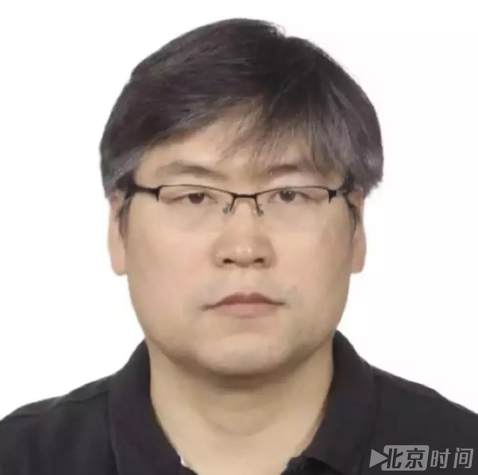 Shihao Tang (唐世浩)合作论文数国家卫星气象中心2
 Changshan Wu (吴长山)合作论文数Department of Geography, University of Wisconsin-Milwaukee2
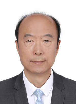 Weidong Liu (刘卫东)合作论文数Institute of Geographic Sciences and Natural Resources Research, Chinese Academy of Science;University of Chinese Academy of Science2
 Wenhan Qin合作论文数2QIN Wen-han (覃文汉)合作论文数1zhu zhihui (志辉 朱)合作论文数1Xiaoyu Zhang合作论文数1Mingcui Cao合作论文数1Liou Xie (谢里欧)合作论文数1Liu Wei-dong (刘伟东)合作论文数1Ping Huang合作论文数1DaKang Zuo (左大康)合作论文数1LiHong Su (苏理宏)合作论文数1JiaLi Zhuang (庄家礼)合作论文数1XiaoDong Zhou (周晓东)合作论文数1
 Liangfu Chen (陈良富)合作论文数State Key Laboratory of Remote Sensing and Digital Earth, Aerospace Information Research Institute, Chinese Academy of Sciences;University of Chinese Academy of Sciences1
 Fengguang Luo (罗风光)合作论文数School of Optical and Electronic Information, Huazhong University of Science and Technology1
 Ling Wang (王玲)合作论文数College of Animal Science and Technology, Southwest University1
 Zheng Niu (牛铮)合作论文数Chinese Academy of Sciences;University of Chinese Academy of Sciences1
 Guangjian Yan (阎广建)合作论文数State Key Laboratory of Remote Sensing and Digital Earth, Faculty of Geographical Science, Beijing Normal University1
 Lingmei Jiang (蒋玲梅)合作论文数Faculty of Geographical Science, Beijing Normal University;State Key Laboratory of Remote Sensing and Digital Earth, Beijing Normal University1
 Dan Chen (陈丹)合作论文数School of Atmospheric Sciences, Nanjing University of Information Science & Technology1
 Bing Zhang (张兵)合作论文数Institute of Remote Sensing and Digital Earth, Chinese Academy of Sciences;Aerospace Information Research Institute, Chinese Academy of Sciences;University of Chinese Academy of Sciences1
 Hua Yang (杨华)合作论文数College of Forestrt, Beijing Forestrty University1
 Xiaowen Li (李晓文)合作论文数School of Environment, Beijing Normal University1
 Jun Li (李俊)合作论文数Institute of Geographic Sciences and Natural Resources Research, Chinese Academy of Sciences1
 Yongqiang Zhang (张永强)合作论文数Institute of Geographic Sciences and Natural Resources Research, Chinese Academy of Sciences1
 Jiangui Liu合作论文数Agriculture and Agri-Food Canada1
 Huawei Wan (万华伟)合作论文数1
 Yanmin Shuai合作论文数ERT Inc. at the Biospheric Sciences Laboratory, NASA's Goddard Space Flight Center1
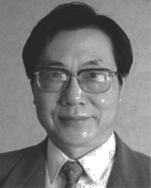 Renhua Zhang (张仁华)合作论文数1
 Suxia Liu (刘素侠)合作论文数Key Laboratory of Infection and Immunity of Shandong Province, Department of Immunology, School of Basic Medical Sciences, Shandong University1
 Ziti Jiao (焦子锑)合作论文数Faculty of Geographical Science, Beijing Normal University1
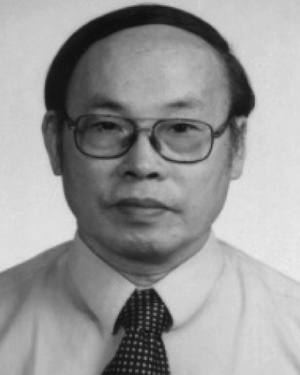 Xiru Xu合作论文数1
 Donghui Xie (谢东辉)合作论文数Faculty of Geographical Science, Beijing Normal University1




