Keeping pets can help people regulate their emotions, engage in physical activity, and cultivate friendships, all of which contribute to enhancing their overall quality of life. Based on a survey, pets are often left alone at home for an average of 8 hours, as their owners typically depart early and return late. Nonetheless, the current pet feeding systems available on the market exhibit issues like a restricted field of view, unreliable network connections, sluggish pet recognition speed, and subpar accuracy. In this paper, we introduce a more intelligent and efficient pet feeding system. This system leverages the fast and compact ResNet18 model and utilizes Jetson Nano and STM32F407ZGT6 chips to achieve pet image acquisition and species recognition functionalities. We employ the MQTT protocol to enable the uploading of environmental data and have designed a user-side webpage for convenient remote monitoring and timely checking of the pet’s status. Furthermore, we implement an end-to-end interaction design, allowing users to remotely and flexibly adjust factors such as the amount of pet feeding, environmental temperature, humidity, and other related information. Lastly, we conducted real-world deployment and testing of the system in various households, achieving a remarkable pet recognition accuracy of 98.65%. This system effectively fulfills the requirements for a scientific, automated, and efficient approach to pet care in daily life.
针对特征空间中各类海面目标特征混叠严重和高分辨距离像(high resolution range profile,HRRP)的角度特征利用率低的问题,提出了 一种基于角域特征粒子群优化(particle swarm optimization,PSO)的海面 目标HRRP识别方法.该方法引入HRRP的角度信息优化特征空间,增加特征空间的整体可分性;利用 自适应分帧算法对特征空间进行角域划分,增加特征空间的局部可分性,并利用PSO算法确定特征空间角域划分时最优的单帧最小样本数目,增强方法的鲁棒性与适用性.实验结果表明,通过将特征空间优化和区域划分进行结合,可以有效提升多类海面目标的分类识别性能,PSO算法可以有效增强方法的抗误差性和抗噪鲁棒性.
针对重装空投过程中货台出舱、下降时各阶段的状态进行分析,考虑风力、风速、飞机进入方向、气象条件等因素对空投过程的影响,基于牛顿第二定律对货台下降阶段建立微分方程组数学模型.对空投体下落轨迹落点与风向、风力等因素之间的关系展开研究,基于BP神经网络和粒子群算法,求解出风向、风力范围队实际落点范围的影响,为提高"三无空投"落点精度提供参考.
The dark channel prior dehazing algorithm can clear the foggy images to different degrees. However, the algorithm still has some deficiencies, such as the halo phenomenon at the edge of the image in the area of sudden change in depth of field; inaccurate estimation of transmittance, resulting in color shift in the image; inaccurate estimation of atmospheric light value, resulting in darker images after defogging, etc. Therefore, it is necessary to improve the dark channel prior algorithm. This paper improves the dehazing algorithm on the basis of in-depth study of the dark channel prior algorithm, and proposes a new dehazing algorithm based on the atmospheric scattering model. The simulation results show that the improved algorithm in this paper can effectively suppress the halo and color distortion in the abrupt depth of field area, and the obtained defogged image has rich detail information, clearer image, and moderate brightness. The algorithm has improved in objective parameters such as average gradient, structural similarity, peak signal-to-noise ratio and information entropy.
针对现有小样本高分辨距离像(high resolution range profile,HRRP)元学习识别方法难以适应任务经验差异的问题,提出了基于损失加权修正的舰船目标元学习识别方法.该方法以元学习理论为基础,设计了基础学习器与元学习器相结合的预训练模型.由于不同的特性损失可反映出学习经验的差异程度,故基于任务损失值对元学习器的损失函数进行加权处理,以减轻不同任务的偏差影响.然后,利用预训练模型对仿真数据的学习经验,在小样本测试任务集上进行舰船目标实测HRRP的分类识别.实验结果表明,所提方法与对比模型相比,可在小样本条件下获得更佳的识别效果,具备良好的小样本分类识别能力.
This paper releases a rotated SAR ship detection dataset, named Rotated Ship Detection Dataset in SAR Images (RSDD-SAR), to address the problem that the existing rotated SAR ship detection datasets are not enough to meet the requirements of algorithm development and practical application. This dataset consists of 84 scenes of GF-3 data slices, 41 scenes of TerraSAR-X data slices, and 2 scenes of large uncropped images, including 7,000 slices and 10,263 ship instances of multi-observing modes, multi-polarization modes, and multi-resolutions. This dataset is effectively annotated by automatic annotation with manual correction. Meanwhile, experiments were conducted for several popular rotated object detection algorithms in optical remote sensing images and rotated ship detection algorithms in SAR images, and the one-stage algorithm S2ANet achieved the highest average precision of 90.06%. When using this dataset, scholars can reference the experimental results, and corresponding analysis can be used. Finally, this paper conducts generalization ability testing experiments on other datasets and large uncropped images to analyze and discuss the performance of the model trained on RSDD-SAR. The experimental results show that the model trained on RSDD-SAR has decent performance and confirms the application value of this dataset. The RSDD-SAR dataset is available at https://github.com/makabakasu/ RSDD-SAR-OPEN.
Accurate and efficient 3D object detection in LiDAR point cloud is critical for autonomous driving. In this paper, we provide a solution for LiDAR-only detection which employs voxel features and a sparse convolution network. Specifically, we utilized voxel centers to encode point clouds' voxel features. Then, combining the sparse convolution method, we leveraged residual learning to design the backbone network. The detector output predicted results for multi-category and multi-object detection. Our method was evaluated on three popular and challenging datasets (KITTI, nuScence and Waymo). Experimental results demonstrated that the accuracy and speed (27.8 FPS) of our model could effectively support object detection for autonomous driving in various scenarios.
多源卫星数据融合能够综合利用多时相、多角度、多谱段、主被动等感知手段,提升遥感信息获取的准确性和稳健性.传统的多源卫星数据融合采用"卫星采集数据下传+地面融合处理"的工作方式,信息感知以及后续决策制定的时效性低.近年来,我国航天事业蓬勃发展,遥感卫星数量不断增多,载荷类型不断丰富,空间信息网络通信能力不断提升,在轨数据处理能力不断加强.发展多源卫星数据在轨智能融合技术恰逢其时,这对提升我国全球范围快速感知响应能力具有重要意义.本文分析了发展多源卫星数据在轨智能融合技术的战略意义,总结了该领域国内外发展现状,分析了关键科学技术问题,并提出了未来发展建议.
根据某型飞机测试系统的通信需求,设计并实现通信系统的硬件架构和软件架构,详细说明通信系统的实现流程,并根据需求设计通信协议传送数据.利用非ATLAS模块对ATLAS测试程序进行扩展,给出了利用非ATLAS模块进行数据校验的具体方法,保证了数据通信可靠性,对工程应用有较强的参考价值.
Space-borne synthetic aperture radar (SAR) and optical sensors are important tools for building damage detection. Fusion of SAR and optical images improves detection performance. However, when the resolutions of the two different kinds of images differ, the performance of the existing pixel-level fusion methods deteriorates significantly due to interpolation-induced distortion. To solve this problem, this paper presents a new superpixel-based belief fusion (SBBF) model for building damage detection. The superpixels on the SAR and optical images are identified by the segmentation on the pre-earthquake optical image to perform the fusion on the superpixel-level instead of the pixel-level in existing methods. Then in the fusion stage, different from the commonly used direct fusion methods that do not consider the reliability in the fusion process, a novel belief fusion method that employs a basic belief assignment (BBA) to incorporate different reliabilities of superpixels is proposed to improve the accuracy of building damage detection. For each superpixel, the BBA is assigned based on the influence of noise and resolutions. The United Nations Operational Satellite Applications Programme (UNOSAT) datasets corresponding to the 2010 Haiti earthquake and the 2011 T& x014D;hoku earthquake, are used to evaluate the performance of the proposed method. The experimental results show that the proposed method achieves significantly better performance than existing separate SAR or optical images based methods, and the existing pixel-level fusion methods.
Change detection in heterogeneous remote sensing images is crucial for disaster damage assessment. Recent methods use homogenous transformation, which transforms the heterogeneous optical and synthetic aperture radar (SAR) remote sensing images into the same feature space, to achieve change detection. Such transformations mainly operate on the low-level feature space and may corrupt the semantic content, deteriorating the performance of change detection. To solve this problem, this article presents a new homogeneous transformation model termed deep homogeneous feature fusion (DHFF) based on image style transfer (IST). Unlike the existing methods, the DHFF method segregates the semantic content and the style features in the heterogeneous images to perform homogeneous transformation. The separation of the semantic content and the style in the homogeneous transformation prevents the corruption of image semantic content, especially in the regions of change. In this way, the detection performance is improved with accurate homogeneous transformation. Furthermore, we present a new iterative IST strategy, where the cost function in each IST iteration measures and thus maximizes the feature homogeneity in additional new feature subspaces for change detection. After that, change detection is accomplished accurately on the original and the transformed images that are in the same feature space. Real remote sensing images acquired by SAR and optical satellites are utilized to evaluate the performance of the proposed method. The experiments demonstrate that the proposed DHFF method achieves significant improvement for change detection in heterogeneous optical and SAR remote sensing images in terms of both accuracy rate and Kappa index.
协同目标跟踪是无人机集群等多传感器网络的典型应用.在分布式传感器网络目标跟踪过程中,目标状态估计的一致性直接影响到跟踪有效性.针对目标跟踪过程中网络节点之间一致性迭代次数受限的问题,提出了一种基于节点通信度的信息加权一致性滤波算法,设计了用节点通信度来充分衡量传感器节点在网络中的通信拓扑状况,并构建了非对称一致性权值的选取机制,可在复杂拓扑结构网络中实现快速一致性跟踪.典型目标跟踪场景仿真验证表明,所提算法相比经典的信息加权一致性滤波算法,目标跟踪的不一致程度降低了20%以上,有效提升了分布式跟踪的一致性速度.
Due to easy access to smartphones, recent years have witnessed an increasing interest in using the mobile phone as a sensing and computation platform for vehicle steering detection. However, relatively lower accuracy of smartphone sensors than on-board diagnostic (OBD)-based systems often leads to lower accuracy. We propose an ensemble learning-based model combined with the heuristic algorithm for smartphone-based vehicle steering detection in this paper. Ensemble learning has been widely recognized for its powerful generalization capability, high accuracy, and rapid convergence. However, applying the ensemble learning approach to steering detection of the smartphone-based vehicle entails many challenges due to the limitation of smartphone storage, the constraint on power consumption, and the requirement of being real-time. To address these challenges, we propose a series of techniques to reduce the complexity of the model and energy consumption, while at the same time maintaining high detection accuracy. The performance of the proposed system has been demonstrated using a real dataset and can achieve an accuracy of 97.37%. We also conduct two case studies on real road environment in Beijing with different smartphones.
Since the width of range swath of synthetic aperture radar (SAR) is restricted by the pulse repetition frequency, conventional SAR imaging methods based on the Nyquist sampling theorem can hardly achieve the highresolution and wide-swath simultaneously. In this paper, we propose a sparsity-driven high- resolution and wide-swath SAR imaging algorithm based on Poisson disk sampling. Poisson disk sampling adopted in the azimuth direction provides the potential of a wider imaging swath. The imaging formation is then converted to a sparse reconstruction model and carried out by performing iterative shrinkage threshold algorithm. The experimental results demonstrate that the proposed method can realize high-resolution and wide-swath SAR imaging simultaneously.
>Autonomous vehicles can bring changes into ways of traveling, traffic, and even production modes [1].At present, the majority of researches [2] on autonomous vehicles are limited in perception, planning, decision-making and other calculation front,while interactive cognitive perspective is barely looked into. The interactive sector involved in self-driving is rather sophisticated [3]. However,
In modern parallel systems and distributed applications, a large number of cores work synergistically for parallel jobs. Properly dispatching tasks among CPU cores is crucial to reduce response time of jobs, which provides benefit for both system performance and energy saving. In this paper, a hybrid scheme of task scheduling and load balancing named DeMS is proposed. DeMS consists of three algorithms, including On-Demand scheduling, Querying and Migrating Task (QMT) and Staged Task Migration (STM). The On-Demand scheduling algorithm is proposed to decrease the communication overhead between a master and slaves. Slaves have an initiative state declaring mechanism and the master can find out a slave with low workload to dispatch a new task. QTM is designed to keep the workload balanced. A slave with high workload can be detected by the master which will assign the last dispatched task to another idle slave. Besides, the dependencies among tasks are considered and STM is proposed to schedule the tasks associated with each other. A job is divided into stages according to tasks׳ execution sequence and Data Shuffling is used to represent interactions between stages. Finally, a testbed is developed to evaluate DeMS and we conduct a series of experiments on 10,000 virtual slaves. Simulation results demonstrate that our proposed On-Demand scheduling algorithm can significantly reduce the response time of parallel jobs. Meanwhile, QMT and STM are effective for independent-task and dependent-task schedulings, respectively.
 You He (何友)合作论文数Ocean Institute, Northwestern Polytechnical University;Tsinghua Shenzhen International Graduate School, Tsinghua University9
 FengQin Wang (王凤芹)合作论文数8
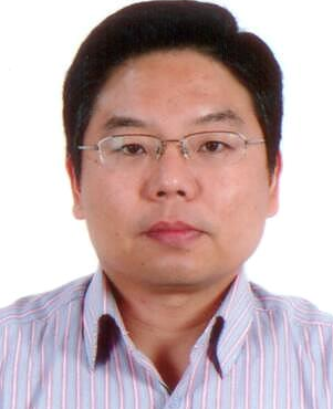 Jianwei Niu (牛建伟)合作论文数School of Aeronautic Science and Engineering, Beihang University8Xiao Yi (衣晓)合作论文数Research Institute of Information Fusion,Naval Aeronautical and Astronautical University,Yantai ,China8Mei Yang (杨玫)合作论文数7
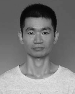 Kai Dong (董凯)合作论文数7
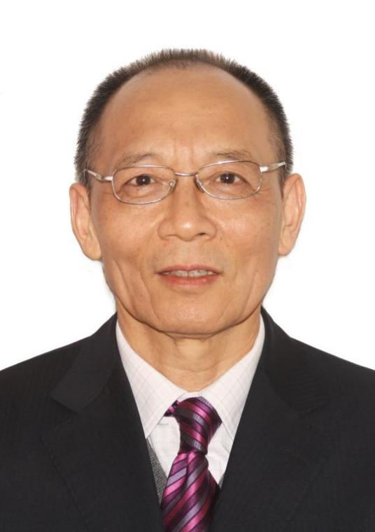 Deyi Li (李德毅)合作论文数School of Artificial Intelligence and Robotics, Hunan University;Robotics College, Beijing Union University7Bo Kong (孔波)合作论文数5Jing Du (杜晶)合作论文数5Lu Deng (邓露)合作论文数5
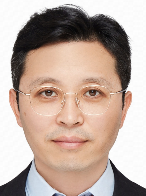 Haipeng Wang (王海鹏)合作论文数School of Information Science and Technology, Fudan University;Key Laboratory for Information Science of Electromagnetic Waves, Ministry of Education, Fudan University5Gang Li (李刚)合作论文数5Xinmin Chen合作论文数4Qi Li (李祁)合作论文数4YanHong Zhang (张燕红)合作论文数4
 Jinpeng Chen (陈晋鹏)合作论文数School of Computer Science, Beijing University of Posts and Telecommunications4
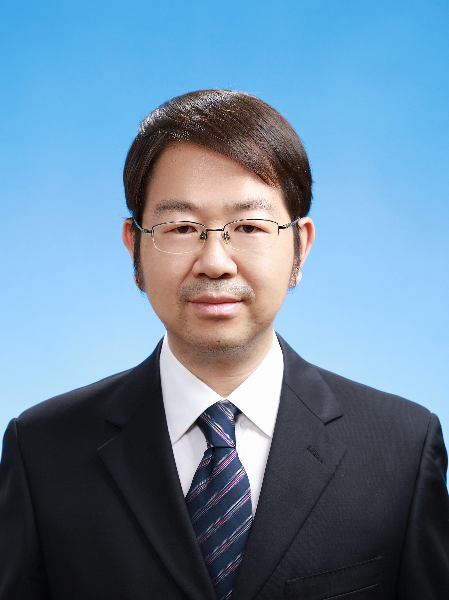 Junwei Li (李军伟)合作论文数School of Aerospace Engineering, Beijing Institute of Technology4
 Kan Xie (谢侃)合作论文数School of Aerospace Engineering, Beijing Institute of Technology4Qing-long HAN (韩庆龙)合作论文数3TianJie Guo (郭天杰)合作论文数3XiaoFeng Lv (吕晓峰)合作论文数3XiuLi Zhao (赵秀丽)合作论文数3
 Xiao-Ping (Steven) Zhang (张晓平)合作论文数Tsinghua Shenzhen International Graduate School;EidoSearch3
 Fengqin Wang (王凤勤)合作论文数School of Chemical Engineering and Technology, Tiangong University3
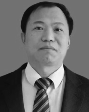 Libo Yao合作论文数2WANG Zhehao (王哲昊)合作论文数2Wang Haipeng (王海鹏)合作论文数2
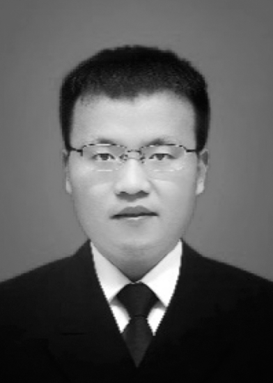 Congan Xu合作论文数2
 Zhenchao Ouyang (欧阳真超)合作论文数Hangzhou International Innovation Institute, Beihang University;Zhongfa Aviation Institute of Beihang University2QiuFeng Han (韩秋枫)合作论文数2
 Wei Xiong (熊伟)合作论文数海军航空工程学院信息融合研究所2Li Qi合作论文数2Tao Jian合作论文数2Shun Sun (孙顺)合作论文数1Ziwei Zhao合作论文数1
 Jianwei Li合作论文数1
 Ziran Ding合作论文数1Qiaowen Jiang合作论文数1Wei He合作论文数1Han Yanni合作论文数1Shizhong Yang (杨士中)合作论文数1Fan Huang合作论文数1MENG Hai-cui (孟海翠)合作论文数1Bing Wang合作论文数Alibaba Group1
 Long Gao (高隆)合作论文数Xidian University1Changjie Zhang合作论文数1
 Xiaoyu Yang合作论文数1Yue-ping HUANG (黄越平)合作论文数1




