The constant-offset seismic reflection method has been extensively utilized in geotechnical investigations due to its high acquisition efficiency and streamlined data processing workflows. Driven by the accelerating development of urban underground space, there is a growing demand to refine its application in complex, noise-intensive urban environments. To systematically elucidate the mechanisms by which urban settings influence imaging performance, this study established several representative numerical models, including a three-layer stratified medium, a model with a high-velocity overburden, and a model featuring underground utility conduits. Full-wavefield forward simulations were performed to quantify the sensitivity of imaging results to varied source wavelet frequencies and offset distances. The results demonstrate that source frequency dictates the critical trade-off between resolution and penetration depth: while high-frequency wavelets enhance the fidelity of shallow structures, low-frequency components are essential for identifying deeper targets. Furthermore, the offset distance primarily governs the signal-to-noise ratio (SNR) and deep-wavefield coverage; specifically, smaller offsets optimize near-surface resolution, whereas larger offsets are indispensable for intermediate-depth investigations. Notably, although surface high-velocity layers markedly degrade data quality, such effects can be mitigated through strategic parameter coupling. Overall, this research confirms the robustness and stability of constant-offset seismic reflection in urban exploration, providing a rigorous theoretical framework and optimized parameter guidelines for detecting subsurface anomalies and conducting municipal site investigations.
Advanced geological prediction is a crucial means to ensure safety and efficiency in tunnel construction. However, different advanced geological forecasting methods have their own limitations, resulting in poor detection accuracy. Using multiple methods to carry out a comprehensive evaluation can effectively improve the accuracy of advanced geological prediction results. In this study, geological information is combined with the detection results of geophysical methods, including transient electromagnetic, induced polarization, and tunnel seismic prediction, to establish a comprehensive analysis method of adverse geology. First, the possible main adverse geological problems are determined according to the geological information. Subsequently, various physical parameters of the rock mass in front of the tunnel face can then be derived on the basis of multisource geophysical data. Finally, based on the analysis results of geological information, the multisource data fusion algorithm is used to determine the type, location, and scale of adverse geology. The advanced geological prediction results that can provide effective guidance for tunnel construction can then be obtained.
Grouting is widely used to reinforce soft strata in reinforcement engineering projects, but few methods to confirm the quality of grout injection are available. Here, a multi-resistivity survey method is proposed to evaluate the grout reinforcement effect after grouting. Firstly, coordinate transformation equations are established, and electrical resistivity tomography (ERT), cross-hole ERT and principal component analysis (PCA) methods are applied to obtain three-dimensional (3D) resistivity imaging. Numerical analysis using three types of synthetic grouting models was performed to study the grouting resistivity change and verify the feasibility of the method. A field application was also conducted to show the use of the method. The results showed the following. Grouting increased the resistivity of the reinforced area. Both ERT and cross-hole ERT methods can reflect resistivity changes, and PCA is useful to obtain more precise resistivity imaging. The farther away from the grouting opening, the less grout was found and, in the same formation, the deeper the depth, the shorter the grout diffusion distance. To improve the grouting reinforcement effect, grouting boreholes should be encrypted; their respective grouting reinforcement zones would then intersect, forming a collaborative grouting reinforcement area.
Inverse problems are typically tackled using deterministic optimization methods that may become trapped in a local minimum or probabilistic methods that can be computationally demanding. In this study, we explore the potential of the back propagation neural network (BPNN) optimized by the genetic algorithm (GA) for onshore transient electromagnetic (TEM) inversion. The GA is employed to optimize the initial parameters of the BPNN, enhancing its global optimization ability. Once the BPNN optimized by GA (GA-BPNN) is properly trained, it can provide the distribution of subsurface electrical conductivity (σ) in 0.1 s. We train the GA-BPNN using synthetic datasets generated by TEM forward modeling and assess its reliability using both synthetic and field data. Theoretical simulations demonstrate that compared with BPNN, the error of GA-BPNN on the inversion results of six samples is reduced by 23.2
Coal mining goaf is unconsolidated material formed by collapse of overlying strata. Water in goaf can flow into and contaminate surface water systems. An integrated geophysical investigation approach combining microseismic monitoring (MSM) and the opposing-coils transient electromagnetic (OCTEM) method was used to evaluate the effectiveness of grouting, using the Suncun Coal Mine as an example. First, MSM was used to obtain seven shear wave velocity depth profiles and 3D imaging, and the main low-velocity anomalies were delineated. Next, 12 resistivity depth profiles and 3D images were obtained by OCTEM to detect low-resistivity anomalies. Finally, the MSM and OCTEM results were verified by four boreholes drilled in the goaf areas. The results showed that the combination of MSM and OCTEM effectively identified the spatial distribution and locations of area with inadequate grouting and water-conducting channels. The geophysical results can be used for parameter selection and to design future grouting and water plugging programs.
Understanding the response of the transient electromagnetic method (TEM) to bad geological bodies is essential to improve the accuracy of tunnel forward geological prediction. Based on considering the similarity criterion, four groups of model tests were established to study the response law of small fixed-loop and central-loop TEM to water-bearing structures in tunnels. In the model tests, the non-central point field correction method was used to correct observation data of small fixed-loop TEM. Subsequently, the response and imaging results of central-loop and small fixed-loop TEM were compared and analyzed. The results show that the response of small fixed-loop TEM is more sensitive to water-bearing structures compared with central-loop TEM. Moreover, the three-dimensional imaging results obtained from the small fixed-loop TEM more accurately depict the spatial location and morphological characteristics of water-bearing structures. Finally, the engineering application demonstrates that the small fixed-loop TEM is effective and successful in detecting water-bearing structures, which can provide practical guidance for tunnel construction and disaster management.
The investigation of karst channels is an important work to ensure the safety of underground construction and mining engineering. At present, the combination of the geophysical method and drilling method is the primary and most commonly used approach in karst detection work. However, sometimes limited by conditions, it is difficult to carry out drilling work. In coastal limestone mines, karst is usually developed, so it is crucial and significant to carry out the exploration work on karst channels. Taking a coastal limestone mine in Guangxi Zhuang Autonomous Region of China as a case study, electrical resistivity tomography (ERT) and transient electromagnetic method (TEM) were adopted to investigate the subsurface low-resistivity anomalies. According to the results, the distribution area of karst channels was preliminarily determined by the low-resistivity responses. Then, a sluicing test was carried out to analyze the primary direction of underground karst channels in this area, and several main leakage and outflow points were identified, which could serve as evidence for the channel paths. Besides, the ERT method was used for repeated exploration in the detection area not submerged by seawater after the sluicing test, and the results showed that the low-resistivity responses were consistent before and after the sluicing test. Combining the results of the electrical exploration and the sluicing test, the direction and main pathway of underground runoff were determined, and the distribution of underground karst channels in the study area could be obtained.
In the process of coal mining, prevention and control of water hazard is essential. It is the precondition for water hazard control to detect and determine the distribution of underground water-conducting channels. In urban environments, traditional methods such as active source seismic exploration and transient electromagnetic exploration commonly used in the field are difficult to carry out effectively due to various factors. In this paper, the microtremor survey method (MSM) and the opposing coils transient electromagnetic method (OCTEM) are adapted to conduct the surface exploration of the coal mine water-conducting channels in the urban environment. Combined with the detection results of the low-velocity area and the low-resistivity area, the distribution of water-conducting channels is preliminarily analyzed and determined, which is basically consistent with the drilling and coring results. It verifies the feasibility and accuracy of the comprehensive exploration method used in this paper.
Grotto statues are carved or painted in stone mountain grotto niches, vulnerable to various environmental changes. Seepage channels in grottoes are prevalent, leading to the destruction of cultural relics. Effective treatment should be carried out for these hazards to preserve the cultural relics of grottoes, and the most critical factor is identifying the location and form of the anomalies. The transient electromagnetic method (TEM) is sensitive to low-resistivity targets such as water and has a strong penetration ability to high-resistivity layers. The device configuration limits the traditional TEM, and it isn't easy to implement the detection on the grotto surface. Small fixed-loop TEM is suitable for limited space as a branch of transient electromagnetic detection technology. We deployed it into the grotto detection field. The method's feasibility for detecting seepage channels in grottoes was discussed through a series of numerical simulation analyses and model tests. The results showed this method can well-reflected various hazards' spatial location and spatial form in complex water-bearing structure models. The water-bearing structure detection of the statue of Sakyamuni's Nirvana showed that the method could determine the seepage channel under limited space, guiding the implementation of statue hazard management in the later stage.
Qiongzhou Strait subsea tunnel is a challenging project with a long-distance, large investment, and long construction period. Scientific location planning is the key to this project construction. Therefore, we attempted to establish a new evaluation method for the Qiongzhou Strait subsea tunnel site selection. By analyzing the geological data of the Qiongzhou Strait and combining it with previous literature research results, we selected nine first-level and seventeen second-level evaluation indicators. We employed an analytic hierarchy process to calculate the weight of each indicator and evaluated each alternative route using the fuzzy comprehensive evaluation method and the cloud model method. We obtained an accurate and reliable optimal route through mutual verification and the final results of the two methods. This research can provide guidance or reference for the evaluation and decision-making of complex system engineering problems, and indicate a direction for further research on site selection and decision-making issues of major projects.
Analyzing transient electromagnetic responses of typical geological anomalous bodies is crucial to improving the accuracy of interpretation. Because the self and mutual induction effects are difficult to calculate, the transient electromagnetic method (TEM) using small-fixed loops is challenging to obtain ideal induced electromotive force through numerical simulation. The existing related research lacks model tests; we have established five model tests were used to investigate the transient electromagnetic response using small-fixed loops to typical geological anomalous bodies based on the common construction accidents. Compared and analyzed the transient electromagnetic inversion results of the central loop and the small-fixed loops before and after correction. The results show that both the central loop TEM and the TEM using small-fixed loops observation data could well reflected the geological anomalous bodies. Compared with the central loop results, the corrected TEM using small-fixed loops has a more accurate response to anomalous bodies and can better delineate its spatial distribution and shape characteristics. The research results effectively guide the practical engineering application and obtain good detection results. Theory and practice show that compared with the traditional central loop transient electromagnetic detection, the TEM using small-fixed loops has higher exploration efficiency and detection accuracy of typical geological anomalous bodies.
In geotechnical engineering practice, studying the characteristics of rock electrical resistivity under different physical and mechanical environments is important for improving the accuracy of unfavorable geological condition detection. In this study, Dali marble and granite were subjected to cyclic loading and unloading at different peak pressures, and the electrical resistivity of the core samples was continuously monitored. The aim was to derive the electrical resistivity variation patterns of two rocks under cyclic loading and unloading. Then, the theoretical models of electrical resistivity for the two rocks were established through theoretical derivation, and the model equations were consistent with the experimental findings. Finally, a MATLAB program was used for nonlinear fitting of the unloading phase electrical resistivity variation patterns of the rocks to reveal the quantified pressure-electrical resistivity patterns of the two rocks with different lithologies. Based on this, well-performing rock pressure-electrical resistivity relationship models were developed with three parameters: pressure, water content and electrical resistivity. The experimental results can significantly improve the accuracy of stratigraphic state inversion and unfavorable body boundary identification by providing realistic electrical resistivity constraints for electrical resistivity tomography.
With the development of the economy, people's utilization of underground space are also improved, and a large number of cities have begun to build subways to relieve traffic pressure. The choice of subway station construction method is crucial. If an inappropriate construction method is selected, it will not only waste costs but also cause excessive deformation that may also threaten construction safety. In this paper, a subway station construction scheme selects model based on the AHP-fuzzy comprehensive evaluation. The rationality of the model is verified using numerical simulation and monitoring measurement data. Firstly, considering the economy and safety, a comprehensive evaluation system is established by selecting several indicators. Then, the analytic hierarchy process is used to determine the weight of the evaluation index, and the dimensionless membership in the fuzzy comprehensive evaluation method is used to evaluate the advantages and disadvantages of the construction method. Finally, the method is applied to Liaoyang east road station of Qingdao metro Line 2, and the results are verified by numerical simulation and monitoring measurement data. The results show that the model is scientific, practical and applicable.
Water inrush may occur during seaside urban tunnel excavation. Various factors affect the water inrush, and the water inrush mechanism is complex. In this study, nine evaluation indices having potential effects on water inrush were analysed. Specifically, the geographic and geomorphic conditions, unfavourable geology, distance from the tunnel to sea, strength of the surrounding rock, groundwater level, tidal action, cyclical footage, grouting pressure, and grouting reinforced region were analysed. Furthermore, a two-step interval risk assessment method for water inrush management during seaside urban tunnel excavation was developed by a multi-index system and interval risk assessment comprised of an interval analytic hierarchy process, fuzzy comprehensive evaluation, and relative superiority analysis. The novel assessment method was applied to the Haicang Tunnel successfully. A preliminary interval risk assessment method for water inrush was performed based on engineering geological conditions. As a result, the risk level fell into a risk level IV, which represents a section with high risk. Subsequently, a secondary interval risk assessment method was performed based on engineering geological conditions and construction conditions. The risk level of water inrush is reduced to a risk level II. The results agreed with the current tunnel situation, which verified the reliability of this approach.
Abstract When the subway engineerings cross the karst area, the unfavorable geology may bring many potential safety hazards to the subway design, construction and operation. There is a wide range of karst distribution in southwest China. Extremely irregular karst area is distributed in the strata along the subway lines. The Quaternary sediments are thick, which greatly increases the difficulty of detection. A multi-depth refined detection method of karst features under thick Quaternary sediments is proposed in this paper. Firstly, the karst cavities and fractures in the shallow stratum of the study area are determined by ground-penetrating radar (GPR). Secondly, the mid-deep resistivity cross-sections are delineated using surface electrical resistivity tomography (ERT) and transient electromagnetic method (TEM). The principal component analysis (PCA) is used to fuse the resistivity data. The three-dimensional imaging is established to delineate the distribution of karst anomalies. As the information obtained by PCA is more comprehensive, the accuracy of geophysical interpretation is improved. The multi-depth refined detection of karst under thick Quaternary sediments on subway lines is realized through integrated analysis. This method has been applied in Changsha Metro Line 3 and achieved good practical results. It is of great application value for the karst tunnel treatment and the safe excavation.
TBM is widely used in the construction of various underground projects in the current world, and has the unique advantages that cannot be compared with traditional excavation methods. However, due to the high cost of TBM, the damage is even greater when geological disasters such as collapse occur during excavation. At present, there is still a shortage of research on various types of risk prediction of TBM tunnel, and accurate and reliable risk prediction model is an important theoretical basis for timely risk avoidance during construction. In this paper, a prediction model is proposed to evaluate the risk level of tunnel collapse by establishing a reasonable risk index system, using analytic hierarchy process to determine the index weight, and using the normal cloud model theory. At the same time, the traditional analytic hierarchy process is improved and optimized to ensure the objectivity of the weight values of the indicators in the prediction process, and the qualitative indicators are quantified so that they can directly participate in the process of risk prediction calculation. Through the practical engineering application, the feasibility and accuracy of the method are verified, and further optimization can be analyzed and discussed.
Electrical resistivity tomography (ERT) is a widely used method in geophysical prospecting. In practical applications, the smoothness-constrained least squares method is usually used to invert the apparent data of ERT. Although the resistivity distribution in the detection area can be obtained according to the inversion result, it is difficult to resolve the specific boundary of anomalies directly, which will affect the accuracy of the interpretation results of the detection data. This paper proposes a high-resolution imaging and interpretation method for ERT based on reflection coefficient analysis. This method can amplify the data features at the boundary of anomalies by performing the secondary processing and analysis on inversion results, thereby identifying the specific boundary of anomalies. This research improves the accuracy of interpretation results and realizes high-resolution imaging. Compared with the multi-scale inversion and other methods that enhance the resolution by optimizing the inversion algorithm, this method can more intuitively determine the specific boundary of anomalies in the inversion cross-section.
Although geological parameters are known to affect the penetration rate (PR) of a tunnel boring machine (TBM), their relation to the probability of TBM PR has been rarely considered. In this article, a probabilistic evaluation model of TBM PR was proposed. Firstly, the marginal distributions of five geological parameters were confirmed by mathematical statistics. Then Copula theory was used to construct a five-dimensional joint probability distribution of the geological parameters in line with the marginal distributions. Next, the collected geological parameters were utilized to train a three-layer backpropagation neural network (BPNN) model for predicting the TBM PR. Finally, A Copula-BPNN coupled model was built for estimating the probability of TBM PR, and a Weibull distribution function of the predicted TBM PR was obtained through Monte Carlo simulation. Considering the uncertainty, correlation, and multi-factor influence, this paper realized the probabilistic evaluation of TBM PR. Discussion on the parameter uncertainty and independence shows that the variability of the geological parameters is necessary in TBM PR prediction. Quantitative probability estimation of the TBM PR can help with optimizing the driving parameters under different geological conditions to improve construction efficiency.
A series of tests were performed to study the mechanical properties of granite subjected to triaxial cyclic loading–unloading compression under hydro-mechanical coupling. The results show that the damage and permeability evolution of rock are interrelated, and the permeability is closely related to the microfracture propagation during the damage process. The cyclic load magnitude has a controlling effect on the fatigue behavior of the material. When different loading magnitudes are selected, the specimens show different correlation between permeability and residual strain. The correlation analysis between volumetric residual strain and permeability evolution shows that cyclic load not only causes fatigue damage to rock, but also has compaction effect. When confining pressure is larger, the effect of the cyclic load magnitude on the damage will be relatively lower. The linear models of permeability, deformation modulus, radial–axial strain ratio, residual strain, and cyclic load were established to analyze the sensitivity of each parameter to damage. The initial microfractures in granite specimens increase after thermal cycling test, and the P-wave velocity first decreases and then tends to be stable in the whole process. Scanning electron microscope observation shows that more microfractures develop along the axial direction of specimens, which indicates that fatigue damage has directivity.
Abstract Water and mud inrush is a common geological hazard in tunnel construction. Risk analysis of tunnel water and mud inrush has always been an important subject. In order to avoid the geological hazard, this paper presents a risk analysis model of tunnel water and mud inrush. The model combines the interpretive structural modeling method (ISM) and fault tree analysis (FTA). Relying on the Qinyu tunnel in the Weiwu expressway project, water and mud inrush risk factors are obtained by using ISM. Fundamental risk factors include formation lithology, attitude of stratum, strata combination, topography and geomorphology, geological structure and weather. ISM core risk factors are used as FTA basic events. Fuzzy importance of FTA basic events is obtained by using fuzzy interval calculation. The results show that geological structure is the primary risk factor causing Qinyu tunnel water and mud inrush. The model achieves qualitative and quantitative analysis of tunnel water and mud inrush. It accurately determines the main factors affecting the tunnel water and mud inrush, which is conducive to accident prevention.
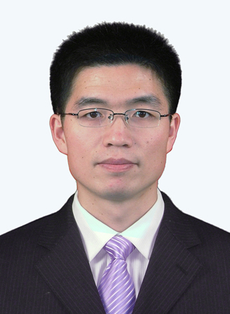 Yiguo Xue (薛翊国)合作论文数Geotechnical and Structural Engineering Center, School of Civil Engineering, Shandong University113
 Daohong Qiu (邱道宏)合作论文数Institute of Geotechnical and Underground Engineering, Shandong University62
 Shucai Li (李术才)合作论文数School of Qilu Transportation, Shandong University61
 Peng Wang合作论文数24
 Zhiqiang Li (李志强)合作论文数School of Civil Engineering, Shandong University17
 Guangkun Li合作论文数15
 Fanmeng Kong (孔凡猛)合作论文数Sch Engn & Technol, China Univ Geosci Beijing14
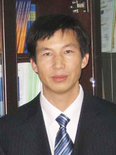 Qingsong Zhang (张庆松)合作论文数School of Civil Engineering, Shandong University14
 Binghua Zhou合作论文数Research Center of Geotechnical and Structural Engineering, Shandong University13
 Xiu Li合作论文数12
 Hao Tian合作论文数12
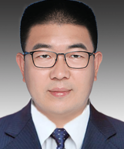 Huaifeng Sun (孙怀凤)合作论文数School of Civil Engineering, Shandong University12
 Xiaoyin Ma合作论文数11
 Yimin Liu合作论文数11Ying Zhao合作论文数10
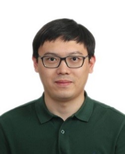 Kai Zhang (张凯)合作论文数School Of Automation And Electeical Engineering, University of Science and Technology Beijing10
 Bin Liu (刘斌)合作论文数School of Civil Engineering, Shandong University;School of Future Technology, Shandong University10
 Chuanqi Qu合作论文数9
 Lichao Nie (聂利超)合作论文数Geotechnical and Structural Engineering Center, School of Civil Engineering, Shandong University9Kai Cheng合作论文数8Congcong Li合作论文数8
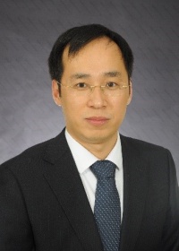 Zhechao Wang (王者超)合作论文数School of Resources and Civil Engineering, Northeastern University8
 Chenghao Bai合作论文数Geotechnical and Structural Engineering Research Center, Shandong University7
 Teng Xia合作论文数7LI Wei-teng (李为腾)合作论文数6Xueliang Zhang合作论文数6
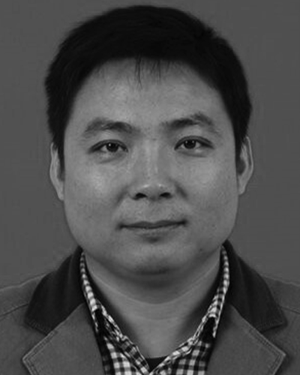 Zhipeng Qi合作论文数6
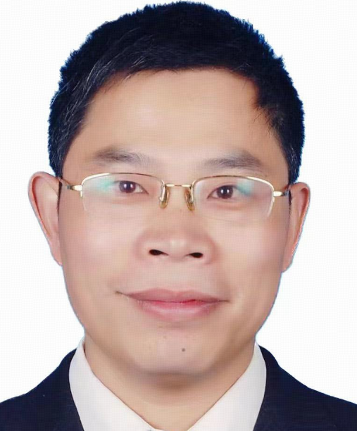 Lewen Zhang (张乐文)合作论文数Institute of Marine Science and Technology, Shandong University;Institute of Geotechnical and Underground Engineering, Shandong University6
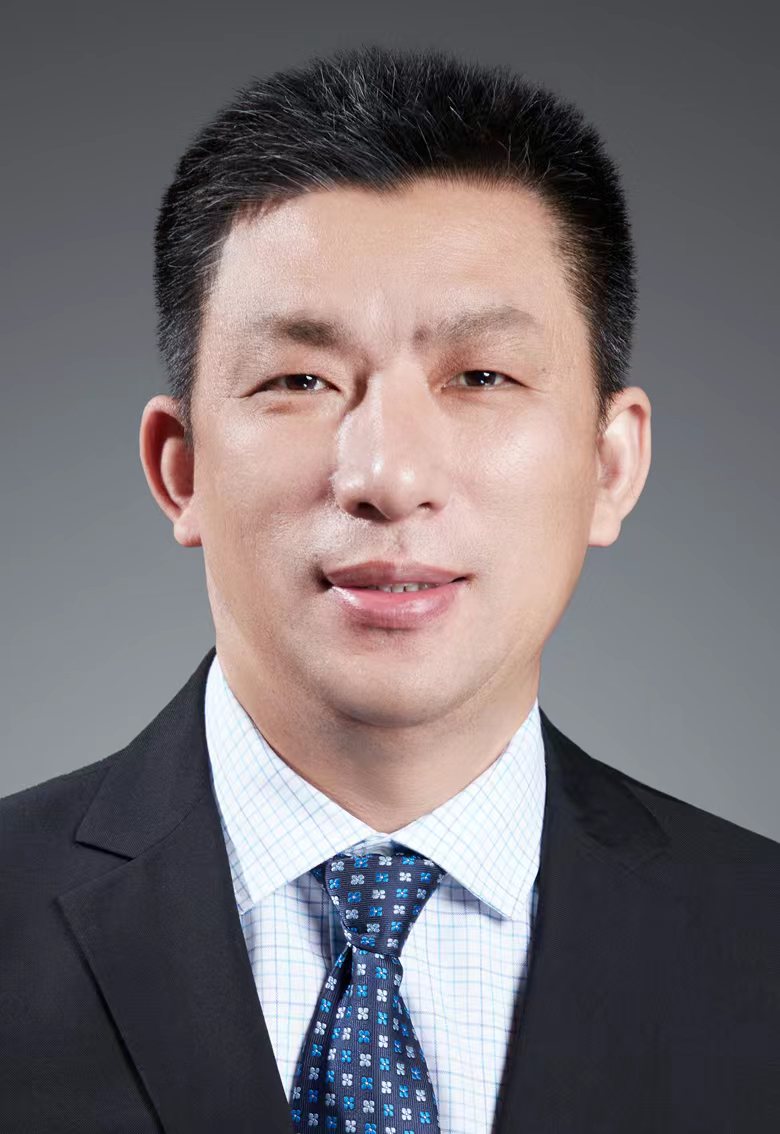 Shuchen Li (李树忱)合作论文数School of Future Technology, Shandong University6
 Zexu Ning合作论文数5
 Kang Fu合作论文数5
 Xinmin Ma合作论文数5
 Zhenhao Xu (许振浩)合作论文数School of Qilu Transportation, Shandong University;Geotechnical and Structural Engineering Research Center, Shandong University5
 Weimin Yang (杨为民)合作论文数School of Qilu Transportation, Shandong University5
 Gang Tian (田钢)合作论文数School of Earth Sciences, Zhejiang University5Zhihai Ding (丁志海)合作论文数5
 Zhengyu Liu (刘征宇)合作论文数School of Civil Engineering, Shandong University;Institute of Geotechnical and Underground Engineering, Shandong University4
 Yaqin Zhao (赵雅琴)合作论文数School of Environment and Spatial Informatics, China University of Mining and Technology4
 Liping Li (李利平)合作论文数State Key Laboratory of Intelligent Manufacturing of Advanced Construction Machinery, School of Qilu Transportation, Shandong University4Zhanying Ju合作论文数3Shi Shuanghu (石双虎)合作论文数BGP International, CNPC, Zhuozhou, 072751, China3
 Tao Yufan合作论文数3Wang Kai合作论文数3ShiHang Zhong (钟世航)合作论文数3Yan Zhao (赵岩)合作论文数3
 Haiyan Li (李海燕)合作论文数Institute of Geotechnical and Underground Engineering, Shandong University;Geotechnical and Structural Engineering Center, School of Civil Engineering, Shandong University3




