With the rapid development of intelligent sensing technology, unmanned aerial vehicles (UAVs) have shown their potential in mobile non-cooperative target (MNCT) tracking tasks. Collaborative learning of target motion characteristics is an effective means of improving tracking stability for UAV swarms. However, UAV swarm-based MNCT tracking faces critical challenges in real-world environments, including sensing interference and data heterogeneity. To address this and realize per-sensing-round updates of the models deployed on the UAV swarm, we propose FedMES, a federated learning framework that jointly optimizes data reliability and model performance. First, we design a data filtering mechanism using polynomial fitting and moving average correction to suppress destructive noise. Second, dynamic aggregation weights are assigned based on historical data confidence to prioritize high-reliability clients. Third, clients selectively adopt the global or local model via a dual-metric evaluation post-aggregation. Evaluated on real-world MNCT trajectories, FedMES reduces mean estimation errors by 10%-22% compared to FedAvg/FedProx, demonstrating superior robustness under high noise and data loss.
This paper tackles the critical challenge of rapid and energy-efficient path planning for Unmanned Aerial Vehicles (UAVs) in large-scale urban environments, where coupled spatial obstacles and the inherent trade-off between motion and communication energy consumption must be simultaneously addressed. We propose a novel integrated framework, CGF-ICOA, with two key contributions. First, a Continuous Geo-Fencing (CGF) airspace model is introduced, built directly on remote sensing data to achieve high-fidelity environment representation whose accuracy is independent of grid resolution. Second, an Inertial Colony Optimization Algorithm (ICOA) is designed, featuring periodic linear inertia weights and segmented feedback mechanisms to accelerate convergence and escape local optima. Extensive simulations demonstrate that ICOA outperforms state-of-the-art meta-heuristics, achieving the best solution on 17 out of 30 CEC2017 benchmark functions, average achieving up to 9.6% improvement in Hypervolume (HV) metric and 42.3% reduction in Sparsity (S) compared to the most competitive baseline algorithms It demonstrates that CGF-ICOA achieves significant improvements in planning efficiency and energy savings, effectively balances the trade-off between motion and communication energy consumption, thereby narrowing the Sim2Real gap for practical UAV deployment.
Optimization problems in the real world usually involve multiple potentially conflicting objectives, and although traditional multi-objective optimization algorithms can solve various optimization problems better, they may not perform well when facing complex, dynamic, and high-dimensional optimization problems. In order to make up for the shortcomings of traditional algorithms in adapting to complex real-world scenarios, in recent years, researchers have conducted a lot of research on the combination of multi-objective optimization algorithms and reinforcement learning. In this paper, we provide a comprehensive review of recent research efforts. We classify current multi-objective optimization algorithms into two categories: mainstream multi-objective evolutionary algorithms and other typical algorithms, describe the types of problems to which each algorithm is applicable and the algorithmic improvements made by recent work, and systematically outline how different types of algorithms can be combined with reinforcement learning. Finally, we discuss some remaining challenges and suggest several promising directions for future research.
This paper proposes an unmanned aerial vehicle (UAV) rapid autonomous landing strategy in GNSS-denied environments using pan-tilt based visual servoing (PTBVS) system. First, we propose a PTBVS system for navigating the UAV landing on a square platform. Through the status of the airborne camera and image information, the relative position information between the UAV and landing point can be obtained for navigation. Second, we made the UAV move horizontally and vertically at the same time when returning, which greatly shortens the flight distance and reduces the landing time. Moreover, in different landing stages, we adopt different positioning information acquisition methods. When the UAV is approaching the landing point, it uses the PTBVS system for navigation. Instead, it uses the pixel coordinate offset of the landing point to further improve the landing accuracy when landing vertically. Finally, we put forward the PTZ and UAV control algorithm. The PTZ control which keeps the landing point in the center range of the image consists of the time delay and PID control. And the UAV control guides the UAV to return and land. We test the proposed landing algorithm in the simulation platform and the actual environment. It is proved that the proposed method can bring the UAV earlier visual foresight, less landing time, and higher landing accuracy.
 Sifan Chen合作论文数4
 Baihe Chen合作论文数Southern Medical University, Southern Medical University2
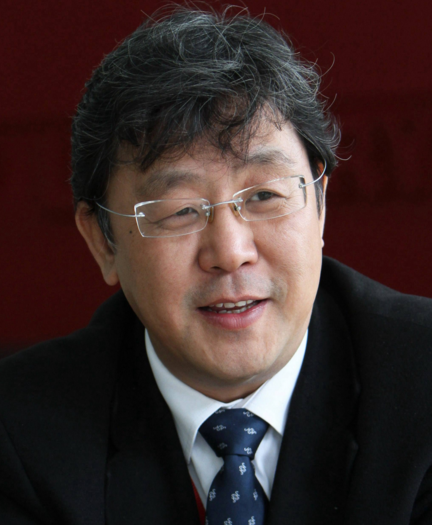 Siegfried Zhiqiang Wu (吴志强)合作论文数College of Design and Innovation, Tongji University;Department of Urban Planning, College of Architecture and Urban Planning, Tongji University2
 Pingping Chen (陈平平)合作论文数College of Physics and Information Engineering, Fuzhou University2
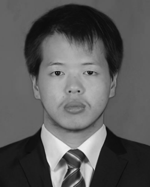 Xiang Jin合作论文数1
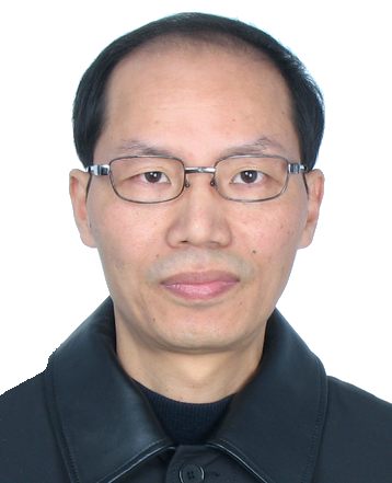 Kaixiong Su (苏凯雄)合作论文数福州大学物理与信息工程学院1




