Within the scope of the Aveiro STEAM City project, an air quality monitoring network was installed in the city of Aveiro (Portugal), to evaluate the potential of sensors to characterize spatial and temporal patterns of air quality in the city. The network consists of nine sensors stations with air quality sensors (PM10, PM2.5, NO2, O3 and CO) and two meteorological stations, distributed within selected locations in the city of Aveiro. The analysis of the data was done for a one-year measurement period, from June 2020 to May 2021, using temporal profiles, statistical comparisons with reference stations and Air Quality Indexes (AQI). The analysis of sensors data indicated that air quality variability exists for all pollutants and stations. The majority of the study area is characterized by good air quality, but specific areas—associated with hotspot traffic zones—exhibit medium, poor and bad air quality more frequently. The daily patterns registered are significantly different between the affected and non-affected road traffic sites, mainly for PM and NO2 pollutants. The weekly profile, significative deltas are found between week and weekend: NO2 is reduced on the weekends at traffic sites, but PM10 is higher in specific areas during winter weekends, which is explained by residential combustion sources.
This study aims to develop a multi-scale atmospheric emission inventory for the transport sector with high spatial and temporal resolution using Portugal as a case study. For that, a combination of the traditional method of emissions calculation with an innovative way to gather and process data (BigAir approach) was implemented. The accuracy of the developed inventory was evaluated by applying a multi-scale air pollution system, with two sets of data: i) BigAir and ii) EMEP emission inventories. The scalability and replicability nature of the BigAir approach allows it to be used by the scientific community in other regions of the world.
The current atmospheric emission inventories do not fully meet the spatial and temporal resolution requirements of air quality modelling applications. Considering Portugal as a case study and focusing on combustion point emission sources (i.e., public power, refineries, manufacturers, and construction activities), this work proposes a methodological approach and dataset to estimate anthropogenic emissions suitable for different spatial scales (from regional to local). The obtained results were similar to the annual values reported by the Portuguese Environment Agency with the maximum emissions being estimated for manufacturing and construction activities. No significant differences were recorded between the temporal profiles developed in this and previous studies. However, the country-specific proxies from the developed database allowed us to better represent the temporal and spatial patterns of the Portuguese atmospheric emissions. The combination of the BigAir database with a comprehensive and standardized approach could help policymakers define mitigation and/or plan measures to reduce emissions from point sources, support countries worldwide (with a lack of data) to develop high-resolution emission inventories, and improve the current global and European inventories.
People spend most of their time in indoor environments without knowing about the air quality in these spaces. In this study, indoor low-cost sensors were used (for 5 months) to assess the comfort and air quality patterns in two indoor households. To strengthen the robustness of the considered approach and build confidence in the obtained comfort and indoor air quality (IAQ) levels, the sensor measurements were also compared against information from reference monitoring equipment; in which, high correlation coefficients were obtained (> 0.85) and also low errors (on average 22%). The IAQ results were strongly influenced by the residents' activity and behaviour, the outdoor weather conditions, and indoor/outdoor air pollution sources. Overall, the recommended values of temperature and relative humidity for the occupant's comfort in indoor environments were not fulfilled. The highest particulate matter (PM) levels were recorded at the weekend (on average +14% higher), while maximum CO2 and CO levels were obtained on the weekdays (on average +9% higher). PM daily profiles followed the outdoor concentrations with the maximum levels at the end of the night and the lowest values in the early morning/mid-afternoon. The highest and lowest CO2 concentrations were registered in the early morning (< 1536 ppm) and mid-afternoon (< 627 ppm), respectively, while the CO daily profiles showed a high impact of outdoor emissions, with the minimum concentrations up to 0.81 mg m-3 (at 10 a.m. or 6 p.m.), and a maximum concentration of 1.87 mg m-3 (at 10 p.m.). Real-time comfort conditions and IAQ levels are a powerful approach to providing fast decisions to minimise human exposure and prevent negative health impacts.
Portugal is a country that is often affected by large wildfires, which can be characterised by a high level of destruction of material goods and deaths. Portugal will never forget the fatalities linked to forest fires in recent years; in 2017, more than 100 people died. Vila Real is one of the districts with the highest occurrence of wildfires. This study characterised the risk of fire for the District of Vila Real, based on Geographic Information Systems. This work applies a methodology at a district level that allows better decision making by those responsible for district civil protection, since they have a new decision making support tool. This new tool gives information about the wildfire risk, the priority of surveillance of the most dangerous areas and the travel time of the firefighters in their emergency response area. Most of the district (61.78%) presents a medium, high or very high risk in the context of wildfires. Regarding travel time, most of the territory under study is more than 15 min from the fire brigades. Since 70% of the district's area is not visible from any lookout post or only from one, the areas in need of enhanced surveillance were determined.
 Johnny Reis合作论文数Centre for Environmental and Marine Studies (CESAM),, University of Aveiro5
 Myriam Lopes合作论文数4
 Diogo Lopes合作论文数3
 Joana Ferreira合作论文数2
 Rafael S.合作论文数2
 Helder Relvas合作论文数2
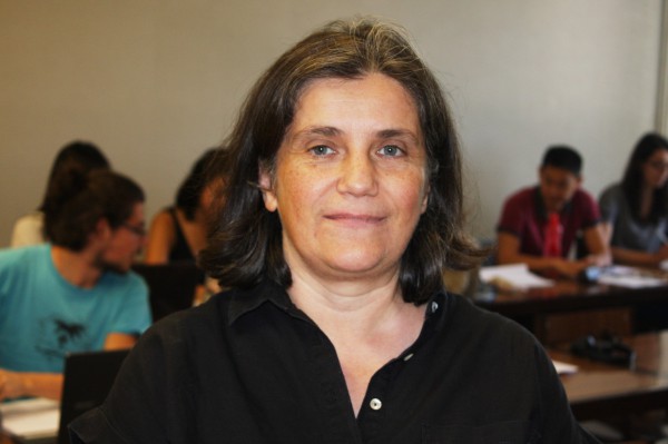 Ana Isabel Miranda合作论文数Department of Environment and Planning, University of Aveiro2
 André Rodrigues合作论文数1Carlos Hermenegildo合作论文数1Micael Rebelo合作论文数1
 Miguel Sousa合作论文数1
 Carla Gama合作论文数CESAM, University of Aveiro1
 Jorge Raposo合作论文数1
 Bruno Augusto合作论文数1
 A. P. Fernandes合作论文数1
 Vera Rodrigues合作论文数1Carlos Borrego合作论文数1
 Alexandra Monteiro合作论文数Departamento de Ambiente e Ordenamento, Universidade de Aveiro1




