Environmental toxicants overwhelmingly occur together as mixtures. The variety of possible chemical interactions makes it difficult to predict the danger of the mixture. In this work, we propose the novel Reflected Generalized Concentration Addition (RGCA), a piece-wise, geometric technique for sigmoidal dose-responsed inverse functions that extends the use of generalized concentration addition (GCA) for 3+ parameter models. Since experimental tests of all relevant mixtures is costly and intractable, we rely only on the individual chemical dose responses. Additionally, RGCA enhances the classical two-step model for the cumulative effects of mixtures, which assumes a combination of GCA and independent action (IA). We explore how various clustering methods can dramatically improve predictions. We compare our technique to the IA, CA, and GCA models and show in a simulation study that the two-step approach performs well under a variety of true models. We then apply our method to a challenging data set of individual chemical and mixture responses where the target is an androgen receptor (Tox21 AR-luc). Our results show significantly improved predictions for larger mixtures. Our work complements ongoing efforts to predict environmental exposure to various chemicals and offers a starting point for combining different exposure predictions to quantify a total risk to health.
BACKGROUND:Geospatial methods are common in environmental exposure assessments and increasingly integrated with health data to generate comprehensive models of environmental impacts on public health. OBJECTIVE:Our objective is to review geospatial exposure models and approaches for health data integration in environmental health applications. METHODS:We conduct a literature review and synthesis. RESULTS:First, we discuss key concepts and terminology for geospatial exposure data and models. Second, we provide an overview of workflows in geospatial exposure model development and health data integration. Third, we review modeling approaches, including proximity-based, statistical, and mechanistic approaches, across diverse exposure types, such as air quality, water quality, climate, and socioeconomic factors. For each model type, we provide descriptions, general equations, and example applications for environmental exposure assessment. Fourth, we discuss the approaches used to integrate geospatial exposure data and health data, such as methods to link data sources with disparate spatial and temporal scales. Fifth, we describe the landscape of open-source tools supporting these workflows.
Remote Visible/Shortwave Infrared (VSWIR) imaging spectroscopy is a powerful tool for measuring the composition of Earth's surface over wide areas. This compositional information is captured by the spectral surface reflectance, where distinct shapes and absorption features indicate the chemical, bio- and geophysical properties of the materials in the scene. Estimating this surface reflectance requires removing the influence of atmospheric distortions caused by water vapor and particles. Traditionally reflectance is estimated by considering one location at a time, disentangling atmospheric and surface effects independently at all locations in a scene. However, this approach does not take advantage of spatial correlations between contiguous pixels. We propose an extension to a common Bayesian approach, Optimal Estimation, by introducing atmospheric correlations into the multivariate Gaussian prior. We show how this approach can be implemented as a small change to the traditional estimation procedure, thus limiting the additional computational burden. We demonstrate a simple version of the technique using simulations and multiple airborne radiance data sets. Our results show that the predicted atmospheric fields are smoother and more realistic than independent inversions given the assumption of spatial correlation and may reduce bias in the surface reflectance retrievals compared to post-process smoothing.
Modern remote-sensing retrievals often invoke a Bayesian approach to infer atmospheric properties from observed radiances. In this approach, plausible mean states and variability for the quantities of interest are encoded in a prior distribution. Recent developments have devised prior assumptions for the correlation among atmospheric constituents and across observing locations. This work formulates a spatial statistical framework for simultaneous multi-footprint retrievals of carbon dioxide (CO2) with application to the Orbiting Carbon Observatory-2/3 (OCO-2/3). Formally, the retrieval state vector is extended to include atmospheric and surface conditions at many footprints in a small region, and a prior distribution that assumes spatial correlation across these locations is assumed. This spatial prior allows the length-scale, or range, of spatial correlation to vary between different elements of the state vector. Various single- and multi-footprint retrievals are compared in a simulation study. A spatial prior that also includes relatively large prior variances for CO2 results in posterior inferences that most accurately represent the true state and that reduce the correlation in retrieval error across locations.
Generalized Gaussian processes (GGPs) are highly flexible models that combine latent GPs with potentially non-Gaussian likelihoods from the exponential family. GGPs can be used in a variety of settings, including GP classification, nonparametric count regression, modeling non-Gaussian spatial data, and analyzing point patterns. However, inference for GGPs can be analytically intractable, and large datasets pose computational challenges due to the inversion of the GP covariance matrix. A Vecchia–Laplace approximation for GGPs is proposed, which combines a Laplace approximation to the non-Gaussian likelihood with a computationally efficient Vecchia approximation to the GP, resulting in simple, general, scalable, and accurate methodology. Numerical studies and comparisons on simulated and real spatial data are provided. The methods are implemented in a freely available R package.
Gaussian processes (GPs) are highly flexible function estimators used for geospatial analysis, nonparametric regression, and machine learning, but they are computationally infeasible for large datasets. Vecchia approximations of GPs have been used to enable fast evaluation of the likelihood for parameter inference. Here, we study Vecchia approximations of spatial predictions at observed and unobserved locations, including obtaining joint predictive distributions at large sets of locations. We consider a general Vecchia framework for GP predictions, which contains some novel and some existing special cases. We study the accuracy and computational properties of these approaches theoretically and numerically, proving that our new methods exhibit linear computational complexity in the total number of spatial locations. We show that certain choices within the framework can have a strong effect on uncertainty quantification and computational cost, which leads to specific recommendations on which methods are most suitable for various settings. We also apply our methods to a satellite dataset of chlorophyll fluorescence, showing that the new methods are faster or more accurate than existing methods and reduce unrealistic artifacts in prediction maps. Supplementary materials accompanying this paper appear on-line.
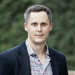 Matthias Katzfuss合作论文数Dept Stat, Texas A&M Univ6
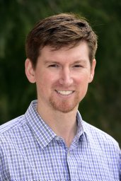 Messier Kyle P合作论文数Gillings School of Global Public Health, University of North Carolina3
 Wenlong Gong合作论文数Department of Statistics, North Carolina State University2
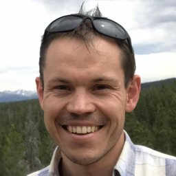 Marcin Jurek合作论文数Dept Stat & Data Sci, Univ Texas Austin2
 Jonathan Hobbs合作论文数2
 Anirban Mondal合作论文数1
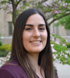 Mariana Alifa合作论文数Department of Civil and Environmental Engineering and Earth Sciences, University of Notre Dame1Veronica J. Berrocal合作论文数1
 Joseph Guinness合作论文数1
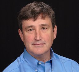 Schmitt Charles合作论文数1
 David C Fargo合作论文数1
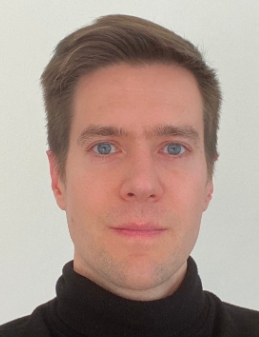 David R. Thompson合作论文数Jet Propulsion Laboratory, California Institute of Technology;Arizona State University1
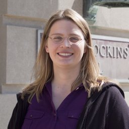 Jenny Brynjarsdottir合作论文数1
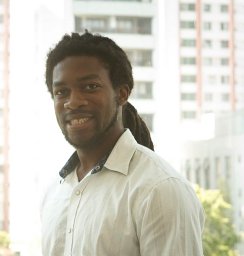 Cavin Ward-Caviness合作论文数Program in Computational Biology and Bioinformatics, Duke University Medical Center1
 Amy Braverman合作论文数1
 Vijay Natraj合作论文数Jet Propulsion Laboratory, California Institute of Technology;Joint Institute for Regional Earth System Science and Engineering, University of California, Los Angeles1
 David M. Reif合作论文数Division of Translational Toxicology, National Institute of Environmental Health Sciences1




