In the wider debate on urban resilience and metabolism, food-related aspects have gained increasing importance. At the same time, urban agro-food systems in city regions are facing major challenges with regard to often limited domestic supplies, resource-intensive producer-consumer relationships, and the competition for low-price products via global food chains. In this sense, novel methods for coupling local and global processes are required to better understand the underlying mechanisms between the above factors. Exploring the relationship between food supply and demand, this study presents a set of suitable fact-finding tools that are introduced and applied in a comparative study of five European city regions. The methodological framework, by introducing and combining economic-based indexes, aims at overcoming limits and gaps identified by means of a literature review. The model will explicitly address the main features of the regional agro-food systems by managing information on the capacities and opportunities of local agriculture to adequately respond to food demand, as well as by providing insights on the interconnections among localism, global competitiveness of agricultural sectors, and land use change.
The Food Planning and Innovation for Sustainable Metropolitan Regions (FOODMETRES) project strives to assess the environmental and socioeconomic impacts of food chains, with regard to the spatial, logistical, and resource dimensions of growing food as well as the questions of food safety and quality as key assets for food planning and governance. Recognizing that food production and consumption are not only linked via food chains in a physical–logistic way, but above all via value chains of social acceptance, FoodMetres is designed to combine quantitative and evidence-based research principles with qualitative and discursive methods, in order to address the wider dimensions of food chains in the context of metropolitan agro-systems. One of the research assets is to assess the location and amount of agriculturally productive land within reach of urban centers, to supply metropolitan populations with regionally grown food. For this purpose, we have developed an accessibility approach that is specifically designed to examine the potential of Metropolitan Agro-Food Systems (MAS) to feed urban populations. Taking into account data on transport infrastructure and land cover as well as the protection status of land, this paper highlights the results for the test cases of Ljubljana, Berlin, London, Milano, and Rotterdam.
This study explores Knowledge Brokerage (KB) aspects of an ex-post Impact Assessment (IA) for the Rural Development Programme (RDP) measure of setting up young farmers, under the Common Agricultural Policy (CAP), at the regional level in Northern Greece. The measure supports the entry of young farmers in agriculture by moving land from older to younger farmers. The aim of the study was to test a set of KB tools for improving the interaction between researchers and policy makers. Our analysis mainly focused on a suite of IA Support Modules to guide practitioners, and on a technical tool kit, a web-based contextualisation platform, to support the IA of the specific test case. Offering a structured approach towards IA, both the Support Modules and LIAISE-KIT allow framing the context, organisation, scheduling and method selection in the light of KB objectives. The evaluation of how IA Support Modules influence the Science Policy Interface (SPI), in the case of the ex-post assessment, demonstrated the high relevance of KB activities for facilitating the interaction between researchers and regional policy makers. The assessment bridges the gap between knowledge producers developing scientific output to be applied in a specific context, and knowledge users, who want clear messages regarding the policy challenges they face. Other conclusions include the need for specific guidelines and training for knowledge users, especially with regard to the use of tools. According to our findings, a consequent application of KB activities is a crucial pre-condition for successfully implementing IAs in future RDP measures.
There is increasing recognition that agricultural landscapes meet multiple societal needs and demands beyond provision of economic and environmental goods and services. Accordingly, there have been significant calls for the inclusion of societal, amenity and cultural values in agri-environmental landscape indicators to assist policy makers in monitoring the wider impacts of land-based policies. However, capturing the amenity and cultural values that rural agrarian areas provide, by use of such indicators, presents significant challenges. The EU social awareness of landscape indicator represents a new class of generalized social indicator using a top-down methodology to capture the social dimensions of landscape without reference to the specific structural and cultural characteristics of individual landscapes. This paper reviews this indicator in the context of existing agri-environmental indicators and their differing design concepts. Using a stakeholder consultation approach in five case study regions, the potential and limitations of the indicator are evaluated, with a particular focus on its perceived meaning, utility and performance in the context of different user groups and at different geographical scales. This analysis supplements previous EU-wide assessments, through regional scale assessment of the limitations and potentialities of the indicator and the need for further data collection. The evaluation finds that the perceived meaning of the indicator does not vary with scale, but in common with all mapped indicators, the usefulness of the indicator, to different user groups, does change with scale of presentation. This indicator is viewed as most useful when presented at the scale of governance at which end users operate. The relevance of the different sub-components of the indicator are also found to vary across regions. (C) 2015 Elsevier Ltd. All rights reserved.
By offering a series of decision support tools for stakeholders of metropolitan regions, SUSMETRO facilitates and enables evidence-based decision making by means of ‘serious gaming’. Making use of the Phase 1 thematic maps such as on agricultural competitiveness, nature conservation and recreational values, stakeholders can compare impacts of traditional versus innovative forms of agricultural production. The SUSMETRO Impact Assessment tool provides information on the expected effects of spatial planning with regard to the self-supportive capacities of the region (ecological footprint) and the share of recreational and nature conservation facilities (land use functions), offering cost-benefit calculations regarding the expected economic revenues. The whole process is embedded in a Landscape Character Assessment process and guided by Knowledge Brokerage procedures to strengthen the science-policy interface. In sum, the SUSMETRO approach allows a wide range of stakeholders to co-develop images for sustainable Metropolitan Agriculture.
While some rural areas draw increasing populations to their landscape amenities and some are changed by the long reach of metropolitan sprawl, agriculture defines, and dominates rural landscapes. Amenity characteristics and ecological services of many rural landscapes occur in the context of agricultural economies. As these economies respond to international trade, international policy, notably policies of the World Trade Organization (WTO), is increasingly affecting rural landscape change. The USA and the European Union (EU), partners as well as independent players in global trade, and agriculture, employ comparable but distinct policies to strengthen both the economic competitiveness of agriculture and the sustainability of rural livelihoods and landscape management. Pushed by WTO mandates, both the EU and USA recently have given a higher profile to agricultural policy with explicit environmental goals, so-called agri-environmental policy, because it may achieve public benefits without distorting trade. This chapter compares the intent, mechanisms, and landscape effects of the different conservation and agri-environmental policies of the USA and EU, and suggests that international trade policy could drive planning for future agricultural landscapes that provide enhanced amenity and ecological values.
Word landscape encompassing one of the most popular and widely used concepts relating human beings to their environment, lacked a universal and widely accepted classification system until recently. Most of the past and current scientific work in the field of landscape characterisation and mapping is extremely diverse and regionalised. Although the regionalised approaches are often well adapted to specific local or national policy or planning needs, and are rich in contextual qualitative information, they are often poor in terms of well defined diagnostic criteria, and are therefore less suitable for wider cross-border operational applications or broader 'stakeholder' support. This chapter presents the newly established European Landscape Classification, called the European Landscape Map (LANMAP2) in relation to the case studies in this book. The main emphasis in the chapter is on the newly established methodology, its underlying data sets and its results. Keywords: European landscape characterisation; European Landscape Map (LANMAP2)
 Caspar A. Mücher合作论文数6
 M. Perez-Soba合作论文数wageningen university and research centre5
 Ingo Zasada合作论文数Leibniz Centre for Agricultural Landscape Research5
 h j agricola合作论文数4Federica Monaco合作论文数4
 Matjaz Glavan合作论文数Biotechnical Faculty, University of Ljubljana4
 Guido Sali合作论文数4Marina Pintar合作论文数4
 Ulrich Schmutz合作论文数Ryton Organic Gardens4Stefano Corsi合作论文数4Alexandra Doernberg合作论文数3
 Esther van Asselt合作论文数RIKILT – Institute of Food Safety, Wageningen University and Research Centre3
 Laura Venn合作论文数3
 Geoff Groom合作论文数National Environmental Research Institute, Aarhus University3
 Moya Kneafsey合作论文数Geography Department;Coventry University;Geography Department, Coventry University3
 Annette Piorr合作论文数3a j m koomen合作论文数3
 Chiara Mazzocchi合作论文数2
 Sander Mucher合作论文数wageningen university and research centre2
 Katharina Helming合作论文数Leibniz Centre for Agricultural Landscape Research2
 Gustavo Arciniegas合作论文数Institute for Environmental Studies, VU University Amsterdam2v briquel合作论文数1
 Herman Agricola合作论文数1j a klijn合作论文数1p j a m smeets合作论文数1maria tinacci mossello合作论文数1Sebastiaan Soeters合作论文数1
 M. van Eupen合作论文数1luigi omodeizorini合作论文数1
 Paul Tabbush合作论文数1
 Philip Jones合作论文数1
 Luis Madeira合作论文数1
 Bettina Konig合作论文数THESys, IRI1nathalie bertrand合作论文数1
 Elizabeth Bos合作论文数Centre for Business in Society, Coventry University1
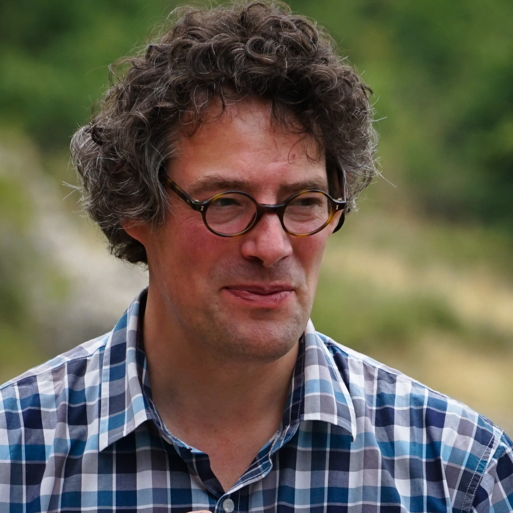 Marc J Metzger合作论文数Geography and the Lived Environment, School of GeoSciences, The University of Edinburgh1
 Joan Iverson Nassauer合作论文数School for Environment and Sustainability, University of Michigan-Ann Arbor1
 Stefan Sieber合作论文数1
 Caterina Contini合作论文数1John Farrington合作论文数1
 Minze Stuiver合作论文数Quaternary Research Center, University of Washington1
 Basil Manos合作论文数School of Agriculture, Aristotle University of Thessaloniki1Karen Tscherning合作论文数1Hubert Wiggering合作论文数1
 Simon R. Mortimer合作论文数Dept. of Agriculture, University of Reading1R.G.H. Bunce合作论文数1
 Rob H. G. Jongman合作论文数Wageningen University and Research Centre1Maria Luisa Paracchini合作论文数Institute for Environment and Sustainability;Joint Research Centre;Joint Research Centre, Institute for Environment and Sustainability1




