Automated rock recognition is a key step for building a fully autonomous mine. When characterizing rock types from drill performance data, the main challenge is that there is not an obvious one-to-one correspondence between the two. In this paper, a hybrid rock recognition approach is proposed which combines Gaussian Process (GP) regression with clustering. Drill performance data is also known as Measurement While Drilling (MWD) data and a rock hardness measure - Adjusted Penetration Rate (APR) is extracted using the raw data in discrete drill holes. GP regression is then applied to create a more dense APR distribution, followed by clustering which produces discrete class labels. No initial labelling is needed. Comparisons are made with alternative measures of rock hardness from MWD data as well as state-of-the-art GP classification. Experimental results from an actual mine site show the effectiveness of our proposed approach.
There is a strong push within the mining sector to develop and adopt automation technology, including autonomous vehicles such as excavators, trucks and drills. However, for autonomous systems to operate effectively in this domain, new perception capabilities are required to build rich models of a mine. A key element of this is an ability to sense and model the sub-surface geological structure as well as the more traditional robotic models, which typically estimate terrain and obstacles. This paper presents a new automated geological perception system to support autonomous mining. It uses hyperspectral imaging sensors and a supervised learning algorithm to detect and classify geological structures, and ultimately build a rich model of the operating environment. The presented algorithm uses Gaussian Processes (GPs) and an Observation Angle Dependent (OAD) covariance function. Further, the resulting geological model can be improved by fusing data from two hyperspectral scanners which measure different regions of the spectrum. The approach is demonstrated using data from an operational iron-ore mine. Fusion of classification results from the two sensors shows better agreement with ground truth mapping done in the field, compared to results from individual sensors.
UN METODO Y SISTEMA PARA REGULAR EL MOVIMIENTO DE UNA ENTIDAD ENTRE UNA PRIMERA ZONA Y UNA SEGUNDA ZONA ADYACENTE A LA PRIMERA ZONA, EN UN SISTEMA DE AUTOMATIZACION DE MINAS, QUE COMPRENDE: A) SUMINISTRAR UNA JERARQUIA DE CONTROLADORES QUE CORRESPONDE A UNA JERARQUIA DE ZONAS EN UNA REGION GEOGRAFICA DEFINIDA, LA JERARQUIA DE CONTROLADORES COMPRENDE: UN PRIMER CONTROLADOR ASOCIADO CON LA PRIMERA ZONA, UN SEGUNDO CONTROLADOR ASOCIADO CON LA SEGUNDA ZONA; Y UN CONTROLADOR DE SUPERVISION OPERABLE PARA SUPERVISAR EL PRIMER Y EL SEGUNDO CONTROLADOR EN LA JERARQUIA DE CONTROLADORES, EL CONTROLADOR DE SUPERVISION ASOCIADO CON UNA ZONA MADRE QUE ENCAPSULA LA PRIMERA Y SEGUNDA ZONA; B) EL CONTROLADOR DE SUPERVISION BUSCA AUTORIZACION DEL PRIMERO Y EL SEGUNDO CONTROLADOR PARA QUE LA ENTIDAD SE MUEVA DE LA PRIMERA ZONA A LA SEGUNDA ZONA; C) EL CONTROLADOR DE SUPERVISION ORDENA AL PRIMER CONTROLADOR INSTRUIR A LA ENTIDAD MOVERSE A UNA ZONA DE TRANSICION QUE ABARCA UN LIMITE ENTRE LA PRIMERA ZONA Y LA SEGUNDA ZONA; D) EL CONTROLADOR DE SUPERVISION ORDENA AL SEGUNDO CONTROLADOR REGISTRAR LA ENTIDAD DE TAL MANERA QUE LA ENTIDAD RESPONDA AL CONTROL DE SUPERVISION DEL SEGUNDO CONTROLADOR EN LA MEDIDA EN QUE LA ENTIDAD SE MUEVE DE LA ZONA DE TRANSICION A LA SEGUNDA ZONA; Y E) EL CONTROLADOR DE SUPERVISION ORDENA AL PRIMER CONTROLADOR CANCELAR EL REGISTRO DE LA ENTIDAD DE TAL MANERA QUE LA ENTIDAD YA NO RESPONDA AL CONTROL DE SUPERVISION POR PARTE DEL PRIMER CONTROLADOR.
Autonomous operation of blast hole drill rigs requires monitoring of drilling parameters known as "Measurement While Drilling" (MWD) data. From these data, rock properties can be inferred. A supervised classification scheme is usually used to map MWD data inputs to rock type outputs given some labeled training data. However, the geology has no definite ground truth that can allow a reliable labeling of the training data, nor is there a clear input-output pair connection between the MWD data and the rock types. In this paper, an adaptive unsupervised approach is proposed to estimate the rock types in a data driven way by minimizing the entropy gradient of the characterizing measure "Optimized Adjusted Penetration Rate" (OAPR). Neither data labeling nor fixed model parameters are required because of the data driven nature of the algorithm. Experimental results illustrate the effectiveness of our solution.
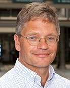 Hugh Durrant-Whyte合作论文数Faculty of Engineering, University of Sydney34
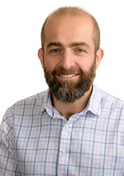 Salah Sukkarieh合作论文数Australian Centre for Field Robotics, Faculty of Engineering, University of Sydney19
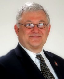 Ali Haydar Goktogan合作论文数Australian Centre for Robotics, The University of Sydney17
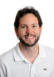 Fabio Ramos合作论文数NVIDIA;School of Computer Science, The University of Sydney;Sydney Institute of Agriculture, The University of Sydney16
 Matthew Ridley合作论文数* List of popular science books on evolution11
 Ross Hennessy合作论文数9
 Shrihari Vasudevan合作论文数Autonomous Systems Laboratory;Swiss Federal Institute of Technology;Autonomous Systems Laboratory, Swiss Federal Institute of Technology9
 Jonghyuk Kim合作论文数Center of Excellence for Cybercrimes and Digital Forensics, Naif Arab University for Security Sciences8
 Arman Melkumyan合作论文数Department of Mechanics;Yerevan State University;Alex Manoogyan Street;Department of Mechanics, Yerevan State University8F. Oppolzer合作论文数7
 Peter Hatherly合作论文数7
 Linthotage Dushantha Lochana Perera合作论文数Australian Center for Field Robot., Univ. of Sydney;c;Australian Center for Field Robot., Univ. of Sydney6
 Sildomar T. Monteiro合作论文数University of Sydney6
 Surya Singh合作论文数Department of Electrical & Computer Engineering, University of Washington5Richard Murphy合作论文数School of Geosciences, Faculty of Science, The University of Sydney4Hang Zhou合作论文数4
 Sven Schneider合作论文数Australian Ctr Field Robot, Univ Sydney4
 Peter W. Gibbens合作论文数3
 Paul Thompson合作论文数3
 Graham M. Brooker合作论文数University of Sydney Australian Centre for Field Robotics3H. Zhou合作论文数2H. F. Durrant-Whyte合作论文数2
 Leeling Sharon Ong合作论文数Singapore-MIT Alliance for Res. & Technol.;c;Singapore-MIT Alliance for Res. & Technol.2Ben Grocholsky合作论文数Robotics Institute, Carnegie Mellon University2Stuart Wishart合作论文数2Christopher Innes合作论文数2Jeremy Randle合作论文数2Lee Ling合作论文数1Calleija, M.合作论文数1
 David Graham Johnson合作论文数1
 Gamini Dissanayake合作论文数School of Mechanical and Mechatronic Engineering, Faculty of Engineering and Information Technology, University of Technology, Sydney1
 Derek A. Wyman (Derek Wyman)合作论文数School of Geosciences, The University of Sydney1
 Sebastian Thrun合作论文数Stanford University;Kitty Hawk Corporation;Udacity1
 Jonathan C. Roberts合作论文数School of Computer Science & Engineering, Bangor University1
 Pantelis Elinas合作论文数UNSW1
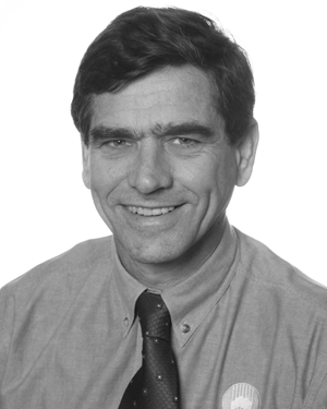 Jock Cunningham合作论文数1A. Lowe合作论文数1
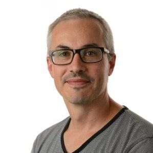 Steven Scheding合作论文数Green Atlas1Katherine L. Silversides合作论文数1
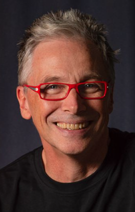 Peter Corke合作论文数School of Electrical Engineering & Robotics, Faculty of Engineering, Queensland University of Technology;Lyro Robotics1Gürçe Isikyildiz合作论文数1
 Eduardo Nebot合作论文数Australian Centre for Field Robotics, The University of Sydney;Acumine1
 Rajmohan Madhavan合作论文数National Institute of Standards & Technology;Intelligent Systems Division1
 Xiuyi Fan合作论文数Lee Kong Chian School of Medicine, Nanyang Technological University;School of Computer Science and Engineering, Nanyang Technological University1Allan Blair合作论文数1
 David Johnson合作论文数Department of Internal Medicine, UT Southwestern Medical Center1
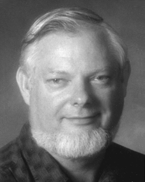 Paul T. Thompson合作论文数1




