Detecting phase arrivals and pinpointing the arrival times of seismic phases in seismograms is crucial for many seismological analysis workflows. For land station data machine learning methods have already found widespread adoption. However, deep learning approaches are not yet commonly applied to ocean bottom data due to a lack of appropriate training data and models. Here, we compiled an extensive and labeled ocean bottom seismometer dataset from 15 deployments in different tectonic settings, comprising 90,000 P and 63,000 S manual picks from 13,190 events and 355 stations. We propose PickBlue, an adaptation ot the two popular deep learning networks EQTransformer and PhaseNet. PickBlue joint processes three seismometer recordings in conjunction with a hydrophone component and is trained with the waveforms in the new database. The performance is enhanced by employing transfer learning, where initial weights are derived from models trained with land earthquake data. PickBlue significantly outperforms neural networks trained with land stations and models trained without hydrophone data. The model achieves a mean absolute deviation (MAD) of 0.05 s for P waves and 0.12 s for S waves. We integrate our dataset and trained models into SeisBench to enable an easy and direct application in future deployments.
The Alaska Amphibious Community Seismic Experiment (AACSE) comprised 75 ocean-bottom seismometers and 30 land stations and covered about 650 km along the segment of the subduction zone that includes Kodiak Island, the Alaska Peninsula and the Shumagin Islands between May 2018 and September 2019. This unprecedented onshore-offshore dataset provided an opportunity to compile a greatly enhanced earthquake catalog for the region by both increasing the number of detected earthquakes and improving the accuracy of their source parameters. We use all available regional and AACSE campaign seismic data to compile an earthquake catalog for the region between Kodiak and the Shumagin Islands including the Alaska Peninsula (51 degrees N-59 degrees N, 148 degrees W-163 degrees W). We apply the same processing and reporting standards to additional picks and events as the Alaska Earthquake Center currently uses for compilation of the authoritative regional earthquake catalog. Over 7200 events (both newly detected and previously reported) have been processed with AACSE data. We added about 30% more events, 60% more phase picks, lowered the magnitude of completeness by about 0.2 on average across the region, and improved location errors. All data have been published in public data archives. In addition, we test the machine-learning earthquake detection and picking algorithm EarthquakeTransformer (EQT) on the AACSE seismic dataset, comparing EQT-determined P and S picks with the new catalog. EQT is entirely trained on land data, whereas AACSE is amphibious. Overall, EQT finds 59% of P and 63% of S arrivals in the catalog within 300 km epicentral distance. The percent of catalog picks detected by EQT varies inversely with earthquake epicentral distance, and EQT performs particularly poorly on data from earthquakes recorded by instruments in the outer rise.
Simple fault models predict earthquake nucleation near the eventual hypocenter (self-nucleation). However, some earthquakes have migratory foreshocks and possibly slow slip that travel large distances toward the eventual mainshock hypocenter (migratory nucleation). Scarce observations of migratory nucleation may result from real differences between faults or merely observational limitations. We use Global Positioning System and passive seismic records of the easily observed daily ice stream earthquake cycle of the Whillans Ice Plain, West Antarctica, to quantify the prevalence of migratory versus self-nucleation in a large-scale, natural stick-slip system. We find abundant and predominantly migratory precursory slip, whereas self-nucleation is nearly absent. This demonstration that migratory nucleation exists on a natural fault implies that more-observable migratory precursors may also occur before some earthquakes.
Icequakes radiating from an ice-stream base provide insights into otherwise difficult to observe sub-kilometer-scale basal heterogeneity. We detect basal icequakes beneath an similar to 3-km-wide seismic sensor network installed on the Whillans Ice Plain (WIP) in West Antarctica, and we use S-wave back-projection to detect and locate thousands of basal icequakes occurring over 14 and 21 days in .January 2014 and 2015, respectively. We find flow-parallel streaks of basal icequakes beneath the WIP, which we conjecture are related to the presence of megascale glacial lineations (MSGLs) indicated by ice-penetrating radar, with at least one streak originating in a local trough adjacent to a MSGL. Patterned basal seismicity can be caused by systematic spatial variation in basal pore pressure, bed-material frictional properties, or both. We interpret these flow-parallel icequake streaks as being due to frictionally heterogeneous bed materials in the presence of a streamlined ice-stream bed: bedform ridges correspond to aseismic, high-porosity deforming till, and some troughs to ephemeral exposures of deeper, seismogenic material such as lodged till or older sediments or rocks. Our results are consistent with MSGL formation by either erosion in troughs to expose deeper seismogenic material, or deposition of aseismic high-porosity till in bedform highs. Our results also suggest that evolving subglacial geomorphology can impact basal traction by reorganizing the spatial distribution of basal materials with varying mechanical properties.
The Alaska Amphibious Community Seismic Experiment (AACSE) is a shoreline-crossing passive- and active-source seismic experiment that took place from May 2018 through August 2019 along an similar to 700 km long section of the Aleutian subduction zone spanning Kodiak Island and the Alaska Peninsula. The experiment featured 105 broadband seismometers; 30 were deployed onshore, and 75 were deployed offshore in Ocean Bottom Seismometer (OBS) packages. Additional strong-motion instruments were also deployed at six onshore seismic sites. Offshore OBS stretched from the outer rise across the trench to the shelf. OBSs in shallow water (<262 m depth) were deployed with a trawl-resistant shield, and deeper OBSs were unshielded. Additionally, a number of OBS-mounted strong-motion instruments, differential and absolute pressure gauges, hydrophones, and temperature and salinity sensors were deployed. OBSs were deployed on two cruises of the RN Sikuliaq in May and July 2018 and retrieved on two cruises aboard the RN Sikuliaq and RN Langseth in August-September 2019. A complementary 398-instrument nodal seismometer array was deployed on Kodiak Island for four weeks in May-June 2019, and an active-source seismic survey on the RN Langseth was arranged in June 2019 to shoot into the AACSE broadband network and the nodes. Additional underway data from cruises include seafloor bathymetry and sub-bottom profiles, with extra data collected near the rupture zone of the 2018 M-w 7.9 offshore-Kodiak earthquake. The AACSE network was deployed simultaneously with the EarthScope Transportable Array (TA) in Alaska, effectively densifying and extending the TA offshore in the region of the Alaska Peninsula. AACSE is a community experiment, and all data were made available publicly as soon as feasible in appropriate repositories.
If the university can be thought of as an incubator for ideas and thought leadership, then each department is a learning ecosystem unto itself. The IDEEAS (Inclusion, Diversity, and Equity in Earth...
The Whillans Ice Plain (WIP) is unique among Antarctic ice streams because it moves by stick-slip. The conditions allowing stick-slip and its importance in controlling ice dynamics remain uncertain. Local basal seismicity previously observed during unstable slip is a clue to the mechanism of ice stream stick-slip and a window into current basal conditions, but the spatial extent and importance of this basal seismicity are unknown. We analyze data from a 2010-2011 ice-plain-wide seismic and GPS network to show that basal micro-seismicity correlates with large-scale patterns in ice stream slip behavior: Basal seismicity is common where the ice moves the least between unstable slip events, with small discrete basal micro earthquakes happening within 10s of km of the central stick-slip nucleation area and emergent basal tremor occurring downstream of this area. Basal seismicity is largely absent in surrounding areas, where inter-slip creep rates are high. The large seismically active area suggests that a frictional sliding law that can accommodate stick-slip may be appropriate for ice stream beds on regional scales. Variability in seismic behavior over inter-station distances of 1-10 km indicates heterogeneity in local bed conditions and frictional complexity. WIP unstable slips may nucleate when stick-slip basal earthquake patches fail over a large area. We present a conceptual model in which basal seismicity results from slip-weakening frictional failure of over-consolidated till as it is eroded and mobilized into deforming till. (C) 2018 Elsevier B.V. All rights reserved.
We identify a unique type of seismic source in the uppermost part of the East Antarctic Ice Sheet recorded by temporary broadband seismic arrays in East Antarctica. These sources, termed "firnquakes," are characterized by dispersed surface wave trains with frequencies of 1-10 Hz detectable at distances up to 1000 km. Events show strong dispersed Rayleigh wave trains and an absence of observable body wave arrivals; most events also show weaker Love waves. Initial events were discovered by standard detection schemes; additional events were then detected with a correlation scanner using the initial arrivals as templates. We locate sources by determining the L2 misfit for a grid of potential source locations using Rayleigh wave arrival times and polarization directions. We then perform a multiple-filter analysis to calculate the Rayleigh wave group velocity dispersion and invert the group velocity for shear velocity structure. The resulting velocity structure is used as an input model to calculate synthetic seismograms. Inverting the dispersion curves yields ice velocity structures consistent with a low-velocity firn layer similar to 100m thick and show that velocity structure is laterally variable. The absence of observable body wave phases and the relative amplitudes of Rayleigh waves and noise constrain the source depth to be less than 20m. The presence of Love waves for most events suggests the source is not isotropic. We propose the events are linked to the formation of small crevasses in the firn, and several events correlate with shallow crevasse fields mapped in satellite imagery.
Slow slip events are now well-established in fault and glacier systems, though the processes controlling slow rupture remain poorly understood. The Whillans Ice Plain provides a window into these processes through bi-daily stick-slip seismic events that displace an ice mass over 100 km long with a variety of rupture speeds observed at a single location. We compare the glacier events with laboratory experiments that have analogous loading conditions. Both systems exhibit average rupture velocities that increase systematically with the pre-rupture stresses, with local rupture velocities exhibiting large variability that correlates well with local interfacial stresses. The slip events in both cases are not time-predictable, but clearly slip-predictable. Local pre-stress may control rupture behavior in a range of frictional failure events, including earthquakes.
AbstractA clean hot-water drill was used to gain access to Subglacial Lake Whillans (SLW) in late January 2013 as part of the Whillans Ice Stream Subglacial Access Research Drilling (WISSARD) project. Over 3 days, we deployed an array of scientific tools through the SLW borehole: a downhole camera, a conductivity–temperature–depth (CTD) probe, a Niskin water sampler, an in situ filtration unit, three different sediment corers, a geothermal probe and a geophysical sensor string. Our observations confirm the existence of a subglacial water reservoir whose presence was previously inferred from satellite altimetry and surface geophysics. Subglacial water is about two orders of magnitude less saline than sea water (0.37–0.41 psu vs 35 psu) and two orders of magnitude more saline than pure drill meltwater (<0.002 psu). It reaches a minimum temperature of –0.55~C, consistent with depression of the freezing point by 7.019 MPa of water pressure. Subglacial water was turbid and remained turbid following filtration through 0.45 µm filters. The recovered sediment cores, which sampled down to 0.8 m below the lake bottom, contained a macroscopically structureless diamicton with shear strength between 2 and 6 kPa. Our main operational recommendation for future subglacial access through water-filled boreholes is to supply enough heat to the top of the borehole to keep it from freezing.
 Slawek Tulaczyk合作论文数Department of Earth and Planetary Sciences, University of California, Santa Cruz16
 Susan Schwartz合作论文数Seismo Lab, University of California, Santa Cruz9
 Douglas Wiens合作论文数Department of Earth and Planetary Sciences, Washington University7Sridhar Anandakrishnan合作论文数Pennsylvania State University5
 Jacob I. Walter合作论文数Department of Earth and Planetary Sciences, University of California5Audrey D. Huerta合作论文数4
 Siegfried Matthew合作论文数Inst Geophys & Planetary Phys, Univ Calif San Diego4
 Richard C. Aster合作论文数Department of Earth and Environmental Science, New Mexico Institute of Mining and Technology4amanda c lough合作论文数3Lucas H. Beem合作论文数Dept Earth Sci, Montana State Univ3
 Emily E Brodsky合作论文数Earth & Planetary Sciences Department, Physical & Biological Sciences Division, University of California3
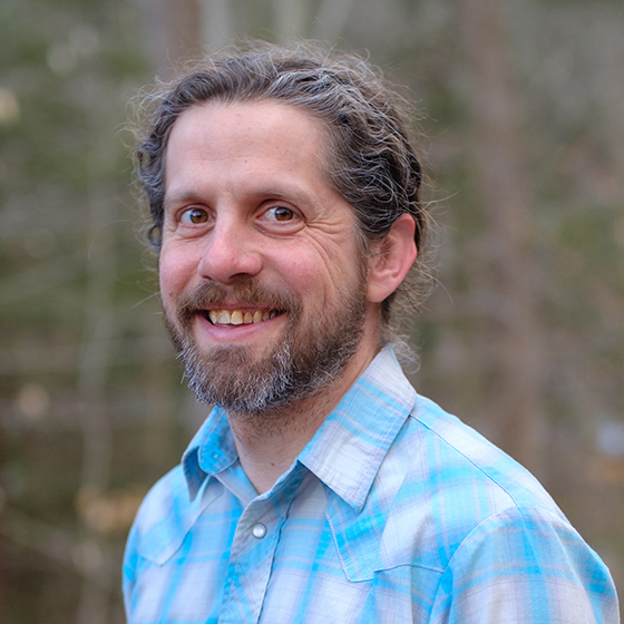 Patrick Fulton合作论文数Earth and Atmospheric Sciences, College of Engineering, Cornell University3
 Reed P. Scherer合作论文数Department of Geological and Environmental Geosciences, Northern Illinois University3
 Andrew Nyblade合作论文数School of Geosciences, The University of the Witwatersrand;Department of Geosciences, College of Earth and Mineral Sciences, Pennsylvania State University3
 Ross Powell合作论文数Department of Geology and Environmental Geosciences, Northern Illinois University3
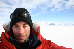 Kenneth D. Mankoff合作论文数3Sarah U. Neuhaus合作论文数2ac lough合作论文数2a nyblade合作论文数2
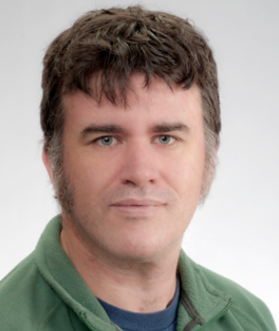 Duncan A. Young合作论文数Institute for Geophysics, Jackson School of Geosciences, University of Texas at Austin2
 Timothy O. Hodson合作论文数US Geol Survey, Cent Midwest Water Sci Ctr2T WILSON合作论文数2
 Emily Roland合作论文数2
 Thomas Wilson合作论文数2
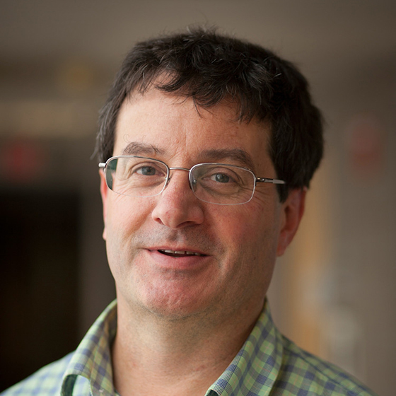 Geoffrey Abers合作论文数Department of Earth and Atmospheric Sciences, Cornell University;Lamont-Doherty Earth Observatory, Columbia University2
 Donald D. Blankenship合作论文数Institute for Geophysics, Jackson School of Geosciences, University of Texas2
 J. Paul Winberry合作论文数Department of Geosciences and EMS Environment Institute, Pennsylvania State University2Robert W. Jacobel合作论文数2
 Jill A. Mikucki合作论文数Department of Land Resources and Environmental Sciences;Montana State University;Department of Land Resources and Environmental Sciences, Montana State University2
 Huw Horgan合作论文数Department of Geosciences, Pennsylvania State University2D. Lange合作论文数1Mitchell Barklage合作论文数1Justin Burnett合作论文数1Ginevra L. Moore合作论文数1
 Zongshan Li合作论文数1
 Elizabeth Eiden合作论文数1
 Evans Awere Onyango合作论文数1
 Patricia MacQueen合作论文数Dept Earth & Atmospher Sci, Cornell Univ1
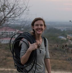 Paula Bürgi合作论文数Dept Earth & Atmospher Sci, Cornell Univ1
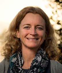 Helen Amanda Fricker合作论文数Scripps Institution of Oceanography, University of California, San Diego;Institute of Geophysics and Planetary Physics, University of California, San Diego1
 Carlos M. Carrillo合作论文数Department of Earth and Atmospheric Sciences, Cornell University1Jack Woollam合作论文数1
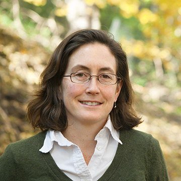 Natalie M. Mahowald合作论文数Department of Earth and Atmospheric Sciences, College of Agriculture and Life Sciences, Cornell University1Peter Hitchcock合作论文数Earth and Atmospheric Sciences, College of Agriculture and Life Sciences, Cornell University1Hamilton Douglas S合作论文数School of Earth and Environment, University of Leeds1
 Junle Jiang (蒋君乐)合作论文数School of Geosciences, Mewbourne College of Earth and Energy, University of Oklahoma1
 Jay Fineberg合作论文数The Racah Institute of Physics, Faculty of Science, The Hebrew University of Jerusalem1
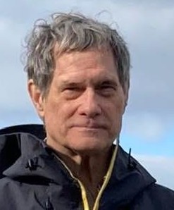 Spahr C. Webb合作论文数Department of Earth and Environmental Sciences, Lamont-Doherty Earth Observatory, Columbia Climate School, Columbia University1
 Andrew T. Fisher合作论文数Department of Earth & Planetary Sciences, University of California, Santa Cruz;Physical & Biological Sciences Division, Institute of Marine Sciences, University of California, Santa Cruz1




