NASA Earth Science Division’s Water and Energy Cycle Focus Area (hereafter, WEC) supports investigations of the distribution, transport, and transformation of water and energy within the Earth system through Earth observing missions, airborne field campaigns, directed research at NASA Centers, competed research programs, and support for the World Climate Research Programme International Global Energy and Water Exchanges (GEWEX) Project. During 2017-2023, WEC supported four field campaigns as part of its Snow EXperiment (SnowEX: https://snow.nasa.gov/snowex) and WEC continues to invest in research that leverages SnowEx data, including Uninhabited Aerial Vehicle Synthetic Aperture Radar (UAVSAR) and Snow Water Equivalent Synthetic Aperture Radar and Radiometer (SWESARR) observations, to advance global satellite-based snow water equivalent (SWE) monitoring and modeling capabilities. Seasonal snowpack dynamics play an integral role in the Earth system by regulating local surface energy budgets, impacting the timing and availability of snowmelt, and consequently, influencing the availability of water for ecosystems and human society. New research suggests that snow variability can also have significant non-local climate impacts. For example, between springtime Tibetan Plateau snow cover and summer US climate.This presentation provides an overview of NASA WEC’s recent and ongoing snow-related research and highlights opportunities for future international participation. We will introduce twelve new research projects that all leverage SnowEx data, four of which will pursue development of global SWE retrievals from the forthcoming NASA-ISRO Synthetic Aperture Radar mission. Then, we will summarize related activities supported across NASA’s Earth Science Division, including land data assimilation and modeling, commercial satellite data evaluation, remote sensing theory, and instrument development. To close, we will suggest potential opportunities for international collaboration that could be facilitated through GEWEX and NASA’s Global Learning and Observations to Benefit the Environment program.
Science and application results appearing in peer-reviewed journal papers in 2021 are highlighted in this paper. With over six years of science data acquisition, science data products of the NASA Soil Moisture Active Passive (SMAP) satellite project are now being applied in diverse subdisciplines in Earth System science. In 2021, there were close to two-hundred papers appearing in peer-reviewed disciplinary journals. In this paper we highlight a few of the research and applications findings that were reported in the calendar year.
The National Aeronautics Space Administration's (NASA`s) Soil Moisture Active Passive (SMAP) mission will be completing its first extension phase in August 2020. The uncertainty of SMAP soil moisture products is≤ 0.04 m 3 /m 3 . During the first extension phase, SMAP data have been used to advance our understanding of water, energy and carbon cycles. Significant progress has also been made to transition the use of SMAP data to operational communities. In particular, the United States Air Force (USAF) and United States Department of Agriculture (USDA) Foreign Agriculture Service (FAS) have included SMAP data in their operational forecast systems. The SMAP project has been performing a recalibration of radiometer data using four years of cold sky maneuver data. The recalibrated data and updated soil moisture and freeze/thaw products will be presented during the meeting. The SMAP project is preparing an extension proposal to continue the data acquisition and processing activities for another three years (2021-2023) and also identifying additional activities for 2024-2026. We will describe the activities for the second extension phase, including plans for SMAPVEX20 and `22 field campaigns.
NASA's Soil Moisture Active Passive (SMAP) Project now has completed its prime-phase (three years) mission and has entered a new five-year extended phase. The global L-band radiometry from SMAP has enabled diverse scientific investigations in water, energy and carbon cycle research, terrestrial ecology and ocean science. These include eliciting the role of soil moisture control on the evaporation regime and vegetation gross primary productivity, observing soil-vegetation continuum water relations, analysis of flood and droughts, climate modeling and weather prediction, detecting ocean high-winds during tropical storms, and observing fresh-water outflow in coastal oceans. This paper highlights the recent enhancements to the SMAP suite of science products (from instrument level-1 to geophysical retrievals level-2 and level-3).
A field campaign was conducted October 30th to November 13th, 2015 with the intention of capturing diurnal soil freeze/thaw state at multiple scales using ground measurements and remote sensing measurements. On four of the five sampling days, we observed a significant difference between morning (frozen scenario) and afternoon (thawed scenario) ground-based measurements of the soil relative permittivity. These results were supported by an in situ soil moisture and temperature network (installed at the scale of a spaceborne passive microwave pixel) which indicated surface soil temperatures fell below 0 degrees C for the same four sampling dates. Ground-based radiometers appeared to be highly sensitive to F/T conditions of the very surface of the soil and indicated normalized polarization index (NPR) values that were below the defined freezing values during the morning sampling period on all sampling dates. The Scanning L-band Active Passive (SLAP) instrumentation, flown over the study region, showed very good agreement with the ground-based radiometers, with freezing states observed on all four days that the airborne observations covered the fields with ground-based radiometers. The Soil Moisture Active Passive (SMAP) satellite had morning overpasses on three of the sampling days, and indicated frozen conditions on two of those days. It was found that > 60% of the in situ network had to indicate surface temperatures below 0 degrees C before SMAP indicated freezing conditions. This was also true of the SLAP radiometer measurements. The SMAP, SLAP and ground-based radiometer measurements all indicated freezing conditions when soil temperature sensors installed at 5 cm depth were not frozen.
Soil moisture is considered a key variable in drought analysis. The soil moisture dynamics given by the change in soil moisture between two time periods can provide information on the intensification or improvement of drought conditions. The aim of this work is to analyze how the soil moisture dynamics respond to changes in drought conditions over multiple time intervals. The change in soil moisture estimated from the Soil Moisture Active Passive (SMAP) satellite observations was compared with the United States Drought Monitor (USDM) and the Standardized Precipitation Index (SPI) over the contiguous United States (CONUS). The results indicated that the soil moisture change over 13-week and 26-week intervals is able to capture the changes in drought intensity levels in the USDM, and the change over a four-week interval correlated well with the one-month SPI values. This suggested that a short-term negative soil moisture change may indicate a lack of precipitation, whereas a persistent long-term negative soil moisture change may indicate severe drought conditions. The results further indicate that the inclusion of soil moisture change will add more value to the existing drought-monitoring products.
Permanently frozen and seasonally frozen soils occur over a large portion of the Earth's land surface. Changes in the freeze/thaw state of the land surface reflects major changes in thermal and hydraulic properties as well as acting as a “switch” for many ecological processes. In short, soil freeze/thaw state is a fundamental land surface variable in the water and energy cycles, and it connects to the carbon cycle. Surface freeze/thaw state is observable by passive and active microwave sensors. For example, NASA's Soil Moisture Active Passive (SMAP) mission includes a freeze/thaw data product. Such satellite sensing offers routine all-season and all-weather global observations of soil freeze/thaw state with the application of suitable algorithms. We describe early finding from the SLAPex Freeze/Thaw campaign, believed to be the first airborne campaign of its type, focusing on soil freeze/thaw.
The Soil Moisture Active Passive (SMAP) observatory was launched January 31, 2015, and its L-band radiometer and radar instruments became operational during April 2015. This paper provides a summary of the quality assessment of its baseline soil moisture and freeze/thaw products as well as an overview of new products. The first new product explores the Backus Gilbert optimum interpolation based on the oversampling characteristics of the SMAP radiometer. The second one investigates the disaggregation of the SMAP radiometer data using the European Space Agency's Sentinel-1 C-band synthetic aperture radar (SAR) data to obtain soil moisture products at about 1 to 3 km resolution. In addition, SMAP's L-band data have been found useful for many scientific applications, including depictions of water cycles, vegetation opacity, ocean surface salinity and hurricane ocean surface wind mapping. Highlights of these new applications will be provided.
SnowEx is a multi-year airborne snow campaign with the primary goal of addressing the question: How much water is stored in Earth's terrestrial snow-covered regions? Year 1 (2016-17) focused on the distribution of snow-water equivalent (SWE) and the snow energy balance in a forested environment. The year 1 primary site was Grand Mesa and the secondary site was the Senator Beck Basin, both in western, Colorado, USA. Nine sensors on five aircraft made observations using a broad range of sensing techniques-active and passive microwave, and active and passive optical/ infrared-to determine the sensitivity and accuracy of these potential satellite remote sensing techniques, along with models, to measure snow under a range of forest conditions. SnowEx also included an extensive range of ground truth measurements-in-situ manual samples, snow pits, ground based remote sensing measurements, and sophisticated new techniques. A detailed description of the data collected will be given and some preliminary results will be presented.
Soil freezing and thawing is an important process in the terrestrial water, energy, and carbon cycles, marking the change between two very different hydraulic, thermal, and biological regimes. NASA's Soil Moisture Active/Passive (SMAP) mission includes a binary freeze/thaw data product. While there have been ground-based remote sensing field measurements observing soil freeze/thaw at the point scale, and airborne campaigns that observed some frozen soil areas (e.g., BOREAS), the recently-completed SLAPex Freeze/Thaw (F/T) campaign is the first airborne campaign dedicated solely to observing frozen/thawed soil with both passive and active microwave sensors and dedicated ground truth, in order to enable detailed process-level exploration of the remote sensing signatures and in situ soil conditions. SLAPex F/T utilized the Scanning L-band Active/Passive (SLAP) instrument, an airborne simulator of SMAP developed at NASA's Goddard Space Flight Center, and was conducted near Winnipeg, Manitoba, Canada, in October/November, 2015. Future soil moisture missions are also expected to include soil freeze/thaw products, and the loss of the radar on SMAP means that airborne radar-radiometer observations like those that SLAP provides are unique assets for freeze/thaw algorithm development. This paper will present an overview of SLAPex F/T, including descriptions of the site, airborne and ground-based remote sensing, ground truth, as well as preliminary results.
The Soil Moisture Active Passive (SMAP) observatory was launched January 31, 2015, and its L-band radiometer and radar instruments became operational during April 2015. The SMAP radiometer has been operating flawlessly, however the radar transmitter ceased operation on July 7. This paper provides a summary of the calibration and validation of the SMAP instruments and the current quality assessment of its soil moisture and freeze/thaw products. Since the loss of the radar, the SMAP project has been conducting two parallel activities to enhance the resolution of its soil moisture products. The first explores the Backus Gilbert optimum interpolation and de-convolution techniques based on the oversampling characteristics of the SMAP radiometer. The second investigates the disaggregation of the SMAP radiometer data using the European Space Agency's Sentinel-1 C-band synthetic aperture radar (SAR) data to obtain soil moisture products at about 1 to 3 km resolution. In addition, SMAP's L-band data have been found useful for many applications, including vegetation opacity, ocean surface salinity and hurricane ocean surface wind mapping. Highlights of these new applications will be provided.
 Paul R. Houser合作论文数NASA Goddard Space Flight Center24
 Dara Entekhabi合作论文数Department of Civil and Environmental Engineering, School of Engineering, Massachusetts Institute of Technology;Department of Earth, Atmospheric, & Planetary Sciences, School of Science, Massachusetts Institute of Technology24
 Peggy O'Neill合作论文数Hydrological Sciences Laboratory, Goddard Space Flight Center, NASA;Jet Propulsion Laboratory, NASA18
 Eni G. Njoku合作论文数Jet Propulsion Laboratory17
 Simon Yueh合作论文数Jet Propulsion Laboratory, California Institute of Technology15
 Alan Robock合作论文数Center for Population-Level Bioethics, Rutgers University;Department of Environmental Sciences, School of Environmental and Biological Sciences, Rutgers University12
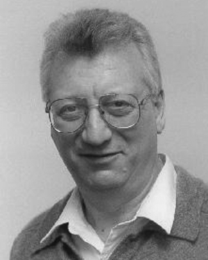 Konstantin Y. Vinnikov合作论文数Department of Meteorology, University of Maryland10
 Kent H. Kellogg合作论文数Jet Propulsion Laboratory, NASA8
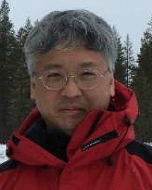 Edward J. Kim合作论文数8
 D. L. Toll合作论文数6B. Cosgrove合作论文数6
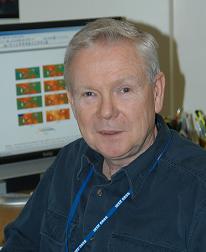 Thomas Jackson合作论文数Hydrology and Remote Sensing Laboratory, Beltsville Agricultural Research Center, Agricultural Research Service, United States Department of Agriculture6
 Kyle C. Mcdonald合作论文数Department of Earth and Atmospheric Sciences, City College of New York, City University of New York;Jet Propulsion Laboratory, Keck Institute for Space Studies, California Institute of Technology;Joint Institute for Regional Earth System Science and Engineering, University of California at Los Angeles6
 Eric Wood合作论文数Department of Civil and Environmental Engineering, Princeton University5
 Matthew Rodell合作论文数NASA Goddard Space Flight Center5
 Kristi Arsenault合作论文数Hydrol Sci Lab, Goddard Space Flight Ctr5Samuel W Thurman合作论文数4
 Randal Koster合作论文数Goddard Space Flight Center, National Aeronautics and Space Administration4
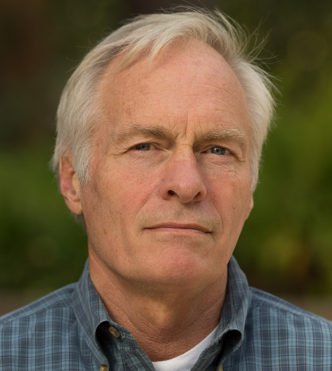 Dennis Lettenmaier合作论文数Department of Geography, Division of Social Sciences, College of Letters and Science, University of California, Los Angeles4Robert A. Schiffer合作论文数4
 Jeffrey R. Piepmeier合作论文数Instrument Systems and Technology Division, NASA’s Goddard Space Flight Center4
 Molly Elizabeth Brown合作论文数Biospheric Sciences Branch, NASA4
 Rolf H Reichle合作论文数Global Modeling and Assimilation Office, Goddard Space Flight Center, National Aeronautics and Space Administration4N. D. Searby合作论文数3u jambor合作论文数3brad doorn合作论文数3rick lawford合作论文数3K Mitchell合作论文数3
 Jiancheng Shi (施建成)合作论文数National Space Science Center, Chinese Academy of Sciences;University of Chinese Academy of Sciences3
 Vanessa M Escobar合作论文数3Jarrett Powers合作论文数3
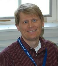 Wade Crow合作论文数USDA-ARS Hydrology and Remote Sensing Laboratory3
 Rachel Pinker合作论文数Department of Atmospheric and Oceanic Science, College of Computer, Mathematical & Natural Sciences, University of Maryland3
 Dev Niyogi合作论文数Department of Earth and Planetary Sciences, Jackson School of Geosciences, University of Texas at Austin;Department of Civil, Architectural, and Environmental Engineering, Cockrell School of Engineering, University of Texas at Austin;Purdue University3Suxia Liu (刘苏峡)合作论文数3
 Rajat Bindlish合作论文数Hydrol & Remote Sensing Lab, USDA ARS3
 Joel T. Johnson合作论文数Department of Electrical and Computer Engineering, Ohio State University3
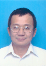 Leung Tsang合作论文数Department of Electrical Engineering and Computer Science, College of Engineering, University of Michigan3David Toll合作论文数3
 Alexandre Roy合作论文数UMR1019, INRA3
 Ludovic Brucker合作论文数Center for Satellite Applications and Research, National Oceanic and Atmospheric Administration;Satellite Oceanography and Climatology Division, National Oceanic and Atmospheric Administration3
 Jack Kaye合作论文数Earth Science Division, Science Mission Directorate, NASA3
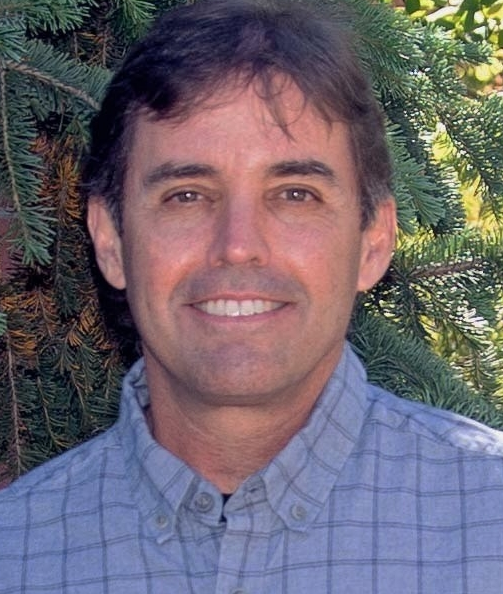 John S. Kimball合作论文数Department of Ecosystem and Conservation Sciences, WA Franke College of Forestry and Conservation, University of Montana3
 M. Susan Moran合作论文数3
 C. Adam Schlosser合作论文数Center for Global Change Science, Massachusetts Institute of Technology3Dag Lohmann合作论文数NCEP Environmental Modeling Center, NOAA/NWS3
 Chris Derksen合作论文数Climate Research Division, Environment and Climate Change Canada3
 Jakob J. van Zyl合作论文数Jet Propulsion Laboratory, California Institute of Technology3
 Aaron Berg合作论文数Department of Geography, Environment & Geomatics, College of Social and Applied Human Sciences, University of Guelph;Hydrology and Remote Sensing Lab, University of Guelph3




