Aims: Understanding fine- grain diversity patterns across large spatial extents is fundamental for macroecological research and biodiversity conservation. Using the GrassPlot database, we provide benchmarks of fine- grain richness values of Palaearctic open habitats for vascular plants, bryophytes, lichens and complete vegetation (i.e., the sum of the former three groups). Location: Palaearctic biogeographic realm. Methods: We used 126,524 plots of eight standard grain sizes from the GrassPlot database: 0.0001, 0.001, 0.01, 0.1, 1, 10, 100 and 1,000 m 2 and calculated the mean richness and standard deviations, as well as maximum, minimum, median, and first and third quartiles for each combination of grain size, taxonomic group, biome, region, vegetation type and phytosociological class. Results: Patterns of plant diversity in vegetation types and biomes differ across grain sizes and taxonomic groups. Overall, secondary (mostly semi- natural) grasslands and natural grasslands are the richest vegetation type. The open- access file ”GrassPlot Diversity Benchmarks” and the web tool “GrassPlot Diversity Explorer” are now available online (https://edgg.org/datab ases/Grass landD ivers ityEx plorer) and provide more insights into species richness patterns in the Palaearctic open habitats. Conclusions: The GrassPlot Diversity Benchmarks provide high- quality data on species richness in open habitat types across the Palaearctic. These benchmark data can be used in vegetation ecology, macroecology, biodiversity conservation and data quality checking. While the amount of data in the underlying GrassPlot database and their spatial coverage are smaller than in other extensive vegetation- plot databases, species recordings in GrassPlot
Complex social-ecological systems (SES), especially systems with common pool resources, often exhibit system dynamics characterized by emergence, where system properties cannot be fully explained by input variables. This causes challenges when it comes to explaining resource use problems because problem dynamics can differ from case to case despite similar input variables. Archetype analysis with its focus on identifying building blocks of nature-society relations might provide a means to tackle emergence and complexity in the analysis of resource use problems in SES. Using data from inter- and transdisciplinary research investigating comparative case studies on common village pasture management in the Caucasus region, we use the archetype approach with a focus on system archetypes that place particular emphasis on recognizing recurrent structures and internal dynamics. We apply three system archetypes, the Tragedy of the Commons, Shifting the Burden, and Success to the Successful, to different aspects of interlinked management problems that occur repeatedly in the case study data. Using SES variables characterizing the cases, we discuss variable combinations that may trigger specific dynamics. Moreover, we explore interlinkages between archetypical problems and discuss possible solutions based on self-governance. We find that the archetype approach with a focus on system archetypes resulted in consistent explanations of problem dynamics leading to important additional insights into root causes and internal archetypical dynamics compared with existing knowledge. Regarding problem solutions and policy recommendations, we show that viewing archetypical problems as interlinked in their actual case-study context leads to different recommendations than when each archetype is viewed on its own.
GrassPlot is a collaborative vegetation-plot database organised by the Eurasian Dry Grassland Group (EDGG) and listed in the Global Index of Vegetation-Plot Databases (GIVD ID EU-00-003). Following a previous Long Database Report (Dengler et al. 2018, Phytocoenologia 48, 331–347), we provide here the first update on content and functionality of GrassPlot. The current version (GrassPlot v. 2.00) contains a total of 190,673 plots of different grain sizes across 28,171 independent plots, with 4,654 nested-plot series including at least four grain sizes. The database has improved its content as well as its functionality, including addition and harmonization of header data (land use, information on nestedness, structure and ecology) and preparation of species composition data. Currently, GrassPlot data are intensively used for broad-scale analyses of different aspects of alpha and beta diversity in grassland ecosystems.
Remote sensing based grassland carrying capacity assessments are not commonly applied in rangeland management. Possible reasons for this include non-equilibrium thinking in rangeland management, and the costliness of existing remotely sensed biomass estimation that carrying capacity assessments require. Here, we present a less demanding approach for grassland biomass estimation using the MODIS Net Primary Production (NPP) product and demonstrate its use in carrying capacity assessment over the mountain grasslands of Azerbaijan. Based on publicly available estimates of the fraction of total NPP partitioned to aboveground NPP (fANPP) we calculate the aboveground biomass produced from 2005 to 2014. Validation of the predicted aboveground biomass with independent field biomass data collected in 2007 and 2008 confirmed the accuracy of the aboveground biomass product and hence we considered it appropriate for further use in the carrying capacity assessment. A first assessment approach, which allowed for consumption of 65% of aboveground biomass, resulted in an average carrying capacity of 12.6 sheep per ha. A second more realistic approach, which further restricted grazing on slopes steeper than 10%, resulted in a stocking density of 6.20 sheep per ha and a carrying capacity of 3.93 million sheep. Our analysis reveals overgrazing of the mountain grasslands because the current livestock population which consists of at least 8 million sheep, 0.5 million goats and an unknown number of cattle exceeds the predicted carrying capacity of 3.93 million sheep. We consider that the geographically explicit advice on sustainable stocking densities is particularly attractive to regulate grazing intensity in geographically varied terrain such as the mountain grasslands of Azerbaijan. We further conclude that the approach, given its generic nature and the free availability of most input data, could be replicated elsewhere. Hence, we advise considering its use where traditional carrying capacity assessments are difficult to implement.
Questions: Which are the main sub-alpine and alpine grassland communities in the northeastern Greater Caucasus of Azerbaijan and what are their environmental and anthropogenic drivers?Location: Grasslands at 1800 and 3500 m a.s.l. on northern macroslope of the Greater Caucasus in Azerbaijan near Shahdag Mt.Methods: We established a randomized sampling design with stratification by geomorphology and altitude and validation using remote sensing data. The vegetation survey on 194 releves in a nested plot design of up to 100 m(2) encompassed examiniation of various site conditions. We applied cluster and indicator species analysis for vegetation classification, and indirect multivariate ordination to assess vegetation-environment relationships.Results: We classified 13 unranked communities in two sub-alpine groups and one alpine group, plus the very distinct vegetation around camp sites of semi-nomadic herders. Important drivers for vegetation differentiation are altitude as proxy for temperature, latitude as proxy for orographically founded differences in bedrock and precipitation, aspect, soil factors, such as content of organic matter and variables connected to land-use types and intensity (e.g. pasturing vs hay meadows, browsing tracks). In consequence, also effects on species richness are detectable. Furthermore, we found only partial concordance of our communities with existing vegetation classifications in the Greater Caucasus.Conclusions: A state-of-the-art classification and ordination of regional high-mountain grassland communities and their environmental drivers fills a gap in knowledge about this vegetation. It is widely unknown to international audience and remained almost unstudied during the last 25 yr, when severe shifts in land use remarkably changed the natural conditions. The study can help to identify problems in current grassland management and their consequences for biodiversity conservation. Desirable changes towards sustainable grassland utilization require combined socio-ecological assessments beforehand.
Ecological damage caused by unadjusted and raised stocking rates are persistent problems in grazed mountain areas in developing countries, including in post-Soviet Asia. An assessment of this degradation is difficult due to site heterogeneity and insufficient knowledge about the grazing systems. We present an integrated appraisal of the potential stocking rates of sites based on physical site properties. We combine these ecological and agrarian analyses with the economic calculation of opportunity costs in scenarios. We apply this approach to a high mountain region in the eastern Greater Caucasus in Azerbaijan, which provides valuable ecosystem services and is heavily used as summer pasture by mobile pastoralists. Hence, an impact assessment of reducing the legal prescriptions of stocking rates or the calculation of payments for ecosystem services is possible. Our results show that stocking rates on many pastures are spatially unadjusted and destocking measures need to be implemented in order to preserve ecosystem services. We also discuss different distribution possibilities of the opportunity costs.
The outstanding phytodiversity of the Caucasus region is partly threatened by livestock grazing.In the study "Proper Utilisation of Grasslands in Azerbaijan's Steppe and Mountains: an Ecological and Socio-Economic Assessment to Avoid Overgrazing and to Ensure Sustainable Rural Development" funded by the Volkswagen Foundation, we assessed on 222 plots in the years 2007 and 2008 the effects of grazing on high mountain grassland vegetation, species composition and the productivity.The relevés have been assigned to 13 unranked communities in four main groups: five xerophytic subalpine communities (mainly innermontane/ southern slopes), three mesophytic subalpine communities (mainly northern slopes), one community of nitrophilous camp site lawns and four alpine communities (publication in prep.).
 Michael Manthey合作论文数5Regina Neudert合作论文数3Tobias Ceulemans合作论文数2
 E. Belonovskaya合作论文数2Eulàlia Pladevall-Izard合作论文数2Nadezda Tsarevskaya合作论文数2
 Lei Deng (邓蕾)合作论文数University of Chinese Academy of Sciences;Institute of Soil and Water Conservation, Chinese Academy of Sciences & Ministry of Water Resources2Dariia Shyriaieva合作论文数National Academy of Sciences of Ukraine2
 Laura Cancellieri合作论文数Dept Agr & Forest Sci DAFNE, Univ Tuscia2Anna Wróbel合作论文数Ryvu Therapeut SA2
 Galina Savchenko合作论文数Dept Zool & Anim Ecol, Kharkov Natl Univ2
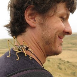 Philipp Kirschner合作论文数Department of Ecology, University of Innsbruck, Technikerstraße 25, 6020, Innsbruck, Austria. philipp.kirschner@gmail.com.2Łukasz Kozub合作论文数2Iwona Dembicz合作论文数2Csaba Tölgyesi合作论文数2
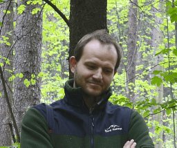 Remigiusz Pielech合作论文数University of Agriculture2Sebastian Swierszcz合作论文数Franciszek Gorski Inst Plant Physiol, Polish Acad Sci2Marek Malicki合作论文数2
 Denys Vynokurov合作论文数Dept Bot & Zool, Masaryk Univ2
 Emelie Walden合作论文数Stockholm Univ, Dept Phys Geog, Biogeog & Geomat, S-10691 Stockholm, Sweden2Pavel Dřevojan合作论文数2Grzegorz Swacha合作论文数Corresponding author.2
 Kuber Prasad Bhatta合作论文数Dept Biol Sci, Univ Bergen2
 Anna Kuzemko合作论文数MG Kholodny Inst Bot, Natl Acad Sci Ukraine2
 Jutta Kapfer合作论文数Norwegian Institute of Bioeconomy Research2
 Martin Magnes合作论文数Divison Plant Sci, Karl Franzens Univ Graz2
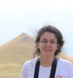 Salza Palpurina合作论文数Bulgarian Acad Sci, Natl Museum Nat Hist2
 Koenraad Van Meerbeek合作论文数Division Forest, Nature and Landscape, Department of Earth and Environmental Sciences, KU Leuven, Leuven, Belgium2
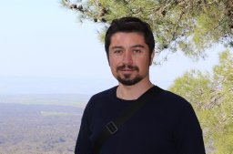 Behlül Güler合作论文数Biology Education, Dokuz Eylul University2
 Michele Aleffi合作论文数2
 Steffen Boch合作论文数Institute of Plant Sciences, University of Bern;Botanical Garden, University of Bern;University of Bern, University of Bern2
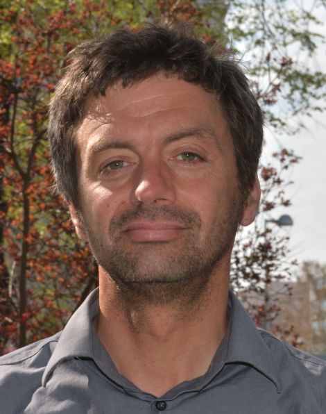 Franz Essl合作论文数Department of Botany and Biodiversity Research, Faculty of Life Sciences, University of Vienna2
 Arkadiusz Nowak合作论文数2
 Marcin Nobis合作论文数2
 Angela Lomba合作论文数2
 András Kelemen合作论文数University of Debrecen2
 John Arvid Grytnes合作论文数Department of Biological Sciences, University of Bergen2
 Sebastian Patrick Wolfrum合作论文数2
 Csergő Anna Mária合作论文数Department of Horticulture, Sapientia University;Department of Botany and Biodiversity Research Centre, University of British Columbia;Sapientia University, University of British Columbia2
 Jiménez-Alfaro Borja合作论文数2
 Jan Lepš合作论文数Department of Botany, Faculty of Science, University of South Bohemia in Ceske Budejovice2
 Christian Pedersen合作论文数2
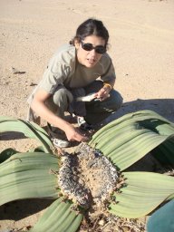 Idoia Biurrun合作论文数University of the Basque Country Department of Plant Biology and Ecology (Botany), Faculty of Sciences Ap. 644 E-48080 Bilbao Spain2Klaus Ecker合作论文数2
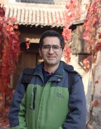 Alireza Naqinezhad合作论文数Department of Biology;Faculty of Science;University of Mazandaran;Faculty of Science, University of Mazandaran2
 Annika K. Jagerbrand合作论文数Department of Plant and Environmental Sciences, Göteborg University2
 Marcenò Corrado合作论文数Department of Botany and Zoology, Masaryk University2
 Eliane S. Meier合作论文数2
 Jan Rolecek合作论文数Department of Botany and Zoology, Masaryk University2




