Based on grid percentage land cover data of 1988, 1995, 2000, 2005, and 2010, the spatial and temporal variation of urban and construction land in Chengdu City was analyzed using spatial analysis and statistical techniques based on ArcGIS, excel and other software. The results showed that: In 2010, the urban and construction land area reached 1841.98 km 2 , and mainly distributed in the central area of Chengdu City. During 1988-2010, the urban and construction land in Chengdu showed increasing trend, with the largest increase occurring during 2005-2010. After 2000, the city entered a period of rapid expansion, and the turn-in area increased significantly. The turn-out area was largest during 1988-1995, benefiting from land consolidation and transformation at this stage. Magnitude of the changes in urban and construction land showed increase trend during 1988-2010, especially after 2000. In the future, it is suggested to speed up the development in surrounding counties (districts) and to rationalize the allocation of urban land use. In central urban areas, refined planning and transformation should be paid more attention to meet the needs of future urban development.
The real-time visualization of large-scale terrain is a very complex and challenging problem, as the increasing resolution of geometry and texture has greatly exceeded the rendering capabilities of the available hardware. This is an active research area, and has attracted the interest of researchers for decades. To solve this problem, LOD-based algorithms of various forms have been proposed. These aim to reduce the complexity of the geometry and decrease the number of triangles that must be rendered. In this paper we will mainly focus on LOD generation, data scheduling and terrain popping, and put forward a new approach for terrain rendering. To promote rendering efficiency, we will take advantage of the programmability of GPU and immigrate some algorithms from CPU to GPU.
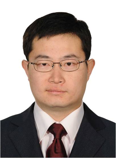 Duanyang Xu (许端阳)合作论文数University of Chinese Academy of Sciences;Institute of Geographic Sciences and Natural Resources Research, Chinese Academy of Sciences2
 Wei Cao (曹巍)合作论文数2
 Lin Huang (黄麟)合作论文数Institute of Geographic Sciences and Natural Resources Research, Chinese Academy of Sciences;University of Chinese Academy of Sciences2
 Yunfeng Hu (胡云峰)合作论文数Institute of Geographic Sciences and Natural Resources Research, Chinese Academy of Sciences;University of Chinese Academy of Sciences2Lulu Liu合作论文数1
 Hongyan Ren (任洪艳)合作论文数School of Environment and Civil Engineering, Jiangnan University1




