Although the deployment of 5G networks in urban environments is currently underway, rural areas suffer from cellular coverage limitations due to the poor deployment of 5G infrastructure. This fact directly affects use cases related to technology development in rural communities. As a result, key performance indicators may not meet minimums to satisfy a certain service, such as connectivity for livestock transport. As a strategy to improve the reliability of communications, the use of packet duplication through several cellular networks is proposed in order to increase robustness in areas with coverage issues. This study, which emulates livestock transport conditions through an experimental drive test across Denmark and Germany, demonstrates how packet duplication improves reliability for 4G/5G networks concerning latency Round-Trip Time and DL/UL throughput, on routes driven by livestock transport trucks.
Forage harvesting is a critical agricultural practice that ensures prompt crop collection to maintain nutritional quality and economic viability. However, operating heavy machinery on sensitive field areas can lead to soil compaction, which may subsequently reduce crop yields. This study presents a comprehensive evaluation of advanced optimization techniques for capacitated multi-objective route planning in agricultural fields. Two algorithms including Non-Dominated Sorting Genetic Algorithm II (NSGA-II) and a novel Stochastic Greedy Algorithm (SGA) are compared within a parallel computing environment designed to significantly reduce computation time. By leveraging an innovative approach to three-dimensional capacitated route planning, the proposed method eliminates traditional block-based around the obstacle for the first time, thereby expanding the solution space and enabling the exploration of track combinations across entire fields. Experimental results demonstrate that the SGA reduced non-working distance by up to 41
With the structural transformation of agriculture, it is getting increasingly important to consider the readiness of arable land when planning and scheduling machine operations. This is to ensure that the operations produce positive results to crops and soil, while not causing damage to soil. Taking the readiness of arable land parameters into account paves the ground for executing field operations at opportune times. Determining the readiness of arable land is widely affected by stochastic factors such as soil water content and meteorological information and some variables associated with trafficability, workability, and completion criteria along with soil characteristics. This paper presents the development of stochastic optimization and statistical learning models implemented as a decision model that assists the farmers in optimal timing of tillage operations on a day-to-day basis. The optimization model is a finite horizon Markov decision process modelling execution of tillage operations at opportune time based on information acquired from a mechanistic model simulation of agricultural fields and historical and forecast meteorological data. Moreover, a Gaussian state space model predicts the future soil water content of the field using a Bayesian updating approach, which is embedded into the optimization model. Numerical examples are given to show the functionality of the model. The prediction of optimal timing of two operations, tillage and seeding, has been well aligned with the practical experiences of the selected arable land.
The purpose of this paper is to examine the role of digital transformation in the agri-food sector. The study emphasizes digitalization as both an enabler of production efficiency and a radical innovator, redesigning business models and agricultural practices. The study explores the development of applications and products that connect consumers, supply chain actors, and producers, leading to customized food products. It highlights the notion of circular agri-food systems for feedback loops in the value chain, minimizing waste and integrating environmental and social values. Also, the paper explores the challenges in digital adoption, including technical barriers, privacy, and security concerns. To overcome these challenges, an interdisciplinary approach is proposed, merging technological, ecological, economic, and governance insights. Key needs identified for successful digital transformation include enhanced data processing, technological convergence, sustainability awareness, interoperability, and user adoption. The conclusion stresses the importance of invoking systemic thinking, user-friendly designs, and interdisciplinary collaboration in making sure that digital innovations enable a sustainable and resilient food production system.
Operational planning, automation, and optimisation of field operations are ways to sustain the production of food and feed. A coverage path planning method mitigating the optimisation and automation of harvest operations, characterised by capacity limitations and features derived from real world scenarios, is presented. Although prior research has developed similar methods, no such methodologies have been developed for (i) multiple field entrances as line segments, (ii) the feasibility of stationary and on-the-go unloading in the headland and main field, (iii) unloading timing independent of the full bin level of the harvester, and (iv) the transport unit operational time outside the field. To find the permutation that best minimises the costs in time and distance, an artificial bee colony (ABC) algorithm was used as a meta-heuristic optimisation method. The effectiveness of the method was analysed by generating simulated operational data and by comparing it to recorded data from seven fields ranging in size (5–26 ha) and shape. The implementation of controlled traffic farming (CTF) in the coverage path planning method, but not with the recorded data, resulted in a reduced risk of soil compaction of up to 25%, and a reduction in the in-field total travel distance of up to 15% when logistics was optimised simultaneously for two transport units. A 68% increase in the full load frequency of transporting vehicles and a 14% reduction in the total number of field to storage transports was observed. For fields located at outermost edges of the storage facility (>5 km), the increase in full load frequency, average load level, and decrease in in-field travel distance resulted in a reduction in fuel consumption by 7%. Embedding the developed coverage path planning software as a service will improve the sustainability of harvest operations including a fleet of one to many harvesting and transporting units, as the system in front of the vehicle operator calculates and displays all required actions from the operator.
Data-driven agriculture and Internet of Farming (IoF) require reliable communication systems. Nowadays, only some of the key use cases demanded by the agricultural industry verticals get support from multiple state of the art wireless technologies such as 4G, Wi-Fi, or Low Power Wide Area Network (LPWAN) technologies, combined with satellite and cloud access. However, the ones demanding very high data rates or very low latency are still not feasible. With 5G, designed for flexible support of Extreme Mobile Broadband (xMBB), Massive Machine-Type Communications (mMTC) and Ultra-reliable Machine-Type Communications (uMTC), more agricultural use cases will be possible. This paper provides a reference list of data-driven agriculture scenarios and use cases with their associated communication requirements, and whose feasibility is evaluated in a live 5G trial performed in a representative rural area scenario in the south of Denmark. The paper details a reference methodology for assessing 5G Quality of Service (QoS), including multi-connectivity schemes and reports the empirical 5G performance results, which are put in perspective of the requirements for the different IoF reference scenarios. The empirical results indicate that early 5G deployments are already capable of reliably serving data-driven agriculture vertical use cases such as those related to agricultural logistics or configuration of machinery and diagnostics in 65.8-99% of the cases; but it will be necessary to wait for 5G network upgrades and coming 5G Releases in order to operate the more low latency demanding use cases.
Agricultural injuries are a valuable social sustainability indicator. However, current methods use sector-scale production data, so are unable to assess the impact of changes in individual farming practices. Here, we developed a method that adopts a life cycle approach to quantify the number of serious injuries during agricultural production processes and assess the potential impact of changes in agricultural practices. The method disaggregates agricultural production into operations and estimates the contribution each operation makes to the frequency of different types of injuries. The method was tested using data collected by survey during an expert workshop in which sixteen participants were asked to estimate the parameters related to typical dairy cattle and pig farms. Parameter estimates for specific operations varied considerably between participants, so normalized values were used to disaggregate sector-scale statistics to production operations. The results were in general agreement with the results from other studies. Participants found it challenging to quantify the potential effect of new technologies. Provided suitable empirical statistical data are available, the method can be used to quantify the risk of injury associated with individual products and provide an ex-ante assessment of future developments in farming practices.
During a baling operation, the operator of the baler should decide when and where to drop the bales in the field to facilitate later retrieval of the bales for transport out of the field. Manually determining the time and place to drop a bale creates extra workload on the operator and may not result in the optimum drop location for the subsequent front loader and transport unit. Therefore, there is a need for a tool that can support operators during this decision process. The key objective of this study is to find the optimal traversal sequence of fieldwork tracks to be followed by the baler and bale retriever to minimize the non-working driving distance in the field. Two optimization processes are considered for this problem. Firstly, finding the optimal sequence of fieldwork tracks considering the constraints of the problem such as the capacity of the baler and the straw yield map of the field. Secondly, finding the optimal location and number of bales to drop in the field. A simulation model is developed to calculate all the non-productive traversal distances by baler and bale retrieval in the field. In a case study, the collected positional and temporal data from the baling process related to a sample field were considered. The output of the simulation model was compared with the conventional method applied by the operators. The results show that application of the proposed method can increase efficiency by 12.9% in comparison with the conventional method with edited data where the random movements (due to re-baling, turns in the middle of the swath, reversing, etc.) were removed from the data set.
Advanced systems for manned and/or agricultural vehicles—such as systems for auto-steering, navigation-adding, and autonomous route planning—require new capabilities in terms of the internal representation for the autonomous system of the working space; that is, the generation of a metric map that provides by numerical parameters any operation-related entity of the working space. In this paper, a real-time approach was developed for the generation of the field metric map, based on a row generation method (polygons-based geometry). The approach can deal with fields with or without in-field obstacles, where the generated field-work tracks can be either straight or curved. The functionality of the approach was demonstrated on 12 fields with different number of obstacles ranging from one to six. The test results showed that the computational times were in the range of 0.26–24.51 s. The presented tool brings a number of advancements on the process of generating a metric map for arable farming field operations, including the real-time generation feature, the potential to deal with multiple-obstacle areas, and the reduction in the overlapped area.
In inversion tillage systems, the mouldboard plough is fundamental for producing a desirable seedbed. The desired ploughing quality is achieved when the plough layer is inverted homogeneously. This is, however, difficult to obtain in the main-headland intersection zone where the plough is lowered and elevated, as ploughed and unploughed triangles are formed. This results in zones where the soil is inverted twice, which may result in poor residue and weed incorporation and a poor seedbed quality. The design of the three-point linkage-attached mouldboard plough has not changed since the 1950s, but the number of furrows has increased, which has increased the size of the aforementioned triangles. A novel ploughing system was introduced to meet these headland challenges, where each plough section can be lowered and elevated independently. The aim of this study was to evaluate the effects of using a section-controlled mouldboard plough. Two similarly designed, randomized, field plot experiments were conducted on two different soil types (sandy loam and loamy sand) on a stubble field and grass field. The study showed that the section-controlled plough reduced the main-headland overlap area by 98%. The results of a range of soil physical properties measurements and seedbed quality analyses showed that the section-controlled plough created a homogeneous loosened seedbed quality, improving the incorporation of crop residues and leaving fewer residues on the soil surface. Furthermore, the section-controlled plough showed additional benefits, for example wedge operations and visual line marking.
Increased farm machinery weight in agricultural production results in soil compaction. Controlled traffic farming (CTF) restricts traffic to permanent lanes, thereby creating traffic free beds for crop production. Field experiments were conducted at two organic vegetable farms in Denmark, on a sandy loam (2013-2016) and on coarse sand (2013-2015) to investigate CTF effects compared with random traffic farming (RTF) on vegetable yield, root growth, and soil mineral nitrogen (N). Root growth was measured using minirhizotrons. White cabbage, potato, and beetroot yield increased by 27%, 70% and 42%, respectively, in CTF compared with RTF in 2015 and winter squash indicated a yield increase of 43% on sandy loam in 2016. White cabbage (2015) and potato, beetroot and winter squash (2016) grew 2-25 times more roots and beetroot grew deeper roots under CTF compared with RTF on sandy loam in 2016. On coarse sandy soil, beetroot root frequency was 1.4 times greater under CTF than under RTF and beetroot roots grew deeper than 1.5 m under both treatments in 2015. Soil mineral N and potential net N mineralization were equal between treatments or higher in CTF by 2-41 kg ha(-1) and 11 mg kg(-1) 35 days(-1), respectively, indicating N supply was maintained or increased in this system. Despite the variability in crop and root growth responses to traffic between years and crops, the effects were always equal or positive for CTF following treatment implementation. Therefore, our results encourage the use of CTF for organic vegetable production under temperate conditions.
An adequate and uniform seeding depth is crucial for the homogeneous development of a crop, as it affects time of emergence and germination rate. The considerable depth variations observed during seeding operations - even for modern seed drills - are mainly caused by variability in soil resistance acting on the drill coulters, which generates unwanted vibrations and, consequently, a non-uniform seed placement. Therefore, a proof-of-concept dynamic coulter depth control system for a low-cost seed drill was developed and studied in a field experiment. The performance of the active control system was evaluated for the working speeds of 4, 8 and 12 km h(-1), by testing uniformity and accuracy of the coulter depth in relation to the target depth of -30 mm. The evaluation was based on coulter depth measurements, obtained by coulter position sensors combined with ultrasonic soil surface sensors. Mean coulter depth offsets of 3.5, 5.3 and 6.3 mm to the target were registered for the depth control system, compared to 8.0, 9.1 and 11.0 mm without the control system for 4, 8 and 12 km h(-1), respectively. However, speed did not affect the coulter depth significantly. The control system optimised coulter depth accuracy by 15.2% and at 95% confidence interval it corresponded to an absolute reduction in the coulter depth confidence span of 10.4 mm. The spatial variability, due to variation in soil mechanical properties was found to be +/- 8 mm, across the blocks for the standard drill and when activating the coulter depth control system this variability was reduced to +/- 2 mm. The system with the active control system operated more accurately at an operational speed of 12 km h(-1) than at 4 km h(-1) without the activated control system.
An even and correct depth placement of seeds is crucial for uniform crop germination and for obtaining the desired agricultural yield. On state-of-the-art seed drills, the coulter down pressure is set manually by static springs or heavy weights, which entails that the coulter's seeding depth reacts to variations in soil resistance. The aim of the study was to develop and test an instrumentation concept installed on a low-cost, lightweight, three meter wide, single-disc seed drill, for on-the-go measurements of spatial depth distributions of individual coulters under real field conditions. A field experiment was carried out to measure individual coulter depths at three different operational speeds. The targeted seeding depth was −30 mm but shallower mean coulter depths were obtained and the depth decreased slightly – although not significantly – with increasing speed, i.e. to −22.1, −20.9 and −19.0 mm for 4, 8, and 12 km h−1, respectively. The coulter depths ranged between −60 mm (below the surface) and even above surface at all speeds, but the variation tended to decrease with decreasing speed. However, soil resistance influenced coulter depth as indicated by a significant block effect. The mean coulter depth varied up to ±5 mm between the blocks. In addition, significant depth variations between the individual coulters were found. The mean depths varied between −14.2 and −25.9 mm for the eleven coulters. The mean shallowest coulter depth (−14.2 mm) was measured for the coulter running in the wheel track of the tractor. The power spectral densities (distribution) of the coulter depth oscillation frequencies showed that the majority of oscillations occurred below 0.5 Hz without any natural vibration frequency. The study concluded that the instrumentation concept was functional for on-the-go spatial coulter depth measurements.
Problems of machinery induced soil compaction are evident in organic vegetable production, resulting in stunted root growth and reduced yield. Controlled traffic farming (CTF) provides a possibility to restrict soil compaction to wheel tracks and create traffic-free vegetable beds with improved soil structure. A field experiment was established at a commercial organic vegetable farm in Denmark to investigate the effect of CTF on the growth of cabbage (Brassica oleracea), potato (Solanum tuberosum) and beetroot (Beta vulgaris). Random traffic farming (RTF) served as the control. Preliminary results show that root intensity was higher in the CTF treatment compared to the RTF treatment for cabbage at the end of the growing season, indicating a better soil structure in this system. Crop yields were 23 to 70% higher in all three investigated crops in the CTF treatments. These results point towards the potential to increase the use of the CTF system in organic vegetable production.
The consistent depth positioning of seeds is vital for achieving the optimum yield of agricultural crops. In state-of-the-art seeding machines, the depth of drill coulters will vary with changes in soil resistance. This paper presents the retrofitting of an angle sensor to the pivoting point of a drill coulter, providing sensor feedback to a control system that via an electro-hydraulic actuator delivers a constant coulter depth. The results showed a strong correlation between the angle of the coulter and the coulter depth under static (R2=1.00) and dynamic (R2=0.99) operations, verified by a sub-millimetre accurate positioning system (iGPS, Nikon Metrology NV, Belgium) mounted on the drill coulter. At a drill coulter depth of 55mm and controlled by an ordinary fixed spring loaded down force, the change in soil resistance reduced the mean depth by 23mm. By dynamically controlling the spring loaded down force based on the angle sensor, the mean depth was independent of the seedbed resistance change as shown from tests in soils ranging from sand to gravel. The PID controller was most effective because it providing a mean depth deviation from the target depth of −0.17mm and +0.08mm for sand and gravel, respectively. The most cost efficient control function was found to be the three-position control system, resulting in a mean depth deviation from the target depth of −0.89mm and −1.18mm for sand and gravel, respectively. A Fast Fourier Transform (FFT) analysis of the coulter depth measurements showed that the control system also provided a damping effect on the coulter depth variations. The research showed that it is possible to minimise the low-frequency drill coulter depth variations and provide a consistent coulter depth independent of soil conditions by using the developed sensor system and control system.
The aim was to evaluate a labor-reduced and semi-automated field trial design assessed through a case study estimating the effect of row spacing, seeding density and seeding pattern on maize yield and feed quality. The trial consisted of 70 different treatment combinations and 560 parcels in total. The drone-based orthophoto proved to be a valuable tool pinpointing the parcels with experimental errors exemplified by rows not seeded or patches with bare soil. The results of the field trial showed no interaction between row spacing and plant density. The yield increased due to decreasing row spacing and increasing plant density.
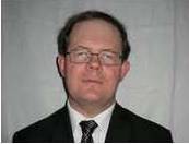 Claus Grøn Sørensen合作论文数Faculty of Agricultural Sciences, Aarhus University15
 Rasmus Nyholm Jørgensen合作论文数13
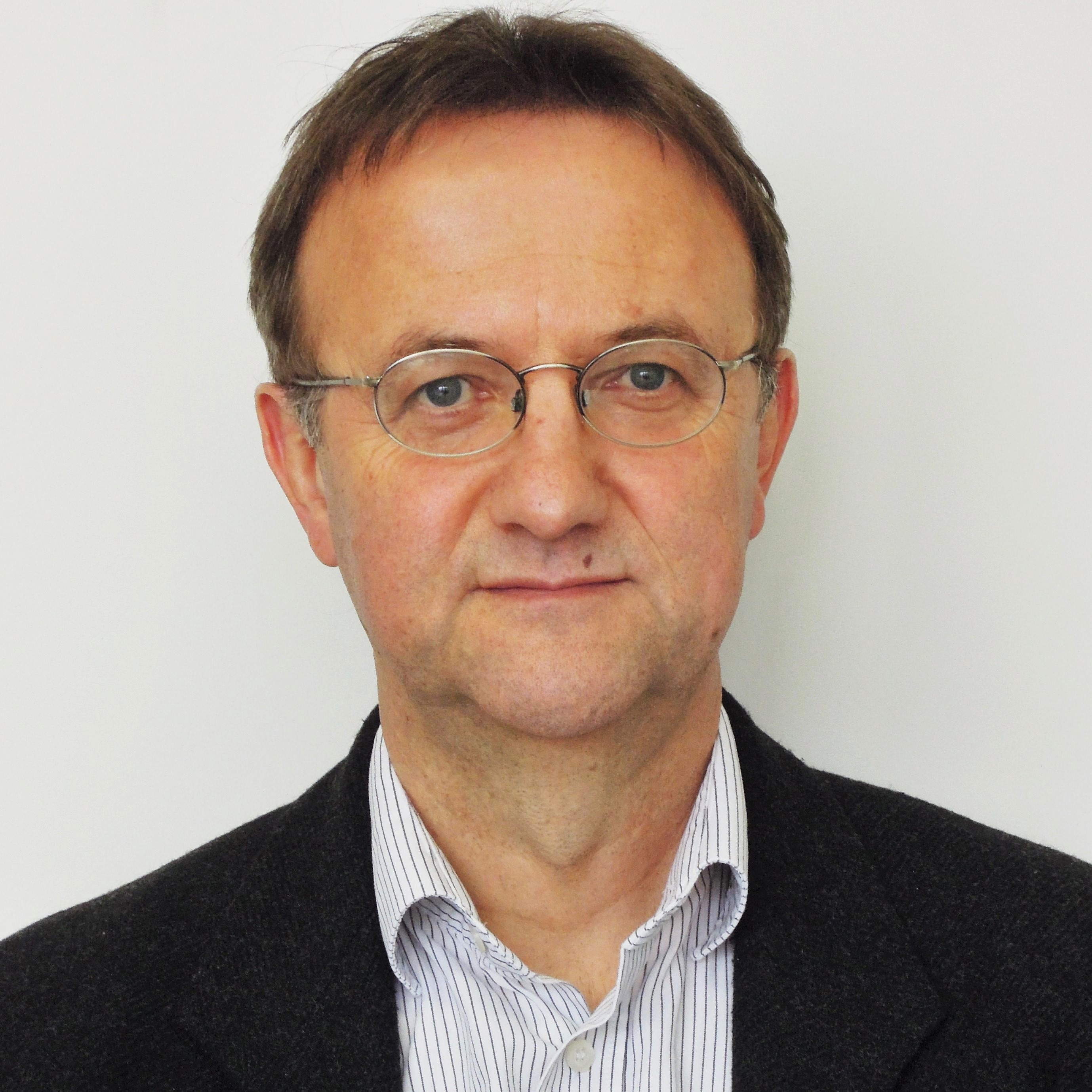 Hans W. Griepentrog合作论文数University of Hohenheim13
 B. Melander合作论文数Dept Agroecol, Aarhus Univ10
 Ole Green合作论文数Faculty of Agricultural Sciences, University of Aarhus8
 Chinmaya Kumar Swain合作论文数Corresponding author.5
 Henning T Sogaard合作论文数5
 Søren Kirkegaard Nielsen合作论文数4
 Jesper Rasmussen合作论文数Department of Plant and Environmental Sciences, Exercise and Sports, Faculty of Science, University of Copenhagen4
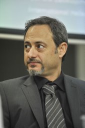 Dionysis Bochtis合作论文数Faculty of Agriculture, Aristotle University of Thessaloniki4e f kristensen合作论文数4
 Simon Blackmore合作论文数Harper Adams University4Jørgen Maagaard合作论文数3Margita Hefner合作论文数3
 Hanne Kristensen合作论文数3
 Nils Axel Andersen合作论文数Automation, Technical University of Denmark3
 Rodrigo Labouriau合作论文数Institute of Genetics and Biotechnology, Aarhus University3
 Lars Juhl Munkholm合作论文数Department of Agroecology, Aarhus Universitet3t cottis合作论文数2p soni合作论文数2j netland合作论文数2erik flojgaard合作论文数2j ascard合作论文数2J. Nielsen合作论文数2Edwards Gareth合作论文数2
 Mathieu Lamandé合作论文数Faculty of Agricultural Sciences, Aarhus University2
 Allan Leck Jensen合作论文数Danish Institute of Agricultural Sciences;Department of Agricultural Systems;Department of Agricultural Systems, Danish Institute of Agricultural Sciences2
 Henrik Midtiby合作论文数2Brandsaeter Lars Olav合作论文数2
 Esmaeil S. Nadimi合作论文数University of Southern Denmark2
 Vilas M Salokhe合作论文数Asian Institute of Technology2d c cloutier合作论文数2c g sorensen合作论文数1L Kristensen合作论文数1K. Kristensen合作论文数1j e jensen合作论文数1keld k bertelsen合作论文数1joergen maagaard合作论文数1Jens Bligaard合作论文数1Nick Skou-Nielsen合作论文数1
 Peter Christiansen合作论文数1René S. Nilsson合作论文数1
 Eva Rosenqvist合作论文数Department of Plant and Environmental Sciences, Exercise and Sports, Faculty of Science, University of Copenhagen1
 Søren Tvorup Christensen合作论文数Department of Biology, Faculty of Science, University of Copenhagen1Marja Hakala-Yatkin合作论文数1
 Sebastian Bro Damsgaard合作论文数1
 Lars Dalgaard合作论文数1
 Noha Mahmoud合作论文数1




