Data fusion plays a central role in more and more automotive applications, especially for driver assistance systems. On the one hand the process of data fusion combines data and information to estimate or predict states of observed objects. On the other hand data fusion introduces abstraction layers for data description and allows building more flexible and modular systems.The data fusion process can be divided into a low-level processing (tracking and object discrimination) and a high level processing (situation assessment). High level processing becomes more and more the focus of current research as different assistance applications will be combined into one comprehensive assistance system. Different levels/strategies for data fusion can be distinguished: Fusion on raw data level, fusion on feature level and fusion on decision level. All fusion strategies can be found in current driver assistance implementations.The paper gives an overview of the different fusion strategies and shows their application in current driver assistance systems. For low level processing a raw data fusion approach in a stereo video system is described, as an example for feature level fusion the fusion of radar and camera data for tracking is explained. As an example for a high level fusion algorithm an approach for a situation assessment based on multiple sensors is given. The paper describes practical realizations of these examples and points out their potential to further increase traffic safety with reasonably low cost for the overall system.
Knowledge about the road shape is a key element for driver assistance systems which support the driver in complex scenarios like construction sites. Systems only using information derived from lane markings reach a limit here. The paper presents an approach to estimate road boundaries based on static objects bounding the road. A map based environment description and an interpretation algorithm identifying the road boundaries in the map are used. Two approaches are presented for estimating the map, one based on a radar sensor, one on a mono video camera. Besides that two fusion approaches are described. The estimated boundaries are independent of road markings and as such can be used as orthogonal information with respect to detected markings. Results of practical tests using the estimated road boundaries for a lane keeping system are presented.
The contribution describes an assistance system, which supports the driver with lateral functions in construction-sites. This system is based on short-range radar sensors for side observation. The observation ahead of the vehicle is based on 77Ghz long range radar and a mono camera. From the camera images, a 3D reconstruction is computed. The result is fused with data of the imaging radar sensor ARS300 using a so-called “Occupancy Grid” approach. Based on this, road boundaries are determined. The contribution shows further how road boundaries can be determined from this grid information. Together with dynamic objects and roadway markings, a current right and left delimitation of the allowed driving corridor is determined and a desired path for the ego vehicle is computed. For the lateral support, a lane centring function is combined with a loose lateral guidance called “virtual wall”. The “virtual wall” function is described in detail and the resulting performance in a test construction-site with truck dummy vehicle is shown.
The DARPA Urban Challenge was a competition to develop autonomous vehicles capable of safely, reliably, and robustly driving in traffic. In this article we introduce Boss, the autonomous vehicle that won the challenge. Boss is a complex artificially intelligent software system embodied in a 2007 Chevy Tahoe. To navigate safely, the vehicle builds a model of the world around it in real time. This model is used to generate safe routes and motion plans both on roads and in unstructured zones. An essential part of Boss's success stems from its ability to safely handle both abnormal situations and system glitches.
This paper describes the obstacle detection and tracking algorithms developed for Boss, which is Carnegie Mellon University 's winning entry in the 2007 DARPA Urban Challenge. We describe the tracking subsystem and show how it functions in the context of the larger perception system. The tracking subsystem gives the robot the ability to understand complex scenarios of urban driving to safely operate in the proximity of other vehicles. The tracking system fuses sensor data from more than a dozen sensors with additional information about the environment to generate a coherent situational model. A novel multiple-model approach is used to track the objects based on the quality of the sensor data. Finally, the architecture of the tracking subsystem explicitly abstracts each of the levels of processing. The subsystem can easily be extended by adding new sensors and validation algorithms.
Es existieren Fahrerassistenzsysteme, die ausschließlich auf Einzelsensorlösungen aufbauen. Als Beispiel lassen sich die Anwendungen Adaptive Cruise Control, die z. B. mit einem Radar- oder einem Lasersensor arbeitet, und Lane Departure Warning nennen, welche zumeist auf Videosensorik basiert.
Dank einer zunehmenden Verbreitung von aktiven und passiven Sicherheitssystemen in Kraftfahrzeugen konnte die Zahl der Verkehrstoten in den letzten Jahren stetig gesenkt werden. Bei der Bearbeitung des Projekts PRORETA wurde mit der Entwicklung eines elektronischen Fahrerassistenzsystems zur Unfallvermeidung das Ziel verfolgt, durch Notbremsen und Notausweichen Unfälle zu vermeiden. Das System wurde an der TU Darmstadt in Kooperation mit der Continental AG entwickelt. Im Folgenden werden die Grundlagen des Systems, Fahrversuche und Ergebnisse einer ergonomischen Studie dargestellt.
We present an approach for robust detection, prediction, and avoidance of dynamic obstacles in urban environments. After detecting a dynamic obstacle, our approach exploits structure in the environment where possible to generate a set of likely hypotheses for the future behavior of the obstacle and efficiently incorporates these hypotheses into the planning process to produce safe actions. The techniques presented are very general and can be used with a wide range of sensors and planning algorithms. We present results from an implementation on an autonomous passenger vehicle that has traveled thousands of miles in populated urban environments and won first place in the DARPA Urban Challenge.
This paper proposes a collision warning system near a crosswalk by a monocular camera and a millimeter wave radar, as one of active safety technology to prevent the pedestrian accidents. First, a methodology of the pedestrian detection near crosswalk based on sensor fusion between camera and radar is proposed. Next, the paper describes a pedestrian collision warning system which provides the visual information of pedestrian existence to the driver depending on the pedestrian position/direction. Finally, the visual warning system is implemented into an on-vehicle PC and the preliminary experiment study is conducted in the pedestrian crossing on crosswalk scenario to examine the system feasibility.
Boss is an autonomous vehicle that uses on-board sensors (GPS, lasers, radars, and cameras) to track other vehicles, detect static obstacles and localize itself relative to a road model. A three-layer planning system combines mission, behavioral and motion planning to drive in urban environments. The mission planning layer considers which street to take to achieve a mission goal. The behavioral layer determines when to change lanes, precedence at intersections and performs error recovery maneuvers. The motion planning layer selects actions to avoid obstacles while making progress towards local goals.The system was developed from the ground up to address the requirements of the DARPA Urban Challenge using a spiral system development process with a heavy emphasis on regular, regressive system testing. During the National Qualification Event and the 85km Urban Challenge Final Event Boss demonstrated some of its capabilities, qualifying first and winning the challenge.
Future driver assistance systems are likely to use a multisensor approach with heterogeneous sensors for tracking dynamic objects around the vehicle. The quality and type of data available for a data fusion algorithm depends heavily on the sensors detecting an object. This article presents a general framework which allows the use sensor specific advantages while abstracting the specific details of a sensor. Different tracking models are used depending on the current set of sensors detecting the object. A sensor independent algorithm for classifying objects regarding their current and past movement state is presented. The described architecture and algorithms have been successfully implemented in Tartan racingpsilas autonomous vehicle for the urban grand challenge. Results are presented and discussed.
This paper presents the tracking system of Boss, Carnegie Mellon University’s winning entry in the DARPA Urban Challenge in 2007. We present the key challenges for implementing the tracking system, the design principles that guided its implementation, the software architecture of the tracking system and the sensor setup used by Boss. The system has been shown to work robustly in many different situations, including intersection handling, distance keeping or driving on open parking lots. The design principles and tracking architecture are formulated in a general way and may be used for the development of driver assistance systems which have to deal with the same situations.
Thanks to the increasing application of active and passive safety systems in motor vehicles, the amount of fatal road casualties has been reduced in recent years continuously. Having the project Proreta in process the goal was followed to further contribute to this trend by creating an advanced driver assistance system for collision avoidance. The system was developed at Technische Universität Darmstadt in cooperation with Continental AG. The basics of this system are explained in the first part of a two-part article in the following. Subsequently, in the second part conclusions of an ergonomic study included in the project are presented and results from driving tests are illustrated.
Dank einer zunehmenden Verbreitung von aktiven und passiven Sicherheitssystemen in Kraftfahrzeugen konnte die Zahl der Verkehrstoten in den letzten Jahren stetig gesenkt werden. Im ersten Teil des Beitrags in der ATZ 04/2007 wurden die Grund- lagen des Antikollisionssystems Proreta dargestellt. Dieses Fahrerassistenzsystem für ein Notbremsen und Notausweichen wurde an der TU Darmstadt in Zusammenarbeit mit der Continental AG entwickelt. Der zweite Teil des Beitrags stellt die Ergebnisse der ergonomischen Studie dar und zeigt anschließend die Ergebnisse aus Fahrversuchen.
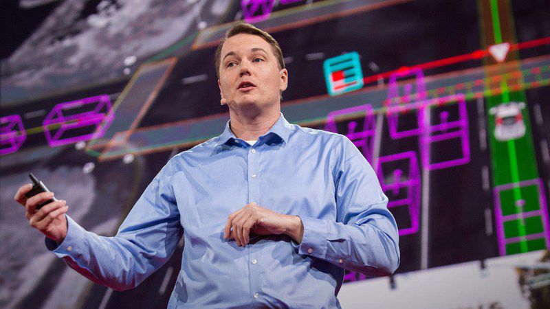 Chris Urmson合作论文数Carnegie Mellon University,google,Aurora Innovation9
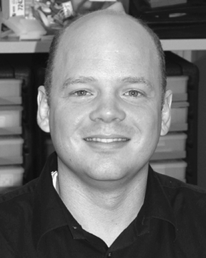 Paul E. Rybski合作论文数School of Computer Science;Carnegie Mellon University;School of Computer Science, Carnegie Mellon University4
 Dave Ferguson合作论文数Google4
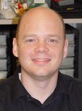 Paul Rybski合作论文数Carnegie Mellon University;Robotics Institute4
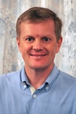 John M. Dolan合作论文数Institute for Complex Engineered Systems, Carnegie Mellon University;The Robotics Institute, School of Computer Science, Carnegie Mellon University;Vision and Autonomous Systems Center, Carnegie Mellon University3
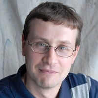 Maxim Likhachev合作论文数Search-based Planning Laboratory, Robotics Institute, School of Computer Science, Carnegie Mellon University;Waymo;TravelWits2
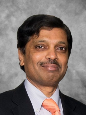 Ragunathan "Raj" Rajkumar合作论文数Department of Electrical and Computer Engineering, College of Engineering, Carnegie Mellon University;USDOT Mobility21 National University Transportation Center, Carnegie Mellon University2
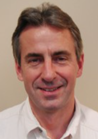 Tony Stentz合作论文数Robotics Institute, Carnegie Mellon University;Aurora2
 Joshua Struble合作论文数2
 Sanjiv Singh合作论文数The Robotics Institute, School of Computer Science, Carnegie Mellon University2Hong Bae合作论文数2
 Jason Ziglar合作论文数Stack AV;Virginia Polytechnic Institute and State University2Varsha Sadekar合作论文数2Nick Miller合作论文数Speech language sciences;University of Newcastle2
 Alonzo Kelly合作论文数The Robotics Institute, Carnegie Mellon University2Sam Harbaugh合作论文数2Michele Gittleman合作论文数2Kevin Peterson合作论文数2
 Christopher Geyer合作论文数Berkshire Grey2
 Hermann Winner合作论文数Technische Universität Darmstadt, Darmstadt, Germany2Jarrod Snider合作论文数2
 Sascha Kolski合作论文数Autonomous System Lab, Ecole Polytechnique Federale de Lausanne2
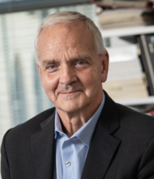 Martial Hebert合作论文数Robotics Institute, Carnegie Mellon University;School of Computer Science, Carnegie Mellon University2
 Bakhtiar Litkouhi合作论文数General Motors;Intelligent Transportation Society of Michigan2
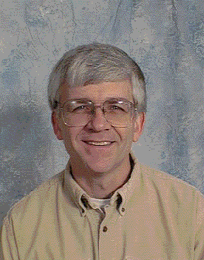 Dave Duggins合作论文数Robotics Institute,Carnegie Mellon University2
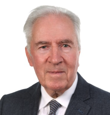 Rolf Isermann合作论文数Institute of Automatic Control and Mechatronics, Technical University of Darmstadt;Control and Cyber-Physical Systems Laboratory, Technical University of Darmstadt1Wende Zhang合作论文数1
 Youngwoo Seo合作论文数Hanwha Aerospace1Ralph Bruder合作论文数Institut für Arbeitswissenschaft, TU Darmstadt1General Motors合作论文数1Continental Ag合作论文数1
 J. Andrew (Drew) Bagnell合作论文数The Robotics Institute, Machine Learning Department, School of Computer Science, Carnegie Mellon University;Aurora1
 Shuqing Zeng合作论文数Gen Motors Res & Dev Ctr1Ziv Wolkowicki合作论文数1




