The Monterey Bay Aquarium Research Institute has developed a low-altitude survey system (LASS) to conduct cm-scale seafloor surveys of complex terrain in the deep ocean. The LASS is integrated with a remotely operated vehicle (ROV), which is operated at a 3-m standoff to obtain 5-cm-lateral-resolution bathymetry using a multibeam sonar, 1-cm-resolution bathymetry using a wide-swath lidar laser scanner, and 2-mm/pixel resolution color photography using stereo still cameras illuminated by strobes. Surveys are typically conducted with 3-m line spacing and 0.2-m/s speed and executed autonomously by the ROV. The instrument frame actively rotates to keep the sensors oriented normal to the seafloor. The strobe lights, mounted on swing arms on either side of the ROV, similarly rotate to face the seafloor. Areas of 120 m x 120 m can be covered in about 8 h. Example surveys include 1) deep-sea soft coral and sponge communities from Sur Ridge, offshore Central California; 2) a warm venting site hosting thousands of brooding octopus near Davidson Seamount, also offshore Central California; and 3) a high-temperature hydrothermal vent field on Axial Seamount, on the Juan de Fuca Ridge. An advantage of combining optical and acoustic remote sensing is that the lidar and cameras map soft animals, while the multibeam sonar maps the solid seafloor. The long-term goal is to field these sensors from a hover-capable autonomous platform rather than ROVs, enabling efficient 1-cm-scale seafloor surveys in the deep ocean.
Mesobot, an autonomous underwater vehicle, addresses specific unmet needs for observing and sampling a variety of phenomena in the ocean's midwaters. The midwater hosts a vast biomass, has a role in regulating climate, and may soon be exploited commercially, yet our scientific understanding of it is incomplete. Mesobot has the ability to survey and track slow-moving animals and to correlate the animals' movements with critical environmental measurements. Mesobot will complement existing oceanographic assets such as towed, remotely operated, and autonomous vehicles; shipboard acoustic sensors; and net tows. Its potential to perform behavioral studies unobtrusively over long periods with substantial autonomy provides a capability that is not presently available to midwater researchers. The 250-kilogram marine robot can be teleoperated through a lightweight fiber optic tether and can also operate untethered with full autonomy while minimizing environmental disturbance. We present recent results illustrating the vehicle's ability to automatically track free-swimming hydromedusae (Solmissus sp.) and larvaceans (Bathochordaeus stygius) at depths of 200 meters in Monterey Bay, USA. In addition to these tracking missions, the vehicle can execute preprogrammed missions collecting image and sensor data while also carrying substantial auxiliary payloads such as cameras, sonars, and samplers.
Mesobot, a new class of autonomous underwater vehicle, will address specific unmet needs for observing slow-moving targets in the midwater ocean. Mesobot will track targets such as zooplankton, fish, and descending particle aggregates using a control system based on stereo cameras and a combination of thrusters and a variable buoyancy system. The vehicle will also be able to collect biogeochemical and environmental DNA (eDNA) samples using a pumped filter sampler.
A suite of complementary survey tools aimed at producing 1-cm resolution bathymetric models co-registered with 2-mm pixel color photography has been assembled. The design goal is to produce quantitative documentation of both geological and biological features that will allow change over time to be assessed at vertical and lateral scales approaching one centimeter. The current suite of tools combines multibeam sonar, stereo cameras with dual xenon strobes, lidar, and an inertial navigation system (INS) aided by Doppler velocity log (DVL). This sensor package is mounted beneath remotely operated vehicles (ROV) and used to map the seafloor from low altitudes. A 100-m by 100-m survey can be accomplished in a single ROV dive. All surveys are conducted with scripted station-keeping control loops operating on the ROV, resulting in more efficient area coverage through tended automation. Fine scale surveys of a chemosynthetic biological community at 2850-m depth show that individual clams can be observed in both lidar bathymetry and photographic imagery. Repeat surveys over multiple years have been conducted in the morphologically active floor of Monterey Canyon. Comparison of these data resolve subtle transitions from depositional to erosional textures, and reveal the changes associated with frequent sediment transport events down the active canyon. The rocky, high relief environment of Sur Ridge offshore California hosts sponge and deep water coral habitats. Here the combination of acoustic and optic sensing proves particularly useful for quantitatively characterizing the benthic community. The multibeam sonar measures bathymetry without sensing soft animals, while the lidar measures a surface that includes these animals. Subtracting the multibeam bathymetry from the lidar bathymetry maps the locations and sizes of soft animals.
Scientists and engineers at the Monterey Bay Aquarium Research Institute (MBARI) have collaborated to develop SeeStar, a modular, light weight, self-contained, low-cost subsea imaging system for mid- to long-term monitoring of marine ecosystems. SeeStar is composed of separate camera, battery, and LED lighting modules, each rated to 300 meters depth. The system can be deployed in a variety of scenarios utilizing stills and video and can be operated either autonomously or tethered on a range of platforms, including ROVs, AUVs, landers, piers, and moorings. The priorities for implementation included using off-the-shelf and readily available components as much as possible, and providing all designs, schematics and fabrication documents online as open source, so that others can easily build and adapt the camera system for their own uses. The long-term goal of this project is to have a widely distributed marine imaging network across thousands of locations, to develop baselines of biological information.
We demonstrate an attentional selection system for processing video streams from remotely operated underwater vehicles (ROVs). The system identifies potentially interesting visual events spanning multiple frames based on low-level spatial properties of salient tokens, which are associated with those events and tracked over time. If video frames contain interesting frames, they are labeled “interesting”, otherwise they are labeled “boring”. By marking the interesting events and omitting boring frames in the output stream, we augment the productivity of human video annotators, or, alternatively, provide input for a subsequent object classification algorithm.
 Brett Hobson合作论文数Monterey Bay Aquarium Research Institute4
 Molly Curran合作论文数2Justin Fujii合作论文数2
 Bruce H. Robison合作论文数A Nonprofit Oceanographic Research Center, Monterey Bay Aquarium Research Institute2
 Joel K. Llopiz合作论文数Division of Marine Biology and Fisheries;School of Marine and Atmospheric Science;University of Miami;School of Marine and Atmospheric Science, University of Miami2
 Jonathan Howland合作论文数2Daniel Gomez-Ibanez合作论文数2
 Giancarlo Troni合作论文数2
 Annette F. Govindarajan合作论文数Biology Department;Woods Hole;Oceanographic Institution;Biology Department, Oceanographic Institution2
 David W. Caress合作论文数Monterey Bay Aquarium Research Institute2
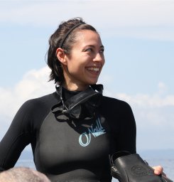 Kakani Katija合作论文数Res & Dev, Monterey Bay Aquarium Res Inst2
 Stephen Rock合作论文数Department of Aeronautics and Astronautics, Stanford University2
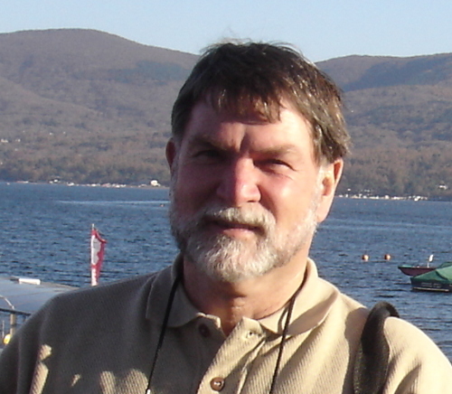 Peter H. Wiebe (Peter Wiebe)合作论文数Department of Biology, Woods Hole Oceanographic Institution2
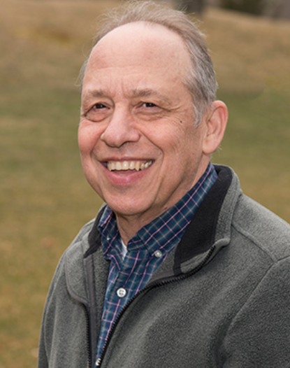 Dana Yoerger合作论文数Deep Submergence Laboratory, Department of Applied Ocean Physics & Engineering, Woods Hole Oceanographic Institution2thomas h walters合作论文数1
 K. A. Salamy合作论文数1Cailean J. Wilkinson合作论文数1Chad Kecy合作论文数1
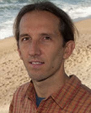 Cazenave, F.合作论文数1
 Monica Wolfson-Schwehr合作论文数Center for Coastal and Ocean Mapping/Joint Hydrographic Center, University of New Hampshire1
 James Barry合作论文数Monterey Bay Aquarium Research Institute;Moss Landing Marine Laboratories1
 Christopher R. German (Chris German)合作论文数Woods Hole Oceanographic Institution1
 Eric Martin合作论文数Chiron Corporation1
 Christof Koch合作论文数Allen Institute for Brain Science1
 John A. Breier合作论文数Woods Hole Oceanog Inst1
 Charles K. Paull合作论文数Monterey Bay Aquarium Research Institue1
 Rob E Sherlock合作论文数Monterey Bay Aquarium Research Institute1Richard Henthorn合作论文数1
 Steven H. D. Haddock合作论文数Monterey Bay Aquarium Research Institute1Andrew Hamilton合作论文数1
 Duane R. Edgington合作论文数Monterey Bay Aquarium Research Institute1
 Jennifer Brophy Paduan合作论文数Monterey Bay Aquarium Research Institute1




