Information on the distribution of free electrons in the Earth's ionosphere is needed for many applications, including the mitigation of single-frequency range delay errors and the monitoring of space weather. Most of the existing ionospheric models are generated using ground-based GNSS measurements, e.g., the Global Ionospheric Maps (GIM) provided by the International GNSS Service (IGS). However, the quality assessment of GIM is presently still an open question. In addition to altimetry Vertical Total Electron Content (VTEC) information over the oceanic regions, limited external data sources are available today to perform a fully independent validation of GNSS-based ionospheric models. The high-quality dual-frequency phase measurements of Doppler Orbitography and Radiopositioning Integrated by Satellite (DORIS) system provide valuable opportunities to examine the Earth’s ionosphere. In this work, we analyzed the feasibility of using DORIS data to estimate the accuracy of GNSS-generated ionospheric models. To this end, the concept of DORIS differential Slant Total Electron Content (dSTEC) assessment is proposed. Using Jason-3 Near-Real-Time (NRT) DORIS data of the International DORIS Service (IDS), the accuracy of different Real-Time Global Ionospheric Maps (RT-GIM) as well as the IGS combined one is evaluated. The consistency between DORIS and GNSS dSTEC assessments in the quality analysis of RT-GIMs is also checked, and the overall Pearson correlation coefficient reaches 0.81 during the one-year test period. The DORIS dSTEC assessment can be used not only to estimate the accuracy of individual GIMs, but also to determine their weighting within a combination strategy. The performance of DORIS-dSTEC and GNSS-dSTEC combined GIMs is assessed by comparison to Jason-3 VTEC from the mission altimeter. The standard deviations are 4.71 TECu and 4.80 TECu for DORIS-dSTEC and GNSS-dSTEC combined GIMs, indicating the slightly better performance of DORIS-dSTEC combined RT-GIM in Jason-3 VTEC assessment. It was shown that NRT DORIS data can be used to independently validate and combine GNSS-derived ionospheric maps. In the future, it is also envisaged that DORIS data can be directly incorporated into ionosphere modeling. To this end, the provision of NRT data from other DORIS missions is planned (e.g., Sentinel-3).
The response of the Ionosphere - Thermosphere (IT) system to severe storm conditions is of great importance to fully understand its coupling mechanisms. The challenge to represent the governing processes of the upper atmosphere depends, to a large extent, on an accurate representation of the true state of the IT system, that we obtain by assimilating relevant measurements into physics-based models. Thermospheric Mass Density (TMD) is the summation of total neutral mass within the atmosphere that is derived from accelerometer measurements of satellite missions such as CHAMP, GOCE, GRACE(-FO) and Swarm. TMD estimates can be assimilated into physics-based models to modify the state of the processes within the IT system. Previous studies have shown that this modification can potentially improve the simulations and predictions of the ionospheric electron density. These differences could also be interpreted as an indicator of the ionosphere-thermosphere interaction. The research presented here, aims to quantify the impact of data satellite based TMD assimilation on numerical model results. Subject of this study is the Coupled Thermosphere-Ionosphere-Plasmasphere electrodynamics (CTIPe) physics-based model in combination with the recently developed Thermosphere-Ionosphere Data Assimilation (TIDA) scheme. TMD estimates from the ESA’s Swarm mission are assimilated in CTIPe-TIDA during the 16 to the 20 of March 2015. This period was characterized by a strong geomagnetic storm that triggered significant changes in the IT system, the so-called St. Patrick day storm 2015. To assess the changes in the IT system during storm conditions due to data assimilation, the model results from assimilating SWARM mass density normalized to the altitude of 400 km are compared to independent thermospheric estimates like GRACE-TMDS. In order to evaluate the impact of the data assimilation on the ionosphere, the corresponding output of electron density is compared to high-quality electron density estimates derived from data-driven model of the DGFI-TUM.
Electron density is the most important key parameter to describe the state of the ionospheric plasma varying with latitude, longitude, altitude and time. The upper atmosphere is decomposed into the four layers D, E, F1 and F2 of the ionosphere as well as the plasmasphere. Space weather events manifest themselves with specific "signatures" in distinct ionospheric layers. Therefore, the role of each layer in characterizing the ionosphere during nominal and extreme space weather events is highly important for scientific and operational purposes. Accordingly, we model the total electron density as the sum of the electron densities of the individual layers. The key parameters of each layer, namely peak electron density, the corresponding peak height and scale height, are modeled by series expansions in terms of polynomial B-splines for latitude and trigonometric B-splines for longitude. The Chapman profile function is chosen to define the electron density along the altitude. This way, the electron density modeling is setup as a parameter estimation problem. In the case of modelling multiple layers simultaneously, the estimation of coefficients of the key parameters becomes challenging due to the correlations between the different key parameters. One possibility to address the above issue is by imposing constraints on the ionospheric key parameters (and by extension on the B-spline coefficients). As an example, we constrain the F2 layer peak height to be always above the F1 layer peak height. We also constrain the key parameters to be non-negative and possibly to to certain well defined bounds. This way the physical properties of the ionosphere layers are included in the modelling. We estimate the coefficients with regard to the imposition of the bounds in form of inequality constraints using a convex optimization approach. We describe the underlying mathematical procedure and validate it using the IRI model as well as GNSS observations and electron density measurements from occultation missions. For the specific case of using IRI model data as the reference “truth”, we show the performance of the optimization algorithm using a “closed loop” validation. Such a validation allows an in-depth analysis of the impact of choosing a desired number of unknown coefficients to be estimated and the total number of constraints applied. We describe the parameterization of the different ionosphere key parameters considering the specific requirements from operational aspects (such as the need for modelling F2 layer), scientific aspects with regard to ionosphere-thermosphere studies (need for modelling the D, E or F1 layers) and also considering the aspects related to computation load. We describe the advantages of using the optimization approach compared to the unconstrained least squares solution. While such constraints on key parameters can be fixed under nominal ionospheric conditions, but under adverse space weather effects these constraints need to be modified (constraints become stricter or more relaxed). For this purpose, we show the dynamic effect of modifying the constraints on global modelling performance and accuracy. We also provide the uncertainty of the estimated coefficients using a Monte-Carlo approach.
The ionosphere is the ionized upper part of the Earth's atmosphere that merges into the plasmasphere. The ionization is mainly caused by the solar radiation and by energetic particles originating from the solar wind. The Earth’s atmosphere reacts to the variable solar energy input in a very complex manner including processes in the magnetospheres, plasmasphere, ionosphere, thermosphere and their mutual coupling. The reconstruction of the ionosphere-plasmasphere is an important step towards a comprehensive understanding of this coupled system. Moreover, the mitigation of ionospheric effects on radio waves is a critical issue for applications exploiting trans-ionospheric signals such as GNSS navigation, GNSS related augmentation systems (e.g. EGNOS and WAAS) and remote sensing. Within this scope, especially the description of the topside ionosphere and plasmasphere could be improved. The project MuSE is part of the special priority program 1788 DynamicEarth (http://gepris.dfg.de/gepris/projekt/255388522?language=en) of the German Research Foundation (DFG) and aims at the better understanding of the structure and the dynamics of the ionosphere-plasmasphere system. The main goal of the project is the development of a topside ionosphere-plasmasphere model, which is capable to assimilate various measurements and exploits especially the measurements of the low Earth orbiters of the SWARM mission. A significant part thereby is the development of a plasmapause location index and its application within the reconstruction procedure as a constraint for an appropriate initial guess of the ionosphere-plasmasphere state vector. This presentation gives an overview about the MuSE project and the first achieved results. In particular, different possible 3D data assimilation procedures are discussed and initial test results are shown. Further, the plasmapause location index is outlined, which was developed on the basis of the magnetic field data of the SWARM satellites. Finally, open issues and next steps of the project are pointed out.
In our study, we will assess the performance of different ionosphere models based on the comparison with measurements. Both, physics based models and empirical models will be tested, to demonstrate and compare their different capabilities. As representatives, we are using the Coupled Thermosphere Ionosphere Plasmasphere electrodynamics (CTIPe) model, the Thermosphere Ionosphere Electrodynamics General Circulation Model (TIE-GCM) and the “TUM-Model”.
After the events at the Fukushima-I nuclear power plant (NPP) in 2011 the Reaktorsicherheitskommission (RSK) has carried out an overall assessment of the German nuclear fleet with respect to extreme (beyond design base) events. The RSK is an expert group of operators, technical support organizations (TSO) and scientists that consults the German Federal Ministry of the Environment (BMUB) in questions concerning reactor safety. This paper deals only with the research reactors (RR) FRM II (Garching) and FR MZ (Mainz). The findings of the RSK, its recommendations and their status of implementation will be presented.
Ionospheric disturbances can affect technologies in space and on Earth disrupting satellite and airline operations, communications networks, navigation systems. As the world becomes ever more dependent on these technologies, ionospheric disturbances as part of space weather pose an increasing risk to the economic vitality and national security. Therefore, having the knowledge of ionospheric state in advance during space weather events is becoming more and more important. To promote scientific cooperation we recently formed a Working Group (WG) called “Ionosphere Predictions” within the International Association of Geodesy (IAG) under Sub-Commission 4.3 “Atmosphere Remote Sensing” of the Commission 4 “Positioning and Applications”. The general objective of the WG is to promote the development of ionosphere prediction algorithm/models describing the electron density and/or the total electron content (TEC). Our presented work enables the possibility to compare total electron content (TEC) prediction approaches/results from different centers contributing to this WG such as German Aerospace Center (DLR), Universitat Politecnica de Catalunya (UPC), Technische Universitat Munchen (TUM) and GMV.
West African countries have been exposed to changes in rainfall patterns over the last decades, including a significant negative trend. This causes adverse effects on water resources of the region, for instance, reduced freshwater availability. Assessing and predicting large-scale total water storage (TWS) variations are necessary for West Africa, due to its environmental, social, and economical impacts. Hydrological models, however, may perform poorly over West Africa due to data scarcity. This study describes a new statistical, data-driven approach for predicting West African TWS changes from (past) gravity data obtained from the gravity recovery and climate experiment (GRACE), and (concurrent) rainfall data from the tropical rainfall measuring mission (TRMM) and sea surface temperature (SST) data over the Atlantic, Pacific, and Indian Oceans. The proposed method, therefore, capitalizes on the availability of remotely sensed observations for predicting monthly TWS, a quantity which is hard to observe in the field but important for measuring regional energy balance, as well as for agricultural, and water resource management. Major teleconnections within these data sets were identified using independent component analysis and linked via low-degree autoregressive models to build a predictive framework. After a learning phase of 72 months, our approach predicted TWS from rainfall and SST data alone that fitted to the observed GRACE-TWS better than that from a global hydrological model. Our results indicated a fit of 79 % and 67 % for the first-year prediction of the two dominant annual and inter-annual modes of TWS variations. This fit reduces to 62 % and 57 % for the second year of projection. The proposed approach, therefore, represents strong potential to predict the TWS over West Africa up to 2 years. It also has the potential to bridge the present GRACE data gaps of 1 month about each 162 days as well as a-hopefully-limited gap between GRACE and the GRACE follow-on mission over West Africa. The method presented could also be used to generate a near-real-time GRACE forecast over the regions that exhibit strong teleconnections.
 Denise Dettmering合作论文数German Geodetic Research Institute, Technical University of Munich24
 M Limberger合作论文数14
 Urs Hugentobler合作论文数Department of Aerospace and Geodesy, Technische Universitat Munchen;School of Engineering and Design, Technische Universitat Munchen9
 E Erdogan合作论文数8
 A Goss合作论文数Deutsch Geodat Forsch Inst, Tech Univ Munich7
 Verena Lieb合作论文数6
 Tatjana Gerzen合作论文数6
 Annette Eicker合作论文数HafenCity University Hamburg6
 Jürgen Kusche合作论文数Institute of Geodesy and Geoinformation, University of Bonn5W Liang合作论文数4
 Ehsan Forootan合作论文数Institute of Geodesy and Geoinformation, Bonn University4Volker Wilken合作论文数4
 C K Shum合作论文数Division of Geodetic Science, School of Earth Sciences, The Ohio State University4
 Anna Krypiak-Gregorczyk合作论文数4
 Pawel Wielgosz合作论文数4Kirsten Buße合作论文数3judith schall合作论文数3
 Katrin Bentel合作论文数Institute of Geodesy (5220)3Christian Gerlach合作论文数3
 Wojciech Jarmołowski合作论文数Inst Geodesy, Univ Warmia & Mazury3
 Johannes Bouman合作论文数3
 Norbert Jakowski合作论文数DLR, Institute of Communications and Navigation, Kalkhorstweg 53, 17235 Neustrelitz, Germany3
 A. Garcia-Rigo合作论文数gAGE/UPC Mod C3 Campus Nord Jordi Girona 1-3 08034 Barcelona Spain3Isabel Fernández Gómez合作论文数2
 Manuel Hernandez Pajares合作论文数2
 Beata Milanowska合作论文数2
 Anja Schlicht合作论文数2
 Mathis Bloßfeld合作论文数Technical University of Munich2
 Ang Liu合作论文数2
 Claudia Borries合作论文数2Marco Limberger合作论文数2
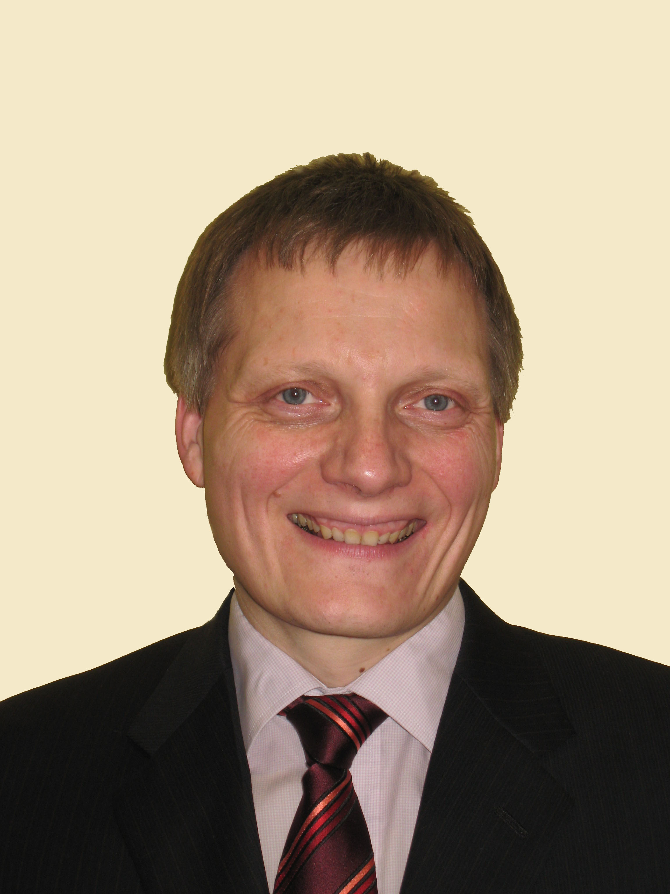 Wolfgang Bösch合作论文数Institute of Microwave and Photonic Engineering, Faculty of Electrical and Information Engineering, Graz University of Technology2
 Ningbo Wang合作论文数Key Laboratory of Dynamical Geodesy, Laboratory of Dynamic Geodesy Chinese Academy of Sciences2
 Zishen Li (李子申)合作论文数Aerospace Information Research Institute, Chinese Academy of Sciences;University of Chinese Academy of Sciences2
 Anna Belehaki合作论文数National Observatory of Athens2
 Enric Monte-Moreno合作论文数Department of Signal Theory and Communications, Universitat Politècnica de Catalunya2
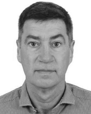 Roger Haagmans合作论文数2Brunini Claudio合作论文数Facultad de Ciencias Astronómicas y Geofísicas, Universidad Nacional de La Plata2
 Laramie Potts合作论文数2
 Harald Schuh合作论文数Deutsches GeoForschungsZentrum (GFZ)(GeoForschungsZentrum Potsdam),Potsdam,Germany2Bernd Diekkruger合作论文数2Ioanna Tsagouri合作论文数Institute for Space Applications and Remote Sensing National Observatory of Athens2Wolf-Dieter Schuh合作论文数Institut für Geodäsie und Geoinformation, Universität Bonn2F Panzetta合作论文数1K Börger合作论文数1
 C.K. Shum合作论文数The Ohio State University1Ina Loth合作论文数1Ina Krasbutter合作论文数1




