Collaboratories have been defined as centers without walls, virtual places where teams of scientists can undertake coordinated research. As part of the Human–Environment Regional Observatory (HERO) infrastructure project, we have been developing a geocollaboratory to support work by geographically distributed scientists about geographic problems. Our specific focus is on science teams developing and applying protocols for long-term study of the local and regional scale human impacts of global environmental change. The HERO geocollaboratory includes web and other Internet-based tools to enable same-time and different-time (thus synchronous and asynchronous) different-place collaboration. Methods and tools have been developed to support (1) synchronous distributed meetings that include video links and shared visual display of geospatial information; (2) asynchronous perspective comparison and consensus building activities; and (3) long-term information sharing and knowledge development. This paper introduces the research effort, sketches the conceptual framework within which the geocollaboratory is being developed, outlines progress thus far in the three collaboratory components listed above, and discusses our experiences using these tools for distributed science as well as our plans for continued development. We direct specific attention to three web-based, collaborative tools we have developed in support of components 2 and 3 above: an e-Delphi tool (supporting sharing and comparing of expert opinions), a concept-mapping tool that supports building, sharing, and comparing concept relationship diagrams linked to formal ontologies, and a web portal (called Codex) that provides a personal workspace, mechanisms for forming groups and accessing group resources, and methods for encoding knowledge objects that include geographic referencing.
Geochemical studies on the Hohonu Batholith, of the West Coast, South Island, New Zealand, have recognised two distinct but chemically related suites of mid-Cretaceous granitoids. The suites are characterised by restricted radiogenic isotopic compositions (Sr(i) = 0.7062 to 0.7085; ɛNd(i) = −4.4 to −6.1), and represent melting of a mafic lithosphere source followed by interaction with Ordovician metasediments. The two suites (Te Kinga Suite and Deutgam Suite) are distinguished by contrasting contents of Al2O3, Na2O, Sr, Ba, Eu and HREE, attributable to different residual asssemblages controlled by differing H2O contents during melting of a metabasaltic source. The relatively mafic, metaluminous, I-type Deutgam Suite represents magmas derived by dehydration melting in equilibrium with an amphibolitic (plagioclase + amphibole) residue. In contrast, the peraluminous, high silica compositions of the Te Kinga Suite were produced by melting at higher H2O contents, reducing the stability of plagioclase and resulting in a melt in equilibrium with a plagioclase-free eclogitic (garnet + amphibole) residue. Residual plagioclase during generation of the Deutgam Suite resulted in lower Al2O3, Na2O, Sr, Ba and Eu contents, whereas residual garnet during generation of the Te Kinga suite resulted in depleted HREE contents. The mid-Cretaceous granitoids of the Hohonu Batholith were generated during a period of rapid tectonic transition from crustal thickening during collision to crustal thinning and core complex formation during extension.
Bransfield Strait is a narrow basin separating the South Shetland Islands from the Antarctic Peninsula and is attributed to recent back-arc extension behind the South Shetland volcanic arc. The volcanic islands of Deception and Bridgeman are situated close to the axis of spreading, whereas Penguin Island lies slightly to the north of this axis. The mineralogy, petrology and geochemistry of the lavas of the three volcanoes have been studied in order to provide information on the nature of magmatism associated with the initial stages of back-arc spreading.
 John Tarney合作论文数University of Leicester2
 Andy Saunders合作论文数Department of Geology, School of Geography, Geology & The Environment, University of Leicester2
 Tod Waight合作论文数Department of Geosciences and Natural Resource Management, Faculty of Science, University of Copenhagen1
 Mark Nicholas Gahegan合作论文数School of Computer Science, Faculty of Science, The University of Auckland1Robert Pankhurst合作论文数British Geological Survey1
 Chaoqing Yu (喻朝庆)合作论文数School of Ecology and Environment, Hainan University1
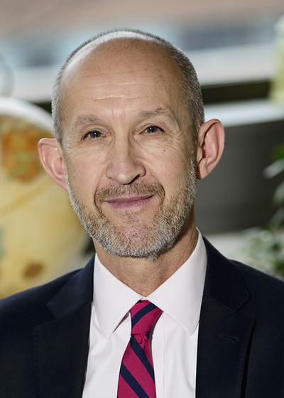 Brent Yarnal合作论文数Department of Geography, College of Earth and Mineral Sciences, Pennsylvania State University1
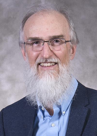 Alan MacEachren合作论文数Department of Geography, College of Earth and Mineral Sciences, Pennsylvania State University1Isaac Brewer合作论文数1
 Nelson Eby合作论文数Department of Environmental Earth and Atmospheric Sciences, College of Sciences, University of Massachusetts Lowell1RJ Muir合作论文数1William Pike合作论文数Pacific Northwest National Laboratory1




