The increasing, high-risk interactions between vehicles and vulnerable micromobility users, such as e-scooter riders, challenge vehicular safety functions and Automated Driving (AD) techniques, often resulting in severe consequences due to the dynamic uncertainty of e-scooter motion. Despite advances in data-driven AD methods, traffic data addressing the e-scooter interaction problem, particularly for safety-critical moments, remains underdeveloped. This paper proposes a pipeline that utilizes collected on-road traffic data and creates configurable synthetic interactions for validating vehicle motion planning algorithms. A Social Force Model (SFM) is applied to offer more dynamic and potentially risky movements for the e-scooter, thereby testing the functionality and reliability of the vehicle collision avoidance systems. A case study based on a real-world interaction scenario was conducted to verify the practicality and effectiveness of the established simulator. Simulation experiments successfully demonstrate the capability of extending the target scenario to more critical interactions that may result in a potential collision.
We present OmniV2X, a generative foundation model for vehicle-to-everything (V2X) cooperative driving. The model directly interprets independent context sequences comprising multi-modal and multi-agent observations. The new design mitigates the computational cost of dense 3D perception, the vulnerability to data scarcity in cooperative scenarios, and the poor compliance with standardized messaging in existing methods that fuse multi-modal inputs into a shared representation. For training, we present an end-to-end supervised pipeline using a downstream trajectory generation loss, in which a high-capacity generative sequence planner implicitly learns to steer the model and leverage multi-modal inputs via cross-attention injection. As a foundation model, we demonstrate that OmniV2X pre-trained on large-scale single-agent planning datasets can efficiently adapt to cooperative environments by integrating the conditioning context with lightweight, standard-compliant V2X tokens. Evaluated on the DAIR-V2X-Seq dataset, OmniV2X outperforms existing end-to-end cooperative driving baselines, achieving state-of-the-art performance with less than 10
With the broader adoption and highly successful development of large language models (LLMs), there has been growing interest and demand for applying LLMs to autonomous driving technology. Driven by their natural language (NL) understanding and reasoning capabilities, LLMs have the potential to enhance various aspects of autonomous driving systems, from perception and scene understanding to interactive decision-making. This article first introduces the novel concept of designing LLMs for autonomous driving (LLM4AD), followed by a review of existing LLM4AD studies. Then, a comprehensive benchmark is proposed for evaluating the instruction-following and reasoning abilities of LLM4AD systems, which includes LaMPilot-Bench, CARLA Leaderboard 1.0 Benchmark in simulation and NuPlanQA for multiview visual question answering (VQA). Furthermore, extensive real-world experiments are conducted on autonomous vehicle platforms, examining both on-cloud and on-edge LLM deployment for personalized decision-making and motion control. Next, the future trends of integrating language diffusion models into autonomous driving are explored, exemplified by the proposed vision-language diffusion (ViLaD) framework. Finally, the main challenges of LLM4AD are discussed, including latency, deployment, security and privacy, safety, trust and transparency, and personalization.
This study provides INDOT with critical insights into major OEMs’ connected and autonomous vehicle (CAV) development plans and related research and demonstration activities in several surrounding states, guiding infrastructure investment and policy decisions. The report delivers three outputs that guide the CAV technologies implementation in Indiana. First, it synthesizes the best regional practices and industry direction to distinguish what is feasible now from what requires further development. Second, it establishes a technical baseline that links priority applications to sensing and communications architectures with explicit attention to interoperability, security, and maintainability. Third, it defines an implementation framework that connects capital and operating investments to organizational capabilities, funding sources, and measurable outcomes for safety and mobility. Together, these outputs provide a basis for deciding where to pilot, where to scale, and how to manage assets and data over time. By understanding technological roadmaps, INDOT can strategically position Indiana, ensuring it aligns with industry advancements, enhancing road safety and traffic efficiency, and facilitating seamless integration of CAVs on its transportation network in the near future.
Large-scale autonomous fleets rely on teleoperation to resolve rare failures, yet streaming raw sensor data from many vehicles is costly, and remote operators can only monitor a limited number of vehicles at a time. We introduce FleetAgent, a cloud-hosted multimodal large language model (MLLM) assistant that consumes compact vectorized vehicle-to-network (V2N) messages, such as map elements, detected objects, and the ego planned path. It provides a structured natural-language response (including narration, explanation, and evaluation of the plan and scene), along with an intervention urgency score for operator prioritization. To make structured messages compatible with token-based MLLMs, we propose VecFormer, a vector-to-embedding interface with differentiable top-K context selection that bounds context length and GPU KV-cache growth, enabling more efficient batch processing, which is important under the context of cloud-hosted large-scale fleet management. We also construct VecEval, a nuScenes-derived dataset with paired human and synthetic imperfect plans and human-verified language labels, to facilitate the training and evaluation of our proposed system. Our proposed system can reduce uplink payload by up to 625 times compared with raw images and reduce KV-cache memory by 16.54 times compared with original text descriptions. On VecEval, FleetAgent improves Lingo-Judge score by 16.8
Vehicle-to-Everything (V2X) communication promises safer and more efficient transportation through advanced information and communication technologies. Cellular V2X (C-V2X) is a promising approach, but C-V2X sidelink's short range and the higher latency of cellular communication pose challenges. To address these limitations, this paper introduces RampCast II, an integrated framework that leverages both direct (PC5 interface) and cellular (Uu interface) communication. RampCast II is designed for efficient traffic management by intelligently utilizing the strengths of each interface: PC5 for low-latency communication within short ranges and Uu for robust connectivity over wider areas. Field experiments on Indiana highways and streets demonstrate that PC5 offers superior short-range performance, while Uu provides consistent long-range coverage. Importantly, message transmission latency for both interfaces remains below 50 ms within their operating ranges, enabling reliable delivery of Society of Automotive Engineers (SAE) compliant traffic messages across diverse routes and conditions. This integrated system offers a practical and scalable solution for real-world V2X deployments. The code for RampCast II will be made publicly available upon acceptance of this paper.
This paper proposes a scalable and interpretable framework for lane-wise highway traffic anomaly detection, leveraging multi-modal time series data extracted from surveillance cameras. Unlike traditional sensor-dependent methods, our approach uses AI-powered vision models to extract lanespecific features-including vehicle count, occupancy, and truck percentage-without relying on costly hardware or complex road modeling. We introduce a novel dataset containing 73,139 lanewise samples, annotated with four classes of expert-validated anomalies: three traffic-related anomalies (lane blockage and recovery, foreign object intrusion, and sustained congestion) and one sensor-related anomaly (camera angle shift). Our multibranch detection system integrates deep learning, rule-based logic, and machine learning to improve robustness and precision. Extensive experiments demonstrate that our framework outperforms state-of-the-art methods in precision (0.8077 vs. 0.45), recall (0.9767 vs. 0.6047), and F1-score (0.8841 vs. 0.4061), providing a cost-effective and scalable solution for real-world intelligent transportation systems. Our dataset and code can be found here: https://github.itap.purdue.edu/TASI/Lane-wise traffic AD.
Personalized driving refers to an autonomous vehicle’s ability to adapt its driving behavior or control strategies to match individual users’ preferences and driving styles while maintaining safety and comfort standards. However, existing works either fail to capture every individual’s preference precisely or become computationally inefficient as the user base expands. Vision-Language Models (VLMs) offer promising solutions to this front through their natural language understanding and scene reasoning capabilities. In this work, we propose a lightweight yet effective on-board VLM framework that provides low-latency personalized driving performance while maintaining strong reasoning capabilities. Our solution incorporates a Retrieval-Augmented Generation (RAG)-based memory module that enables continuous learning of individual driving preferences through human feedback. Through comprehensive real-world vehicle experiments, our system has demonstrated the ability to provide safe, comfortable, and personalized driving experiences across various scenarios and significantly reduce takeover rates by up to 76.9%. To the best of our knowledge, this work represents the first personalized VLM motion control system in real-world autonomous vehicles. The demo video can be watched at https://tinyurl.com/4xsnz79n.
Ensuring the safety of vulnerable road users (VRUs), including pedestrians, cyclists, electric scooter riders, and motorcyclists, remains a major challenge for advanced driver assistance systems (ADAS) and connected and automated vehicles (CAV) technologies. Real-world VRU tests are expensive and sometimes cannot capture or repeat rare and hazardous events. In this paper, we present a lightweight, configurable simulation framework that follows European New Car Assessment Program (Euro NCAP) VRU testing protocols. A rule-based finite-state machine (FSM) is developed as a motion planner to provide vehicle automation during the VRU interaction. We also integrate ego-vehicle perception and idealized Vehicle-to-Everything (V2X) awareness to demonstrate safety margins in different scenarios. This work provides an extensible platform for rapid and repeatable VRU safety validation, paving the way for broader case-study deployment in diverse, user-defined settings, which will be essential for building a more VRU-friendly and sustainable intelligent transportation system.
Electric scooters (e-scooters) have rapidly gained popularity in urban transportation, bringing new safety challenges—particularly in interactions with vehicles. While pedestrian trajectory prediction has been extensively studied, research on e-scooter riders remains limited due to scarce data. This paper presents a multi-trajectory prediction framework for e-scooter riders using multi-modal inputs from cameras, LiDAR, GPS, and high-definition maps. Built on a transformer-based architecture, the model integrates a masked autoencoder-based self-supervised learning framework and incorporates visual and spatial contextual features through BEV modules. The proposed method significantly outperforms baseline and prior single-trajectory models across short-, mid-, and long-term prediction horizons. To support this work, a large-scale naturalistic driving dataset comprising over 6,200 e-scooter cases was collected and annotated. Results demonstrate improved prediction accuracy and the potential to reduce collision risks, advancing more effective autonomous vehicle interaction with e-scooter riders.
The explosive growth in the volume, variety, and velocity of transportation data has placed considerable strain on traditional data infrastructures employed by state departments of transportation (state DOTs). Existing traffic information systems are constrained by fragmented data streams, limited historical archiving, and inadequate interoperability, thereby hindering their utility for comprehensive analysis, causal inference, and predictive modeling. This study addresses these challenges by presenting the design and initial implementation of a traffic data integration platform that unifies multi-source datasets and establishes a foundation for more applications. The platform focuses on data integration and access, incorporating systematic data ingestion pipelines, schema harmonization, quality management, and visualization capabilities. Three consecutive steps are performed: 1) identification of data sources, 2) platform data design and implementation, and 3) user interface design. Data source identification classifies source categories and formalizes collection and quality control procedures. Platform data design and implementation demonstrates database structures, ingestion pipelines, and interface protocols. Finally, user interface design supports dynamic user queries and customizable data display formats. It delivers a scalable and interoperable architecture, laying the groundwork for data-driven transportation systems and intelligent planning.
Happy holidays to our readers and authors! We are excited to publish the last issue of IEEE Electrification Magazine for 2025. This issue continues to highlight recent advances and innovations in electrified transportation from intelligent, interconnected transportation and power grids to emerging dynamic wireless power transfer and fuel cell hybrid vehicle technology. I truly hope you enjoy reading all the articles in this issue.
The SRP-4930, Further Refinement and Integrated Platform for INDOT Traffic Management and Safety Toolset, aims to further refine the previously developed Anomaly Detection and Weaving Analysis programs and create a unified, Web-based user interface for users to access TASI-developed software tools conveniently. 1. The INDOT Application Suite has been successfully developed for centralizing the digital platform developed by Purdue University’s Transportation and Autonomous Systems Institute (TASI). It offers a secure, single point of access to a range of specialized applications, consolidating multiple tools into a unified system. 2. A scalable, lane-wise highway traffic anomaly detection framework that operates exclusively on video-based data was designed. By leveraging AI-driven vision techniques, the anomaly detection system extracts interpretable lane-specific traffic features, including vehicle count, occupancy, and truck percentage. We introduced a novel dataset derived from real-world highway surveillance, capturing fine-grained traffic dynamics across multiple time periods and anomaly types. 3. The Highway Weaving Analysis Program has been successfully developed. Due to the technical challenges of vehicle re-identification from CCTV footage, the automated matching process can produce false positives. To address this, the system incorporates a human-in-the-loop verification step in the Web-Based Vehicle Matching Verification and Result Generation GUI. Based on this verified data, the system calculates the final lane-to-lane weaving percentages. The results are presented in a comprehensive, user-friendly report that includes Sankey diagrams visualizing the traffic flow for all vehicles, as well as for cars and trucks separately. The entire system operates on a cloud maintained by Purdue University.
The proliferation of shared micro-mobility services, including electric scooters (e-scooters), plays an important role in modern urban travel. Despite the growing popularity of e-scooters, their interactions with motor vehicles or pedestrians can lead to potential traffic accidents. In particular, the vehicle and e-scooter interaction (VEI) at intersections is of utmost importance to study, where the actions and intentions of e-scooter riders can vary greatly depending on the dynamic traffic situations. Moreover, due to the unique moving characteristics of e-scooters, drivers must maintain adequate awareness of the environment to mitigate unforeseen collision risks. In this paper, we aim to provide a novel risk analysis methodology to identify potential risky factors in the VEI process. Qualitative and quantitative analyses of various traffic situations are introduced to validate the functionality of the proposed system. The backtracking process algorithm (BPA) is also applied to demonstrate the effectiveness of the proposed framework.
US Department of Transportation (DOT) operators commonly use adjustable surveillance cameras for traffic monitoring and desire to have an automated traffic counting system by lane. To fill this need, this paper describes an automatic, novel, multiple-ROI (Regions of Interest) lane learning (MRLL) system. It detects lane centers, boundaries, and traffic directions, irrespective of zoom or direction. It finds optimal ROIs without user input by analyzing confidence scores from a chosen Machine Learning (ML) object detector. A simple but effective Continual Learning strategy is used to control the MRLL’s start and stop that optimizes lane counting performance in various real-world conditions: nighttime, extremely harsh weather, or low traffic flow conditions. Tested on 45 varied videos, it achieves an F1_score above 0.79 for lane center detection, 0.88 for lane boundaries, and 94% accuracy in traffic direction detection. This innovative system, which does not rely on lane markings and adapts to camera views, is currently used by the Indiana Department of Transportation for vehicle counting and flow rate estimation in real-world ITS scenarios. Code is available at https://github.com/qiumei1101/Multiple_ROI_lane_learning_ system_for_Highway.git.
Vehicle weaving describes the vehicle lane changes in areas between consecutive merge and diverge ramp junctions. During heavy traffic, vehicle weaving will slow down traffic, cause congestion, and increase the possibility of crashes. It is desirable to automatically capture the weaving information using camera videos in the weaving areas. The currently existing weaving area analysis is very tedious and labor-intensive. This report describes a novel system that uses the videos simultaneously captured at the entry and exit of the weaving area to find the number and percentage of vehicles from each lane on the entry to each lane on the exit. The system provides a convenient user interface, uses AI techniques to detect vehicles from camera videos, uses vehicle motion to identify the lanes, tracks and matches the vehicles at the entry and exit in the lane level, and presents the weaving analysis result in a user-friendly Sankey diagram. Compared to the other existing weaving analysis methods, this system can reduce the human work hours by at least 90%.
 Lingxi Li合作论文数Elmore Family School of Electrical and Computer Engineering, College of Engineering, Purdue University73
 Stanley Yung-Ping Chien合作论文数Department of Electrical and Computer Engineering, Purdue School of Engineering and Technology, Indiana University58
 Rini Sherony合作论文数Toyota Technical Center, Ann Arbor, MI43
 Renran Tian (田任然)合作论文数School of Industrial Engineering, Purdue University32
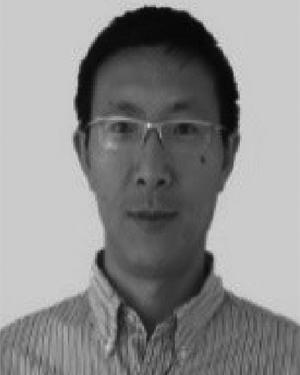 Qiang Yi合作论文数17
 Hiroyuki Takahashi合作论文数13Lyashevskiy, S.合作论文数12Mei Qiu合作论文数12
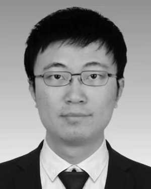 Dan Shen合作论文数Sch Engn & Technol, Indiana Univ Purdue Univ Indianapolis IUPUI12
 Lauren A. Christopher合作论文数12Kai Yang合作论文数11
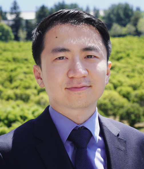 Ziran Wang (王子然)合作论文数Institute for Control, Optimization and Networks, Purdue University;College of Engineering, Purdue University;Lyles School of Civil Engineering, Purdue University;Purdue Digital Twin Lab, Purdue University8
 Harpreetsingh Banvait合作论文数8
 Alan A Desrochers合作论文数Department of Electrical, Computer, and Systems Engineering, Rensselaer Polytechnic Institute8
 Quanshi Chen (陈全世)合作论文数School of Vehicle and Mobility, Tsinghua University;State Key Laboratory of Automotive Safety and Energy, Tsinghua University7David H. Good合作论文数7
 Eliza Yingzi Du合作论文数Department of Electrical and Computer Engineering, School of Engineering and Technology, Indiana University-Purdue University7Yi-Zhi Qu合作论文数7
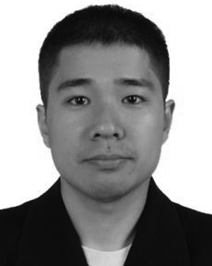 Keyu Ruan合作论文数Transportat & Autonomous Syst Inst TASI, Indiana Univ Purdue Univ6
 Yaping Dai (戴亚平)合作论文数School of Automation, Beijing Institute of Technology6Pingge Jiang合作论文数6Glenn R. Widmann合作论文数5
 Can Cui合作论文数5
 Avinash Prabu合作论文数5
 Feng Jiang (姜峰)合作论文数School of Medicine and Health, Harbin Institute of Technology;Faculty of Computing, Harbin Institute of Technology;Nanjing University of Information Science & Technology5
 Yuan Zhu (朱元)合作论文数Chinesisch Deutsches, Tongji University5
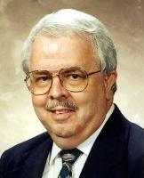 Russell C. Eberhart合作论文数Department of Electrical and Computer Engineering, Purdue School of Engineering and Technology, Indiana University Purdue University Indianapolis5
 Yunsheng Ma (马云生)合作论文数Waymo4
 Juanwu Lu合作论文数College of Engineering, Purdue University4Jim Sturdevant合作论文数4
 Abir Saha合作论文数Northwestern University4
 Zhengming Zhang合作论文数School of Industrial Engineering, Purdue University West Lafayette4Jun Lin合作论文数4
 Xiaohui Hu (胡晓辉)合作论文数4
 Sohel Anwar合作论文数Purdue School of Engineering & Technology, Indiana University-Purdue University Indianapolis4Guangyu Tian (田光宇)合作论文数4
 Chi-Chih Chen合作论文数ElectroScience Laboratory, College of Engineering, The Ohio State University;Electrical and Computer Engineering Department, College of Engineering, The Ohio State University4
 Huixing Zhou (周惠兴)合作论文数School of Mechanical-Electronic and Vehicle Engineering, Beijing University of Civil Engineering and Architecture4Ed Cox合作论文数3Jason Brink合作论文数3
 Seeta Ram Pandey合作论文数Indiana University, Purdue University Indianapolis3l dong合作论文数3Qiwen Deng合作论文数3Jue ZHOU (周珏)合作论文数3Brian King合作论文数Indiana Univ. Purdue Univ at Indianapolis3
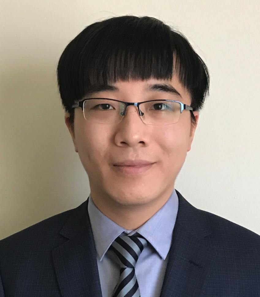 Shu Hu (胡暑)合作论文数Department of Computer and Information Technology, Purdue University;Purdue Machine Learning and Media Forensics (M2) Lab, Purdue University3
 Jian Huang (黄健)合作论文数School of Automation and Electeical Engineering, University of Science and Technology Beijing3
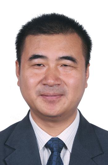 Fuchun Sun (孙富春)合作论文数Department of Computer Science and Technology, Tsinghua University3Vincent G. Duffy合作论文数Department of Industrial Engineering3




