To refine the assumption that the contrast threshold of the human eye (Crt) remains constant in general visibility theory, we integrated an artificial intelligence-based approach with a mechanistic model (AI-SD) to derive the equivalent contrast threshold at 488 nm (C488) from remote sensing reflectance on a pixel-by-pixel basis. The derived C488 was then applied to estimate Secchi depth (Zsd). We trained and validated the AI-SD model using an extensive field-measured dataset (N = 1 577) encompassing oceanic, coastal, and inland waters and compared its performance with a traditional mechanistic model. Our findings indicate that C488 theoretically ranges from 1.85 × 10⁻⁵ sr−1 to 0.138 sr−1 and improves the accuracy of Zsd estimates from field-measured or satellite-derived remote sensing reflectance (Rrs) by over 10
Observing the ocean's biological carbon pump at its critical meso- and submesoscales remains a significant challenge, leading to major uncertainties in global carbon cycle estimates. This challenge stems from a fundamental data disparity: while satellite ocean color sensors provide unparalleled global coverage of the sea surface, they cannot penetrate the ocean's interior. Conversely, in situ profilers like BGC-Argo measure the vertical dimension but are too sparse to resolve fine-scale horizontal variability. Existing 3-D chlorophyll- a (Chl- a ) products, whether based on statistical models or numerical reanalysis, are often too coarse to resolve these key dynamics. To address this longstanding scale-mismatch problem, we introduce a multimodal ensemble for global-ocean chlorophyll-a (MEGO-C), a novel machine learning architecture specifically engineered for Earth science data fusion. It employs an interpretable, heterogeneous stacked ensemble to synergistically fuse 144 936 Biogeochemical-Argo (BGC-Argo) profiles with a suite of multisensor satellite observations. This framework produces the first-ever global, daily, submesoscale-resolving (similar to 4 km) 3-D Chl- a atlas. Validation demonstrates its breakthrough performance, with prediction errors less than half of those from benchmark Copernicus Marine Environment Monitoring Service (CMEMS) products and an order-of-magnitude finer spatial resolution (similar to 4 versus similar to 25 km). Crucially, our eddy case studies based on this high-resolution dataset show that coarse-resolution products can substantially underestimate area-integrated Chl- a (Sigma Chl center dot dA; biomass proxy) within Chl- a -based eddy-like coherent features by similar to 25% and miss peak concentrations by over 50%. This finding suggests the biogeochemical impact of eddies is substantially undervalued in global assessments, a result with important implications for revising carbon cycle estimates. Shapley additive explanations (SHAP) analysis confirms the model's physical consistency, moving beyond a "black-box" approach, while scale-selective filtering verifies its ability to resolve submesoscale filaments and sharpen eddy variability. This work provides a crucial new observational benchmark for validating the biogeochemical components of Earth system models and presents a globally applicable, effective, and transparent approach for synergistic data fusion in remote sensing and oceanography.
Suspended Particulate Matter (SPM) plays a central role in coastal marine ecosystems, influencing light availability, primary production, and transport of sediments, nutrients, and pollutants. Monitoring its variability is essential for understanding the impacts of both natural and anthropogenic pressures on coastal regions. In this study, nine years (2016-2025) of data from the Ocean and Land Colour Instrument (OLCI) aboard Sentinel-3 were used to analyze SPM variability and trends across European and Mediterranean coastal waters at 300 m resolution. Monthly SPM composites were generated using a semi-analytical model, and processed using time series decomposition (Census X-11) and non-parametric trend analysis. A continental-scale climatology was generated, and high temporal variability was observed along the coasts, and in shelf seas such as the Irish Sea and the North Sea, where seasonal river discharge and resuspension events occur. Statistically significant trends were detected in several regions: declines in the Severn Estuary (-3.27%yea) and English Channel (-3.6%yea), and increases in the Northern North Sea (+3.51%yea), Gulf of Gabes (+6.52%yea), Abu Qir port, Egypt (+8.20%yea), and northwestern Black Sea (+4.01%yea). Case studies linked these trends to potential drivers including dredging and land reclamation (Abu Qir port), warfare-related disturbances (Kakhovka Dam breach), and regional hydrodynamic or anthropogenic pressures. These findings are relevant to European marine policy frameworks, supporting efforts to establish robust indicators of coastal water quality. This study highlights the value of satellite observations for environmental monitoring and coastal management across European and Mediterranean waters.
This study quantifies the impacts of the Lower Sesan 2 (LS2) dam on the quantity and biochemical quality of suspended particulate matter (SPM) including Particulate Organic Carbon (POC) at the 3 S–Mekong confluence, a critical tributary system of the Mekong River. We integrated high-spatial resolution, multi-sensor satellite imagery (Sentinel-2 MSI, Landsat 8/9 OLI) from 2014 to 2024, coupled with DINEOF gap-filling techniques to overcome monsoon cloud cover. To accurately retrieve POC, we calibrated and merged existing algorithms based on Optical Water Types (OWT). A Before-After Control-Impact (BACI) framework was employed across an upstream–reservoir–downstream continuum to isolate the dam’s net effects on SPM, POC, and Chlorophyll-a (Chl-a). The LS2 reservoir induced a permanent net reduction in surface SPM concentration of 43.8
Abstract Marine diatoms are key players in global biogeochemical cycles, yet their spatiotemporal dynamics and the underlying drivers remain poorly understood. Here, we developed a novel remote sensing model and utilized 25 years of global satellite data to investigate marine diatom biomass. Our observations reveal distinct latitude‐dependent distributions, with higher biomass in high‐latitude and coastal waters. Trend analysis reveals a widespread increase in diatom biomass across most ocean regions, with significant growth rates ranging from 0.1 to 1.6 × 10⁻⁵ mg m−3 per month. This trend stands in sharp contrast to the declines observed in equatorial waters and is accompanied by pronounced seasonal oscillations. Causality analysis identifies sea surface temperature, mixed layer depth, and photosynthetically active radiation as dominant drivers of diatom dynamics in mid‐latitudes. Nutrients, particularly nitrate in subtropical waters and silicate, also exert a significant influence. While broad‐scale climate indices showed limited explanatory power for global diatom anomalies, their impact was most evident in equatorial oceans. These findings provide the first comprehensive view of the multifaceted drivers of global marine diatom dynamics, offering crucial insights into their role in ocean biogeochemistry and responses to environmental change.
Arctic spring phytoplankton blooms, vital to polar marine ecosystems, have intensified and advanced in timing amid rapid sea ice decline. However, the physical drivers linking winter phytoplankton persistence to these changes remain unclear. Here we analyze a 17-year pan-Arctic satellite record from spaceborne LiDAR (Light Detection and Ranging), capable of detecting phytoplankton-related optical signals during polar night, here defined as the light-limited winter period (December-February), revealing that earlier sea ice retreat and the overwintering phytoplankton persistence jointly associate with bloom timing and magnitude. Our findings show that winter water column stability is statistically associated with overwintering chlorophyll levels, which are in turn linked to subsequent bloom intensity. These insights highlight the complex interplay between changing sea ice regimes and ocean stratification in shaping Arctic phytoplankton dynamics, with implications for ecosystem productivity and trophic interactions under ongoing climate change.
In May 2024, intense precipitation and flooding impacted southern Brazil in what became the country’s worst climate disaster. The unforeseen volume of runoff was funneled into Patos Lagoon, the world’s largest choked coastal lagoon, transporting large amounts of suspended solids (SS) from the watershed and eroded margins. In this study, we estimate SS concentration, discharge, and mass budget in Patos Lagoon during the May 2024 extreme flood event. Given the challenges of monitoring such extreme events, a multi-proxy approach was adopted, integrating optical satellite data with in situ gravimetric samples, gauging station records, rating curves, and ADCP measurements. Results revealed unprecedented water discharge rates (May 2024 monthly average of 1.78×10⁴ m³/s, 37% above the historical maximum) and high SS concentrations (up to 463 g/m³). Between April 1st and June 30th, more than 9 million tonnes of SS were delivered to the Patos Lagoon (9.77×10⁶ ± 6.75×10⁶ t), exceeding the typical annual load and comparable to about one month’s worth of the SS discharge from the Río de La Plata. This study provides the first estimate of the SS mass budget for Patos Lagoon, suggesting that most of the SS was exported to the coastal ocean, while a fraction likely accumulated within the lagoon. These findings offer a foundational understanding of how extreme hydrometeorological events influence sediment dynamics in choked coastal systems.
Recent studies highlight the application of deriving the attenuation coefficient from spaceborne photon-counting lidar ATLAS/ICESat-2 over open oceans on global scales. However, its performance in the more optically complex and variable environments of marginal seas, which are more susceptible to human activity, has not been validated yet. In this study, we present an in-depth analysis of the consistency between diffuse attenuation coefficient (Kd) detection from MODIS and ICESat-2 in China's Marginal Seas. Findings demonstrate that ICESat-2 possesses strong capabilities for the retrieval of the attenuation coefficient across differing aquatic environments. However, discrepancies exist between the lidar system attenuation coefficient obtained from ICESat-2 and the diffuse attenuation coefficient determined by MODIS, influenced by factors such as multiple scattering. Implementation of a novel multiple scattering correction model demonstrates a notable ability in significantly reducing the inconsistency. Validation with in-situ Biogeochemical Argo float measurements reveals an enhancement in the accuracy of lidar-derived diffuse attenuation coefficients upon correction, with the mean absolute percent difference between lidar-derived Kd and Argo-Kd decreasing from 26 % to 15.7 %. The multiple scattering model developed can bridge the gap between the passive and active remote sensing detection and improve the reliability of lidar-derived attenuation coefficients. Fusing these two missions will greatly improve ocean observation capabilities, providing unprecedented opportunities for precise and comprehensive assessment of marine light environments. This approach has broad implications for ocean science and the application of satellite remote sensing in environmental studies.
Chlorophyll-a (Chla) and suspended particulate matter (SPM) are key indicators of water quality, playing critical roles in understanding marine biogeochemical processes and ecosystem health. Although satellite data from the Chinese Ocean Color and Temperature Scanner (COCTS) onboard the Haiyang-1C/D satellites is freely available, there has been limited validation of its standard Chla and SPM products. This study is a first step to address this gap by evaluating COCTS-derived Chla and SPM products against in situ measurements in French coastal waters. The matchup analysis showed robust performance for the Chla product, with a median symmetric accuracy (MSA) of 50.46% over a dynamic range of 0.13–4.31 mg·m−3 (n = 24, Bias = 41.11%, Slope = 0.93). In contrast, the SPM product showed significant limitations, particularly in turbid waters, despite a reasonable performance in the matchup exercise, with an MSA of 45.86% within a range of 0.18–10.52 g·m−3 (n = 23, Bias = −14.59%, Slope = 2.29). A comparison with another SPM model and Moderate Resolution Imaging Spectroradiometer (MODIS) products showed that the COCTS standard algorithm tends to overestimate SPM and suggests that the issue does not originate from the input radiometric data. This study provides the first regional assessment of COCTS Chla and SPM products in European coastal waters. The findings highlight the need for algorithm refinement to improve the reliability of COCTS SPM products, while the Chla product demonstrates suitability for water quality monitoring in low to moderate Chla concentrations. Future studies should focus on the validation of COCTS ocean color products in more diverse waters.
CALIOP satellite sensor offers advantages over passive sensors, particularly during nighttime and in polar-subpolar regions. Though originally designed for atmospheric studies, it was adapted to retrieve the backscattering coefficient at 532 nm, bbp(532) in the ocean. Scarce matchups and the lack of standardized protocol hindered previous validation efforts. An evaluation using a standardized protocol and diverse in-situ datasets from contrasted oceanic waters was carried out for the period 2008-2021, with the 2018-2021 period being evaluated for the first time. A strong correlation was observed with R2 up to 0.94 (RMS: 0.001-0.01 m-1, MRE: 42.7%-63%, bias: 36.88%-13.09%). A comparison with MODIS-Aquabbp(532) product was performed showing comparable estimates of bbp(532). BGC-Argo data from 2018-2021 were also used to evaluate CALIOP bbp(532), revealing a lower correlation compared to 2008-2021 period, probably due to a decrease in CALIOP lidar power.
Estimation of Chlorophyll-a concentration (Chl-a) across diverse aquatic systems using Moderate Resolution Imaging Spectroradiometer-Aqua (MODIS-A) data has posed challenges, particularly the inability of existing algorithms to maintain consistent accuracy across varying optical water conditions, from oligotrophic clear waters to highly turbid productive systems. Traditional Blue/Green ratio approaches often show limitations over optically complex waters where colored dissolved organic matter and suspended sediments interfere with phytoplankton signal detection. In contrast, Red/NIR (Near-Infrared) models perform relatively well in productive coastal domains but are less effective in open ocean waters where phytoplankton absorption is too weak to produce detectable signals in these longer wavelengths. To address these challenges, we developed a Combination Of Neural Network models for Estimating Chlorophyll-a over Turbid and clear waters (CONNECT model) based on the principle that different Optical Water Types (OWTs) require specialized bio-optical algorithms. The methodology involves the development of two Multi-Layer Perceptron (MLP) models (NN-Clear & NN-Turbid) that are trained and evaluated on a comprehensive in-situ dataset with simultaneous measurements of Remote Sensing Reflectance (Rrs) and Chl-a gathered in various environments from clear to ultra-turbid waters (N = 5,358) with Chl-a ranging between 0.017 and 838.24 µg.L-1. These specialized models are then combined through a weighted blending approach to produce unified Chl-a estimates that adapts to the optical conditions of various water types. In particular, the algorithm merging process involves the use of probability values corresponding to 2 groups of Optical Water Types as the blending coefficients. Accuracy evaluations performed on both in-situ and matchup datasets indicate a remarkable advancement of the CONNECT model compared to the traditional Blue/Green approaches over different trophic conditions with an improvement of 49.65% on the matchup validation considering the Symmetric Signed Percentage Bias (SSPB) metric.
The size and control mechanism of the Southern Ocean’s carbon fluxes remain highly uncertain due to sparse winter observations. Here, we integrate satellite light detection and ranging (LIDAR) measurements with machine learning to assess the Southern Ocean air-sea CO 2 fluxes between 2007 and 2020. We reveal that CO 2 outgassing south of 50°S was underestimated by up to 40% in previous studies. While the midlatitude Southern Ocean (30° to 50°S) strengthens as a carbon sink, the high-latitude region (50° to 90°S) shows Southern Annular Mode (SAM)–modulated alternation between uptake and outgassing. The air-sea CO 2 partial pressure difference (Δ p CO 2 ) increasingly dominates flux variability over wind-driven transfer velocity. We propose a framework involving three latitudinal loops with differing p CO 2 controls: (i) Antarctic (salinity/sea ice), (ii) polar front (atmospheric CO 2 /chlorophyll), and (iii) subpolar (sea surface temperature/CO 2 ). The findings underscore the winter processes’ critical role and necessitate year-round observations to understand Southern Ocean’s global carbon cycle impact.
The Southern Ocean's vital carbon sink is driven by phytoplankton Net Primary Production (NPP). Winter phytoplankton seed spring algal blooms and regulate nutrient cycling and ecosystem dynamics, yet Antarctic winter NPP remains poorly constrained due to limited in situ data and passive satellite sensor challenges in low-light, ice-covered conditions. Here, we leverage spaceborne LiDAR (CALIOP), analyzing 16 years of data (16,236 tracks spanning 2006-2023), to reveal a significant, previously underestimated rise in winter NPP, increasing by ~2.2 Tg C yr⁻¹ (P < 0.01). Enhanced coverage with CALIOP boosts ice-free sea observations from 12.5% to 80.7%, exposing pronounced NPP gains in the seasonal sea-ice zone, notably the Weddell and Ross Seas, driven by declining sea ice, greater light penetration, and nutrient mixing. These shifts, modulated by climate modes like the Southern Annular Mode and El Niño-Southern Oscillation, highlight the Southern Ocean's escalating role in global carbon dynamics. Integrating winter NPP into carbon models is essential to refine projections of polar carbon sequestration under climate change.
The ocean’s biological carbon pump, a critical climate regulator, is driven by phytoplankton ecosystems hidden from satellites. This observational blind spot has left the dynamics of the crucial subsurface chlorophyll maximum layer—a key engine of ocean productivity—unquantified across large scales. Here, we address this limitation with an airborne blue lidar system, engineered with a deep-penetrating blue laser (486 nm) and a hybrid detector to achieve extended profiling depth and dynamic range. During campaigns in the South China Sea, our validated system produced continuous, high-resolution profiles of chlorophyll architecture down to 100 meters, nearly doubling the reach of existing lidar technology. This capability provides a direct means to quantify the spatial heterogeneity of subsurface chlorophyll maximum layers, shifting the characterization of the ocean’s carbon cycle from an inferred picture to a directly observed reality. Our work provides a technological basis for next-generation of space-based missions to monitor the ocean’s interior. An airborne blue lidar system, utilising a deep-penetrating blue laser (486 nm) and a hybrid detector can produce high-resolution profiles of chlorophyll architecture down to 100 meters depth, according to lidar campaigns in the South China Sea.
In this paper, we address the multi-sharpening problem by simultaneously fusing multiple multispectral images with a single hyperspectral image. We propose two variants of a novel strategy named G-STEREO-1 and G-STEREO-2. Both methods extend the tensor-based multi-sharpening framework named STEREO, by leveraging the complementarity of several multispectral sources to enhance fusion quality. G-STEREO-1 and G-STEREO-2 are based on a joint tensor decomposition model that incorporates a generalized Sylvester equation within a Canonical Polyadic (CP) tensor decomposition scheme. Our approaches overcome the limitations of existing joint tensor-based fusion techniques, which are restricted to fusing only a single multispectral image with a hyperspectral one. Experimental results show that both G-STEREO-1 and G-STEREO-2 consistently outperform these existing methods.
EDITORIAL article Front. Mar. Sci., 08 January 2024Sec. Ocean Observation Volume 10 - 2023 | https://doi.org/10.3389/fmars.2023.1248591
Satellite-derived bathymetry (SDB) methods have been traditionally hindered by the need for in situ reference bathymetric points. However, the light detection and ranging (LiDAR) instruments on the new ICESat-2 satellite have revolutionized SDB by providing high-precision reference bathymetric point cloud datasets (RBPCDs) in shallow water. While the density-based spatial clustering of applications with noise (DBSCAN) has been effective in photon cloud processing, it has been challenging to determine key parameters due to the complexity of terrain changes. Furthermore, ICESat-2 is unable to measure deep water depths greater than 50 m, which would be less efficient if it has to process the entire track data. To overcome these challenges, we have developed an adaptive ellipse denoising algorithm with adjustable key parameters and a shallow-water feature photon (SWFP) extraction method. These innovative techniques were applied to the Caribbean Sea and the South China Sea, resulting in impressive datasets consisting of 848 395 and 438 643 RBPCDs, respectively. The mean absolute error (MAE) of RBPCDs was found to be within 0.6 m, and the RBPCDs were consistent with in situ data. By combining RBPCDs with Sentinel-2 data using a neural network (NN)-based SDB method, we have created detailed bathymetry maps over 15 islands in the Caribbean Sea. Our adaptive method has great potential for large-scale nearshore RBPCD construction, and these RBPCDs will undoubtedly enhance SDB implementations in the future.
POC and PIC are indispensable components in the global ocean carbon cycle, their transport and space distribution being driven by the biological carbon pump and the carbonate pump. However, passive ocean color remote sensing, usually employed for POC and PIC research, experiences serious shortcomings in polar winter conditions due to its reliance on sunlight, leading to scarce data coverage in the polar regions. In contrast, CALIOP has shown considerable promise in high-latitude ocean observing. Past approaches to estimate POC from CALIOP data relied on bbp measurements obtained through the application of algorithms that presume an empirical linear correlation between bbp and the backscatter coefficient measured at 180°. This method does not account for any spatiotemporal variability in the conversion coefficient. Furthermore, the potential of CALIOP to provide estimates of PIC has not been explored yet. Here, we developed an innovative Two-Branch-Two-Step (TBTS) model to estimate POC and PIC from CALIOP data, which effectively expands the spatial coverage of the MODIS products. This method exploits the strength of deep learning while encapsulating the generalizability of physical parameters. This method consists of two branches: (1) a deep learning branch based on lidar attenuated backscatter waveform and (2) a branch focusing on physical parameters, including the total column-integrated depolarization ratio and the subsurface cross-polarized component of column-integrated backscatter. The model’s generalizability and accuracy are confirmed through the evaluation of a test dataset and validation using in-situ measurements. Our model outperforms several other prevalent machine learning models. We also dissected the importance of different parts of the input data using SHAP tools, thereby providing insights into the black-box nature of deep learning models. Using CALIOP products, we put forth the inaugural estimation of interannually resolved PIC and POC standing stocks in polar regions. The implementation of CALIOP in polar regions bridges the gap inherent in passive ocean color measurements. Lidar-derived total global PIC standing stock is estimated to be 8% higher than that from MODIS, while the POC standing stock is boosted by 17.2%. The carbon standing stock in polar regions exhibits significant inter-annual variability and apparent seasonal periodicity. Hence, results from this research effort clearly reveal that the exploitation of the CALIOP-derived POC and PIC measurements, in combination with the application of new approaches and algorithms to future space lidar data, will undeniably enhance our comprehension of the polar ocean carbon cycle. However, it is important to acknowledge that the CALIOP products may inherit biases from the MODIS data used for training. Hence, where MODIS data is available, it’s still the “better” product to use, but where there isn’t MODIS data, the CALIOP product is extremely useful, especially in the polar regions.
During the boreal summer, mesoscale convective systems generated over West Africa propagate westward and interact with African easterly waves, and dust plumes transported from the Sahel and Sahara by the African Easterly Jet. Once off West Africa, the vortex in the wake of these mesoscale convective systems evolve in a complex environment sometimes leading to the development of tropical storms and hurricanes, especially in September when sea surface temperatures are high. Numerical weather predictions of cyclogenesis downstream of West Africa remains a key challenge due to the incomplete understanding of the clouds-atmospheric dynamics-dust interactions that limit predictability. The primary objective of the Clouds-Atmospheric Dynamics-Dust Interactions in West Africa (CADDIWA) project is to improve our understanding of the relative contributions of the direct, semi-direct and indirect radiative effects of dust on the dynamics of tropical waves as well as the intensification of vortices in the wake of offshore mesoscale convective systems and their evolution into tropical storms over the North Atlantic. Airborne observations relevant to the assessment of such interactions (active remote sensing, in situ microphysics probes, among others) were made from 8 to 21 September 2021 in the tropical environment of Sal Island, Cape Verde. The environments of several tropical cyclones, including tropical storm Rose, were monitored and probed. The airborne measurements also serve the purpose of regional model evalution and the validation of space-borne wind, aerosol and cloud products pertaining to satellite missions of the European Space Agencies ESA and EUMETSAT (including the Aeolus, EarthCARE and IASI missions).
 Hubert Loisel合作论文数Laboratoire d’Océanologie et de Géosciences, University of the Littoral Opal Coast27
 Vincent Vantrepotte合作论文数23
 Peng Chen (陈鹏)合作论文数State Key Laboratory of Satellite Ocean Environment Dynamics, Second Institute of Oceanography, Ministry of Natural Resources;Faculty of Ocean Technology and Science, Institute of Oceanographic Instrumentation, Shandong Academy of Sciences16
 Davide Dionisi合作论文数Istituto di Scienze dell'Atmosfera e del Clima, Consiglio Nazionale Delle Ricerche12
 Delu Pan (潘德炉)合作论文数Second Institute of Oceanography, Ministry of Natural Resources12
 David Dessailly合作论文数10
 William Le coz合作论文数9
 Sylvie Thiria合作论文数IPSL/LOCEAN (ex LODyC), BC 100, T45-55, 4 Place Jussieu, 75252 Paris Cedex, France9
 C. Moulin合作论文数8
 Cyrille Berthe合作论文数8C Doutressoulles合作论文数7G. Ledu合作论文数7t andre合作论文数7
 Dong Liu (刘东)合作论文数State Key Lab of Modern Optical Instrumentation, College of Optical Science and Engineering, Zhejiang University7
 Matthieu Puigt合作论文数7B. Ducoudret合作论文数7m h moscatello合作论文数6
 Siqi Zhang合作论文数6
 Gilles Roussel合作论文数Laboratoire d'Informatique de l'Institut Gaspard-Monge, Université Paris-Est6
 Paolo Di Girolamo合作论文数Dipartimento di Ingegneria e Fisica dell'Ambiente (DIFA),, Universita degli Studi della Basilicata6A. Savalle合作论文数5Dat Dinh Ngoc合作论文数5
 Qun Liu合作论文数Zhejiang Univ, Coll Opt Sci & Engn, State Key Lab Modern Opt Instrumentat, Hangzhou 310027, Peoples R China5
 Raphaëlle Sauzède合作论文数Institut de la Mer de Villefranche, Sorbonne Université5Xiaomei Lu合作论文数5
 Julien Brajard合作论文数IPSL/LOCEAN (ex LODyC), BC 100, T45-55, 4 Place Jussieu, 75252 Paris Cedex, France5
 Michel Crépon合作论文数LOCEAN / IPSL5
 Ahed Alboody合作论文数Université Paul Sabatier, Toulouse, France5Xavier Mériaux合作论文数5Zhenhua Zhang合作论文数4Han Bing合作论文数4
 Yudi Zhou合作论文数4Clemence Goyens合作论文数4
 Eddie Baron合作论文数Homer L. Dodge Department of Physics and Astronomy, The University of Oklahoma4
 Kun Shi (施坤)合作论文数Nanjing Institute of Geography & Limnology, Chinese Academy of Sciences4J. L. Baelde合作论文数4P. Lehérissier合作论文数4
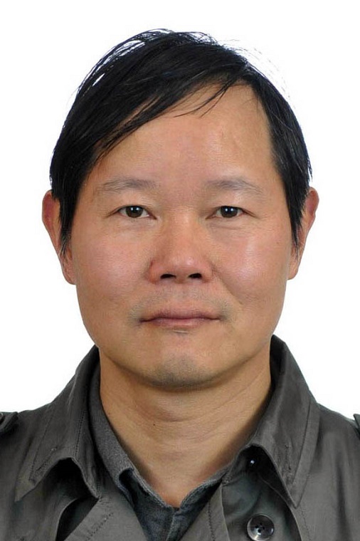 Zhihua Mao (毛志华)合作论文数State Key Laboratory of Satellite Ocean Environment Dynamics, Second Institute of Oceanography, Ministry of Natural Resources;Shanghai Institute of Technical Physics, Chinese Academy of Sciences;School of Oceanography, Shanghai Jiao Tong University4F. Loyer合作论文数4G. Sénécal合作论文数4
 Eric Petit合作论文数University Rennes1 UMR 6552, Ethologie-Evolution-Ecologie, Station Biologique Paimpont 35380 France4
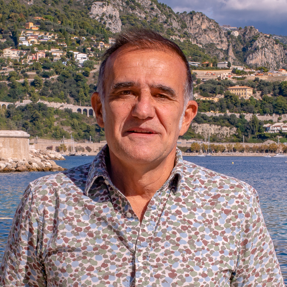 Herve Claustre合作论文数Laboratoire d'Oceanographie de Villefranche, CNRS;Sorbonne University4
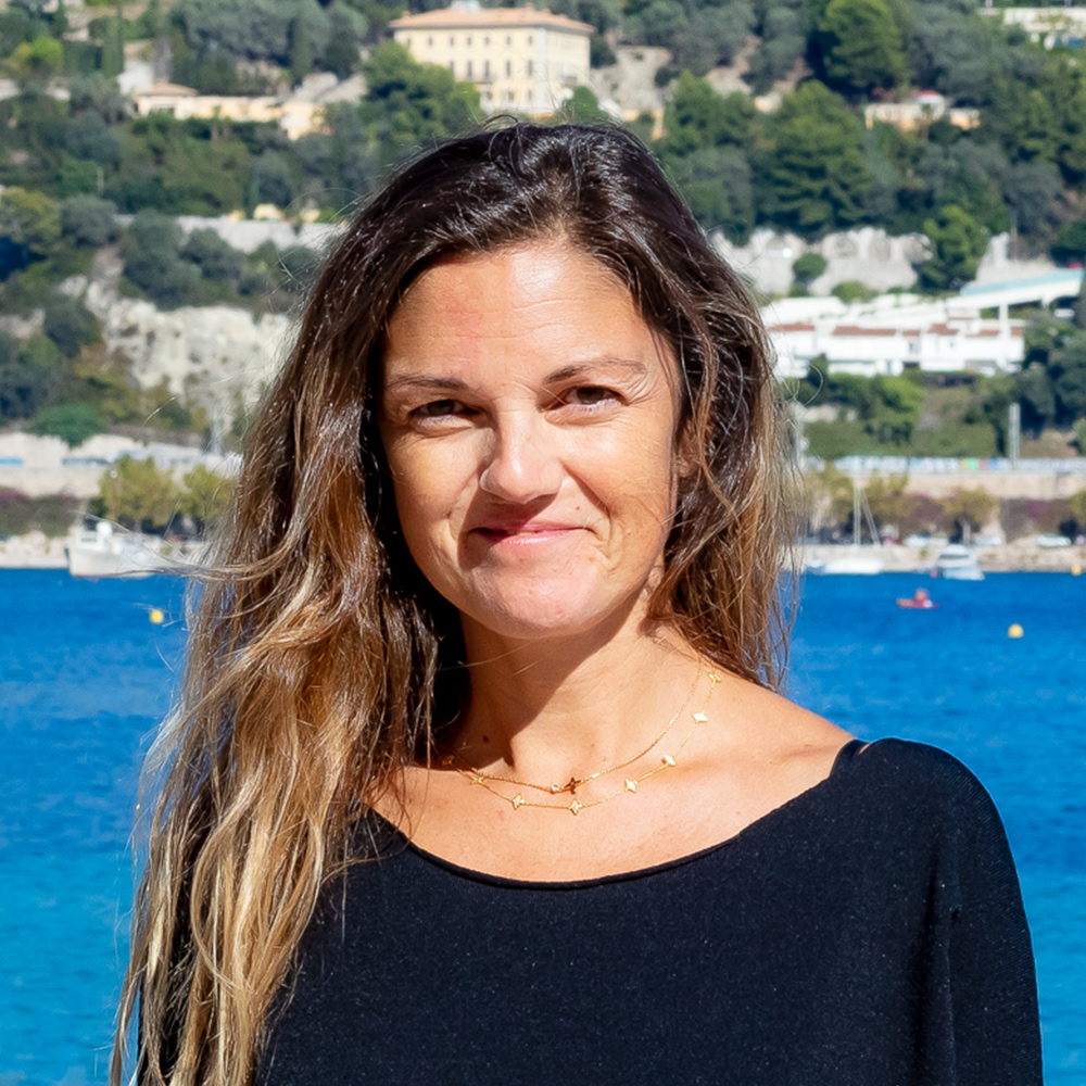 Julia Uitz合作论文数Laboratoire d’Oceanographie de Villefranche, Institut de la Mer de Villefranche,4Alain Savalle合作论文数3M. Ozille合作论文数3E. Swartvagher合作论文数3Trung-Kien Tran合作论文数3Nguyen Van Thao合作论文数3Kai Zhang合作论文数3




