US health care is fragmented by a lack of uniform effective care and a fee-for-service payment system. Fee-for-service is a factor in the high cost of health care in the US, and pay-for-performance systems may be a more manageable method for payment to control costs and manage quality.Pay-for-performance would mean that payments are no longer made on a case-by-case basis, but in ‘global payments’ to overseeing bodies known as accountable care organizations (ACOs).If concepts such as the arrangement of ACOs work under the Affordable Care Act, then there is hope that national levels for the uninsured will mimic the improvements in Massachusetts in the past decade. ACOs are the next step under reform, but where are we really headed? Historically, difficult economic times have resulted in pooling of health services to develop integrated delivery systems such as the Mayo Clinic and Kaiser Permanente. Integrated delivery systems streamline care by better directing the care of the patient through an autonomous system rather than through costly, fragmented and often unnecessary care. These systems learn from their strengths and weaknesses, and improve access of patients to the proper modalities of care on a timely basis. The US has an excellent opportunity to achieve expanded health coverage and reform of the delivery system in this manner.Ultimately, ACOs are capable of starting America down a path towards universal health care by shaping organizations of providers, but time will present a greater picture of whether the US can adopt this framework.
In this paper, we present a challenging data set for use in a variety of mobile robotic navigation tasks. Based on the data set that we released previously, we further extend its capability by annotating the laser range data. Apart from the laser range data, the dead-reckoning trajectory and the tri-camera imagery, the true segmentation differentiating between objects and the true moving object detection (MOD) discriminating moving objects are also annotated. The data set is intended for extensive evaluation of localization, mapping and MOD by providing highly accurate relative pose, object segmentation and MOD. All data are synchronized, carefully annotated and formatted in space-delimited plaintext format. We also provide an interactive web interface to facilitate the access to the data and the annotations.
Simultaneous Localization and Mapping (SLAM) has been an active area of research for several decades, and has become a foundation of indoor mobile robotics. Although the scale and quality of results has improved markedly in that time period, no current technique can effectively handle city-sized urban areas. The Global Positioning System (GPS) is an extraordinarily useful source of localization information. Unfortunately, the noise characteristics of the system are complex, arising from a large number of sources, some of which have large autocorrelation. Incorporation of GPS signals into SLAM algorithms requires using low-level system information and explicit models of the underlying system to appropriately make use of the information. The potential benefits of combining GPS and SLAM include increased robustness, increased scalability, and improved accuracy of localization. This proposal will present a theoretical background for GPS-SLAM fusion, initial results in simulation, and initial results using data gathered near the Carnegie Mellon Qatar Campus. Future work will look into specific GPS-SLAM pairings, and demonstrate the ability to generate large-scale maps of urban areas.
In this paper we propose an efficient preconditioned conjugate gradients (PCG) approach to solving large-scale SLAM problems. While direct methods, popular in the literature, exhibit quadratic convergence and can be quite efficient for sparse problems, they typically require a lot of storage and efficient elimination orderings to be found. In contrast, iterative optimization methods only require access to the gradient and have a small memory footprint, but can suffer from poor convergence. Our new method, subgraph preconditioning, is obtained by re-interpreting the method of conjugate gradients in terms of the graphical model representation of the SLAM problem. The main idea is to combine the advantages of direct and iterative methods, by identifying a sub-problem that can be easily solved using direct methods, and solving for the remaining part using PCG. The easy sub-problems correspond to a spanning tree, a planar subgraph, or any other substructure that can be efficiently solved. As such, our approach provides new insights into the performance of state of the art iterative SLAM methods based on re-parameterized stochastic gradient descent. The efficiency of our new algorithm is illustrated on large datasets, both simulated and real.
Depending on reflection of detected object to light,infrared photoelectric sensors translate information of obstruction to electronic signal of connecting electric circuit to detect the obstruction.A microcomputer shows sensors' attitude and their detective speed,and it also controls a motor for an intelligent robot to go ahead along the line and keep away from obstruction.The result proved the effectiveness of this intelligent vehicle.
We believe that machine learning can be used to help diabetics and care providers manage diabetes by predicting the effect that behaviors have on blood glucose. This when coupled with telemedicine could help care providers provide better individualized therapy more frequently. Currently, diabetics might get 15 minutes of interaction with a health expert during a checkup, and in that amount Of time the physician must quickly evaluate the patient's health to offer therapy advice. The Intelligent Diabetes Assistant (IDA) addresses this problem by remotely collecting data, instantaneously sharing that data with a physician, and automatically processing the data to reveal important patterns. The system makes data collection more efficient for the patient, and it will make data analysis more efficient for the care team. We have conducted a two week longitudinal study tracking the lifestyle, nutrition, and blood glucose readings of 10 diabetics using IDA.
We presenta fast, robust method for registering successive laser rangefinder scans. Correspondences between the current scan and previous scans are determined. Gaussian uncertainties of the correspondences are generated from the data, and are used to fuse the data together into a unified egomotion estimate using a Kalman process. Robustness is increased by using a RANSAC variant to avoid invalid point correspondences. The algorithm is very fast; computational and memory requirements are O(nlogn) where n is the number of points in a scan. Additionally, a covariance suitable for use in SLAM and filter techniques is cogenerated with the egomotion estimate. Results in large indoor environments are presented.
This paper describes autonomous vehicle and driver assistance research beginning with the 1997 National Automated Highway System Consortium Demonstration. As a microcosm of the community at large we discuss how Carnegie Mellon autonomous vehicle research has progressed in the last decade.Since the demonstration we have formed two companies: AssistWare became a leading developer of lane departure warning systems; and, Applied Perception which emphasized off-road navigation and perception research. In parallel, we have competed in the DARPA Grand Challenges and won the Urban Challenge. Each of these endeavors has deepened our understanding of what it will take to broadly deploy autonomous vehicles.
Simultaneous localization, mapping and moving object tracking (SLAMMOT) involves both simultaneous localization and mapping (SLAM) in dynamic environments and detecting and tracking these dynamic objects. In this paper, a mathematical framework is established to integrate SLAM and moving object tracking. Two solutions are described: SLAM with generalized objects, and SLAM with detection and tracking of moving objects (DATMO). SLAM with generalized objects calculates a joint posterior over all generalized objects and the robot. Such an approach is similar to existing SLAM algorithms, but with additional structure to allow for motion modeling of generalized objects. Unfortunately, it is computationally demanding and generally infeasible. SLAM with DATMO decomposes the estimation problem into two separate estimators. By maintaining separate posteriors for stationary objects and moving objects, the resulting estimation problems are much lower dimensional than SLAM with generalized objects. Both SLAM and moving object tracking from a moving vehicle in crowded urban areas are daunting tasks. Based on the SLAM with DATMO framework, practical algorithms are proposed which deal with issues of perception modeling, data association, and moving object detection. The implementation of SLAM with DATMO was demonstrated using data collected from the CMU Navlab11 vehicle at high speeds in crowded urban environments. Ample experimental results shows the feasibility of the proposed theory and algorithms.
Field robots do not operate in factories or other controlled settings, but rather operate outdoors, underwater, underground, or even on other planets. They are characterized by a focus on real applications, and on operation in complex terrain. Field robots are often large vehicles, and often have forceful interactions with their workspace. Given their complex setting and complex (and often dangerous) tasks, most field robots are not fully autonomous: a great deal of effort goes into the user interface, providing mixed modes of human and robot interaction.
Providing drivers with comprehensive assistance systems has long been a goal for the automotive industry. The challenge is on many fronts, from building sensors, analyzing sensor data, automated understanding of traffic situations and appropriate interaction with the driver. These issues are discussed with the example of a collision warning system for transit buses.
The Navlab group at Carnegie Mellon University has a long history of development of automated vehicles and intelligent systems for driver assistance. The earlier work of the group concentrated on road following, cross-country driving, and obstacle detection. The new focus is on short-range sensing, to look all around the vehicle for safe driving. The current system uses video sensing, laser rangefinders, a novel light-stripe rangefinder, software to process each sensor individually, and a map-based fusion system. The complete system has been demonstrated on the Navlab 11 vehicle for monitoring the environment of a vehicle driving through a cluttered urban environment, detecting and tracking fixed objects, moving objects, pedestrians, curbs, and roads.
Accomplishing simultaneous localization and mapping (SLAM) in very large city environments is a great challenge because of theoretical and practical issues on computational complexity, dynamic environment, representation and data association. In this paper, we describe practical algorithms for dealing with the representation issues. Feature-based, grid-based and direct methods are integrated into the framework of the hierarchical object based representation. The sampling and correlation based range image matching algorithm is developed to tackle the problem arising from uncertain, sparse and featureless data in outdoor environments. Experimental results of a 800 meter /spl times/ 600 meter neighborhood demonstrate the feasibility of city-sized SLAM.
PdaDriver is a Personal Digital Assistant (PDA) system for vehicle teleoperation. It is designed to be easy-to-deploy, to minimize the need for training, and to enable effective remote driving through multiple control modes. This paper presents the motivation for PdaDriver, its current design, and recent outdoor tests with a mobile robot.
The Navlab group at Carnegie Mellon University has a long history of development of automated vehicles and intelligent systems for driver assistance. The earlier work of the group concentrated on road following, cross-country driving, and obstacle detection. The new focus is on short-range sensing, to look all around the vehicle for safe driving. The current system uses video sensing, laser rangefinders, a novel light-stripe rangefinder, software to process each sensor individually, a map-based fusion system, and a probability based predictive model. The complete system has been demonstrated on the Navlab 11 vehicle for monitoring the environment of a vehicle driving through a cluttered urban environment, detecting and tracking fixed objects, moving objects, pedestrians, curbs, and roads.
Knowledge of the location of curbs, walls, or barriers is important for guidance of vehicles or for the understanding of their surroundings. We have developed a method to detect such continuous objects alongside and in front of a host vehicle. We employ a laser line stripper, a vehicle state estimator, a video camera, and a laser scanner to detect the object at one location, track it alongside the vehicle, search for it in front of the vehicle and eliminate erroneous readings caused by occlusion from other objects.
Detection and tracking of moving objects (DATMO) in crowded urban areas from a ground vehicle at high speeds is difficult because of a wide variety of targets and uncertain pose estimation from odometry and GPS/DGPS. In this paper we present a solution of the simultaneous localization and mapping (SLAM) with DATMO problem to accomplish this task using ladar sensors and odometry. With a precise pose estimate and a surrounding map from SLAM, moving objects are detected without a priori knowledge of the targets. The interacting multiple model (IMM) estimation algorithm is used for modeling the motion of a moving object and to predict its future location. The multiple hypothesis tracking (MHT) method is applied to refine detection and data association. Experimental results demonstrate that our algorithm is reliable and robust to detect and track pedestrians and different types of moving vehicles in urban areas.
Collaborative control is a teleoperation system model based on human–robot dialogue. With this model, the robot asks questions to the human in order to obtain assistance with cognition and perception. This enables the human to function as a resource for the robot and help to compensate for limitations of autonomy. To understand how collaborative control influences human–robot interaction, we performed a user study based on contextual inquiry (CI). The study revealed that: (1) dialogue helps users understand problems encountered by the robot and (2) human assistance is a limited resource that must be carefully managed.
Learning spatial models from sensor data raises the challenging data association problem of relating model parameters to individual measurements. This paper proposes an EM-based algorithm, which solves the model learning and the data association problem in parallel. The algorithm is developed in the context of the the structure from motion problem, which is the problem of estimating a 3D scene model from a collection of image data. To accommodate the spatial constraints in this domain, we compute virtual measurements as sufficient statistics to be used in the M-step. We develop an efficient Markov chain Monte Carlo sampling method called chain flipping, to calculate these statistics in the E-step. Experimental results show that we can solve hard data association problems when learning models of 3D scenes, and that we can do so efficiently. We conjecture that this approach can be applied to a broad range of model learning problems from sensordata, such as the robot mapping problem.
Teleoperation can be improved if humans and robots work as partners, exchanging information and assisting one another to achieve common goals. In this paper, we discuss the importance of collaboration and dialogue in human-robot systems. We then present collaborative control, a system model in which human and robot collaborate, and describe its use in vehicle teleoperation.
 Terrence Fong合作论文数NASA Ames Research Center19
 Takeo Kanade合作论文数Robotics Institute, Carnegie Mellon University16
 Dean Pomerleau合作论文数Fish School16
 Martial Hebert合作论文数Robotics Institute, Carnegie Mellon University;School of Computer Science, Carnegie Mellon University13
 Charles Baur合作论文数12
 Christoph Mertz合作论文数Robotics Institute,Carnegie Mellon University12
 Frank Dellaert合作论文数GVU Center, College of Computing, Georgia Institute of Technology;School of Interactive Computing, College of Computing, Georgia Institute of Technology;Verdant Robotics11
 Jay Gowdy合作论文数Advanced Construction Robotics, Inc.11
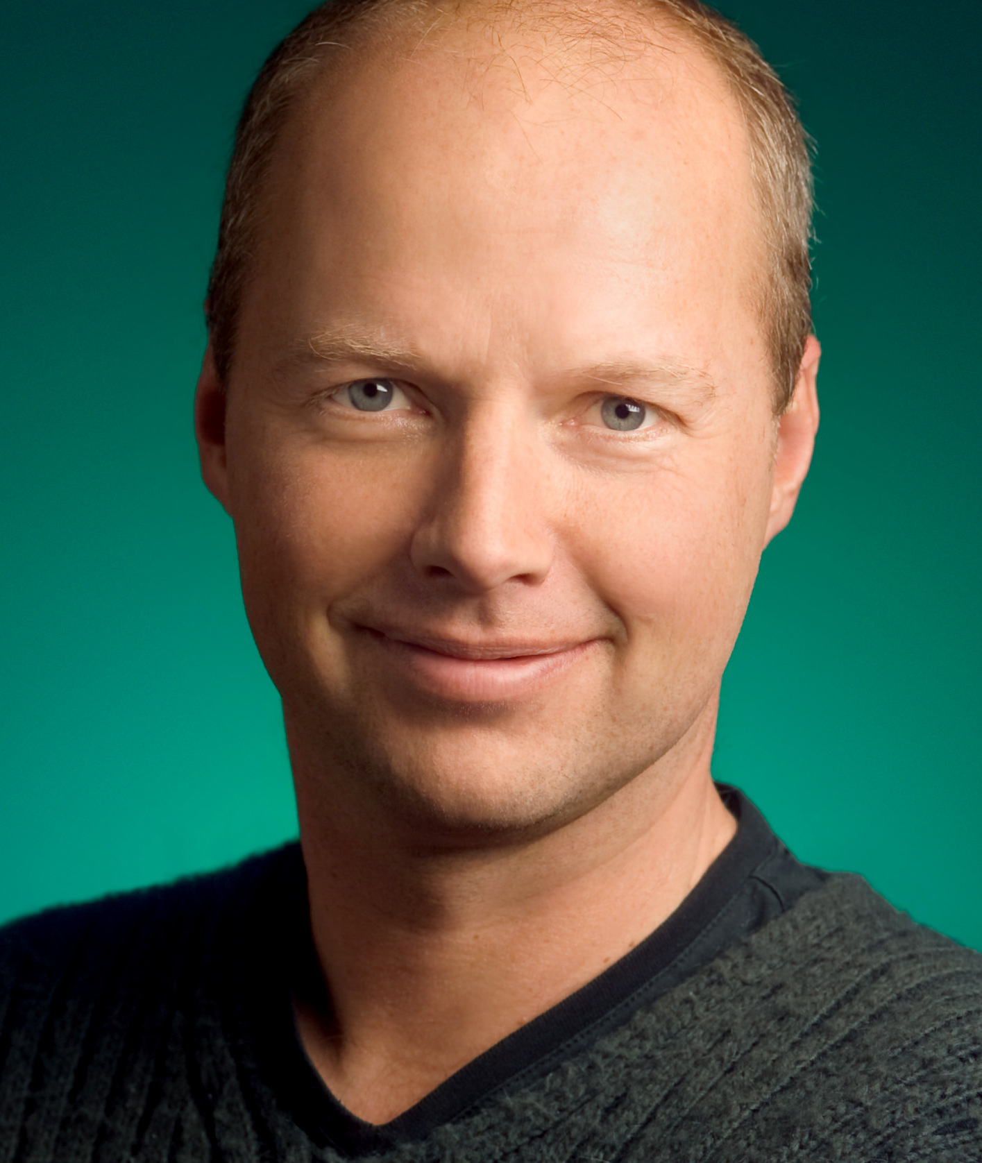 Sebastian Thrun合作论文数Stanford University;Kitty Hawk Corporation;Udacity8
 Arne Suppé合作论文数7
 Rahul Sukthankar合作论文数Google DeepMind6Todd Jochem合作论文数6
 Sue Mcneil合作论文数Dept Civil & Environm Engn, Univ Delaware5
 Steve Shafer合作论文数Swisslog Healthcare5
 Chieh-Chih Wang合作论文数Department of Electrical and Computer Engineering, National Chiao Tung University5Justin Carlson合作论文数5
 David Wettergreen合作论文数Mechanical Engineering Department, College of Engineering, Carnegie Mellon University;The Robotics Institute, School of Computer Science, Carnegie Mellon University;Mesh Robotics LLC5Jill D. Crisman合作论文数4
 Parag H. Batavia合作论文数Carnegie Mellon University4Teruko Yata合作论文数4
 Dave Duggins合作论文数Robotics Institute,Carnegie Mellon University4David Duggins合作论文数4CC Wang合作论文数3
 Liang Zhao合作论文数Mu Tech3
 Tony Stentz合作论文数Robotics Institute, Carnegie Mellon University;Aurora3
 Steve Seitz合作论文数Paul G. Allen School of Computer Science & Engineering, University of Washington;Google3John Hancock合作论文数3
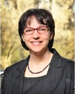 Jennifer S. Kay合作论文数Department of Computer Science, College of Science & Mathematics, Rowan University3
 Bob Wang合作论文数3Omead Amidi合作论文数3
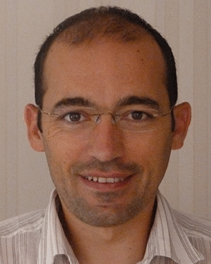 Romuald Aufrère合作论文数UMR 6602 du CNRS, Université Blaise Pascal;e-mail: {aufrere,chapuis,chausse}@lasmea.univ-bpclermont.fr, Tel.: +33-4-73407256, Fax: +33-4-73407262 FR;LASMEA, Université Blaise Pascal3
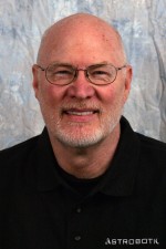 William (Red) L. Whittaker合作论文数The Robotics Institute, Carnegie Mellon University3
 John Kozar合作论文数2DA Pomerleau合作论文数2
 Mel W. Siegel合作论文数The Robotics Institute, Carnegie Mellon University2T. Williamson合作论文数2D. Langer合作论文数2
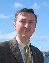 Alberto Broggi合作论文数Dipartimento di Ingegneria dell'Informazione, Universita di Parma;VisLab srl2Todd Williamson合作论文数2Rob Maclaughlin合作论文数2
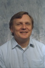 Hans P. Moravec合作论文数Robotics Institute, Carnegie Mellon University2
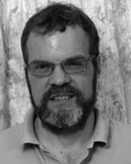 Robert A. Maclachlan合作论文数Robotics Institute, Carnegie Mellon University2
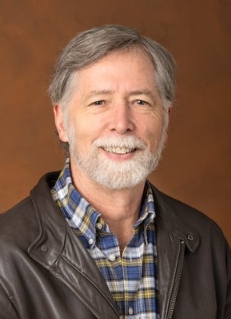 Larry Matthies合作论文数Jet Propulsion Laboratory, California Institute of Technology2David L. Duke合作论文数2L Zhao合作论文数1JS Kay合作论文数1A Stentz合作论文数1Todd M. Jochem合作论文数1K Kluge合作论文数1




