Mountain glaciers around the globe are retreating rapidly, but the exact mechanisms causing the retreat are not well understood. Is warming of the atmosphere the key driver? What are the roles of changes in surface albedo due to contaminants and snow optical grain size and surface roughness? Improved understanding of the response of mountain glaciers to global and environmental change is key to answering these questions. A staring instrument that provides measurements from multiple viewing and illumination angles enables simultaneous measurement of 3D surface structure, including texture, material characteristics, and albedo. Such measurements make it possible to determine melt due to absorbed solar energy separately from melt due to other sources. The International Space Station (ISS) provides a possible host platform for a staring instrument that could access all tropical and most temperate mountain glaciers. The non-sun-synchronous orbit enables varying solar illumination angles.
Storing, transporting, analyzing, and visualizing rapidly growing quantities of data is a significant challenge in astronomy. The Automated Movie Production Environment Distribution and Display (AMPED) Pipeline aims to enhance dataset usage through "movie" visualization.
Spaceborne persistent multi-angle imaging allows staring at selected targets during an orbit pass. From its vantage point on the International Space Station (ISS) a persistent Earth imaging telescope would provide hundreds of high-resolution images simultaneously. Observations could be in visible and SWIR bands as it stares at a scene of interest. These images provide rich multi-angle stereo views enabling understanding of rapidly changing Earth features with many applications to Earth science and disaster response. Current academic state-of-the-art is driven by single images taken with a near nadir view. Persistent imaging could address NASA's goal of understanding how and why the Earth's environment is changing, and could be used for forecasting and mitigating the effects of natural disasters. Specifically such a mission could be used to answer the questions: 1) How are Earth's vulnerable systems reflecting changes in climate? and 2) What processes and features characterize the magnitude and extent of disasters? A mission would meet geomorphologists' requirements observing changing features such as landslides, earthquakes, floods, volcanoes, and glaciers.
The QuakeSim Project improves understanding of earthquake processes by integrating model applications and various heterogeneous data sources within a web services environment. The project focuses on the earthquake cycle and related crustal deformation. Spaceborne GPS and Interferometric Synthetic Aperture data provide information on near-term crustal deformation, while paleoseismic geologic data provide longer-term information on earthquake fault processes. These data sources are integrated into QuakeSim's QuakeTables database and are accessible by users or various model applications. An increasing amount of UAVSAR data is being added to the QuakeTables database through a map browsable interface. Model applications can retrieve data from QuakeTables or remotely served GPS velocity data services or users can manually input parameters into the models. Pattern analysis of GPS and seismicity data has proved useful for mid-term forecasting of earthquakes and for detecting subtle changes in crustal deformation. The GPS time series analysis has also proved useful for detecting changes in processing of the data. Development of the QuakeSim computational infrastructure has benefitted greatly from having the user in the development loop. Improved visualization tools enable more efficient data exploration and understanding. Tools must provide flexibility to science users for exploring data in new ways, but also must facilitate standard, intuitive, and routine uses for end users such as emergency responders.
Advances in understanding earthquakes require the integration of models and multiple distributed data products. Increasingly, data are acquired through large investments, and utilizing their full potential requires a coordinated effort by many users, independent researchers, and groups who are often distributed both geographically and by expertise.
Mapping the Moon's topography using Earth based radar interferometric measurements by the Goldstone Solar System Radar (GSSR) has been done several times since the mid 1990s. In 2008 we reported at this conference the generation of lunar topographic maps having approximately 4 m height accuracy at a horizontal posting of 40 m. Since then GSSR radar has been improved to allow 40 MHz bandwidth imaging and consequently obtained images and interferograms with a resolution of about 4 m in range by 5 m in azimuth. The long synthetic aperture times of approximately 90 minutes in duration necessitated a migration from range/Doppler image formation techniques to spotlight mode processing and autofocusing methods. The improved resolution imagery should permit the generation of topographic maps with a factor of two better spatial resolution with about same height accuracy. Coupled the with the recent availability of new lidar topography maps of the lunar surface made by orbiting satellites of Japan and the United States the geodetic control of the radar generated maps products can be improved dramatically. This paper will discuss the hardware and software improvements made to the GSSR and present some of the new high resolution products.
 Andrea Donnellan合作论文数Jet Propulsion Laboratory, Pasadena, CA, USA4
 russell knight合作论文数2
 Bruce G. Bills合作论文数2
 John Rundle合作论文数Department of Physics and Astronomy, University of California, Davis;The Santa Fe Institute2
 Marlon Pierce合作论文数Indiana University2
 Dennis Mcleod合作论文数Computer Science Department, University of Southern California;Semantic Information Research Laboratory2
 Geoffrey Fox合作论文数Department of Physics, College of Arts and Sciences, Indiana University;Department of Intelligent Systems Engineering, Indiana University;Community Grid Laboratory, Indiana University;Digital Science Center of Pervasive Technology Institute;School of Engineering and Applied Science, University of Virginia2
 Lisa Grant Ludwig合作论文数University of California2
 Jay Parker合作论文数2
 Joseph J. Green合作论文数2Ramon Arrowsmith合作论文数1
 Leif Harcke合作论文数1rami alghanmi合作论文数1nick marechal合作论文数1grant karamyan合作论文数1
 Clement G. Lee合作论文数1barbara a wilson合作论文数1
 Anne Lilje合作论文数Sandia National Laboratories, Albuquerque, NM, USA1
 Bloom, R.M.合作论文数1Dickinson, R.合作论文数1Weintraub, L.合作论文数1
 Meera Srinivasan合作论文数1Gurrola, E.合作论文数1
 Sangho Yun合作论文数1
 Bernard Hallet合作论文数Department of Earth and Space Sciences, College of the Environment, University of Washington1S. Suzuki合作论文数1
 Lonnie Thompson (郎尼·汤姆森)合作论文数School of Earth Sciences, The Ohio State University1
 Paul Morin合作论文数J2 Geomatics1
 Joseph Jao合作论文数1
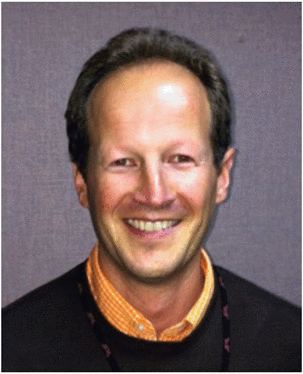 Renaud Goullioud合作论文数1
 Margaret Glasscoe合作论文数1
 Ted Scambos合作论文数Earth Science and Observation Center, Cooperative Institute for Research in Environmental Sciences, University of Colorado Boulder1
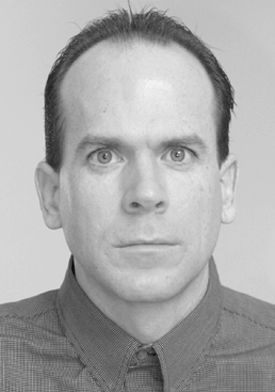 Kevin J. Quirk合作论文数1
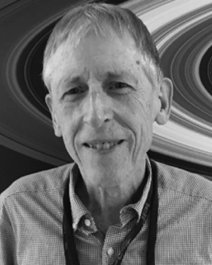 Martin A. Slade合作论文数1M. J. Underhill合作论文数1Jay D. Goguen合作论文数1
 Scott Hensley合作论文数Jet Propulsion Laboratory, National Aeronautics and Space Administration1
 Robert Granat合作论文数The City College of New York1
 Adnan Ansar合作论文数Jet Propulsion Laboratory, California Institute of Technology1




