NASA’s Applied Sciences Program (ASP) has the primary responsibility to accelerate the use of NASA data and science results in applications and to help solve problems important to society and the economy. The primary goal of the ASP Program is to improve future and current operational systems by infusing them with scientific knowledge of the Earth system gained through space-based observation, assimilation of new observations, and development and deployment of enabling technologies, systems, and capabilities. This paper describes the NASA’s Water Management Applications Program and opportunities for the water resources community to participate.
There are a number of water resources management capabilities that have been developed and implemented by US and other water agencies. These are in the form of Decision Support Tools (DSTs) that are used for water resources planning and management. The usefulness of these DSTs is not limited to the region where they were developed and validated; however, the one factor preventing the adaptation of these systems commonly used in the U.S. is the lack of sufficient data to drive them. These DSTs are available for use almost anywhere in the world if these data problems can be overcome. Satellite measured hydrological variables and remote sensing science products have the potential to overcome these data problems and provide water management data for a region with little or no hydrometerological data.
Results of radiometric measurements over bare and vegetated fields with dual-polarized microwave radiometers at 1.4-GHz and 5-GHz frequencies are presented. The measured brightness temperatures over bare fields are shown to compare favorably with those calculated from radiative transfer theory with two constant parameters characterizing surface roughness effect. The presence of vegetation cover is found to reduce the sensitivity to soil moisture variation. This sensitivity reduction is generally more pronounced the denser the vegetation cover and the higher the frequency of observation. The effect of vegetation cover is also examined with respect to the measured polarization factor at both frequencies. With the exception of dry corn fields, the measured polarization factor over vegetated fields is found appreciably reduced compared to that over bare fields. A much larger reduction in this factor is found at 5 GHz than at 1.4 GHz.
This paper starts with discussion of the availability of remote sensing data, their resolution in time, space and spectral bands. Possibilities of integration of remote sensing (RS) and other data are presented along with an example of merging Landsat data and a digital soil map to generate spatially distributed soil storage capacity. This serves as a basis for the use of the entropy concept in order to generate Hydrological Response Units. The potential of RS data to be used in real time is demonstrated for the problem of flood forecasting and control. The use of RS data for the estimation of seasonally varying parameters of hydrological models and for long-term changes (e.g. land-use changes) is demonstrated. Future perspectives are presented in the context of expected developments of new hydrological models adapted to the specific properties of remote sensing data and with respect to future sensors, particularly those to be flown on satellites in the near future. The potential of these sensors for hydrological modelling and water resources management purposes is highlighted.
The authors of this book have been approached by consulting engineers: "You know about remote sensing and thus you can obtain hydrological information where no data exist, even without ground measurem
This collection of 74 papers presents aspects of remote sensing technology for use in earth science, ocean and sea ice applications.
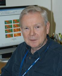 Thomas Jackson合作论文数Hydrology and Remote Sensing Laboratory, Beltsville Agricultural Research Center, Agricultural Research Service, United States Department of Agriculture11
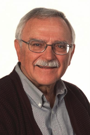 Thomas J. Schmugge合作论文数Physical Science Laboratory, New Mexico State University10
 Jiancheng Shi (施建成)合作论文数National Space Science Center, Chinese Academy of Sciences;University of Chinese Academy of Sciences7
 giovanna cecchi合作论文数6David Toll合作论文数6
 Mutlu Özdoğan合作论文数Department of Forest and Wildlife Ecology, College of Agricultural & Life Sciences, University of Wisconsin System/Nelson Institute for Environmental Studies, University of Wisconsin System5
 Matthew Rodell合作论文数NASA Goddard Space Flight Center5Eugenio Zilioli合作论文数5Nandish M. Mattikalli合作论文数Laboratory for Hydrospheric Processes, NASA Goddard Space Flight Center4James R. Wang合作论文数Laboratory for Hydrospheric Processes, NASA Goddard Space Flight Center4D. L. Toll合作论文数3p e oneill合作论文数3Jr Wang合作论文数3P. C. Dubois合作论文数3
 Shahid Habib合作论文数Goddard Space Flight Center3
 Jakob J. van Zyl合作论文数Jet Propulsion Laboratory, California Institute of Technology3
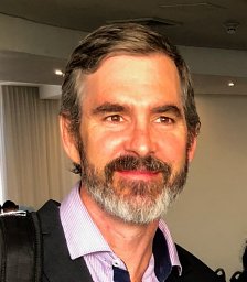 John D. Bolten合作论文数3J. C. Shiue合作论文数3
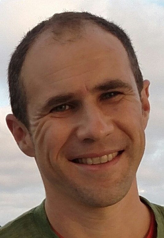 Benjamin Zaitchik合作论文数Morton K. Blaustein Department of Earth & Planetary Sciences, Krieger School of Arts & Sciences, Johns Hopkins University3W.I. Gould合作论文数2a rango合作论文数2
 Hsu, A.Y.合作论文数2
 Laura Hess合作论文数Earth Research Institute, University of California, Santa Barbara2
 Paul R. Houser合作论文数NASA Goddard Space Flight Center2
 Jerry C. Ritchie合作论文数2
 Eric Wood合作论文数Department of Civil and Environmental Engineering, Princeton University2Jakob J Vanzyl合作论文数2
 Kristi Arsenault合作论文数Hydrol Sci Lab, Goddard Space Flight Ctr2James E. Mcmurtrey合作论文数2Gert A. Schultz合作论文数2h j bolle合作论文数2
 Peggy O'Neill合作论文数Hydrological Sciences Laboratory, Goddard Space Flight Center, NASA;Jet Propulsion Laboratory, NASA2
 Yann Kerr合作论文数Center for Hydrology - Hydrological Observatory, HOBE;CESBIO, CNES, CNRS, IRD, INRAE2e j langham合作论文数1l j cutrona合作论文数1j eckerman合作论文数1k brubaker合作论文数1j p goutorbe合作论文数1Cm Marino合作论文数1alexander a zelensky合作论文数1brad doorn合作论文数1Joshua Rhoads合作论文数1rick lawford合作论文数1A. Tinga合作论文数1a brasa合作论文数1c j alonge合作论文数1john j nigro合作论文数1salman habib合作论文数1james triggs合作论文数1




