For the first time ever, convection-resolving forecasts at 1 km grid spacing were produced in realtime in spring 2009 by the Center for Analysis and Prediction of Storms (CAPS) at the University of Oklahoma. The forecasts assimilated both radial velocity and reflectivity data from all operational WSR-88D radars within a domain covering most of the continental United States. In preparation for the realtime forecasts, 1 km forecast tests were carried out using a case from spring 2008 and the forecasts with and without assimilating radar data are compared with corresponding 4 km forecasts produced in realtime. Significant positive impact of radar data assimilation is found to last at least 24 hours. The 1 km grid produced a more accurate forecast of organized convection, especially in structure and intensity details. It successfully predicted an isolated severe-weather-producing storm nearly 24 hours into the forecast, which all ten members of the 4 km real time ensemble forecasts failed to predict. This case, together with all available forecasts from 2009 CAPS realtime forecasts, provides evidence of the value of both convection-resolving 1 km grid and radar data assimilation for severe weather prediction for up to 24 hours.
Observing system simulation experiments are performed using an ensemble Kalman filter to investigate the impact of surface observations in addition to radar data on convective storm analysis and forecasting. A multi-scale procedure is used in which different covariance localization radii are used for radar and surface observations. When the radar is far enough away from the main storm so that the low level data coverage is poor, a clear positive impact of surface observations is achieved when the network spacing is 20 km or smaller. The impact of surface data increases quasi-linearly with decreasing surface network spacing until the spacing is close to the grid interval of the truth simulation. The impact of surface data is sustained or even amplified during subsequent forecasts when their impact on the analysis is significant. When microphysics-related model error is introduced, the impact of surface data is reduced but still evidently positive, and the impact also increases with network density. Through dynamic flow-dependent background error covariance, the surface observations not only correct near-surface errors, but also errors at the mid- and upper levels. State variables different from observed are also positively impacted by the observations in the analysis.
School of Meteorology, Atmospheric Radar Research Center, University of Oklahoma, Norman, OklahomaSchool of Electrical and Computer Engineering, Atmospheric Radar Research Center, University of Oklahoma, Norman, OklahomaSchool of Meteorology, University of Oklahoma, Norman, OklahomaSchool of Civil Engineering and Environmental Science, University of Oklahoma, Norman, OklahomaCooperative Institute for Mesoscale Meteorological Studies, University of Oklahoma, Norman, OklahomaCORRESPONDING AUTHOR: Robert D. Palmer, Atmospheric Radar Research Center, University of Oklahoma, 120 David L. Boren Blvd., Suite 4610, Norman, OK 73072, E-mail: rpalmer@ou.edu
What breakthrough advances will petascale computing bring to various science and engineering fields? Experts in everything from astronomy to seismology envision the opportunities ahead and the impact they'll have on advancing our understanding of the world.
Mesoscale weather, such as convective systems, intense local rainfall resulting in flash floods and lake effect snows, frequently is characterized by unpredictable rapid onset and evolution, heterogeneity and spatial and temporal intermittency. Ironically, most of the technologies used to observe the atmosphere, predict its evolution and compute, transmit or store information about it, operate in a static pre-scheduled framework that is fundamentally inconsistent with, and does not accommodate, the dynamic behaviour of mesoscale weather. As a result, today's weather technology is highly constrained and far from optimal when applied to any particular situation. This paper describes a new cyberinfrastructure framework, in which remote and in situ atmospheric sensors, data acquisition and storage systems, assimilation and prediction codes, data mining and visualization engines, and the information technology frameworks within which they operate, can change configuration automatically, in response to evolving weather. Such dynamic adaptation is designed to allow system components to achieve greater overall effectiveness, relative to their static counterparts, for any given situation. The associated service-oriented architecture, known as Linked Environments for Atmospheric Discovery (LEAD), makes advanced meteorological and cyber tools as easy to use as ordering a book on the web. LEAD has been applied in a variety of settings, including experimental forecasting by the US National Weather Service, and allows users to focus much more attention on the problem at hand and less on the nuances of data formats, communication protocols and job execution environments.
In Spring, 2007, LEAD, using a trigger developed by NCSA/CORE, launched WRF forecasts in support of NOAA's Hazardous Weather Testbed (hwt.nssl.noaa.gov/Spring_2007/) (HWT); this was one of three aspects of LEAD's collaborations with the HWT which are described elsewhere in this session. The trigger determined when and where forecasts would take place by continuously monitoring and parsing Mesoscale Discussion and Severe Weather Watch products from the NOAA Storm Prediction Center via an RSS feed. 6-hour WRF forecast workflows were then launched, monitored, post-processed and archived by the workflow broker (http://broker.ncsa.uiuc.edu) . Typically, 18-km, singly-nested and 2-km triply nested forecasts were triggered automatically for each SPC bulletin, using NAM data and the WPS package for initialization. 20km ARPS Data Analysis System (ADAS) initialized WRF forecasts were also triggered. The domain centers of all WRF forecasts triggered automatically in this manner are shown in the figure below. Overall, more than 1000 forecasts were initiated in this manner.
1996: Single-Doppler wind retrieval in the moving frame of reference. data by methods of cross-correlation and variational analysis. A simple adjoint method of wind analysis for single-Doppler data. J. Clear air and microburst wind retrievals in the planetary boundary layer. 1995c: Forward variational four-dimensional data assimilation and prediction experiments using a storm-scale numerical model. 1991: Recovery of three-dimensional wind and temperature elds from simulated Doppler radar data. Wind and thermo-dynamic retrieval from single-Doppler measurements of a gust front observed during Phoenix II. 1990: Determination of the boundary layer airrow from a single Doppler radar. 1995: Adaptation of a single-Doppler velocity retrieval algorithm for use on a deep-convective storm. 1994a: Adjoint-method retrievals of low-altitude wind elds from single-Doppler reeectivity measured during Phoenix-II. 1994b: Adjoint-method retrievals of low-altitude wind elds from single-Dopper wind data. 1995: Simple adjoint retrievals of microburst winds from single-Doppler radar data. wind eld was required to obtain the thermodynamic information. 6. Conclusions The preceding discussion of wind retrieval techniques and radar data assimilation is in no way intended to be complete. We have not discussed any of the results pertaining to error analyses. Neither have we discussed the prospect of using radar data in assimilation \cycles" or the use of 4DVAR approaches involving the full equation set of a nonlinear weather prediction model. Both \simple" and \sophisticated" approaches have their own set of theoretical and practical diiculties that, for the most part, have limited their usage to simulated data or research mode experiments with real data. However, the preliminary results produced in this new eld suggest a potential for useful information to be extracted from single-Doppler radar data. These retrievals may prove to be useful tools in their own right as well as \adding value" to storm-scale numerical model forecasts. for their assistance with the research described herein. Sue Weygandt assisted with the gure preparation. A method for the initialization of the anelastic equations: Implications for matching models with observations. 1982: Statistical considerations in the estimation of divergence from single-Doppler radar and application to prestorm boundary-layer observations. A variational analysis method for retrieval of three-dimensional wind eld from single Doppler radar data. Figure 9: 2000 UTC predicted wind vectors and reeectivity eld at z = 2 km for run with radar data. Figure 8: 2000 UTC predicted wind vectors and reeectivity eld at z = 2 km for the control run. Fig. 7 depicts the observed reeectivity eld …
We are developing dynamic relational knowledge discovery methods for use on mesoscale weather data. Severe weather phenomena such as tornados, thunderstorms, hail, and floods, annually cause significant loss of life, property destruction, and disruption of the transportation systems. The annual economic impact of these mesoscale storms is estimated to be greater than $13B (Pielke and Carbone, 2002). Any mitigation of the effects of these storms would be beneficial. However, current techniques for predicting severe weather are tied to specific characteristics of the radar systems. Each new sensing system requires the development of new radar detection algorithms for detecting hazardous events. Our research focuses on developing new dynamic relational models that will enable meteorologists to improve their understanding of the formation of tornados and other severe weather events.
An Engineering Research Center for the Collaborative Adaptive Sensing of the Atmosphere (CASA) was formed in the fall of 2003 by the National Science Foundation to develop a dense network of small, low-cost, low-power radars that could collaboratively and adaptively sense the lower atmosphere (0 to 3 km above ground level). Such a network is expected to improve sensing near the ground dramatically through a process called distributive collaborative adaptive sensing. The CASA network is a dynamic, data-driven application system, whereby strategy for scanning is an optimized network solution among competing end-user needs and weather constraints. Decision making is made in real time, with end users providing automated or manual input, or both, to the system. Furthermore, each radar will have dual-polarization capability and signal processing designed to minimize ground clutter contamination. Data collected from the CASA network will be assimilated in real time for use in detection algorithms, numerical weather prediction and transportation models, and output disseminated to a wide array of end users. Because of distinct advantages of such a radar network, significant improvements are expected from the system, in analysis and prediction of surface weather conditions.
An Engineering Research Center for the Collaborative Adaptive Sensing of the Atmosphere (CASA) was formed in the fall of 2003 by the National Science Foundation to develop a dense network of small, low-cost, low-power radars that could collaboratively and adaptively sense the lower atmosphere (0 to 3 km above ground level). Such a network is expected to improve sensing near the ground dramatically through a process called distributive collaborative adaptive sensing. The CASA network is a dynamic, data-driven application system, whereby strategy for scanning is an optimized network solution among competing end-user needs and weather constraints. Decision making is made in real time, with end users providing automated or manual input, or both, to the system. Furthermore, each radar will have dual-polarization capability and signal processing designed to minimize ground clutter contamination. Data collected from the CASA network will be assimilated in real time for use in detection algorithms, numerical weather prediction and transportation models, and output disseminated to a wide array of end users. Because of distinct advantages of such a radar network, significant improvements are expected from the system, in analysis and prediction of surface weather conditions.
Two closely linked projects aim to dramatically improve storm forecasting speed and accuracy. CASA is creating a distributed, collaborative, adaptive sensor network of low-power, high-resolution radars that respond to user needs. LEAD offers dynamic workflow orchestration and data management in a Web services framework designed to support on-demand, real-time, dynamically adaptive systems
LEAD is a large-scale effort to build a service-oriented infrastructure that allows atmospheric science researchers to dynamically and adaptively respond to weather patterns to produce better-than-real time predictions of tornadoes and other “mesoscale” weather events. In this paper we discuss an architectural framework that is forming our thinking about adaptability and give early solutions in workflow and monitoring.
 Ming Xue合作论文数Center for Analysis and Prediction of Storms and School of Meteorology, University of Oklahoma12
 Stuart Feldman合作论文数6Bonnie Carroll合作论文数6Michael Stebbins合作论文数6Robert Miller合作论文数6Peter Schiffer合作论文数6
 Alexander Szalay合作论文数Department of Physics and Astronomy, Krieger School of Arts and Sciences, Johns Hopkins University;Department of Computer Science, Whiting School of Engineering, Johns Hopkins University;Institute for Data Intensive Engineering and Science, Johns Hopkins University;Eötvös University6
 Maxwell L Elliott合作论文数Department of Psychology & Neuroscience, Duke University6
 Lisa Tauxe (丽莎·托克斯)合作论文数Geosciences Research Division, Scripps Institution of Oceanography, University of California, San Diego6
 Alexa McCray合作论文数Department of Biomedical Informatics, Harvard Medical School;Department of Medicine, Beth Israel Deaconess Medical Center;Blavatnik Institute Biomedical Informatics, Harvard Medical School6
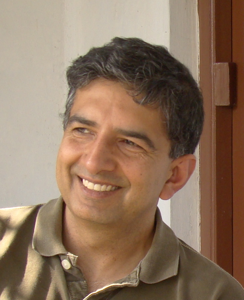 Salman Habib合作论文数Computational Science Division, Argonne National Laboratory;Kavli Institute for Cosmological Physics, University of Chicago;Northwestern Argonne Institute of Science and Engineering6
 James A. Hendler合作论文数Department of Computer Science, Rensselaer Polytechnic Institute6
 Francine Berman合作论文数Manning College of Information & Computer Sciences, University of Massachusetts Amherst;Berkman Klein Center for Internet and Society, Harvard University;Rensselaer Polytechnic Institute6
 Paul F. Uhlir合作论文数6
 Donna K. Ginther合作论文数Center for Science, Technology & Economic Policy, Institute for Policy & Social Research, The University of Kansas;Economics Department, College of Liberal Arts & Sciences, The University of Kansas;National Bureau of Economic Research;Life Course Centre, University of Queensland6
 Edward Seidel合作论文数University of Wyoming6
 Sarah M Nusser合作论文数Department of Statistics, College of Liberal Arts and Sciences, Iowa State University6
 Amy Brand合作论文数6
 John Hildebrand合作论文数Department of Neuroscience, College of Science, University of Arizona6
 Barend Mons合作论文数University of Rotterdam and6Heng Xu合作论文数5jili dong合作论文数4
 David J. Mclaughlin合作论文数Department of Plant Biology;University of Minnesota;Department of Plant Biology, University of Minnesota4
 Keith Brewster合作论文数3
 Michael Carroll合作论文数Department of Pediatrics, Boston Children's Hospital;Division of Immunology, Boston Children's Hospital;Harvard Medical School, Harvard University3
 Jidong Gao (郜吉东)合作论文数National Severe Storms Laboratory;Cooperative Institute for Mesoscale Meteorological Studies, University of Oklahoma3
 Michael L. Carroll合作论文数Norwegian Institute for Water Research3Stephen M. Prescott合作论文数2
 Jim Kurose合作论文数College ofInformation and Computer Sciences, University of Massachusetts Amherst2Edward Knobbe合作论文数2
 Roger A. Pielke合作论文数Center for Science and Technology Policy Research2
 Glen D Johnson合作论文数CACI Products Company2Steven M. Lazarus合作论文数2
 Kevin W. Thomas合作论文数Center for Analysis and Prediction of Storms, University of Oklahoma2
 Alan Shapiro合作论文数School of Meteorology;University of Oklahoma;School of Meteorology, University of Oklahoma2Jerald A. Brotzge合作论文数2
 Beth Plale合作论文数Luddy School of Informatics, Computing, and Engineering, Indiana University Bloomington2David Hinkle合作论文数2Elaine S. Godfrey合作论文数2
 V Chandrasekar合作论文数Walter Scott, Jr. College of Engineering, Colorado State University2Mingjing Tong合作论文数Center for Analysis and Prediction of Storms2
 Kong, Fanyou (孔凡铀)合作论文数Center for Analysis and Prediction of Storms, Oklahoma University;School of Meteorology, University of Oklahoma2Robert B. Wilhelmson合作论文数2
 Yun-Heng Wang合作论文数2Dennis Gannon合作论文数Department of Computer Science at Indiana University;Indiana Pervasive Technology Labs2
 Efi Foufoula-Georgiou合作论文数Departments of Civil and Environmental Engineering, Henry Samueli School of Engineering, University of California, Irvine;Departments of Earth System Science, University of California, Irvine;University of Minnesota2
 Daniel Reed合作论文数School of Computing, University of Utah2James (Jeff) Kimpel合作论文数1Bob Wilhelmson合作论文数1




