In this paper, fundamental phase characteristics of moving vehicles in synthetic aperture radar (SAR) data are reviewed. A 2D phase model for a moving point scatterer is expressed in terms of range and azimuth wavenumbers. The moving point scatterer impulse response is then the 2D Fourier transform of the associated complex sinusoid. Numerical computation of the 2D phase for arbitrary relative radar-point scatter motion is organized as a composition of functions expressing time, frequency and angle in terms of wavenumber vectors. An analytic model for the phase is subsequently derived in the special case that the Doppler cone angle is 90°. With that model it is observed that the map from velocity and acceleration to quadratic phase is not one-to-one and therefore the associated inverse problem is ill-posed. An example of moving vehicle Doppler energy dispersion and corresponding phase measured in clutter suppressed SAR image data is provided. Clutter suppression is achieved by application of spacetime adaptive processing.
During the 2008-2009 year, the Goldstone Solar System Radar was upgraded to support radar mapping of the lunar poles at 4 m resolution. The finer resolution of the new system and the accompanying migration through resolution cells called for spotlight, rather than delay-Doppler, imaging techniques. A new pre-processing system supports fast-time Doppler removal and motion compensation to a point. Two spotlight imaging techniques which compensate for phase errors due to (i) out of focus-plane motion of the radar and (ii) local topography, have been implemented and tested. One is based on the polar format algorithm followed by a unique autofocus technique, the other is a full bistatic time-domain backprojection technique. The processing system yields imagery of the specified resolution. Products enabled by this new system include topographic mapping through radar interferometry, and change detection techniques (amplitude and coherent change) for geolocation of the NASA LCROSS mission impact site.
Mapping the Moon's topography using Earth based radar interferometric measurements by the Goldstone Solar System Radar (GSSR) has been done several times since the mid 1990s. In 2008 we reported at this conference the generation of lunar topographic maps having approximately 4 m height accuracy at a horizontal posting of 40 m. Since then GSSR radar has been improved to allow 40 MHz bandwidth imaging and consequently obtained images and interferograms with a resolution of about 4 m in range by 5 m in azimuth. The long synthetic aperture times of approximately 90 minutes in duration necessitated a migration from range/Doppler image formation techniques to spotlight mode processing and autofocusing methods. The improved resolution imagery should permit the generation of topographic maps with a factor of two better spatial resolution with about same height accuracy. Coupled the with the recent availability of new lidar topography maps of the lunar surface made by orbiting satellites of Japan and the United States the geodetic control of the radar generated maps products can be improved dramatically. This paper will discuss the hardware and software improvements made to the GSSR and present some of the new high resolution products.
A stereometric SAR model for the terrain elevation error is derived which is applicable to general imaging geometries. Range and azimuth stereo sensitivity coefficients are defined which facilitate analysis of wide angle crossed track, as well as parallel track geometries. The geometries are described in terms of a local ground reference point and unit vectors defining the associated slant plane image pairs. Complex-valued image pair correlation is studied for the case of crossed track geometries, including variations with the terrain gradient relative to the slant plane. The associated Prati shift vector and shape of the region of spectral overlap (frequency response support intersection), which characterize the correlation, are also discussed.
 Leif Harcke合作论文数2
 grant karamyan合作论文数2Dickinson, R.合作论文数2Weintraub, L.合作论文数2Gurrola, E.合作论文数2
 Sangho Yun合作论文数2
 Scott Hensley合作论文数Jet Propulsion Laboratory, National Aeronautics and Space Administration2richard dickinson合作论文数1
 Clement G. Lee合作论文数1barbara a wilson合作论文数1
 Anne Lilje合作论文数Sandia National Laboratories, Albuquerque, NM, USA1
 Bloom, R.M.合作论文数1
 De Jong, E.M.合作论文数1
 Meera Srinivasan合作论文数1
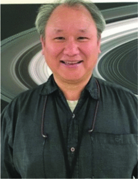 Joseph Jao合作论文数1
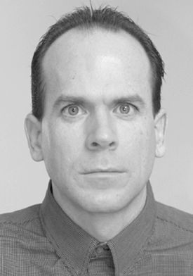 Kevin J. Quirk合作论文数1
 Martin A. Slade合作论文数1




