Localization and mapping is the foundational technology for augmented reality (AR) that enables sharing and persistence of digital content in the real world. While significant progress has been made, researchers are still mostly driven by unrealistic benchmarks not representative of real-world AR scenarios. In particular, benchmarks are often based on small-scale datasets with low scene diversity, captured from stationary cameras, and lacking other sensor inputs like inertial, radio, or depth data. Furthermore, ground-truth (GT) accuracy is mostly insufficient to satisfy AR requirements. To close this gap, we introduce a new benchmark with a comprehensive capture and GT pipeline, which allow us to co-register realistic AR trajectories in diverse scenes and from heterogeneous devices at scale. To establish accurate GT, our pipeline robustly aligns the captured trajectories against laser scans in a fully automatic manner. Based on this pipeline, we publish a benchmark dataset of diverse and large-scale scenes recorded with head-mounted and hand-held AR devices. We extend several state-of-the-art methods to take advantage of the AR specific setup and evaluate them on our benchmark. Based on the results, we present novel insights on current research gaps to provide avenues for future work in the community.
We present PatchmatchNet, a novel and learnable cascade formulation of Patchmatch for high-resolution multi-view stereo. With high computation speed and low memory requirement, PatchmatchNet can process higher resolution imagery and is more suited to run on resource limited devices than competitors that employ 3D cost volume regularization. For the first time we introduce an iterative multi-scale Patchmatch in an end-to-end trainable architecture and improve the Patchmatch core algorithm with a novel and learned adaptive propagation and evaluation scheme for each iteration. Extensive experiments show a very competitive performance and generalization for our method on DTU, Tanks & Temples and ETH3D, but at a significantly higher efficiency than all existing top-performing models: at least two and a half times faster than state-of-the-art methods with twice less memory usage. Code is available at https://github.com/FangjinhuaWang/PatchmatchNet.
We propose an online multi-view depth prediction approach on posed video streams, where the scene geometry information computed in the previous time steps is propagated to the current time step in an efficient and geometrically plausible way. The backbone of our approach is a real-time capable, lightweight encoder-decoder that relies on cost volumes computed from pairs of images. We extend it by placing a ConvLSTM cell at the bottleneck layer, which compresses an arbitrary amount of past information in its states. The novelty lies in propagating the hidden state of the cell by accounting for the viewpoint changes between time steps. At a given time step, we warp the previous hidden state into the current camera plane using the previous depth prediction. Our extension brings only a small overhead of computation time and memory consumption, while improving the depth predictions significantly. As a result, we outperform the existing state-of-the-art multi-view stereo methods on most of the evaluated metrics in hundreds of indoor scenes while maintaining a real-time performance. Code available: https://github.com/ardaduz/deep-video-mvs
Recent works on localization and mapping from privacy preserving line features have made significant progress towards addressing the privacy concerns arising from cloud-based solutions in mixed reality and robotics. The requirement for calibrated cameras is a fundamental limitation for these approaches, which prevents their application in many crowd-sourced mapping scenarios. In this paper, we propose a solution to the uncalibrated privacy preserving localization and mapping problem. Our approach simultaneously recovers the intrinsic and extrinsic calibration of a camera from line-features only. This enables uncalibrated devices to both localize themselves within an existing map as well as contribute to the map, while preserving the privacy of the image contents. Furthermore, we also derive a solution to bootstrapping maps from scratch using only uncalibrated devices. Our approach provides comparable performance to the calibrated scenario and the privacy compromising alternatives based on traditional point features.
Over the last years, visual localization and mapping solutions have been adopted by an increasing number of mixed reality and robotics systems. The recent trend towards cloud-based localization and mapping systems has raised significant privacy concerns. These are mainly grounded by the fact that these services require users to upload visual data to their servers, which can reveal potentially confidential information, even if only derived image features are uploaded. Recent research addresses some of these concerns for the task of image-based localization by concealing the geometry of the query images and database maps. The core idea of the approach is to lift 2D/3D feature points to random lines, while still providing sufficient constraints for camera pose estimation. In this paper, we further build upon this idea and propose solutions to the different core algorithms of an incremental Structure-from-Motion pipeline based on random line features. With this work, we make another fundamental step towards enabling privacy preserving cloud-based mapping solutions. Various experiments on challenging real-world datasets demonstrate the practicality of our approach achieving comparable results to standard Structure-from-Motion systems.
Augmented/mixed reality and robotic applications are increasingly relying on cloud-based localization services, which require users to upload query images to perform camera pose estimation on a server. This raises significant privacy concerns when consumers use such services in their homes or in confidential industrial settings. Even if only image features are uploaded, the privacy concerns remain as the images can be reconstructed fairly well from feature locations and descriptors. We propose to conceal the content of the query images from an adversary on the server or a man-in-the-middle intruder. The key insight is to replace the 2D image feature points in the query image with randomly oriented 2D lines passing through their original 2D positions. It will be shown that this feature representation hides the image contents, and thereby protects user privacy, yet still provides sufficient geometric constraints to enable robust and accurate 6-DOF camera pose estimation from feature correspondences. Our proposed method can handle single- and multi-image queries as well as exploit additional information about known structure, gravity, and scale. Numerous experiments demonstrate the high practical relevance of our approach.
Image-based localization is a core component of many augmented/mixed reality (AR/MR) and autonomous robotic systems. Current localization systems rely on the persistent storage of 3D point clouds of the scene to enable camera pose estimation, but such data reveals potentially sensitive scene information. This gives rise to significant privacy risks, especially as for many applications 3D mapping is a background process that the user might not be fully aware of. We pose the following question: How can we avoid disclosing confidential information about the captured 3D scene, and yet allow reliable camera pose estimation? This paper proposes the first solution to what we call privacy preserving image-based localization. The key idea of our approach is to lift the map representation from a 3D point cloud to a 3D line cloud. This novel representation obfuscates the underlying scene geometry while providing sufficient geometric constraints to enable robust and accurate 6-DOF camera pose estimation. Extensive experiments on several datasets and localization scenarios underline the high practical relevance of our proposed approach.
We propose a novel method for the geometric registration of semantically labeled regions. We approximate semantic regions by ellipsoids, and leverage their convexity to formulate the correspondence search effectively as a constrained optimization problem that maximizes the number of matched regions, and which we solve globally optimal in a Branch-and-Bound fashion. To this end, we derive suitable linear matrix inequality constraints which describe ellipsoid-to-ellipsoid assignment conditions. Our approach is robust to large percentages of outliers and thus applicable to difficult correspondence search problems. In multiple experiments we demonstrate the flexibility and robustness of our approach on a number of challenging vision problems.
Consensus maximization has proven to be a useful tool for robust estimation. While randomized methods like RANSAC are fast, they do not guarantee global optimality and fail to manage large amounts of outliers. On the other hand, global methods are commonly slow because they do not exploit the structure of the problem at hand. In this paper, we show that the solution space can be reduced by introducing Linear Matrix Inequality (LMI) constraints. This leads to significant speed ups of the optimization time even for large amounts of outliers, while maintaining global optimality. We study several cases in which the objective variables have a special structure, such as rotation, scaled-rotation, and essential matrices, which are posed as LMI constraints. This is very useful in several standard computer vision problems, such as estimating Similarity Transformations, Absolute Poses, and Relative Poses, for which we obtain compelling results on both synthetic and real datasets. With up to 90 percent outlier rate, where RANSAC often fails, our constrained approach is consistently faster than the non-constrained one - while finding the same global solution.
We present a system to generate building information models (BIMs) of house interiors from 3D scans. The strength of our approach is its simplicity and low runtime which allows for mobile processing applications. We consider scans of single floor, Manhattan-like indoor scenes for which our method creates metric room layouts by detecting walls and performing a subsequent reasoning about their neighborhood relations. The output of our method is a 3D BIM with hierarchical semantic annotations for individual rooms being refined by walls, ceilings, floors and doors. A variety of experiments demonstrate the effectiveness of our approach. Our reconstruction results compare well to other state-of-art methods in both reconstruction quality as well as runtime.
We present a real-time method for rendering novel virtual camera views from given RGB-D (color and depth) data of a different viewpoint. Missing color and depth information due to incomplete input or disocclusions is efficiently inpainted in a temporally consistent way. The inpainting takes the location of strong image gradients into account as likely depth discontinuities. We present our method in the context of a view correction system for mobile devices, and discuss how to obtain a screen-camera calibration and options for acquiring depth input. Our method has use cases in both augmented and virtual reality applications. We demonstrate the speed of our system and the visual quality of its results in multiple experiments in the paper as well as in the supplementary video.
Structure-from-Motion can achieve accurate reconstructions of urban scenes. However, reconstructing the inside and the outside of a building into a single model is very challenging due to the lack of visual overlap and the change of lighting conditions between the two scenes. We propose a solution to align disconnected indoor and outdoor models of the same building into a single 3D model. Our approach leverages semantic information, specifically window detections, in multiple scenes to obtain candidate matches from which an alignment hypothesis can be computed. To determine the best alignment, we propose a novel cost function that takes both the number of window matches and the intersection of the aligned models into account. We evaluate our solution on multiple challenging datasets.
We propose a novel prior for variational 3D reconstruction that favors symmetric solutions when dealing with noisy or incomplete data. We detect symmetries from incomplete data while explicitly handling unexplored areas to allow for plausible scene completions. The set of detected symmetries is then enforced on their respective support domain within a variational reconstruction framework. This formulation also handles multiple symmetries sharing the same support. The proposed approach is able to denoise and complete surface geometry and even hallucinate large scene parts. We demonstrate in several experiments the benefit of harnessing symmetries when regularizing a surface.
In this paper, we propose an efficient and accurate scheme for the integration of multiple stereo-based depth measurements. For each provided depth map a confidence-based weight is assigned to each depth estimate by evaluating local geometry orientation, underlying camera setting and photometric evidence. Subsequently, all hypotheses are fused together into a compact and consistent 3D model. Thereby, visibility conflicts are identified and resolved, and fitting measurements are averaged with regard to their confidence scores. The individual stages of the proposed approach are validated by comparing it to two alternative techniques which rely on a conceptually different fusion scheme and a different confidence inference, respectively. Pursuing live 3D reconstruction on mobile devices as a primary goal, we demonstrate that the developed method can easily be integrated into a system for monocular interactive 3D modeling by substantially improving its accuracy while adding a negligible overhead to its performance and retaining its interactive potential.
 Marc Pollefeys合作论文数Computer Vision and Geometry Lab, Institute of Visual Computing, Department of Computer Science, ETH Zurich;Mixed Reality and AI Lab, Microsoft15
 Johannes Schönberger合作论文数Meta Reality Labs7
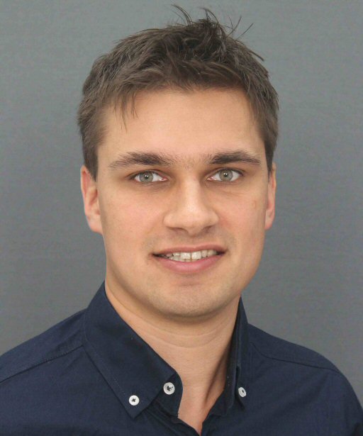 Martin R. Oswald合作论文数The University of Virginia5
 Viktor Larsson合作论文数Centre for Mathematical Sciences, Lund University3
 Andrea (Andy) Cohen合作论文数Meta3
 Danda Paudel合作论文数Institute for Computer Science, Artificial Intelligence and Technology, Sofia University2
 Mihai Dusmanu合作论文数Microsoft Mixed Reality and Artificial Intelligence Lab2
 Luc Van Gool合作论文数Computer Vision Lab, Department of Information Technology and Electrical Engineering, ETH Zurich;Institute for Computer Science, Artificial Intelligence and Technology2
 Jan-Michael Frahm合作论文数Department of Computer Science, College of Arts and Sciences, University of North Carolina at Chapel Hill;Facebook;Reality Labs, Meta2
 Christoph Vogel合作论文数Photogrammetry & Remote Sensing, ETH Zurich;c;Photogrammetry & Remote Sensing, ETH Zurich2
 Torsten Sattler合作论文数Czech Institute of Informatics, Robotics and Cybernetics, Czech Technical University2
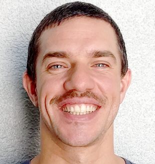 Silvano Galliani合作论文数Microsoft2
 Sudipta N. Sinha合作论文数Microsoft2
 Marcel Geppert合作论文数Magic Leap2
 Kahn Kolev合作论文数1Arda Düzçeker合作论文数1Srivathsan Murali合作论文数Swiss Fed Inst Technol, Dept Comp Sci, Comp Vis & Geometry Grp, Inst Visual Comp, Zurich, Switzerland1Shuoran Yang合作论文数Microsoft1
 Till Kroeger合作论文数1
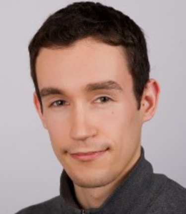 Thomas Schöps合作论文数ScannedReality GmbH1
 Lukas Gruber合作论文数Microsoft1
 Fangjinhua Wang合作论文数Meta;CVG, ETH Zurich1
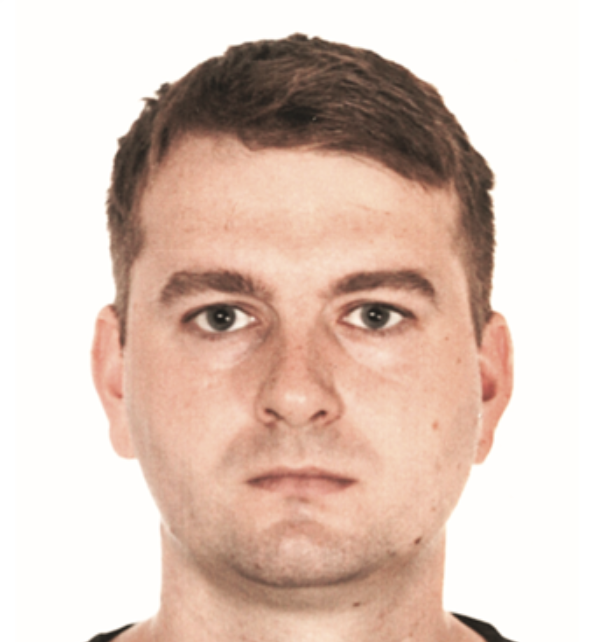 Ondrej Miksik合作论文数Microsoft1
 Hayko Riemenschneider合作论文数eth zurich1
 Petri Tanskanen合作论文数Astrivis1
 Paul Edouard Sarlin合作论文数Department of Computer Science, Swiss Federal Institute of Technology in Zurich1
 Sing Bing Kang合作论文数Zillow1




