This paper describes a probabilistic surface matching method for pose-based bathymetry SLAM using a multibeam sonar profiler. The proposed algorithm compounds swath profiles of the seafloor with dead reckoning localization to build surface patches. Then, a probabilistic implementation of the ICP is used to deal with the uncertainty of the robot pose as well as the measured points in a two-stage process including point-to-point and point-to-plane metrics. A novel surface adaptation using octrees is proposed to have ICP-derived methods working in feature-poor or highly unstructured areas typical of bathymetric scenarios. Moreover, a heuristic based on the uncertainties of the surface points is used to improve the basic algorithm, decreasing the ICP complexity to O(n). The performance of the method is demonstrated with real data from a bathymetric survey.
During the last decades, a number of studies in mobile robotics have developed techniques to address the localization problem with very promising results. In particular, the SLAM techniques have been broadly and successfully applied to indoor and outdoor environments. As electromagnetic signals suffer from strong attenuation underwater, the use of ultra-high-resolution devices, like vision or laser scanners, is impractical for long-range sensing. For this reason, in this chapter we focused on the underwater sonar-based SLAM techniques that utilize sonar as main measurement sensor, since they can perceive inside the water further than vision. We surveyed the recent advances of the underwater sonar-based SLAM by reviewing the state of the art, before proposing a method based on scan matching. A comparison between the most relevant scan-matching algorithms in 2D revealed that the probabilistic scan-matching algorithm pIC seems to work better with sonar data. According to this, we proposed a sonar-based SLAM algorithm that first corrects the motion-induced distortions in the scans and then uses the pIC for registering adjacent scans to estimate the displacements of the vehicle, as well as loop closures. Finally, an augmented state EKF estimates and keeps the registered scans poses. No a priori structural information or initial poses are considered. The algorithm has been tested with a real-world dataset showing the viability of the proposed approach.
Student Autonomous Underwater Challenge Europe (SAUC-E) [1] is a Europe-wide competition for students to foster the research and development in underwater technology. In 2010, the competition was organised by NURC, a NATO Research Centre located in La Spezia, Italy and so it is in the present year. The competition is held in a sheltered harbour with salt water and limited visibility, a significant change from previous editions, adding the difficulty of performing in a realistic marine environment. Having participated in the 2006 and 2010 editions, in January 2011, a team of students from the University of Girona (Spain) decided to face again the SAUC-E challenge. As an important difference compared to the other two past entries, this time we are facing SAUC-E with an already functional vehicle, SparusAUV. However, key hardware modifications have been applied to the vehicle and its software architecture have been redesigned according to acquired experience and implemented from scratch with the aim to take the SAUC-E challenge. Therefore, the VICOROB-UdG Team has been intensively working to make SparusAUV able to specifically face every task of the competition. This paper describes the SparusAUV as an entry to the 2011 SAUC-E competition. The paper is organized as follows. The mechanical, hardware and software design are explained in sections II to IV. Section V describes all the software components specifically designed for the SAUC-E’11 mission, including the navigation and localisation systems as well as all the adopted solutions for every mission task. Section VI underlines the hardware and software innovations. Finally, sections VII and VIII present the financial summary and the risk assessment respectively before concluding the paper in section IX.
This paper reports a navigation and mapping data-set collected in the Croatian Kornati Archipelago during the "Breaking the Surface 2010" International Interdisciplinary Field Training of Marine Robotics and Applications event. A sensor ridge including a navigation and mapping sensor suite, to be later installed in the GIRONA500 AUV being developed a the university of Girona, was attached to a motor boat to collect geo-referenced data. The sensor suite includes a Multibeam sonar profiler, an AHRS, a DGPS, a sound-speed profiler including a depth cell, a video camera and a mechanical scanning sonar profiler. The paper reports the experiment performed as well as the navigation and mapping results using: 1) GPS only (used as a ground truth), 2) Dead Reckoning only, and 3) a preliminary method fusing dead reckoning with surface registration based on a simple modification of the well known ICP algorithm. Preliminary, but promising, results show that a better performance may be achieved using the last method.
In robotics, a key problem is for a robot to explore its environment and use the information gathered by its sensors to jointly produce a map of its environment, together with an estimate of its position: so-called SLAM (Simultaneous Localization and Mapping) [12]. Various filtering methods – Particle Filtering, and derived Kalman Filter methods (Extended, Unscented) – have been applied successfully to SLAM. We present a new algorithm that adapts the Square Root Unscented Transformation [13], previously only applied to feature based maps [5], to grid mapping. We also present a new method for the so-called pose-correction step in the algorithm. Experimental results show improved computational performance on more complex grid maps compared to an existing grid based particle filtering algorithm.
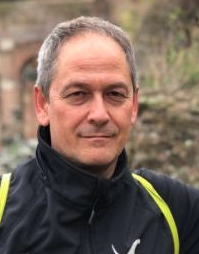 Pedro Ridao Rodriguez合作论文数Department Arquitectura i Tecnologia de Computadors, Universitat de Girona;Computer Vision and Robotics Research Institute, University of Girona3
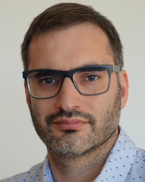 David Ribas合作论文数3
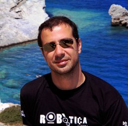 Angelos Mallios合作论文数Department of Computer Engineering, University of Girona2
 Carles Candela合作论文数University of Girona1
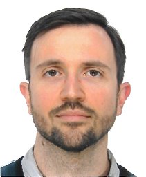 Arnau Carrera合作论文数1
 Enric Galceran合作论文数university of michigan1
 Ann Nicholson合作论文数Faculty of Information Technology, Monash University1
 Albert Palomer合作论文数Menarini Research1
 Ricard Campos合作论文数University of Girona1
 Marc Carreras合作论文数Computer Engineering Department, University of Girona1
 Chee Sing Lee合作论文数ECE Dept, Natl Univ Singapore1




