Europe's Sentinel-1A spacecraft and its extraordinary images of slip from the South Napa earthquake herald a new era of space-based surveillance of faults.
Characteristics: • Virtual globe based on a 30-sided polyhedron = no polar distortion. • Renders arbitrarily large (e.g., whole earth) sub-meter resolution DEM and image data. • Independent of performance of computer’s graphics subsystem. Characteristics: • Four-sided (3 walls & floor), 800 ft MechDyne CAVE. • Stereoscopic images projected on all 4 surfaces. • Wireless Intersense IS-900 tracking system synchronizes display to user’s view and tracks input device (six-button handheld wand). • User perceives seamless 3D environment. Characteristics: • Enables real-time visual analysis of multi-billion-point lidar point clouds. • No sub-sampling or reduction in data resolution. • Uses octree data structure to enable multi-scale data representation and efficient, localized point data retrieval. For remote mapping on lidar DEMs (Bernardin et al., 2010) Generates a 3D virtual scale model that users interactively manipulate. For analysis of lidar point clouds (Kreylos et al., 2008) Functions: • Interactive illumination of the point cloud using multiple light sources from arbitrary directions (e.g., hillshaded clouds). • Interactive point selection and extraction. • Quantitative point cloud comparison (e.g., full vs. bare-earth). • Fitting geometric primitives (line, plane, sphere, cylinder) to selected points. • Visualization of point distances from a plane. • Extraction of profile curves. Functions: • Map directly on the virtual landscape using standard geologic annotation and standard GIS formats (shapefiles, kml, etc.). • Hardware-accelerated manipulation of the texture color palette. • Interactively adjust illumination and vertical exaggeration.
Analysis of historic slip distributions from large‐magnitude continental strike‐slip earthquake ruptures reveals a pronounced correlation between the distance over which slip decreases as a rupture approaches a structural “step” in the fault and the ability of the rupture to propagate through the step. Our analysis of coseismic slip gradients near these stepovers indicates that in earthquakes in which slip decreases gradually toward a step, rupture will not continue on the next segment. Conversely, in earthquakes in which slip decreases abruptly, rupture commonly renucleates on the next segment. The fact that ruptures that stopped had low slip gradients near stepovers, relative to those that continued, indicates that rupture dynamics control the propagation of rupture through stepovers. These results corroborate dynamic rupture models that show that ruptures in which slip decreases abruptly at a step generate strong seismic waves that serve to renucleate rupture on the opposite side of the structural step. There are several potential causes for gradual decrease of displacement as rupture approaches a stepover, including transference of deformation onto subsidiary structures, rheological contrasts that could dictate favored rupture propagation directions, the existence of stress shadows from previous earthquakes within the system, or other material or frictional heterogeneities. All of these are potentially observable, and, if mapped systematically, could provide the basis for a strong constraint on the likely end points of future earthquakes. Inasmuch as earthquake magnitude is strongly dependent on the size of the rupture, such predictions would be of great utility as a basic component of scenario‐based earthquake rupture forecasts.
 Michael Oskin合作论文数Department of Geological Sciences, University of North Carolina at Chapel Hill13
 Oliver Kreylos合作论文数Institute for Data Analysis and Visualization (IDAV)7Eric Cowgill合作论文数7
 Peter O. Gold合作论文数UC Davis, University of California6
 Tony Bernardin合作论文数6
 Louise Kellogg合作论文数Department of Earth and Planetary Sciences, College of Letters and Science, University of California Davis5A. J. Herrs合作论文数3
 Charles Cashman Trexler合作论文数Corresponding author.3
 Ryan D. Gold合作论文数University of California, Davis3c j bowles合作论文数2Judith Zachariasen合作论文数2Gordon Seitz合作论文数2Timothy Dawson合作论文数2Camille Collett合作论文数2Alexandra J. Pickering合作论文数United States Geological Survey2
 Alexandra E. Hatem合作论文数Geol Hazards Sci Ctr Golden, US Geol Survey2jun s liu合作论文数2Ian K.D. Pierce合作论文数2
 Bernd Hamann合作论文数Stratovan Corporation;Department of Computer Science, University of California, Davis2
 Benchun Duan合作论文数Department of Earth Sciences;University of California;Department of Earth Sciences, University of California , Riverside2
 David Oglesby合作论文数Department of Earth and Planetary Sciences, University of California , Riverside2
 Michael H. Taylor合作论文数Mercy San Juan Hospital2Plamen Ganev合作论文数2
 Ramon Arrowsmith合作论文数School of Earth and Space Exploration, Arizona State University2
 Alejandro Hinojosa-Corona合作论文数Departamento de Geología;Centro de Investigación Científica2
 M. Burak Yikilmaz合作论文数Siemens Energy2A. E. Morelan合作论文数1J. F. Dolan合作论文数1k n le合作论文数1Richard D. Koehler合作论文数1Seth Dee合作论文数1Christopher Madugo合作论文数1Conni De Masi合作论文数Nevada Bur Mines & Geol, Univ Nevada1
 Elizabeth K. Haddon合作论文数US Geol Survey, Geol Minerals Energy & Geophys Sci Ctr1
 Alexander E. Morelan合作论文数Department of Conservation, California1
 Chris Milliner合作论文数Seismol Lab, CALTECH1scott bishop合作论文数1bing duan合作论文数1
 Xiwei Xu (徐锡伟)合作论文数National Institute of Natural Hazards, Ministry of Emergency Management;Institute of Geology, China Earthquake Administration;School of Earth Sciences and Resources, China University of Geosciences, Beijing1
 Steven G. Wesnousky合作论文数Department of Geological Sciences and Engineering, College of Science - The Mackay School of Earth Sciences and Engineering, University of Nevada, Reno1
 Andy Hooper合作论文数School of Earth and Environment, Faculty of Environment, University of Leeds;SatSense1
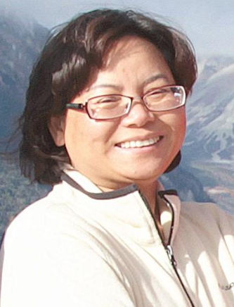 Jing Liu-Zeng (刘静)合作论文数School of Earth System Science, Tianjin University1
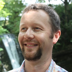 Tim Wright合作论文数School of Earth and Environment, University of Leeds1Craig M. Depolo合作论文数1
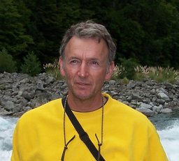 Charles Wicks合作论文数U.S. Geological Survey1
 Christopher J. Crosby合作论文数Department of Geological Sciences, Arizona State University1
 John Elliott合作论文数Active Tectonics & Earthquake Hazard Institute of Geophysics & Tectonics, School of Earth and Environment, University of Leeds1
 Kimberly Blisniuk合作论文数Department of Geological Sciences, University of California, Davis1
 Petar Marinkovic合作论文数1




