This paper develops an automated shallow water bathymetry procedure based on two-medium photogrammetry using high resolution satellite multispectral imagery.In this method,near-infrared band were used for sunglint elimination and rational function model (RFM)was applied for raw DEMgeneration. By extracting the water-land edge and interpolating edge elevation,water surface position could be determined.An approximation refraction correction model,in which all homonymy lights were regarded as intersect to the same observed point,was adopted to correct the vertical offsets.Experimental results indicate that DEM accuracy of satellite two-medium photogrammetry is better than 20% of the average depth under the circumstance of relatively calm water and rich bottom texture.
The biggest advantage of ADS40 is to enable the direct and integrated sensor orientation,however the accuracy is normally unable to reach the requirements of the large scale surveying and mapping.The accuracy of direct and integrated sensor orientation is mainly affected by various systematic errors,including the error caused by interior orientation,by naturalization calculation parameters from POS data to exterior orientation elements,and by local coordinate system.In the paper,the main systematic errors were introduced,and the project of compensating the different systematic errors was proposed,then a comparison between data accuracy index derived from aerial triangulation was carried out.Through the result,the influence of the systematic errors on the data accuracy was clearly shown,and the necessity of the systematic error compensation was well indicated.
针对海洋测绘这个非计算机专业,程序设计教学内容所占比重较大,但是存在着程序设计语言、开发工具不一致,教学课时相对较少、学生恐惧编程等问题,经过认真调研分析,提出相应对策,提高教学质量。
三线阵机载传感器ADS40为瑞士Leica公司于2000年推出的世界上首款商用三线阵航测数码相机.机载三线阵航测数码相机ADS40独特的硬件设计方式和数据处理方式对传统检校理论方法带来了挑战.基于对ADS40相机文件系统误差的分析,该文给出了一种基于验后补偿法的ADS40几何检校方法.采用一组低阶的二元多项式来拟合每个CCD线阵的相机文件系统误差,推导了解算方法,并通过验证实验证明该文给出的算法稳健可靠.
In order to gain a new image with high spatial resolution and abundant spectrum by fusing panchromatic and multispectral images, a novel fusion algorithm based on the generation Bandelet is presented, and the fusion rule of Bandelet coefficients reposes on maximum absolute value of frequence. Fusion experiments based on new method, IHS and wavelet transform are carried out with panchromatic and multispectral images of Landsat-7. The experimental results show that fused image of new method is more excellent. Image edges are more distinct, and prove that Bandelet transform has the character of tracking image edges adaptively.
ADS40 is the first commercial three line scanner(TLS) Airborne Digital Sensor developed by LH Systems jointly with DLR and launched in 2000.The unique hardware design and dataset processing workflow of ADS40 bring challenges to traditional calibration theory and methods. Considering the imagery acquirement and interior orientation methods of ADS40, the ADS40 test field calibration using posteriori compensation method is proposed: An analysis is made to the systematic error of ADS40’s cam file. A set of first order bivariate polynomial functions is developed to fit the systematic error, and the solution method is deduced. With the practical ADS40 dataset, a set of experiments is done, and the experimental results demonstrate the effectiveness and feasibility of proposed method.
The particular sensor geometry of the airborne Three-Line-Scanner ADS40 brings particular process.Sensor calibration is important process of photogrammetry.Recently,people tended to research on estimating the performance of the calibration file and analyzing the influence of self-calibration.In contrast,the goal of this paper was to generate a sufficient calibration file based on test field calibration.The paper describes the mathematical model of GPS/IMU supported aerial triangulation of ADS40,designs a set of calibration process,and gives results using the data of the test site.Experimental results show that the calibration of the ADS40 is effective to improve data accuracy and reliability.
ADS40 is POS supported airborne three-line-scanner.The paper introduces the unique POS supported sensor geometric relation of ADS40,and self calibration with additional parameters based on BROWN model.According to ADS40,a set of calibration programs is designed,considering: how to determine the necessity of geometric calibration,how to carry out geometric calibration,and how to verify the validity of the result of the geometric calibration.Experimental results show that the self-calibration of the ADS40 is effective to improve data accuracy and reliability.
After a certain time, a calibration of ADS40 is essential, including determination of the coordinate assigned to each pixel in focal plate and IMU misalignment, so-named calibration file. There are two ways of calibration: laboratory calibration and test field calibration. The test field calibration leads to greater precision than the other one, because it is performed under realistic working conditions. In recent years, many papers focused on estimating the performance of the calibration file and the influence of self-calibration. Nevertheless, the goal of this paper was to generate a sufficient calibration file based on test field calibration. In this paper, mathematic models involved with calibration were introduced, and a calibration workflow was developed, consisting of estimation, calibration and verification. All the experiment data was provided by Wuhan University, including calibration blocks acquired over Songshan Testsite in August 2009, while the certification of calibration file of ADS40 was provided in February 01,2007, and the coordinates of all the ground control points (GCPs) with an accuracy of 1cm. Based on the original calibration file, aerial triangulation was performed. Self-calibration improved accuracy of data processing obviously, which indicated the necessity of calibration. Then a new calibration file was generated, which was different from the original one. With two sets of data in different flight height, a comparison of performance between the original calibration file and the new one was made, which proved the latter one to be sufficient and reliable.
Based on the ORIMA programs produced by Leica,by using the Henan Song mountain calibration test field built by Wuhan University,the attainable geometric accuracy of the three-line-sensor ADS40 imagery was evaluated.In this experiment,three main scenarios were considered in detail,namely different control strips,different control points configurations and different bundle adjustment models.And its results prove that,in basic camera model the number of control points and control strips have limited effect on data accuracy of ADS40,while in self-calibration model,it can significantly improve its geometric data accuracy.
Based on the construction characteristic of ancient timberwork buildings, this article studies the computer-reappearance technique. It discusses technology of 3D computer model establishment of timber component and assembly technology, and studies relative technologies to realize the reappearance by animation with 3DS and does engineering experiments. The results show that the experimental methods are much useful providing a new way for protecting and studying the Chinese ancient buildings craftwork.
ADS40 from Leica Geosystems is new-type airborne digital camera, which has aggregated worldwide focus in application fields of aerial photogrammetry and remote sensing nowadays, with its noticeable superiority in interpreting and mapping the comprehensive conditions of ground surface. At the same time, its special characteristics make the data processing some complicated. Based on the long-team research and the experiment on usage of ADS40, the paper presented the workflow in details including data capture, processing and application of ADS40, described some problem and exercise in practice.
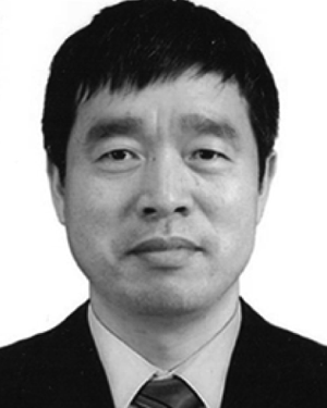 Miaozhong Xu合作论文数Wuhan Univ, State Key Lab Informat Engn Surveying Mapping & R, Wuhan 430079, Peoples R China7
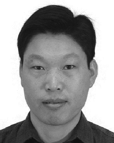 Shulong Zhu合作论文数2
 Fang CAO (曹芳)合作论文数2
 BinCai Cao (曹彬才)合作论文数2Weidong Zhu (朱伟东)合作论文数Institute of Advanced Fluorine-Containng Materials, Zhejiang Normal University;College of Chemistry and Life Sciences, Zhejiang Normal University2
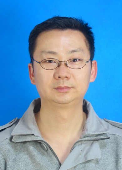 Wei Shen (沈伟)合作论文数College of Engineering Science and Technology, Shanghai Ocean University2
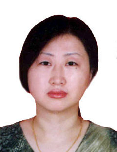 Li Liu (刘丽)合作论文数School of Resource and Environmental Sciences, Wuhan University2hongda fu (付宏达)合作论文数1Ruifang ZHU (朱瑞芳)合作论文数1Jin Zhang (张进)合作论文数1Lixin Guo (郭立新)合作论文数College of Marine Sciences, Shanghai Ocean University1
 Liang Chang (常亮)合作论文数College of Marine Sciences, Shanghai Ocean University1
 Zhenge Qiu (邱振戈)合作论文数College of Marine Sciences, Shanghai Ocean University1
 Bin Cao合作论文数Department of Chemistry, Michigan Technological University1Honglian Luo (罗红联)合作论文数1




