As the inaugural volume in the Baylor-Mohr Siebeck Studies in Early Christianity series, Jens Schröters From Jesus to the New Testament is now available for the first time in English. Schröter provides a rich narrative to Christian history by looking back upon the theological forces that created the New Testament canon.
Space geodetic estimates of ocean bottom pressure (OBP) derived by several analysis centres are evaluated. To this end, an array of 14 in situ bottom pressure recorders has been deployed between South Africa and Antarctica. The continuous measurement period of four years (2011 to 2014) and a recorder spacing of roughly 2.8 degrees latitude allows an in-depth analysis of bottom pressure variability. Our goal is to relate OBP from GRACE to in situ observations and detect which spatial and temporal features are reproduced. The recorders in the southern part of the transect generally tend to be in better agreement with GRACE and better reflect longer spatial scales of ocean bottom pressure. Over the vast expanse of the Antarctic Circumpolar Current annual and semi-annual cycles are weak (about 1cm equivalent water height (EWH)) and not reproduced well by GRACE. Variability in general amounts to a standard deviation of 2cm. This level is well captured and correlations on the order of 0.5 are found. Mean values and trends of OBP cannot be identified due to the instrumental setup. Close to the Agulhas Retroflection, signals of up to 30cm EWH are found, which cannot be resolved by GRACE. Our analysis reveals: GRACE OBP possesses longer space and time scales than in situ OBP and it misses eddy-scale signals. Filtering with DDK4 appears to be preferable to DDK6.
Sea level change is an important indicator of global warming. In order to predict future sea level changes, it becomes more and more important to understand the complex contribution of different components (steric changes, melting of ice sheets and glaciers, hydrology,…) to the total sea level change on global and regional scales. To distinguish between steric and mass-related sea level changes, we consider (1) satellite altimetry, which measures total sea level change, and (2) Gravity Recovery and Climate Experiment (GRACE) and GRACE Follow-On (GRACE-FO) data to derive mass changes within the Earth system. The information of both methods can be combined in a joint inversion approach to derive the individual components of sea level change. However, there is a gap of 11 months between GRACE and GRACE-FO and there are numerous (bi-)monthly gaps since 2011, which means that there is no dedicated gravity field mission to derive ocean mass changes during these times. In this contribution, we use time-variable gravity field data from the Swarm satellite mission and Satellite Laser Ranging (SLR) as an additional source of information on mass changes within the inversion approach. Thus, we are able to derive inversion results even in times without GRACE(-FO), albeit at the expense of an inevitably lower spatial resolution. We compare results with GRACE(-FO) data to those without GRACE(-FO) data. Furthermore, we quantify the leverage of Swarm and SLR on the low-resolution mass signal at basin scale in the combined inversion approach during the GRACE(-FO) lifetime.
Improved estimates of temperature, salinity, and sea surface height changes are computed from radar altimetry, satellite gravimetry and Argo profiles, and validated by the in situ ocean bottom pressure measurements in a South Atlantic transect of the Antarctic Circumpolar current. Using satellite gravimetry and altimetry observations, separate contributions to the global sea level can be estimated, but a regional solution is more challenging. Furthermore, Argo derived steric sea level change suffers from spatio-temporal sampling problems, and some signals are not well captured, e.g. in the deeper ocean below 2000m, around the boundary currents, in the Arctic or in the shelf/coastal regions. Jointly processing radar altimetry, Argo and data from the Gravity Recovery and Climate Experiment (GRACE), would allow to correct the deficiencies of the individual datasets, and produce observation based estimates of consistent temperature, salinity and sea surface height changes. In order to pave the way for an advanced joint inversion scheme that additionally resolves for temperature and salinity, the observation equations are formulated which link the satellite observations to temperature and salinity at depth. Observations in the South Atlantic region are compared with simulations from the FESOM model in terms of variability and the model data is used to find the spatial coherence of the signals at the sites with the surrounding ocean. The experiment is performed in the Southern Atlantic Ocean, where the estimates can be validated using an array of in situ ocean bottom pressure observations.
The Galilee deserves to be examined and interpreteda so ne particular region of the vastly diverse eastern Mediterranean which saw manyvariants of blendingindigenous cultureswith Hellenism.In fact, it is exactly this dynamic and often extremely fragile symbiosis of "indigenous" and "foreign" culturesthat makes the Galilee so crucial for scholars studying ancientJudaism and early Christianity.The Galileehas also becomeamajor issueinhistorical Jesus research.The "third quest of the historical Jesus" has emphasized that Jesus'sactivity and teaching must be studied against theb ackgroundo ff irst-century Galilee, that is, the GalileeofAntipas'sreign. Thus,the Galilee is an exciting area of crossoverstudies for historians, archaeologists and biblical scholars.Places like Hippos, Sepphoris, MagdalaorYodefat have becomemajor sites of interest,shedding lightonthe GalileeinHellenisticand Romantimes, the Hasmonean period, and the formationofthe early Jesus movement and Rabbinic Judaism.Againstt hisb ackground, the current issue of Early Christianity is devotedtothe ongoing research on theGalileeinhistorical and archaeological perspectives.In the opening article, Jürgen Zangenberg,Professor for the Historyand Cultureo fA ncient Judaism and Early Christianity at Leiden University and co-director of the Kinneret Regional Project at Horvat Kur, develops a new, more "Mediterranean" perspective on ancient Galilee.Whereas in previous researcht he Jewishc haractero ft he Galileei nt he Hellenistic-Roman period (especiallys incet he first centuryB CE)h as rightlyb een emphasized, Zangenberg points out thatt he Galilee was not a "Jewish island" surrounded by non-Jewish regions.Instead, despite its Jewish character, the Galilee wasa"transitory area," connecting the coastal area withthe regionsinthe east (especially the Decapolisand Syria).The article concentrates on the ancients iteso fP hiloteria, et-Tell andM agdala to demonstrate the economicactivities in the Galilee and its connection with
General ocean circulation models are not perfect. Forced with observed atmospheric fluxes they gradually drift away from measured distributions of temperature and salinity. We suggest data assimilation of absolute dynamical ocean topography (DOT) observed from space geodetic missions as an option to reduce these differences. Sea surface information of DOT is transferred into the deep ocean by defining the analysed ocean state as a weighted average of an ensemble of fully consistent model solutions using an error-subspace ensemble Kalman filter technique. Success of the technique is demonstrated by assimilation into a global configuration of the ocean circulation model FESOM over 1 year. The dynamic ocean topography data are obtained from a combination of multi-satellite altimetry and geoid measurements. The assimilation result is assessed using independent temperature and salinity analysis derived from profiling buoys of the AGRO float data set. The largest impact of the assimilation occurs at the first few analysis steps where both the model ocean topography and the steric height (i.e. temperature and salinity) are improved. The continued data assimilation over 1 year further improves the model state gradually. Deep ocean fields quickly adjust in a sustained manner: A model forecast initialized from the model state estimated by the data assimilation after only 1 month shows that improvements induced by the data assimilation remain in the model state for a long time. Even after 11 months, the modelled ocean topography and temperature fields show smaller errors than the model forecast without any data assimilation.
SignificanceUnderstanding sea-level change is of paramount importance because it reflects climate-related factors, such as the ocean heat budget, mass changes in the cryosphere, and natural ocean/atmosphere variations. Furthermore, sea-level rise directly affects coastal areas, which has ramifications for its population and economy. From a novel combination of Gravity Recovery And Climate Experiment and radar altimetry data we find over the last 12 y: (i) a larger global steric sea-level rise as previously reported, (ii) a mass contribution to global sea level consistent with mass loss estimates from the world’s ice sheets, glaciers, and hydrological sources, and (iii) regionally resolved sea-level budget components which differ significantly from that of the global sea-level budget.
A new climate model has been developed that employs a multi-resolution dynamical core for the sea ice-ocean component. In principle, the multi-resolution approach allows one to use enhanced horizontal resolution in dynamically active regions while keeping a coarse-resolution setup otherwise. The coupled model consists of the atmospheric model ECHAM6 and the finite element sea ice-ocean model (FESOM). In this study only moderate refinement of the unstructured ocean grid is applied and the resolution varies from about 25 km in the northern North Atlantic and in the tropics to about 150 km in parts of the open ocean; the results serve as a benchmark upon which future versions that exploit the potential of variable resolution can be built. Details of the formulation of the model are given and its performance in simulating observed aspects of the mean climate is described. Overall, it is found that ECHAM6–FESOM realistically simulates many aspects of the observed climate. More specifically it is found that ECHAM6–FESOM performs at least as well as some of the most sophisticated climate models participating in the fifth phase of the Coupled Model Intercomparison Project. ECHAM6–FESOM shares substantial shortcomings with other climate models when it comes to simulating the North Atlantic circulation.
A review is given of existing efforts and future challenges in large-scale ocean modeling on unstructured meshes. Because of large integration time the large-scale ocean circulation models require more attention with respect to conservation and accuracy than their coastal counterparts, and deal with different dynamics. Numerous discretizations of finite-element and finite-volume type have been proposed and explored, but only simplest approaches (like P1-P1 of FESOM or cell-vertex of FVCOM) are realized as working tools. While the results of first applications performed in global context are very encouraging and show the feasibility of local refinement by a factor of 30-50 in a global setup, they also indicate that further efforts are needed if one aims at simulating the ocean in eddying regimes. These efforts must concentrate on numerical efficiency of unstructured-mesh codes and ensure much higher accuracy of advection schemes than currently available on linear elements. Since the selection of discretization introduces obvious limitations on unstructured meshes, one has to re-consider it from the perspective that takes into account the already available lessons, and not only the representation of linear wave dynamics in the shallow-water context. In particular, too large velocity spaces of many mixed discretizations as a rule lead to difficulties in the performance of momentum advection in eddying regimes, and continuous representation of scalar quantities creates many inconveniences in hydrostatic codes. While the need for improved advection schemes tells on its own in favor of either discontinuous Galerkin methods or high-order reconstructions with finite volumes, the key question is how to implement them without significant loss of efficiency. The area of large-scale ocean simulations is almost fully dominated by structured-mesh models which are currently much more accurate and efficient per degree of freedom than models on unstructured meshes. The acceptance of unstructured-mesh technology on this `large-scale background' depends on our progress with this question as well as ability to show on practical examples that refinement is more practical and consistent than nesting.
 Sergey Danilov合作论文数Klimadynamik, Alfred-Wegener-Institut Helmholtz-Zentrum für Polar- und Meeresforschung152
 Dmitry Sidorenko合作论文数Alfred Wegener Institute for Polar and Marine Research51
 Roelof Rietbroek合作论文数Institute for Geodesy and Geo-information, University of Bonn50
 Qiang Wang合作论文数Alfred Wegener Institute for Polar and Marine Research49
 Lars Nerger合作论文数Institute for Polar and Marine Research47
 Jürgen Kusche合作论文数Institute of Geodesy and Geoinformation, University of Bonn45
 Sandraesther Brunnabend合作论文数40Manfred Wenzel合作论文数38Gennady A. Kivman合作论文数38
 Sven Harig合作论文数Alfred Wegener Inst Polar & Marine Res36
 Tijana Janjic合作论文数Wegener Institute, Alfred36
 Ralph Timmermann合作论文数33wolfgang hiller合作论文数32
 Thomas S. Jung合作论文数European Centre for Medium-Range Weather Forecasts30
 Alexey Androsov合作论文数Alfred Wegener Institute for Polar and Marine Research29frank flechtner合作论文数Phys Geodesy, Tech Univ Berlin23
 Olaf Boebel合作论文数Alfred-Wegener-Institute for Polar and Marine Research19Svetlana Loza合作论文数19carmen boning合作论文数16frank janssen合作论文数16Jörn Behrens合作论文数Afred-Wegener-Institut für Polar- und Meeresforschung16
 Martin Losch合作论文数Department of Earth;Planetary Sciences;Massachusetts Institute of Technology;Department of Earth, Massachusetts Institute of Technology16
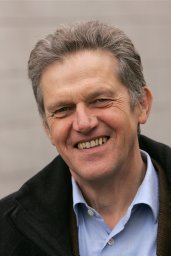 Reiner Rummel合作论文数Institut für Astronomische und Physikalische Geodäsie, TU München15
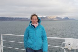 Claudia Wekerle合作论文数Alfred Wegener Inst, Helmholtz Ctr Polar & Marine Res14R Savcenko合作论文数14d sidorenko合作论文数13
 Alberta Albertella合作论文数Dipartimento di Ingegneria Civile e Ambientale, Politecnico di Milano13
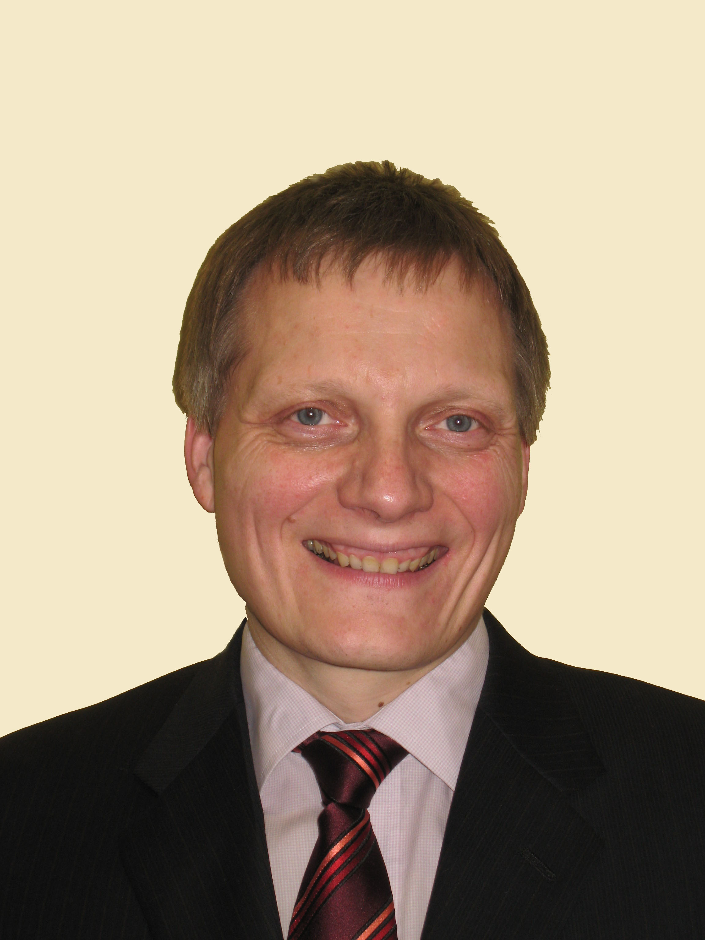 Wolfgang Bösch合作论文数Institute of Microwave and Photonic Engineering, Faculty of Electrical and Information Engineering, Graz University of Technology11Silvia Maßmann合作论文数10annecke macrander合作论文数10
 Carmen Boening合作论文数10M. Fritsche合作论文数9Christina Lück合作论文数8Vladimir Ivchenko合作论文数8
 Dmitry Sein合作论文数Department of Paleoclimate Dynamics, Alfred Wegener Institute for Polar and Marine Research;Institute of Oceanology. PP Shirshov Russian Academy of Sciences8M. Wenzel合作论文数8m gebler合作论文数7ch dahle合作论文数7
 Xuezhu Wang (王雪竹)合作论文数College of Oceanography, Hohai University7
 Bernadette Sloyan合作论文数CSIRO7Christoph Dahle合作论文数7c wekerle合作论文数6
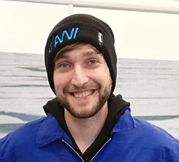 Thomas Rackow合作论文数Alfred Wegener Inst, Helmholtz Ctr Polar & Marine Res6
 Markus Rothacher合作论文数Eidgenössische Technische Hochschule Zürich6R. Dietrich合作论文数6
 Widodo S. Pranowo合作论文数Alfred Wegener Institute for Polar and Marine Research (AWI) Bremerhaven Germany6
 Andrey Y. Babeyko合作论文数6
 Jan Saynisch-Wagner合作论文数6Natalja Rakowsky合作论文数6




