High-fidelity sensor simulation of light-based sen- sors such as cameras and LiDARs is critical for safe and accurate autonomy testing. Neural radiance field (NeRF)-based methods that reconstruct sensor observations via ray-casting of implicit representations have demonstrated accurate simulation of driving scenes, but are slow to train and render, hampering scalability. 3D Gaussian Splatting (3DGS) has demonstrated faster training and rendering times through rasterization, but is primarily restricted to pinhole camera sensors, preventing usage for realistic multi-sensor autonomy evaluation. Moreover, both NeRF and 3DGS couple the representation with the rendering procedure (implicit networks for ray-based evaluation, particles for rasterization), preventing interoperability, which is key for general usage. In this work, we present Sparse Local Fields (SaLF), a novel volumetric representation that supports rasterization and raytracing. SaLF represents volumes as a sparse set of 3D voxel primitives, where each voxel is a local implicit field. SaLF has fast training (<30 min) and rendering capabilities (50+ FPS for camera and 600+ FPS for LiDAR), has adaptive pruning and densification to easily handle large scenes, and can support non-pinhole cameras and spinning LiDARs. We demonstrate that SaLF delivers realism comparable to existing self-driving sensor simulation methods while improving efficiency and enhancing capabilities, thereby enabling more scalable simulation.
Urban scene reconstruction from real-world observations has emerged as a powerful tool for self-driving development and testing. While current neural rendering approaches achieve high-fidelity rendering along the recorded trajectories, their quality degrades significantly under large viewpoint shifts, limiting the applicability for closed-loop simulation. Recent works have shown promising results in using diffusion models to enhance quality at these challenging viewpoints and distill improvements back into 3D representations. However, they often require costly per-scene optimization, and the distilled representations remain fragile and fail to generalize beyond limited synthesized views. To address these limitations, we propose GenRe, a novel diffusion-guided generalizable enhancer for urban scene reconstruction. GenRe takes as input any pretrained 3D Gaussian representation and fixes the deficiencies within a few minutes. By learning to distill generative priors across diverse scenes, GenRe produces robust and high-fidelity representation efficiently that generalizes reliably to challenging unseen viewpoints (e.g., lane change). Experiments show that GenRe outperforms existing methods in both quality and efficiency and benefits various downstream tasks, enabling robust and scalable sensor simulation for autonomous driving.
Due to light absorption and scattering, underwater images often suffer from low contrast, blurry details, and color deviation. Various enhancement methods have been developed, but many fail to improve image quality effectively and sometimes create unnatural effects. To tackle such a problem, we propose a novel method, namely the Cascaded Adaptive Network (i.e., CA-Net), to comprehensively enhance the quality of underwater images. Specifically, our network adopts a cascaded enhancement architecture consisting of three stages (coarse feature restoration, feature aggregation, and color refinement). First, we use a detail restoration (DR) module and channel balance module to recover spatial details and correct color distortion, respectively, in the first stage. Particularly, the detail guidance unit of DR employs encoder features to steer the decoder features to focus more on the spatial details of objects. Second, to promote the fusion of fine details and color features, we deploy a context attention (CA) module and an adaptive feature fusion (AFF) module in the stage of feature aggregation. CA extracts detailed restoration features and long-range dependencies in images, guiding the fusion process in the subsequent AFF. Lastly, to guarantee natural colors, we use a global color rendering module in the stage of color refinement, which adaptively groups and tunes the image channels. Experiments on public data sets show that CA-Net significantly outperforms existing methods, making it highly effective for underwater image enhancement.
Reconstructing large-scale dynamic scenes from visual observations is a fundamental challenge in computer vision, with critical implications for robotics and autonomous systems. While recent differentiable rendering methods such as Neural Radiance Fields (NeRF) and 3D Gaussian Splatting (3DGS) have achieved impressive photorealistic reconstruction, they suffer from scalability limitations and require annotations to decouple actor motion. Existing self-supervised methods attempt to eliminate explicit annotations by leveraging motion cues and geometric priors, yet they remain constrained by per-scene optimization and sensitivity to hyperparameter tuning. In this paper, we introduce Flux4D, a simple and scalable framework for 4D reconstruction of large-scale dynamic scenes. Flux4D directly predicts 3D Gaussians and their motion dynamics to reconstruct sensor observations in a fully unsupervised manner. By adopting only photometric losses and enforcing an "as static as possible" regularization, Flux4D learns to decompose dynamic elements directly from raw data without requiring pre-trained supervised models or foundational priors simply by training across many scenes. Our approach enables efficient reconstruction of dynamic scenes within seconds, scales effectively to large datasets, and generalizes well to unseen environments, including rare and unknown objects. Experiments on outdoor driving datasets show Flux4D significantly outperforms existing methods in scalability, generalization, and reconstruction quality.
High-quality 3D assets for traffic participants are critical for multi-sensor simulation, which is essential for the safe end-to-end development of autonomy. Building assets from in-the-wild data is key for diversity and realism, but existing neural-rendering based reconstruction methods are slow and generate assets that render well only from viewpoints close to the original observations, limiting their usefulness in simulation. Recent diffusion-based generative models build complete and diverse assets, but perform poorly on in-the-wild driving scenes, where observed actors are captured under sparse and limited fields of view, and are partially occluded. In this work, we propose a 3D latent diffusion model that learns on in-the-wild LiDAR and camera data captured by a sensor platform and generates high-quality 3D assets with complete geometry and appearance. Key to our method is a "reconstruct-then-generate" approach that first leverages occlusion-aware neural rendering trained over multiple scenes to build a high-quality latent space for objects, and then trains a diffusion model that operates on the latent space. We show our method outperforms existing reconstruction and generation based methods, unlocking diverse and scalable content creation for simulation. Please visit https://waabi.ai/genassets for more details.
Large scale 3D scene reconstruction is important for applications such as virtual reality and simulation. Existing neural rendering approaches (e.g., NeRF, 3DGS) have achieved realistic reconstructions on large scenes, but optimize per scene, which is expensive and slow, and exhibit noticeable artifacts under large view changes due to overfitting. Generalizable approaches are fast, but primarily work for small scenes/objects and often produce lower quality rendering results. In this work, we introduce G3R, a generalizable reconstruction approach that can efficiently predict high-quality 3D scene representations for large scenes. We propose to learn a reconstruction network that takes the gradient feedback signals from differentiable rendering to iteratively update a 3D scene representation, combining the benefits of high photorealism from per-scene optimization with data-driven priors from fast feed-forward prediction methods. Experiments on large-scale urban-driving and drone datasets show that G3R accelerates the reconstruction process by at least 10x while achieving comparable or better realism compared to 3DGS, and also being more robust to large view changes.
Reconstructing objects from real world data and rendering them at novel views is critical to bringing realism, diversity and scale to simulation for robotics training and testing. In this work, we present NeuSim, a novel approach that estimates accurate geometry and realistic appearance from sparse in-the-wild data captured at distance and at limited viewpoints. Towards this goal, we represent the object surface as a neural signed distance function and leverage both LiDAR and camera sensor data to reconstruct smooth and accurate geometry and normals. We model the object appearance with a robust physics-inspired reflectance representation effective for in-the-wild data. Our experiments show that NeuSim has strong view synthesis performance on challenging scenarios with sparse training views. Furthermore, we showcase composing NeuSim assets into a virtual world and generating realistic multi-sensor data for evaluating self-driving perception models. The supplementary material can be found at the project website: https://waabi.ai/research/neusim/
Different outdoor illumination conditions drastically alter the appearance of urban scenes, and they can harm the performance of image-based robot perception systems if not seen during training. Camera simulation provides a cost-effective solution to create a large dataset of images captured under different lighting conditions. Towards this goal, we propose LightSim, a neural lighting camera simulation system that enables diverse, realistic, and controllable data generation. LightSim automatically builds lighting-aware digital twins at scale from collected raw sensor data and decomposes the scene into dynamic actors and static background with accurate geometry, appearance, and estimated scene lighting. These digital twins enable actor insertion, modification, removal, and rendering from a new viewpoint, all in a lighting-aware manner. LightSim then combines physically-based and learnable deferred rendering to perform realistic relighting of modified scenes, such as altering the sun location and modifying the shadows or changing the sun brightness, producing spatially- and temporally-consistent camera videos. Our experiments show that LightSim generates more realistic relighting results than prior work. Importantly, training perception models on data generated by LightSim can significantly improve their performance. Our project page is available at https://waabi.ai/lightsim/.
Motor imagery (MI) brain-computer interface (BCI) paradigms have been used extensively in neurological recovery. However, due to the long calibration time and non-stationary nature of electroencephalogram (EEG) signals, it is challenging to obtain a substantial sample size of EEG data. Transfer learning (TL), which leverages knowledge from existing subjects to enhance the learning performance in the new subjects, can be employed to solve this problem. Previous studies often extracted sample features directly from two domains for transfer learning, leading to poor features and negative transfer. To overcome this limitation, this study proposes an optimal transport feature selection method to select the most suitable features for migration by analyzing the diagonal value similarity of the optimal transport coupling matrix, to enhance the generalization capability of the TL. First, the Riemannian tangent space mapping method was used to map the sample covariance matrix of EEG trials from Riemannian manifold to tangent space. Secondly, the optimal subset of EEG features was selected via the optimal transport feature selection method. Subsequently, separate distribution alignment method was adopted to minimize dissimilarities between source and target domains. Finally, the weighted voting mechanisms were integrated for decision fusion. The proposed multi-source transfer feature learning (MSTFL) method was validated based on two public BCI Competition IV datasets. Our results displayed superior classification accuracy on the two public datasets, which were 85.93% and 79.47%, respectively, than other state of the art models. These findings indicate that our proposed MSTFL model is effective for both feature extraction and classification of MI signals.
Rigorously testing autonomy systems is essential for making safe self-driving vehicles (SDV) a reality. It requires one to generate safety critical scenarios beyond what can be collected safely in the world, as many scenarios happen rarely on our roads. To accurately evaluate performance, we need to test the SDV on these scenarios in closed-loop, where the SDV and other actors interact with each other at each timestep. Previously recorded driving logs provide a rich resource to build these new scenarios from, but for closed loop evaluation, we need to modify the sensor data based on the new scene configuration and the SDV's decisions, as actors might be added or removed and the trajectories of existing actors and the SDV will differ from the original log. In this paper, we present UniSim, a neural sensor simulator that takes a single recorded log captured by a sensor-equipped vehicle and converts it into a realistic closed-loop multi-sensor simulation. UniSim builds neural feature grids to reconstruct both the static background and dynamic actors in the scene, and composites them together to simulate LiDAR and camera data at new viewpoints, with actors added or removed and at new placements. To better handle extrapolated views, we incorporate learnable priors for dynamic objects, and leverage a convolutional network to complete unseen regions. Our experiments show UniSim can simulate realistic sensor data with small domain gap on downstream tasks. With UniSim, we demonstrate, for the first time, closed-loop evaluation of an autonomy system on safety-critical scenarios as if it were in the real world.
We propose a new method for realistic real-time novel-view synthesis (NVS) of large scenes. Existing neural rendering methods generate realistic results, but primarily work for small scale scenes (<50 square meters) and have difficulty at large scale (>10000 square meters). Traditional graphics-based rasterization rendering is fast for large scenes but lacks realism and requires expensive manually created assets. Our approach combines the best of both worlds by taking a moderate-quality scaffold mesh as input and learning a neural texture field and shader to model view-dependant effects to enhance realism, while still using the standard graphics pipeline for real-time rendering. Our method outperforms existing neural rendering methods, providing at least 30x faster rendering with comparable or better realism for large self-driving and drone scenes. Our work is the first to enable real-time rendering of large real-world scenes.
Realistic simulation is key to enabling safe and scalable development of % self-driving vehicles. A core component is simulating the sensors so that the entire autonomy system can be tested in simulation. Sensor simulation involves modeling traffic participants, such as vehicles, with high quality appearance and articulated geometry, and rendering them in real time. The self-driving industry has typically employed artists to build these assets. However, this is expensive, slow, and may not reflect reality. Instead, reconstructing assets automatically from sensor data collected in the wild would provide a better path to generating a diverse and large set with good real-world coverage. Nevertheless, current reconstruction approaches struggle on in-the-wild sensor data, due to its sparsity and noise. To tackle these issues, we present CADSim, which combines part-aware object-class priors via a small set of CAD models with differentiable rendering to automatically reconstruct vehicle geometry, including articulated wheels, with high-quality appearance. Our experiments show our method recovers more accurate shapes from sparse data compared to existing approaches. Importantly, it also trains and renders efficiently. We demonstrate our reconstructed vehicles in several applications, including accurate testing of autonomy perception systems.
Modern self-driving perception systems have been shown to improve upon processing complementary inputs such as LiDAR with images. In isolation, 2D images have been found to be extremely vulnerable to adversarial attacks. Yet, there have been limited studies on the adversarial robustness of multi-modal models that fuse LiDAR features with image features. Furthermore, existing works do not consider physically realizable perturbations that are consistent across the input modalities. In this paper, we showcase practical susceptibilities of multi-sensor detection by placing an adversarial object on top of a host vehicle. We focus on physically realizable and input-agnostic attacks as they are feasible to execute in practice, and show that a single universal adversary can hide different host vehicles from state-of-the-art multi-modal detectors. Our experiments demonstrate that successful attacks are primarily caused by easily corrupted image features. Furthermore, we find that in modern sensor fusion methods which project image features into 3D, adversarial attacks can exploit the projection process to generate false positives across distant regions in 3D. Towards more robust multi-modal perception systems, we show that adversarial training with feature denoising can boost robustness to such attacks significantly. However, we find that standard adversarial defenses still struggle to prevent false positives which are also caused by inaccurate associations between 3D LiDAR points and 2D pixels.
Most convolutional neural network-based single image super-resolution (SR) methods do not take full account of the hierarchical features of the original low-resolution (LR) images, including the intra-channel spatial feature information and the inter-channel feature information, which decreases the representational capacity of the network. A deep multi-level upprojection network (DMUN) is proposed to solve this problem. Local feature up-projection unit is adopted in DMUN to obtain high-resolution (HR) feature of different levels and then to reconstruct the SR image. Residual up-projection group in DMUN mines the hierarchical LR feature information and its corresponding HR residual information recursively. A residual recorrection mechanism is further introduced, which adopts HR residual information to re-correct HR features and enrich the details of the output image. Finally, the original residual block with spatial-and-channel attention mechanism is improved, which adaptively recalibrates features by considering the intra-channel spatial relationships and the inter-channel pixel-wise interdependencies simultaneously. Experiments on benchmark datasets show that DMUN achieves favourable performance against state-of-the-art methods.
Scalable sensor simulation is an important yet challenging open problem for safety-critical domains such as self-driving. Current works in image simulation either fail to be photorealistic or do not model the 3D environment and the dynamic objects within, losing high-level control and physical realism. In this paper, we present GeoSim, a geometry-aware image composition process which synthesizes novel urban driving scenarios by augmenting existing images with dynamic objects extracted from other scenes and rendered at novel poses. Towards this goal, we first build a diverse bank of 3D objects with both realistic geometry and appearance from sensor data. During simulation, we perform a novel geometry-aware simulation-by-composition procedure which 1) proposes plausible and realistic object placements into a given scene, 2) renders novel views of dynamic objects from the asset bank, and 3) composes and blends the rendered image segments. The resulting synthetic images are realistic, traffic-aware, and geometrically consistent, allowing our approach to scale to complex use cases. We demonstrate two such important applications: long-range realistic video simulation across multiple camera sensors, and synthetic data generation for data augmentation on downstream segmentation tasks. Please check https://tmux.top/publication/geosim/ for high-resolution video results.
The existing pedestrian detection algorithms cannot effectively extract features of heavily occluded targets which results in lower detection accuracy. To solve the heavy occlusion in crowds, we propose a multi-scale feature pyramid network based on ResNet (MFPN) to enhance the features of occluded targets and improve the detection accuracy. MFPN includes two modules, namely double feature pyramid network (FPN) integrated with ResNet (DFR) and repulsion loss of minimum (RLM). We propose the double FPN which improves the architecture to further enhance the semantic information and contours of occluded pedestrians, and provide a new way for feature extraction of occluded targets. The features extracted by our network can be more separated and clearer, especially those heavily occluded pedestrians. Repulsion loss is introduced to improve the loss function which can keep predicted boxes away from the ground truths of the unrelated targets. Experiments carried out on the public CrowdHuman dataset, we obtain 90.96% AP which yields the best performance, 5.16% AP gains compared to the FPN-ResNet50 baseline. Compared with the state-of-the-art works, the performance of the pedestrian detection system has been boosted with our method.
The cross-view image translation task is aimed at generating scene images from arbitrary views. However, due to the great differences in the shapes and contents of the various views, the quality of the generated images is degraded. Small objects, such as vehicles' shapes and details, are not clear, which causes them to be structurally inconsistent with the semantic map used to guide the generation process. To solve this problem, we propose a novel generative adversarial network based on a local and global information processing module (LAGGAN) to recover the image's details and structures. The network will further combine the input viewpoint image and the target semantic segmentation map to guide the generation of the target image from another viewpoint. The proposed LAGGAN includes a two-stage generator and a parameter-sharing discriminator. LAGGAN uses a new local and global information processing module (LAG) to generate high-quality images from various views. Moreover, we integrate dilated convolutions into the discriminator to capture the global context, which can enhance the discriminative ability and further adjust the LAG module. Therefore, most semantic information can be preserved, and the details of the target viewpoint images can be translated more sharply. Quantitative and qualitative evaluation on both CVUSA and Dayton datasets attest to the fact that our method, LAGGAN, presents satisfactory perceptual results and is comparable to state-of-the-art methods on the cross-view image translation task.
We tackle the problem of joint perception and motion forecasting in the context of self-driving vehicles. Towards this goal we propose PnPNet, an end-to-end model that takes as input sequential sensor data, and outputs at each time step object tracks and their future trajectories. The key component is a novel tracking module that generates object tracks online from detections and exploits trajectory level features for motion forecasting. Specifically, the object tracks get updated at each time step by solving both the data association problem and the trajectory estimation problem. Importantly, the whole model is end-to-end trainable and benefits from joint optimization of all tasks. We validate PnPNet on two large-scale driving datasets, and show significant improvements over the state-of-the-art with better occlusion recovery and more accurate future prediction.
We propose a motion forecasting model that exploits a novel structured map representation as well as actor-map interactions. Instead of encoding vectorized maps as raster images, we construct a lane graph from raw map data to explicitly preserve the map structure. To capture the complex topology and long range dependencies of the lane graph, we propose LaneGCN which extends graph convolutions with multiple adjacency matrices and along-lane dilation. To capture the complex interactions between actors and maps, we exploit a fusion network consisting of four types of interactions, actor-to-lane, lane-to-lane, lane-to-actor and actor-to-actor. Powered by LaneGCN and actor-map interactions, our model is able to predict accurate and realistic multi-modal trajectories. Our approach significantly outperforms the state-of-the-art on the large scale Argoverse motion forecasting benchmark.
In this paper, we propose the Deep Structured self-Driving Network (DSDNet), which performs object detection, motion prediction, and motion planning with a single neural network. Towards this goal, we develop a deep structured energy based model which considers the interactions between actors and produces socially consistent multimodal future predictions. Furthermore, DSDNet explicitly exploits the predicted future distributions of actors to plan a safe maneuver by using a structured planning cost. Our sample-based formulation allows us to overcome the difficulty in probabilistic inference of continuous random variables. Experiments on a number of large-scale self driving datasets demonstrate that our model significantly outperforms the state-of-the-art.
 Raquel Urtasun合作论文数Department of Computer Science, Faculty of Arts and Science, University of Toronto;Waabi17
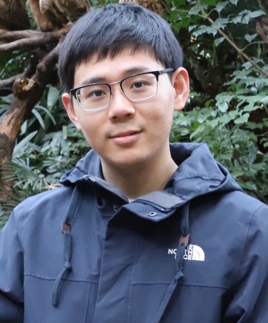 Ze Yang (杨泽)合作论文数Department of Computer Science, University of Toronto;Waabi;Vector Institute10
 Jingkang Wang (王靖康)合作论文数Waabi10
 Siva Manivasagam合作论文数University of Toronto9Ming Liang (梁鸣)合作论文数5
 Bin Yang (杨斌)合作论文数MiniMax5
 Rui Hu合作论文数Waabi4
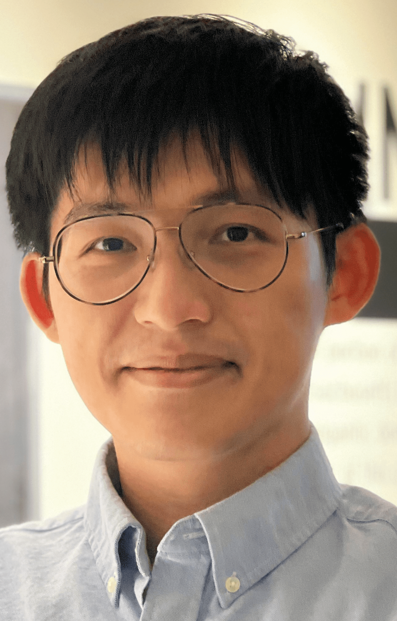 Wei-Chiu Ma (馬惟九)合作论文数Department of Computer Science, College of Computing and Information Science, Cornell University;University of Washington3
 Xiaotao Shao (邵小桃)合作论文数School of Electronic and Information Engineering, Beijing Jiaotong University3
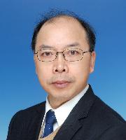 Zhongli Wang (王忠立)合作论文数School of Electronic and Information Engineering, Beijing Jiaotong University3
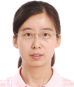 Yan Shen (申艳)合作论文数School of Electronic and Information Engineering, Beijing Jiaotong University3
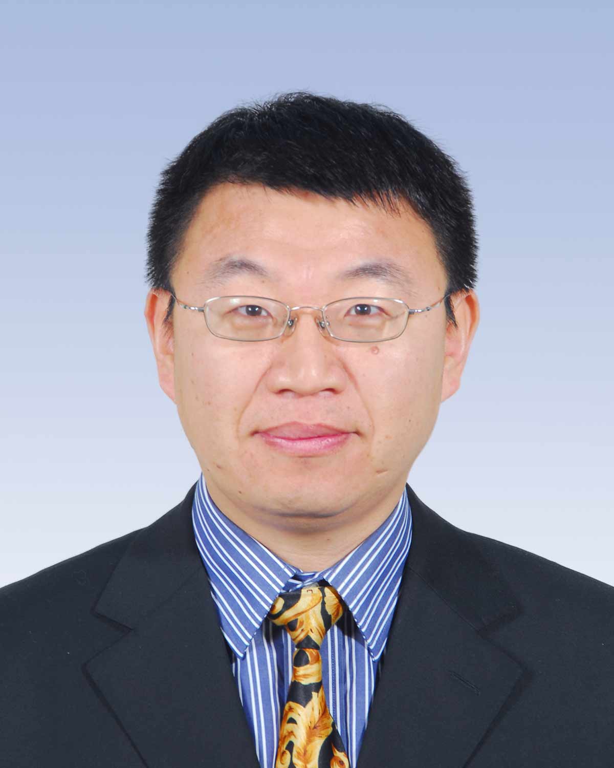 Bo Xiao (肖波)合作论文数School of Artificial Intelligence, Beijing University of Posts and Telecommunications3Anqi Joyce Yang合作论文数2Cheng Dai合作论文数2Yi Xie合作论文数South China University of Technology2
 Renjie Liao (廖仁杰)合作论文数Department of Electrical and Computer Engineering, Faculty of Applied Science, The University of British Columbia;Google Brain2
 Shenlong Wang (王申龙)合作论文数Department of Computer Science, The Grainger College of Engineering, University of Illinois at Urbana-Champaign2
 Xinchen Yan (严欣辰)合作论文数Luma AI2
 Ersin Yumer合作论文数Adobe2
 Wenyuan Zeng合作论文数Ubiquant2Sivabalan Manivasagam合作论文数1Lily Goli合作论文数1Henry Che合作论文数1Haowei Zhang合作论文数1Gary Sun合作论文数1Jeffrey Yunfan Liu合作论文数1Shangjie Xue合作论文数1
 Ava Pun合作论文数Computer Science Department, Carnegie Mellon University1
 Yujiao Du合作论文数1Song Feng合作论文数Uber ATG1Frieda Rong合作论文数1Junxuan Chen合作论文数Alibaba Grp, Hangzhou, Zhejiang, Peoples R China1
 Liao Zhang合作论文数1
 Jiyong Wang合作论文数Sch Elect & Informat, Hangzhou Dianzi Univ1
 Xuansong Xie合作论文数Damo Academy, Alibaba Group1
 Luo Meng (骆萌)合作论文数1
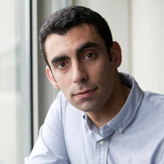 Eilyan Bitar合作论文数Electrical and Computer Engineering, College of Engineering, Cornell University1
 Ying Chi (迟颖)合作论文数Zhejiang University-University of Edinburgh Institute, Zhejiang University1
 Yingchun Zhang (张迎春)合作论文数Department of Biomedical Engineering, College of Engineering, University of Miami1
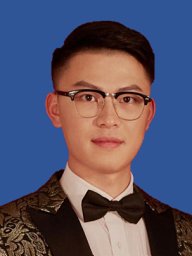 Qiuping Jiang (姜求平)合作论文数School of Information Science and Engineering, Ningbo University1
 Mengye Ren合作论文数Department of Computer Science, New York University1
 Shivam Duggal合作论文数Electrical Engineering and Computer Science Department, Massachusetts Institute of Technology1
 James Tu合作论文数University of Toronto;Waabi1
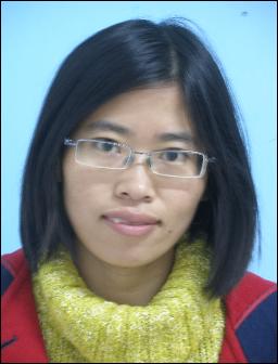 Yali Hou (侯亚丽)合作论文数School of Electronic and Information Engineering, Beijing Jiaotong University1
 Xiaoli Hao (郝晓莉)合作论文数School of Electronic and Information Engineering, Beijing Jiaotong University1
 Liping Yan (闫莉萍)合作论文数School of Automation, Beijing Institute of Technology1
 Qing Wang (王青)合作论文数School of Computer Science and Engineering, Sun Yat-sen University1
 Sergio Casas合作论文数Perception and Behavior Reasoning Team, Waabi1




