Quality data is important in making estimates of the current state of marine environments. At the Center for Ocean Technology at the University of South Florida, we have developed the Camera Based Assessment Survey System (C-BASS) towbody by combining the ease of off the shelf components with a custom software framework. C-BASS entails the integration of custom software and hardware components, off the shelf instrumentation, and web servers to distribute this data real-time to the user while storing all the parameters vital to the research endeavor.Key choices made during the design phase encompassed three main areas of focus; first and foremost was the ease of use for the operators of C-BASS while ensuring the robustness of the data collected. The topside client interface is based on a RESTful web api interface, creating a familiar environment for users entailing a modern web-browser as the only topside software for operators. The data collection entails a database synchronized to a GPS ship clock, including all towbody video, sensors, and sonar, as well as ship-sourced data such as sonars, positioning, and attitude. Therefore, in analyzing the data complex operations and custom data tables can be created from the relational SQL database. Second, there was a focus on the use of commercial off the shelf hardware components (COTS), software libraries, and applications to speed development. The base communications link was realized with digital subscriber line (DSL) modems over cables as basic as three internal conductors and a conductive outer shielding as a fourth conductor. While limiting the data sent through the uplink, the DSL modems remove the need for fiber optic cables and the operational needs associated them. Thus, the paradigm of a high bandwidth local data collection on the towbody and a low bandwidth real time link for real time monitoring of data quality during deployments, led to the development of a client-server model. Control and monitoring are done on the client side interface, while a small form factor COTS computer running Ubuntu Linux acts as the C-BASS main processor handling the server side backend, requests, and data recording.Last, prioritization was given to the ability for streamlined future enhancements. These enhancements can include additional or better cameras, new sensors, or changes to the user interface (UI). While the use of COTS components eases initial development, it also serves to keep the system in a modular design which assists later modifications. Further, the ability to utilize a wide variety of sensor interfaces allows for these components, and for a client side code display tailored to the user. However, it is in keeping an eye on being easily expandable that led to the design of sensor readers, with much of the code inherited from a generic parent function, along with the separation of such in the software framework from the tasks of data logging and data display in the UI. This paper will discuss the design choices that were made as well as the reasons for our methodology.
Contributions of organic alkalinity (Org-Alk) to total alkalinity (TA) were investigated in surface waters from three different coastal environments (estuary, urban, mangrove) and offshore sites in the Gulf of Mexico. ∆TA was calculated as the difference between directly measured TA, and TA calculated from total dissolved inorganic carbon (DIC) and pH. In low nutrient surface waters, ∆TA should be dominated by Org-Alk with minor contributions from inorganic nutrients (e.g., HPO42− and SiO(OH)3−). Average values of ∆TA were 0.1±5.0μmolkg−1 at coastal sites outside the Mississippi–Atchafalaya River Estuary (n=17), 33.6±18.0μmolkg−1 in the Suwannee River Estuary (n=17), 16.0±25.4μmolkg−1 in the Tampa Bay, Caloosahatchee River, and Ten Thousand Islands area (n=55), and −1.0±4.9μmolkg−1 in offshore waters (n=14) in the northern Gulf of Mexico. In addition to Org-Alk assessments based on ∆TA, procedures were developed for direct spectrophotometric measurements of Org-Alk via titrations of samples that were purged of CO2. Two-step titrations of these DIC-free samples consisted of a first titration from pH4.5 to 6.0 performed using bromocresol purple (BCP), and a second titration, from pH6.0 to about 8, using cresol red (CR) as the indicator. By diluting all samples, including the offshore reference sample, to a common salinity (the lowest salinity of the coastal samples), borate alkalinity was presumed to be identical for all samples. Org-Alk values were calculated as differences between titration results obtained for coastal samples and the offshore reference sample and, through ancillary nutrient measurements, accounted for alkalinity contributions from silicate and phosphate. The direct titrations confirmed the existence of substantial Org-Alk in coastal samples. Spectrophotometric titration data were also used for model fitting in order to assess the dissociation constants (pKi) of the organic acids. The pKi of the organic acids were within the previously reported range for riverine fulvic acids.
The goals of this project were to determine the daily, seasonal and spatial patterns of red grouper Epinephelus morio sound production on the West Florida Shelf (WFS) using passive acoustics. An 11 month time series of acoustic data from fixed recorders deployed at a known E. morio aggregation site showed that E. morio produce sounds throughout the day and during all months of the year. Increased calling (number of files containing E. morio sound) was correlated to sunrise and sunset, and peaked in late summer (July and August) and early winter (November and December). Due to the ubiquitous production of sound, large-scale spatial mapping across the WFS of E. morio sound production was feasible using recordings from shorter duration-fixed location recorders and autonomous underwater vehicles (AUVs). Epinephelus morio were primarily recorded in waters 15-93 m deep, with increased sound production detected in hard bottom areas and within the Steamboat Lumps Marine Protected Area (Steamboat Lumps). AUV tracks through Steamboat Lumps, an offshore marine reserve where E. morio hole excavations have been previously mapped, showed that hydrophone-integrated AUVs could accurately map the location of soniferous fish over spatial scales of <1 km. The results show that passive acoustics is an effective, non-invasive tool to map the distribution of this species over large spatial scales.
Ocean gliders are a powerful platform for collecting large-scale data on the distribution of sound-producing animals while also collecting environmental data that may influence their distribution. Since 2009, we have performed extensive mapping on the West Florida Shelf with ocean gliders equipped with passive acoustic recorders. These missions have revealed the distribution of red grouper as well as identified several unknown sounds likely produced by fishes. In March 2014, we ran a mission along the shelf edge from Cape Canaveral, FL to North Carolina to map fish sound production. The Gulf Stream and its strong currents necessitated a team effort with ocean modeling to guide the glider successfully to two marine protected areas. This mission also revealed large distributions of unknown sounds, especially on the shallower portions of the shelf. Gliders provide valuable spatial coverage, but because they are moving and most fish have strong diurnal sound production patterns, data analysis on presence and absence must be made carefully. In many of these cases, it is best to use a combination of platforms, including fixed recorders and ocean profilers to measure temporal patterns of sound production.
Multi-sensor platforms like buoys and gliders produce one or more readings per sensor on varying, discrete time frequencies. The resulting datasets are a matricies with rows containing readings from sensors that reported at a moment in time and NULL for missing readings from sensors that did not. Traditional Relational Database Management Systems (RDBMS) are already well suited for the dense matricies in which NULL values are infrequent. The efficiency of these systems deteriorates though as data becomes more sparse. The University of South Florida College of Marine Science Ocean Technology Group (COT) operates four gliders. Each glider produces dynamic, different sparse datasets. Other data management solutions exist, but they are based on a RDBMS. COT has been investigating an alternative without using and RDBMS. Glider Database Alternative with Mongo (GDAM) is a data management system for gliders built on the MongoDB NoSQL database engine. It is live in production at COT. GDAM is a collection of scripts which parse, process and store real-time glider datasets. Data is parsed as soon as it is transmitted via satellite to our shore-based servers. The system has been tested during two Slocum G1 glider deployments in September and October of 2012. Archival datasets dating back to March of 2009 have also been uploaded into this system. Records are indexed by time, GPS, and depth with the ability to add more indexes as necessary. The paper outlines dataset problems identified using data from COT glider operations in 2012. These problems inform a discussion of design decisions and possible options considering both RDBMS and NoSQL systems. The paper concludes by discussing the current implementation of GDAM.
Building on the spectrophotometric procedure of Yao and Byrne (1998), an automated analysis system has been developed for laboratory and shipboard measurements of total alkalinity at a rate of 6 samples per hour. The system is based on single-point hydrochloric acid (HCl) titrations of seawater samples of a known volume with bromocresol purple as an indicator. The titration is continuously monitored using visible spectroscopy to guide the titration rate according to the real-time pH of the samples. Each titration is terminated just below the equivalence point to achieve a precision and accuracy near 1 μmol kg− 1.
While it is widely known that numerous fish species produce sound, discerning when and where is more challenging. Through the use of autonomous passive acoustic technology, the spatial and temporal patterns of fish sound production, namely red grouper Epinephelus morio, in the eastern Gulf of Mexico were documented. Two methods have been employed off west-central Florida: moored passive acoustic arrays deployed in 2008 and 2009 covering over 16 600 km2 from the coast to 100 m deep, and autonomous gliders with integrated hydrophones deployed cross-shelf for up to 4weeks. Over four million acoustic files generated from these methods were analyzed using DSGLab, an open-source database and data analysis system implemented using Matlab and MySQL. An automatic detection algorithm was created and implemented in DSGLab to determine the presence of red grouper calls. False detections were removed manually and the results were analyzed to determine diel and seasonal variability of red grouper sound production in addition to identifying the range of red grouper in the eastern Gulf of Mexico. Support was provided by the University of South Florida, Center for Ocean Technology glider staff, and the captains and crew of the R/Vs Weatherbird II, FishHawk, Eugenie Clark, and Allicat, and the M/V Narcosis. This research was funded by NOPP (OCE-0741705) awarded to DM and the USF/USGS Graduate Assistantship awarded to CW.
The Center for Robot-Assisted Search and Rescue (CRASAR®) deployed a customized AEOS man-portable unmanned surface vehicle and two commercially available underwater vehicles (the autonomous YSI EcoMapper and the tethered VideoRay) for inspection of the Rollover Pass bridge in the Bolivar peninsula of Texas in the aftermath of Hurricane Ike. A preliminary domain analysis with the vehicles identified key tasks in subsurface bridge inspection (mapping of the debris field and inspecting the bridge footings for scour), control challenges (navigation under loss of GPS, underwater obstacle avoidance, and stable positioning in high currents without GPS), possible improvements to human-robot interaction (having additional display units so that mission specialists can view and operate on imagery independently of the operator control unit, incorporating 2-way audio to allow operator and field personnel to communicate while launching or recovering the vehicle, and increased state sensing for reliability), and discussed the cooperative use of surface, underwater, and aerial vehicles. The article posits seven milestones in the development of a fully functional UMV for bridge inspection: standardize mission payloads, add health monitoring, improve teleoperation through better human-robot interaction, add 3D obstacle avoidance, improve station-keeping, handle large data sets, and support cooperative sensing.
The sea robot-assisted inspection (Sea-RAI) marsupial robot team is the first known manportable unmanned surface vehicle (USV) that hosts an unmanned aerial vehicle (UAV). The Sea-RAI is designed for inspecting littoral environments for military, environmental, and disaster-response applications. The project also provides a platform for exploring the four roles in a marsupial team: courier, messenger, manager, and coach. The cooperation between the vehicles extends their capabilities beyond the capabilities of a single vehicle. This article describes the robot team, details the design and construction of low-cost USVs, and describes the demonstration of the integrated system and the four key capabilities, such as seaworthiness, data display, marsupialism, and mission logging.
The Center for Robot-Assisted Search and Rescue has fielded two AEOS man-portable unmanned surface, a YSI Ecomapper and Video Ray underwater marine vehicle in the aftermath of Hurricanes Wilma (2005, Florida) and Ike (2008, Texas) for littoral structural inspection. By providing above and below waterline inspection of roads, bridges, seawalls, robots could cut the time involved in determining how to repair a bridge from on order of a month to a few days and could eliminate the need for divers to risk their lives trying to see and move around debris in cloudy, fast-moving currents. For example, using a DIDSON acoustic camera, healthy pilings were seen at Rollover Pass Bridge but scour was seen at the Marco Island bridge.The AEOS unmanned surface vehicle is a catamaran style design with a central T-shaped chassis that supports the electronics, instrumentation and control system. The footprint is 1.9m long and 1.2m wide with a minimum draft of 0.3m. The USV is engineered for autonomous and teleoperated control. The custom software allows for point and click waypoint inputs through a Google Earth style interface. All data and system information is georeferenced and databased.Besides illustrating the utility of unmanned marine vehicles for hurricane damage assessment, the field work identified many open research questions for unmanned surface vehicles (USVs). Fully autonomous control in USVs is hampered by the loss of GPS and inaccuracies near structures, such as going under bridges as well as rough seas and currents. Even with accurate GPS, the simultaneous localization and mapping (SLAM) for super- and sub-structures is difficult. USVs suffer from the limitations of wireless communications, including intermittent loss and low bandwidth compared with the amount of video imagery being transmitted. Atmospheric effects such as fog and spray interfere with autonomous sensing and avoidance as well as teleoperation.
 Chad Lembke合作论文数4
 Eric T. Steimle合作论文数3
 David A. Mann合作论文数University of South Florida College of Marine Science3
 Carrie Wall合作论文数2
 Robert H. Byrne合作论文数Department of Chemical Oceanography, College of Marine Science, University of South Florida2
 Robin Murphy合作论文数Humanitarian Robotics and AI Laboratory, Department of Computer Science and Engineering, College of Engineering, Texas A&M University2Chandler Griffin合作论文数1Kevin S. Pratt合作论文数1
 Ruoying He合作论文数1dmitry kalyadin合作论文数1Chris Taylor合作论文数1Palankar, M.合作论文数1Jeff Kramer合作论文数Comput. Sci. & Eng., Univ. of South Florida;c;Comput. Sci. & Eng., Univ. of South Florida1
 Easley Regina A合作论文数1Simard P合作论文数1
 Bo Yang合作论文数1
 Chuanmin Hu合作论文数College of Marine Science, University of South Florida1
 Steve Murawski合作论文数Department of Biological Oceanography, College of Marine Science, University of South Florida1Steven Butcher合作论文数1Alex Silverman合作论文数1
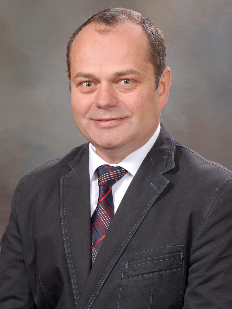 Stefan Hurlebaus合作论文数Department of Civil Engineering, Texas A&M University1
 David F. Naar合作论文数Department of Marine Science;University of South Florida;Department of Marine Science, University of South Florida1Peter Simard合作论文数1
 Zenon Medina-Cetina合作论文数Zachry Department of Civil Engineering CE/TTI Building, Texas A&M University1
 Xuewu Liu合作论文数Academic Institute;Department of Nanomedicine, Houston Methodist Research Institute;Dr. Mary and Ron Neal Cancer Center, Houston Methodist Research Institute1G Todd Kellison合作论文数1
 William D. Armitage合作论文数1Jeremy T. Mathis合作论文数School of Fisheries and Ocean Sciences, University of Alaska Fairbanks1
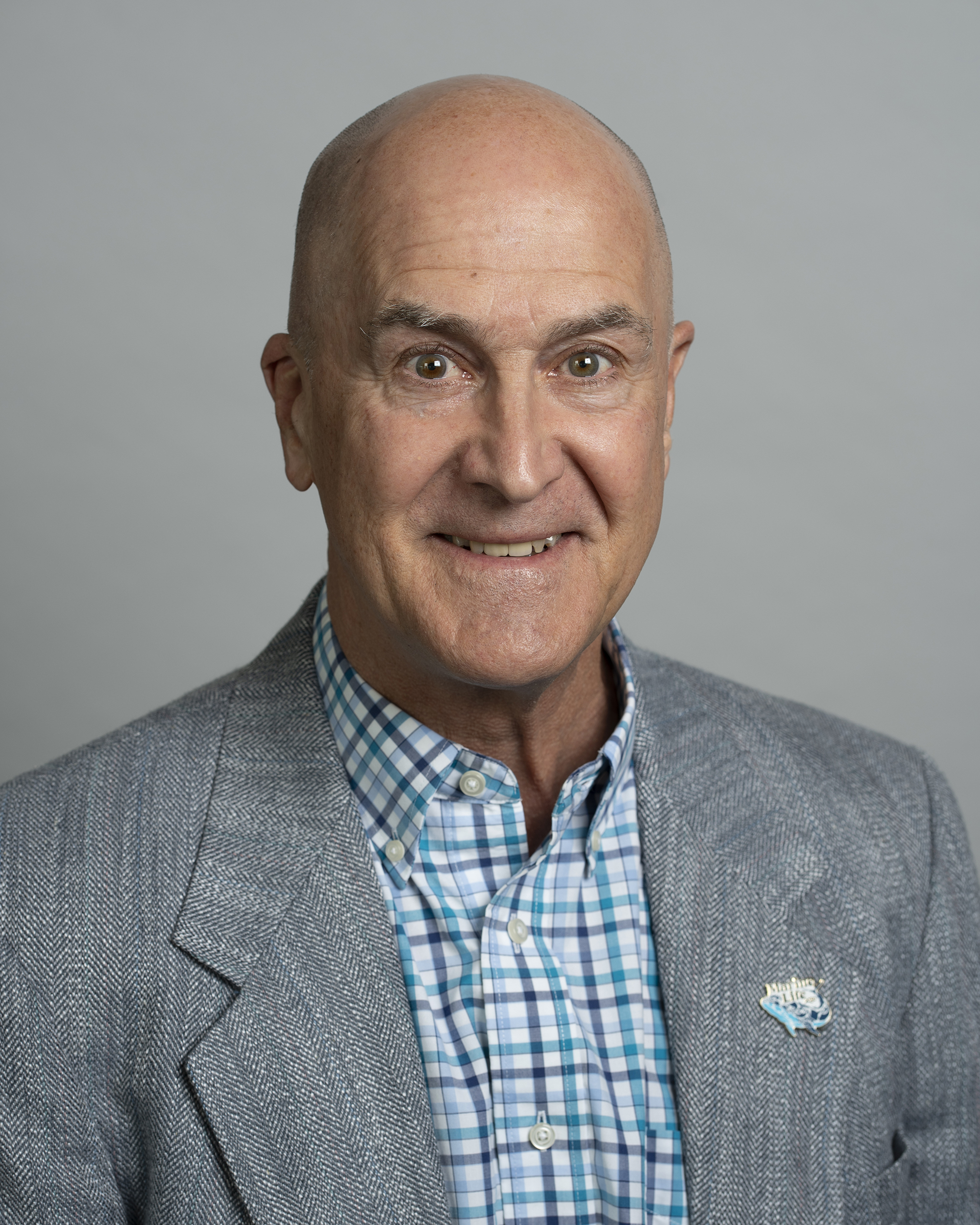 Frank E. Muller Karger合作论文数Department of Biological Oceanography, College of Marine Science, University of South Florida;Institute for Marine Remote Sensing, College of Marine Science, University of South Florida1
 David Alejandro Trejo Pizzo合作论文数1Karen L. Dreger合作论文数1




