A generalist foundation model agent needs to have a large and diverse skill repertoire, such as finding directions between two travel locations and buying specific items from the Internet. If each skill needs to be specified manually through a fixed set of human-annotated instructions, the agent’s skill repertoire will necessarily be limited due to the scalability of human-annotated instructions. In this work, we address this challenge by proposing Proposer-Agent-Evaluator (PAE), an effective learning system that enables foundation model agents to autonomously discover and practice skills in the wild. After a context-aware task proposer generates instructions based on website information, the agent policy attempts those tasks in the real world with resulting trajectories evaluated by an autonomous VLM-based success evaluator. The success evaluation serves as the reward signal for the agent to refine its policies through RL. We validate PAE on challenging vision-based web navigation, using both real-world and selfhosted websites from WebVoyager and WebArena. Our results show that PAE significantly improves the zero-shot generalization capability of VLM Internet agents (around 50% relative improvement)to both unseen tasks and websites.
Point cloud annotation plays a pivotal role in computer vision and machine learning by facilitating the creation of volumetric annotations in 3D space. While prior research has explored point cloud annotation in VR environments, its practical implementation in space-constrained office settings, where data annotation is typically conducted, remains an open question. In this paper, we introduce Annorama, an interactive system that translates 3D point cloud scenes into miniature desk-scale dioramas, enabling annotation using a unique family of keyboard-assisted mid-air gestures inspired by direct manipulation. Through a within-subjects study with 16 participants, we demonstrate the feasibility of our system by assessing the efficacy of four types of mid-air gestures for drawing cuboid annotations. Our findings suggest that Annorama allows for rapid and accurate annotation of point cloud data, particularly with the Sizing and Two Point Gestures.
Large Language Models (LLMs) are increasingly used for generating code solutions, empowered by features like self-debugging and self-reflection. However, LLMs often struggle with complex programming problems without human guidance. This paper investigates the strategies employed by expert programmers to steer code-generating LLMs toward successful outcomes. Through a study involving experts using natural language to guide GPT-4, Gemini Ultra, and, Claude 3.5 Sonnet on highly difficult programming challenges, we frame our analysis using the “Socratic Feedback” paradigm for understanding effective steering strategies. By analyzing 30 conversational transcripts across all three models, we map observed feedback strategies to five stages of Socratic Questioning: Definition, Elenhus, Maieutic, Dialectic, and Counter-factual reasoning. We find evidence that by employing a combination of different Socratic feedback strategies across multiple turns, programmers successfully guided the models to solve 74% of the problems that the models initially failed to solve on their own.
Affordance grounding refers to the task of finding the area of an object with which one can interact. It is a fundamental but challenging task, as a successful solution requires the comprehensive understanding of a scene in multiple aspects including detection, localization, and recognition of objects with their parts, of geo-spatial configuration/layout of the scene, of 3D shapes and physics, as well as of the functionality and potential interaction of the objects and humans. Much of the knowledge is hidden and beyond the image content with the supervised labels from a limited training set. In this paper, we make an attempt to improve the generalization capability of the current affordance grounding by taking the advantage of the rich world, abstract, and human-object-interaction knowledge from pre-trained large-scale vision language models [40]. Under the AGD20K benchmark, our proposed model demonstrates a significant performance gain over the competing methods for in-the-wild object affordance grounding. We further demonstrate it can ground affordance for objects from random Internet images, even if both objects and actions are unseen during training.
By combining natural language understanding, generation capabilities, and breadth of knowledge of large language models with image perception, recent large vision language models (LVLMs) have shown unprecedented visual reasoning capabilities. However, the generated text often suffers from inaccurate grounding in the visual input, resulting in errors such as hallucination of nonexistent scene elements, missing significant parts of the scene, and inferring incorrect attributes of and relationships between objects. To address these issues, we introduce a novel framework, ViGoR ([Vi]sual [G]r[o]unding Through Fine-Grained [R]eward Modeling) that utilizes fine-grained reward modeling to significantly enhance the visual grounding of LVLMs over pre-trained baselines. This improvement is efficiently achieved using much cheaper human evaluations instead of full supervisions, as well as automated methods. We show the effectiveness of our approach through a variety of evaluation methods and benchmarks. Additionally, we released our human annotation (https://github.com/amazon-science/vigor) comprising 15,440 images and generated text pairs with fine-grained evaluations to contribute to related research in the community.
Object detection tasks are central to the development of datasets and algorithms in computer vision and machine learning. Despite its centrality, object detection remains tedious and time-consuming due to the inherent interactions that are often associated with drawing precise annotations. In this paper, we introduce Snapper, an interactive and intelligent annotation tool that intercepts bounding box annotations as they're drawn and "snaps" them to the nearby object edges in real-time. Through a mixed-design user study with 18 full-time annotators, we compare Snapper's annotation mode to alternative modes of annotation and find that Snapper enables participants to complete object detection tasks 39% more quickly without diminishing annotation quality. Further, we find that participants perceive Snapper as a tool that is interactively intuitive, trustworthy, and helpful. We conclude by discussing the implications of our findings as they relate to augmenting annotators' conventions for drawing annotations in practice.
Self-supervised pretraining on large unlabeled datasets has shown tremendous success in improving the task performance of many 2D and small scale 3D computer vision tasks. However, the popular pretraining approaches have not been impactfully applied to outdoor LiDAR point cloud perception due to the latter's scene complexity and wide range. We propose a new self-supervised pretraining method ISCC with two novel pretext tasks for LiDAR point clouds. The first task uncovers semantic information by sorting local groups of points in the scene into a globally consistent set of semantically meaningful clusters using contrastive learning, complemented by a second task which reasons about precise surfaces of various parts of the scene through implicit surface reconstruction to learn geometric structures. We demonstrate their effectiveness through transfer learning on 3D object detection and semantic segmentation in real world LiDAR scenes. We further design an unsupervised semantic grouping task to show that our approach learns highly semantically meaningful features.
Bird's-Eye View (BEV) features are popular intermediate scene representations shared by the 3D backbone and the detector head in LiDAR-based object detectors. However, little research has been done to investigate how to incorporate additional supervision on the BEV features to improve proposal generation in the detector head, while still balancing the number of powerful 3D layers and efficient 2D network operations. This paper proposes a novel scene representation that encodes both the semantics and geometry of the 3D environment in 2D, which serves as a dense supervision signal for better BEV feature learning. The key idea is to use auxiliary networks to predict a combination of explicit and implicit semantic probabilities by exploiting their complementary properties. Extensive experiments show that our simple yet effective design can be easily integrated into most state-of-the-art 3D object detectors and consistently improves upon baseline models.
Pretraining on large unlabeled datasets has been proven to improve the down-stream task performance on many computer vision tasks, such as 2D object detection and video classification. However, for large-scale 3D scenes, such as outdoor LiDAR point clouds, pretraining is not widely used. Due to the special data characteristics of large 3D point clouds, approaches for 2D pretraining frameworks tend to not generalize well to this domain. In this paper, we propose a new self-supervised pretraining method that targets large-scale 3D scenes. We pretrain commonly used point-based and voxel-based model architectures and show the transfer learning performance on 3D object detection and semantic segmentation. We demonstrate the effectiveness of our approach on both dense 3D indoor point clouds and sparse outdoor LiDAR point clouds.
Recent methods in self-supervised learning have demonstrated that masking-based pretext tasks extend beyond NLP, serving as useful pretraining objectives in computer vision. However, existing approaches apply random or ad hoc masking strategies that limit the difficulty of the reconstruction task and, consequently, the strength of the learnt representations. We improve upon current state-of-the-art work in learning adversarial masks by proposing a new framework that generates masks in a sequential fashion with different constraints on the adversary. This leads to improvements in performance on various downstream tasks, such as classification on ImageNet100, STL10, and CIFAR10/100 and segmentation on Pascal VOC. Our results further demonstrate the promising capabilities of masking-based approaches for SSL in computer vision.
In this paper, we introduce a non-parametric memory representation for spatio-temporal segmentation that captures the local space and time around an autonomous vehicle (AV). Our representation has three important properties: (i) it remembers what it has seen in the past, (ii) it reinforces and (iii) forgets its past beliefs based on new evidence. Reinforcing is important as the first time we see an element we might be uncertain, e.g, if the element is heavily occluded or at range. Forgetting is desirable, as otherwise false positives will make the self driving vehicle behave erratically. Our process is informed by 3D reasoning, as occlusion is key to distinguishing between the desire to forget and to remember. We show how our method can be used as an online component to complement static world representations such as HD maps by detecting and remembering changes that should be superimposed on top of this static view due to such events.
In the past few years we have seen great advances in object perception (particularly in 4D space-time dimensions) thanks to deep learning methods. However, they typically rely on large amounts of high-quality labels to achieve good performance, which often require time-consuming and expensive work by human annotators. To address this we propose an automatic annotation pipeline that generates accurate object trajectories in 3D space (i.e., 4D labels) from LiDAR point clouds. The key idea is to decompose the 4D object label into two parts: the object size in 3D that's fixed through time for rigid objects, and the motion path describing the evolution of the object's pose through time. Instead of generating a series of labels in one shot, we adopt an iterative refinement process where online generated object detections are tracked through time as the initialization. Given the cheap but noisy input, our model produces higher quality 4D labels by re-estimating the object size and smoothing the motion path, where the improvement is achieved by exploiting aggregated observations and motion cues over the entire trajectory. We validate the proposed method on a large-scale driving dataset and show a 25% reduction of human annotation efforts. We also showcase the benefits of our approach in the annotator-in-the-loop setting.
In this paper, we propose a unified panoptic segmentation network (UPSNet) for tackling the newly proposed panoptic segmentation task. On top of a single backbone residual network, we first design a deformable convolution based semantic segmentation head and a Mask R-CNN style instance segmentation head which solve these two subtasks simultaneously. More importantly, we introduce a parameter-free panoptic head which solves the panoptic segmentation via pixel-wise classification. It first leverages the logits from the previous two heads and then innovatively expands the representation for enabling prediction of an extra unknown class which helps better resolve the conflicts between semantic and instance segmentation. Additionally, it handles the challenge caused by the varying number of instances and permits back propagation to the bottom modules in an end-to-end manner. Extensive experimental results on Cityscapes, COCO and our internal dataset demonstrate that our UPSNet achieves state-of-theart performance with much faster inference.
In this paper we propose a novel semantic localization algorithm that exploits multiple sensors and has precision on the order of a few centimeters. Our approach does not require detailed knowledge about the appearance of the world, and our maps require orders of magnitude less storage than maps utilized by traditional geometry- and LiDAR intensity-based localizers. This is important as self-driving cars need to operate in large environments. Towards this goal, we formulate the problem in a Bayesian filtering framework, and exploit lanes, traffic signs, as well as vehicle dynamics to localize robustly with respect to a sparse semantic map. We validate the effectiveness of our method on a new highway dataset consisting of 312km of roads. Our experiments show that the proposed approach is able to achieve 0.05m lateral accuracy and 1.12m longitudinal accuracy on average while taking up only 0.3% of the storage required by previous LiDAR intensity-based approaches.
In this paper, we propose a unified panoptic segmentation network (UPSNet) for tackling the newly proposed panoptic segmentation task. On top of a single backbone residual network, we first design a deformable convolution based semantic segmentation head and a Mask R-CNN style instance segmentation head which solve these two subtasks simultaneously. More importantly, we introduce a parameter-free panoptic head which solves the panoptic segmentation via pixel-wise classification. It first leverages the logits from the previous two heads and then innovatively expands the representation for enabling prediction of an extra unknown class which helps better resolve the conflicts between semantic and instance segmentation. Additionally, it handles the challenge caused by the varying number of instances and permits back propagation to the bottom modules in an end-to-end manner. Extensive experimental results on Cityscapes, COCO and our internal dataset demonstrate that our UPSNet achieves state-of-the-art performance with much faster inference. Code has been made available at: https://github.com/uber-research/UPSNet
Reliable and accurate lane detection has been a long-standing problem in the field of autonomous driving. In recent years, many approaches have been developed that use images (or videos) as input and reason in image space. In this paper we argue that accurate image estimates do not translate to precise 3D lane boundaries, which are the input required by modern motion planning algorithms. To address this issue, we propose a novel deep neural network that takes advantage of both LiDAR and camera sensors and produces very accurate estimates directly in 3D space. We demonstrate the performance of our approach on both highways and in cities, and show very accurate estimates in complex scenarios such as heavy traffic (which produces occlusion), fork, merges and intersections.
The world is covered with millions of buildings, and precisely knowing each instance's position and extents is vital to a multitude of applications. Recently, automated building footprint segmentation models have shown superior detection accuracy thanks to the usage of Convolutional Neural Networks (CNN). However, even the latest evolutions struggle to precisely delineating borders, which often leads to geometric distortions and inadvertent fusion of adjacent building instances. We propose to overcome this issue by exploiting the distinct geometric properties of buildings. To this end, we present Deep Structured Active Contours (DSAC), a novel framework that integrates priors and constraints into the segmentation process, such as continuous boundaries, smooth edges, and sharp corners. To do so, DSAC employs Active Contour Models (ACM), a family of constraint- and prior-based polygonal models. We learn ACM parameterizations per instance using a CNN, and show how to incorporate all components in a structured output model, making DSAC trainable end-to-end. We evaluate DSAC on three challenging building instance segmentation datasets, where it compares favorably against state-of-the-art. Code will be made available on https://github.com/dmarcosg/DSAC.
Most contemporary approaches to instance segmentation use complex pipelines involving conditional random fields, recurrent neural networks, object proposals, or template matching schemes. In this paper, we present a simple yet powerful end-to-end convolutional neural network to tackle this task. Our approach combines intuitions from the classical watershed transform and modern deep learning to produce an energy map of the image where object instances are unambiguously represented as energy basins. We then perform a cut at a single energy level to directly yield connected components corresponding to object instances. Our model achieves more than double the performance over the state-of-the-art on the challenging Cityscapes Instance Level Segmentation task.
In this paper we introduce the TorontoCity benchmark, which covers the full greater Toronto area (GTA) with 712.5 $km^2$ of land, 8439 $km$ of road and around 400,000 buildings. Our benchmark provides different perspectives of the world captured from airplanes, drones and cars driving around the city. Manually labeling such a large scale dataset is infeasible. Instead, we propose to utilize different sources of high-precision maps to create our ground truth. Towards this goal, we develop algorithms that allow us to align all data sources with the maps while requiring minimal human supervision. We have designed a wide variety of tasks including building height estimation (reconstruction), road centerline and curb extraction, building instance segmentation, building contour extraction (reorganization), semantic labeling and scene type classification (recognition). Our pilot study shows that most of these tasks are still difficult for modern convolutional neural networks.
 Raquel Urtasun合作论文数Department of Computer Science, Faculty of Arts and Science, University of Toronto;Waabi10
 Li Erran Li合作论文数Department of Computer Science, Columbia University;Amazon Web Services8
 Shenlong Wang (王申龙)合作论文数Department of Computer Science, The Grainger College of Engineering, University of Illinois at Urbana-Champaign4
 Xiong Zhou合作论文数Amazon4
 Renjie Liao (廖仁杰)合作论文数Department of Electrical and Computer Engineering, Faculty of Applied Science, The University of British Columbia;Google Brain3
 Gellért Máttyus合作论文数Deligo Vision Technologies3
 Alex C. Williams合作论文数University of Waterloo3
 Ersin Yumer合作论文数Adobe3
 Zaiwei Zhang合作论文数Amazon Web Services3
 Subramanian Chidambaram合作论文数2
 Tristan McKinney合作论文数2
 Rui Hu合作论文数Waabi2
 Namdar Homayounfar合作论文数Waabi2
 Yuwen Xiong (熊郁文)合作论文数Machine Learning Group, Department of Computer Science, University of Toronto2
 Patrick G Haffner合作论文数Amazon Web Services2
 Wenjie Luo (骆文杰)合作论文数Waymo2
 Hengshuang Zhao (赵恒爽)合作论文数Division of AI & Data Science, School of Computing and Data Science, The University of Hong Kong2
 Bin Yang (杨斌)合作论文数MiniMax2
 Qixing Huang合作论文数2Shrinidhi K. Lakshmikanth合作论文数Uber2
 Matthew Lease合作论文数School of Information, University of Texas at Austin;NSF-Simons AI Institute for Cosmic Origins;Amazon2Li Li合作论文数1Kaixiang Lin合作论文数1Xiaopeng Li合作论文数1Erran Li合作论文数1
 Yifei Zhou合作论文数University of California, Berkeley;xAI1
 Amy Rechkemmer合作论文数Department of Computer Science, Purdue University, United States1Joel Cheverie合作论文数Univ Toronto, Dept Comp Sci, Toronto, ON, Canada1
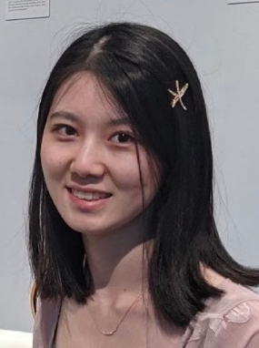 Bo Sun合作论文数The University of Texas at Austin1Lisa Zhang合作论文数Department of Mathematical & Computational Sciences, University of Toronto Mississauga1
 Ignacio Tartavull合作论文数Princeton University1
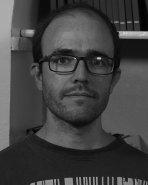 Diego Marcos合作论文数and Research Centre, Wageningen University1
 Benjamin Kellenberger合作论文数Laboratory of Geo Information Science and Remote Sensing, Wageningen University1
 Sergey Levine合作论文数Department of Electrical Engineering and Computer Sciences, University of California, Berkeley1
 Justin Liang合作论文数Waabi1
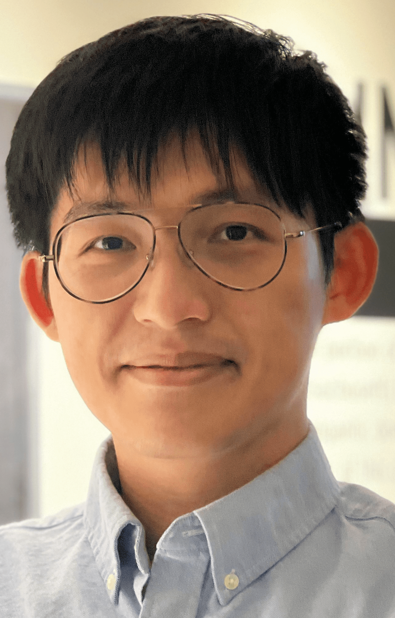 Wei-Chiu Ma (馬惟九)合作论文数Department of Computer Science, College of Computing and Information Science, Cornell University;University of Washington1
 Siming Yan合作论文数Computer Science Department, The University of Texas at Austin;Huawei1
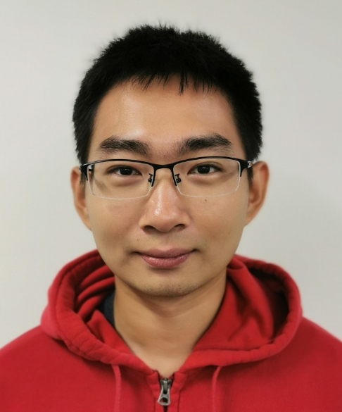 Chen Song (宋晨)合作论文数Department of Computer Science, The University of Texas at Austin;Cruise1Qianlan Yang合作论文数Department of Computer Science, University of Illinois, Urbana Champaign1
 Shengyi Qian合作论文数NVIDIA Robotics Lab;University of Michigan1
 Wenyuan Zeng合作论文数Ubiquant1
 Weifeng Chen合作论文数Adobe1
 Haitao Yang合作论文数Department of Computer Science, University of Texas at Austin1
 Kelvin Wong合作论文数Waabi1
 Xiangru Huang (黄相如)合作论文数School of Engineering, Westlake University;Foundational Algorithms for 3D Big Data Laboratory, Westlake University1Ming Liang (梁鸣)合作论文数1




